Zosia Zgolak and I had originally made plans
on 25 December 2021 to do some backcountry skiing at Kootenay Pass, but
when a maintenance worker warned us about the possible closure of the
highway due to heavy snowfall, we quickly moved on since we did not want
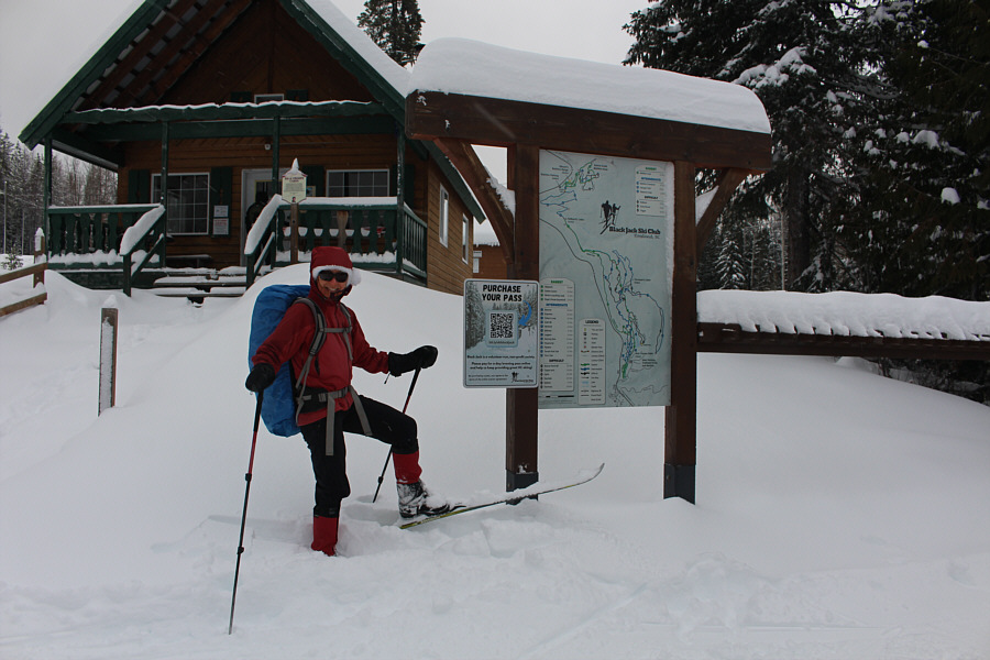
to risk getting trapped there. Instead, we drove to Rossland,
British Columbia and visited the Nordic ski trails at
Black Jack Ski Club. As a
bonus, we were able to take advantage of the club's "Ski for Free
on Christmas Day"
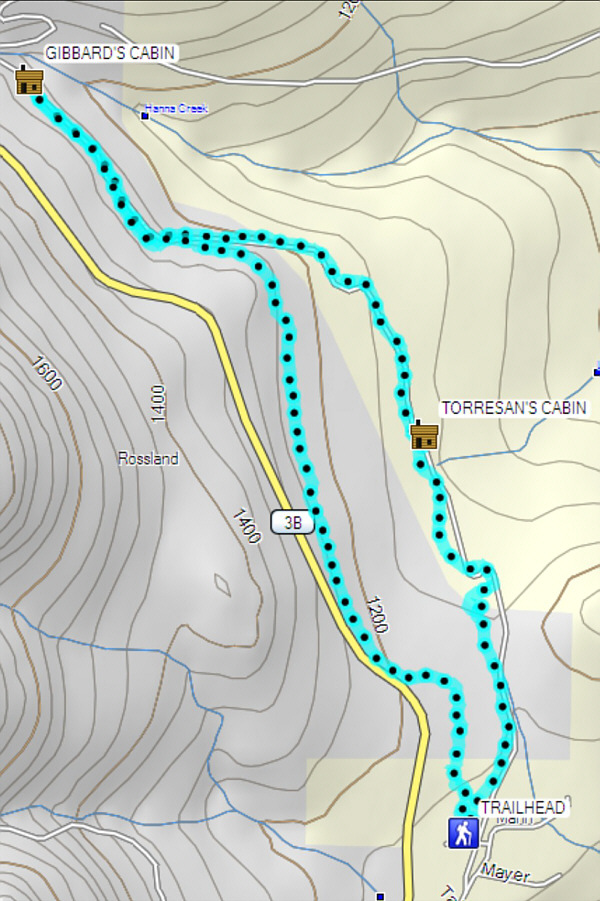
promotion. Much of the trail network is confined to a narrow
strip of land which parallels nearby Highway 3B, and although a variety
of loops are possible, we stuck fairly close to the main thoroughfare
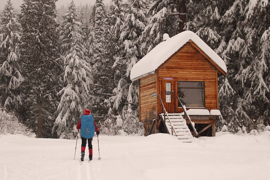
known as "Gibbard's" since it was track-set and did not require much
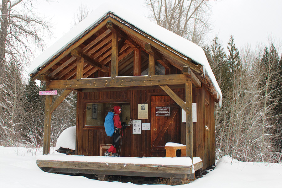
trail-breaking. While this trail eventually connects with a
biathlon trail network further north, we only went as far as Gibbard's
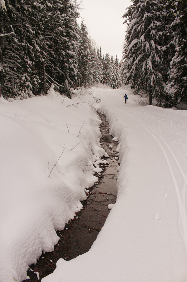
Cabin before turning around. On our return ski, we opted to take
"Roger's Route (Aqueduct)" which is a narrower and less-traveled trail.
Partway back, an older couple going the other way warned us that the
south end of the trail was a mess and so difficult that "even experienced
people were falling down!" As we would find out later, a short
section of trail was indeed churned up a bit by some sort of snow vehicle,
but we had no serious trouble skiing through here. In the end, we
never did figure out where the couple's purported difficult section was
as we cruised back to the trailhead with ease.After our visit to Black Jack Ski Club, Zosia and I drove to
the village of
Warfield to check into our hotel there, but we were not yet done for the
day. We took a short break before heading out again to try and hike
up officially-named Talus Hill which overlooks both Warfield and
the nearby town of Trail. On my phone's map application, I spotted
a trail snaking up the hill's south side, and I hoped that it would be
straightforward enough to follow despite the waning daylight and an
abundance of snow.From Highway 3B/22, turn north onto Tennyson
Avenue near the west end of Warfield or about 200 metres west of the
Petro-Canada gas station. Drive north for 450 metres and veer left
onto Wordsworth Avenue. Drive for another 260 metres until the road
ends at a parking lot for an apartment complex. There are some
limited visitor parking spots here; otherwise, park on the nearby street.
The trail to Talus Hill starts behind a "No Parking" sign along
a fire lane on the west side of the apartment complex.
As luck would have it, Zosia and I discovered that, despite heavy snow
cover in the area, the trail to Talus Hill had already been broken.
I suspect that locals climb this hill year-round and perhaps even daily.
In any case, we had a very convenient path to follow all the way to the
top of the hill, and although the slope is alarmingly steep in places
higher up, we enjoyed a fairly trouble-free ascent. I imagine that the
views from the top on a clear day would be quite nice, but given the
snowy weather and overcast skies that evening, it was probably just as
well that we ascended in growing darkness. After taking a requisite
photo on the high point, we promptly retraced our steps back down the
hill. While the glow from the nearby town lights provided
sufficient illumination for Zosia to hike down, I turned on my headlamp
because I am such a klutz when it comes to stumbling in the dark.
Fortunately, we had no mishaps on our descent, and we subsequently
wrapped up our eventful day with a nice Christmas dinner back at our
hotel.
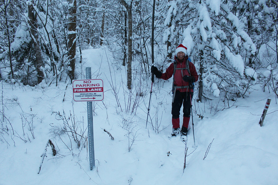 |
The trail to Talus Hill starts behind this "No Parking" sign. |
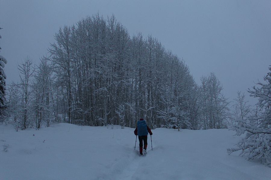 |
The trail winds its way past some frosty trees. |
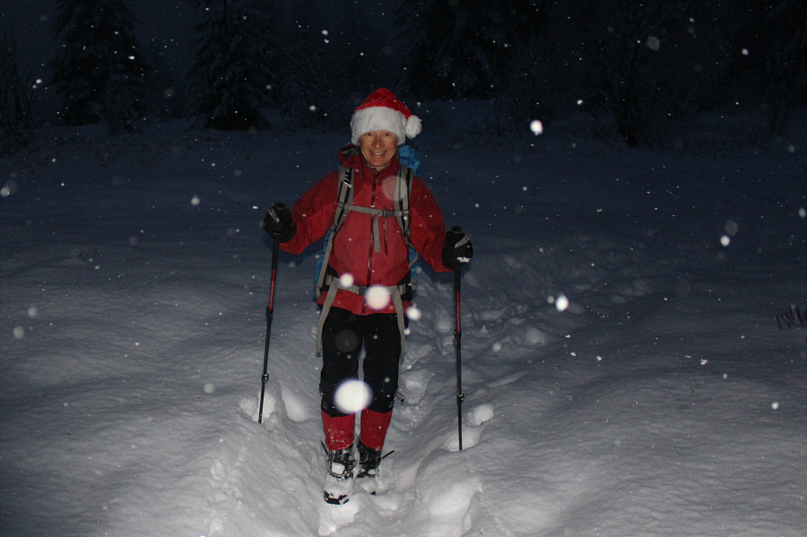 |
Zosia is still in good spirits despite the growing darkness. |
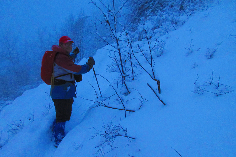 |
The terrain gets steeper higher up the hill.
Photo courtesy of Zosia Zgolak |
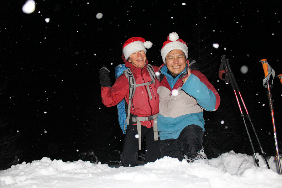 |
Zosia and Sonny celebrate Christmas in the dark on the high point of
Talus Hill (947 metres). |
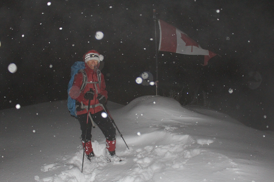 |
This flag is situated just below the top on what is likely a scenic
viewpoint. |
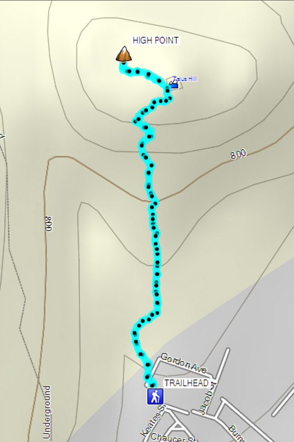 |
Total
Distance: 2.6 kilometres
Round-Trip Time: 1 hour 30 minutes
Net
Elevation Gain: 240 metres
GPX Data |