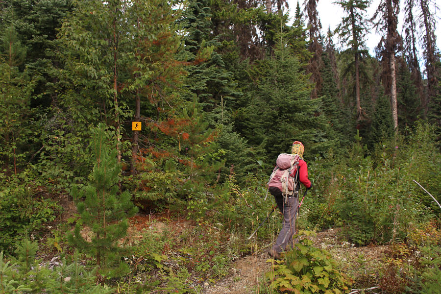
The trailhead for Coffeepot Mountain is marked with a small sign.
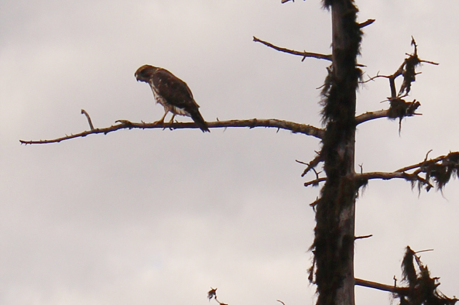
A hawk scrutinizes some intruders on its territory.
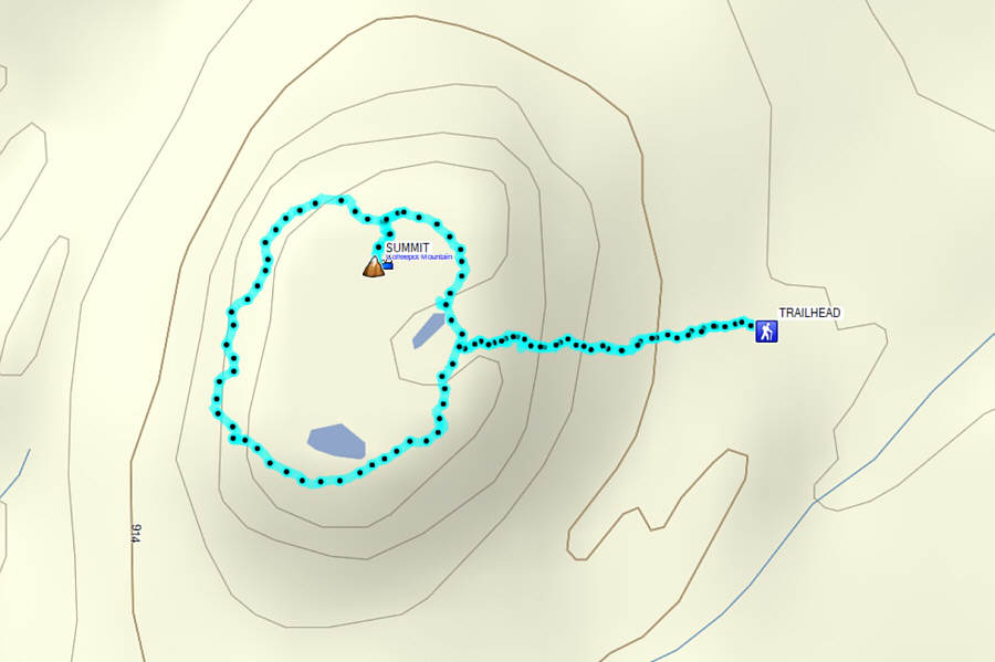
Round-Trip Time: 1 hour 51 minutes
Net Elevation Gain: 121 metres
|
|
The trailhead for Coffeepot Mountain is marked with a small sign. |
|
|
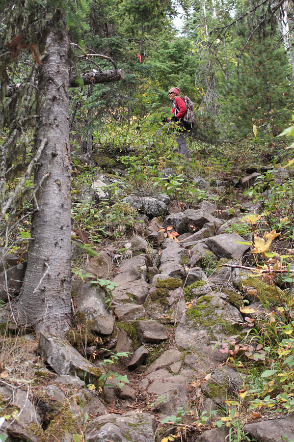
The trail going up Coffeepot Mountain is rocky and steep. |
|
|
A hawk scrutinizes some intruders on its territory. |
|
|
The trail essentially circumnavigates the perimeter of the mountain top. |
|
|
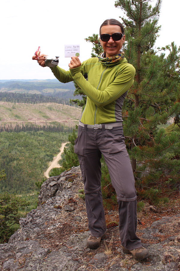
Zosia finds what looks like a tea pot and sends her mother in Poland the message, "Kawowa Góra dla Tereski". |
|
|
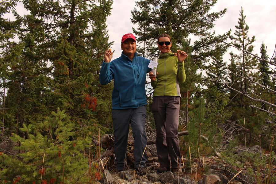
Sonny and Zosia have the good "fortune" to locate the underwhelming summit of Coffeepot Mountain (1016 metres). |
|
|
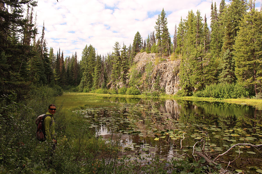
This lake seems out of place sitting atop Coffeepot Mountain. |
|
|
Total Distance: 2.6 kilometres Round-Trip Time: 1 hour 51 minutes Net Elevation Gain: 121 metres |
From Highway 97, turn west onto Talus Road 21.2 kilometres south of the community of Bear Lake or 27.2 kilometres north of the Salmon River bridge. Drive 950 metres and turn right onto Caine Creek Road. Drive 3.4 kilometres to a junction with the trailhead access road. Park here. The actual trailhead (with outhouse) is about 130 metres up the access road, but parking is limited there.
As already mentioned, Teapot Mountain is exceedingly popular, and there were already several cars parked near the trailhead when we arrived. Similar to Coffeepot Mountain, the trail initially climbs steeply before doing a loop on the mountain top. The viewpoints along this loop offer a little better scenery due to the close proximity of some large lakes. When we went off-trail again to find the summit, Zosia inadvertently discovered a survey marker which turned out to be the actual high point (Teapot Mountain's summit is marked incorrectly on my GPS unit's map). With the summit completely covered by trees, I am puzzled as to how the original surveyors were even able to make any measurements. In any case, we bushwhacked back to the loop trail once we were satisfied that there were no other potential high points to tag. The descent back to the trailhead was quick and painless.
Teapot Mountain would turn out to be the final hike of our long road trip through north central British Columbia and Haida Gwaii. Zosia and I subsequently stopped in Prince George to check the weather forecast, and with rain on the way, we decided that it was not worth hanging around the area for another day or two. Instead, we drove all the way home to Calgary that night to conclude our 22-day odyssey (4400 kilometres driven, 15 summits tagged, and 6 rounds of disc golf played).
 |
Zosia hikes up Teapot Mountain on a steep and rooty trail. |
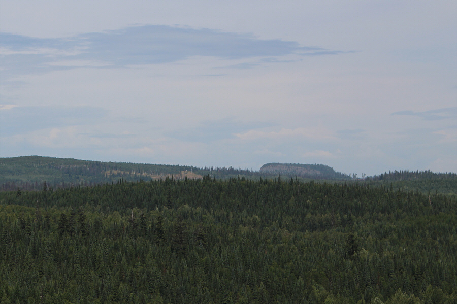 |
Coffeepot Mountain is visible about eleven kilometres away to the north. |
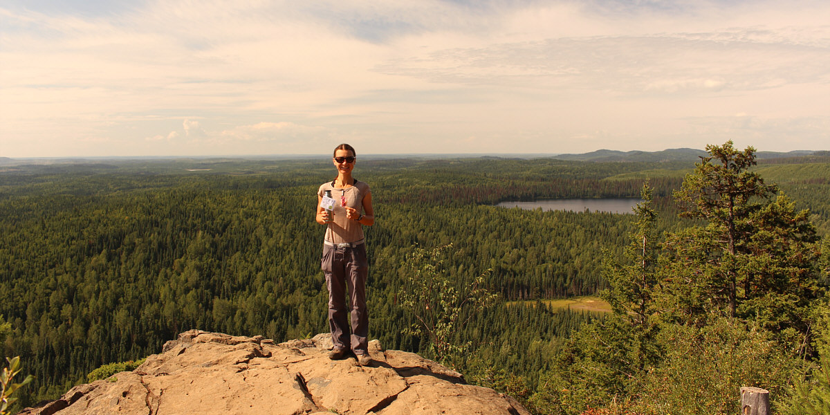
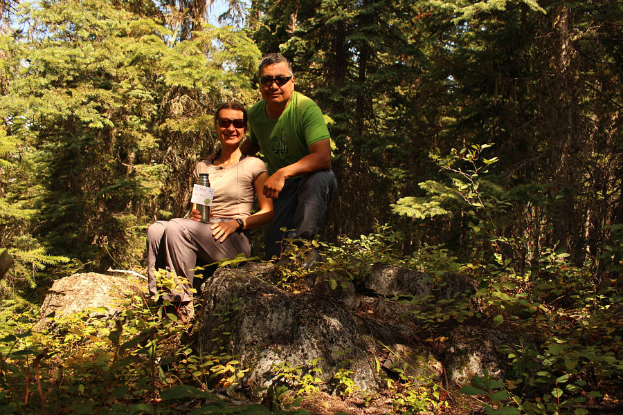
Zosia holds up a thermos full of tea at a viewpoint near the top of Teapot Mountain.
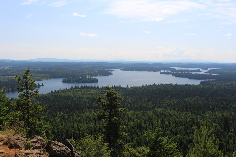 |
Summit Lake can be seen to the south from the viewpoint. |
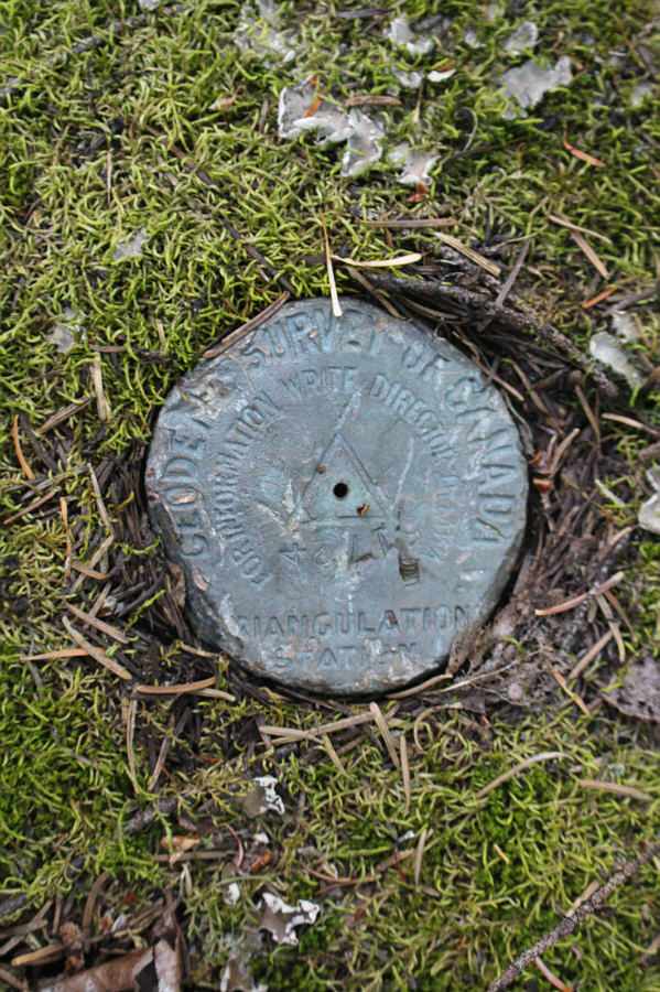 |
Surprisingly, a survey marker can be found on the completely forested summit of Teapot Mountain. |
 |
Zosia and Sonny tag the viewless summit of Teapot Mountain (917 metres). |
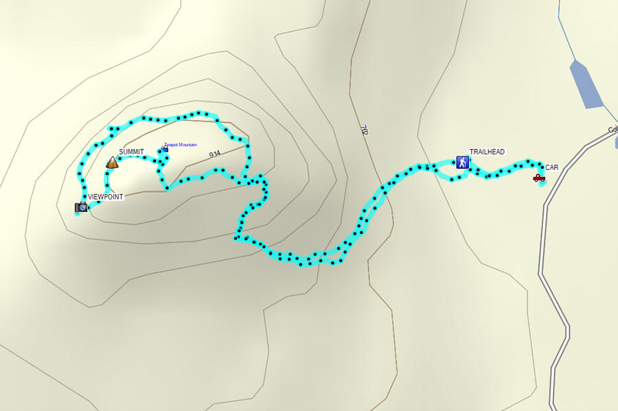 |
Total Distance: 2.7 kilometres Round-Trip Time: 2 hours 13 minutes Net Elevation Gain: 195 metres |