BOU AVENUE
Crowsnest Pass Waterfalls Tour
On 16 October 2021, Zosia Zgolak and I
invited by mother, Grace Bou, to join us for a tour of several waterfalls
in the Crowsnest Pass region of southwest Alberta. My mother
originally wanted to visit Lake Louise in Banff National Park, but given
the snowy conditions and cloudy weather there, I convinced her to get out
of her comfort zone and try something different. The weather
forecast promised sunny skies in the Crowsnest Pass area, and although
there would also be accompanying strong winds, I figured that we would be
mostly sheltered while visiting the waterfalls.
Our first stop would be Allison Creek Falls located near Chinook
Provincial Recreation Area (access via Allison Creek Road 2.7 kilometres
north of Highway 3). There are two different ways to reach the
start of the trail to the falls. One is to park at the day use area
before the bridged entrance to the nearby campground (closed for the
season). From the T-intersection on the west side of the bridge,
the right-hand road (not open to public motorized vehicles) climbs
gradually for 1.2 kilometres to an unsigned trailhead on the right (there
is an unrelated snowshoe sign nearby). We instead drove into the
campground along the left-hand road and parked in a pullout before a
locked gate at the entrance to Loop C. Continuing on foot past the
gate, Grace, Zosia and I descended a big hill to the shore of Chinook
Lake. We then followed the shoreline trail in a counter-clockwise
direction before crossing a dam at the lake's outlet. Beyond the
dam, we turned right to follow the same road described in the first
access and walked another 300 metres to reach the same trailhead.
Following a trail into forest, we soon
turned north to follow the west bank of Allison Creek. There are a
couple of eroded sections that can be challenging to traverse especially
if conditions are wet. We tried to avoid one of these eroded
sections by crossing over to the east bank on slippery logs, but getting
back to the west bank further upstream proved too problematic. Out
of curiosity, I was able to continue upstream along the east bank and see
the waterfall from a distance, but steep embankments prevented me from
getting closer for a better view. In the end, we retreated back
across the logs and muddled our way through the eroded section with some
difficulty. Upon reaching Allison Creek Falls, we stopped for an
extended lunch break before exiting the way we came. Fortunately,
we had no mishaps on the hike out, and the only disheartening aspect of
the return was having to climb up the big hill to get back to our car.
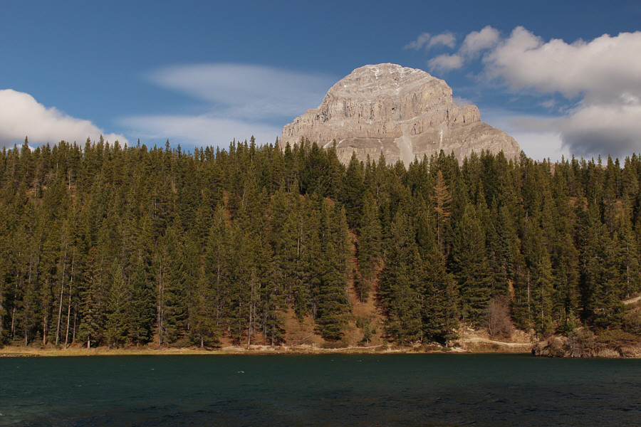
Strong winds blow across
Chinook Lake. At left is
Mount Tecumseh.
|
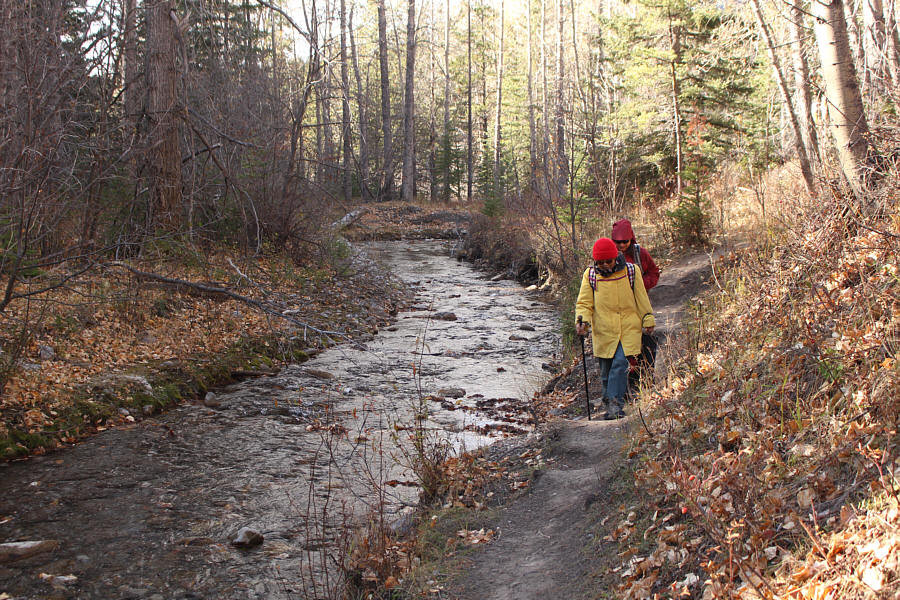
Grace and Zosia walk along the west bank of Allison Creek. |
|
This eroded section of trail is relatively easy to traverse. |
|
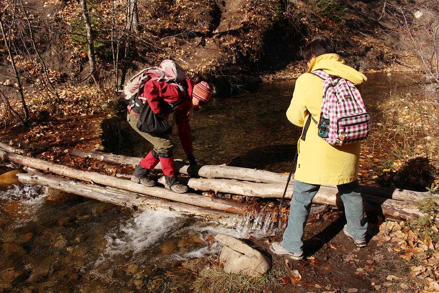
Hoping to avoid another eroded section of trail, Zosia carefully crosses
to the east bank of Allison Creek on some slippery logs. |
|
Unable to get closer to the waterfalls along the east bank, Sonny leads
Grace back across the logs to the west bank.
Photo courtesy of Zosia Zgolak |
|
Grace waits while Zosia scrambles up a crumbling embankment in order to
continue upstream. |
|
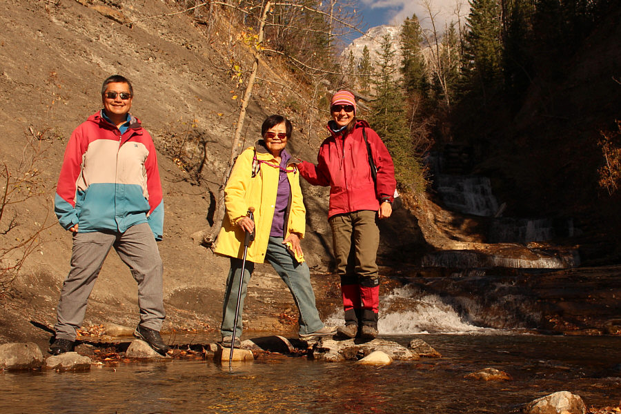
Sonny, Grace and Zosia arrive at Allison Creek Falls which is mostly
hidden in shadow to the right. |
|
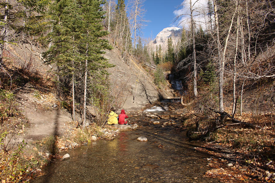
Grace and Zosia stop to eat lunch near Allison Creek Falls. In the
background is
Crowsnest Mountain. |
|
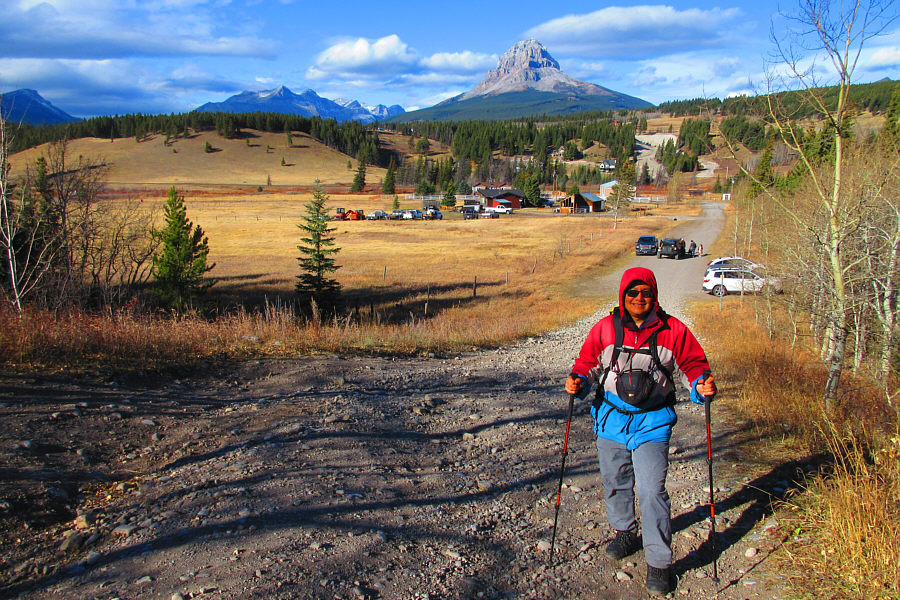
Crowsnest Mountain rises above the trees around Chinook Lake. |
For our next stop, we attempted to hike to the base of Star
Creek Falls just outside the town of Coleman. Zosia and I had
previously seen this waterfall from above during our hike of
Star Creek Hill, and I thought that reaching the bottom would be
fairly straightforward. Unfortunately, getting by a gorge that
guards the base of the waterfall requires hands-on scrambling which I
deemed to be too challenging for my mother, and we promptly abandoned our
attempt.
|
Sonny begins hiking to Star Creek Falls.
Photo courtesy of Zosia Zgolak |
|
The approach to Star Creek falls is
initially easy. |
|
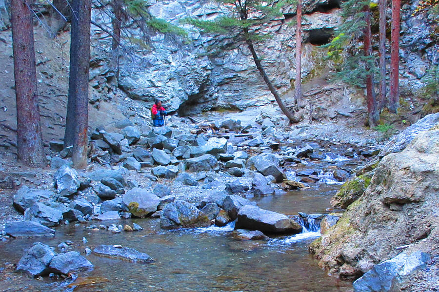
Sonny investigates the feasibility of continuing further into a gorge
guarding the base of Star Creek Falls. Deeming the gorge too
challenging for his mother, Sonny would ultimately turn around here. Photo courtesy
of Zosia Zgolak |
We next drove to Flumerfelt Park (access from 76 Street in
Coleman) and hiked the easy Miner's Trail to Rainbow Falls. This
popular trail starts at the north end of the park and climbs gently along
the east bank of Nez Perce Creek for a little more than a kilometre
before reaching the modest waterfall. After all the "excitement" of
the previous stops, this short and stress-free walk was more to my
mother's liking. While it is possible to extend this hike to
explore some old mining sites, we opted to simply visit the waterfall and
turn around.
|
Zosia and Grace hike up Miner's Trail en route to Rainbow Falls. |
|
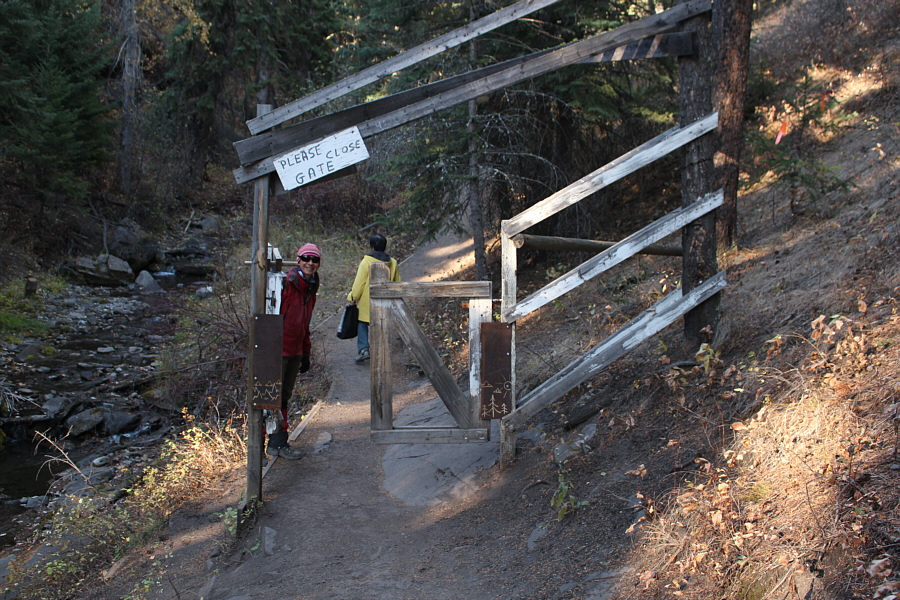
Zosia and Grace pass through a curious gate along the trail. |
|
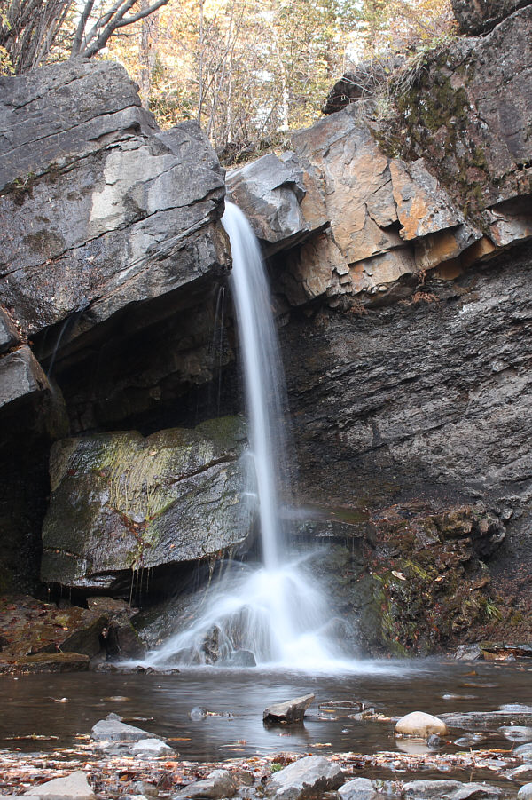
Zosia, Grace and Sonny reach Rainbow Falls which appears smaller here
because of the odd perspective. |
|
Rainbow Falls is about four to five metres high. |
|
The "Biggest Piggy Bank in the World" is apparently located in Flumerfelt
Park. The park is named after the founder of the town of Coleman. |
Our last stop of the day was at Lundbreck Falls east of
Crowsnest Pass. In retrospect, we probably should have come here
first thing in the morning since the lighting is best at that time for
viewing this spectacular waterfall. A brisk wind made it too
uncomfortable to linger, and we only stayed long enough to snap a few
token photographs before heading home.
|
Afternoon lighting is not ideal for photographing Lundbreck Falls. Photo courtesy
of Zosia Zgolak |