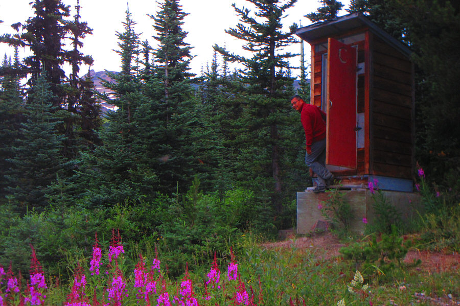
Sonny carefully exits the outhouse near the start of the hike.
Photo courtesy of Zosia Zgolak

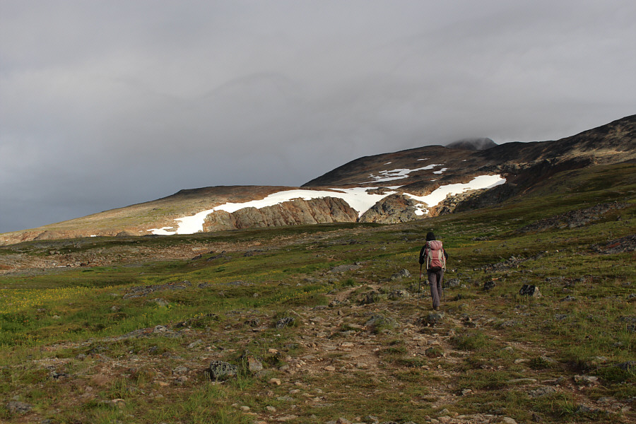
Hudson Bay Mountain comes into view further up the trail.


|
|
Sonny carefully exits the outhouse near the start of the hike. Photo courtesy of Zosia Zgolak |
|
|
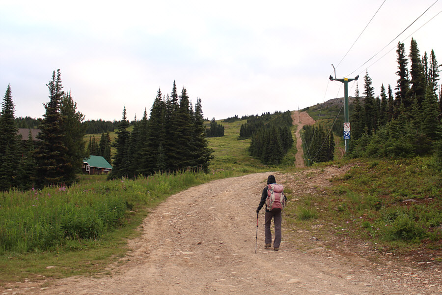
Zosia begins hiking along the lift line but will soon head left on a good trail. |
|
|
Hudson Bay Mountain comes into view further up the trail. |
|
|
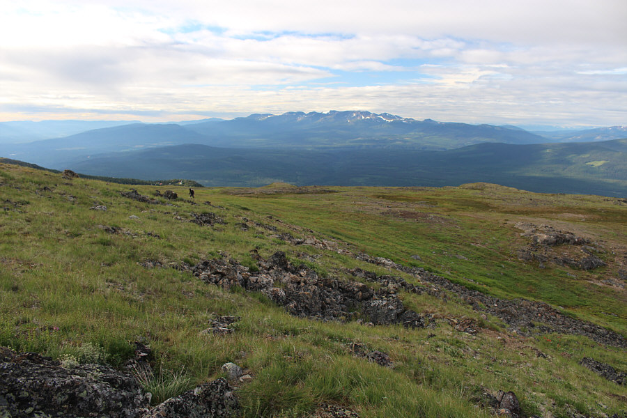
Mist begins to obscure the top of the mountain, but the lower cliffs are still bathed in morning sunlight. |
|
|
Zosia arrives at a bench overlooking Crater Lake. |
|
|
The vast sub-alpine meadow here invites further wandering. |
|
|
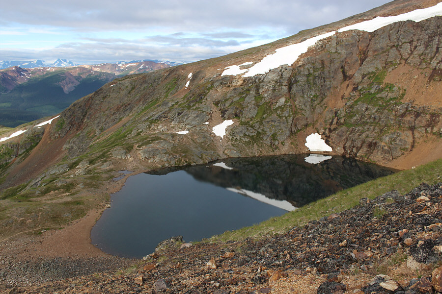
Here is a view of Crater Lake from the trail which continues up the mountain. |
|
|
Zosia continues to grind uphill along the trail. |
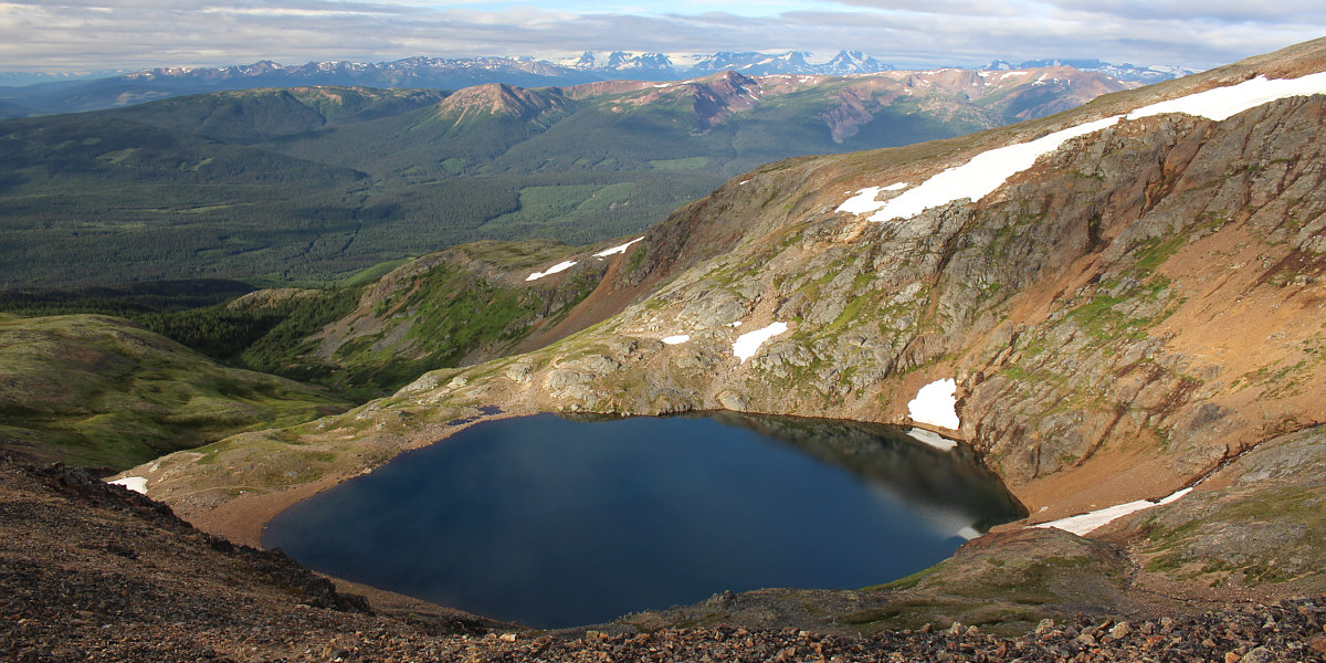
Here is a more comprehensive aerial view of Crater Lake.
 |
Zosia gains the crest of the ridge leading to the south peak. |
 |
A good beaten path runs up the crest of the ridge, and there are also plenty of cairns to help point the way. |
 |
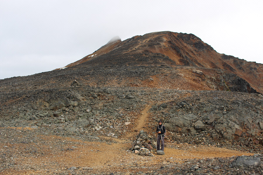
The red hues in the rock along the ridge make it appear as if Zosia is hiking on Mars. |
 |
Here is a look back down the ridge to the vast sub-alpine meadow. |
 |
The Glacier Gulch trail ends at the toe (far right) of this glacier on the east side of Hudson Bay Mountain. |
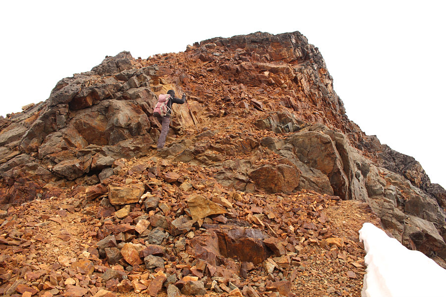 |
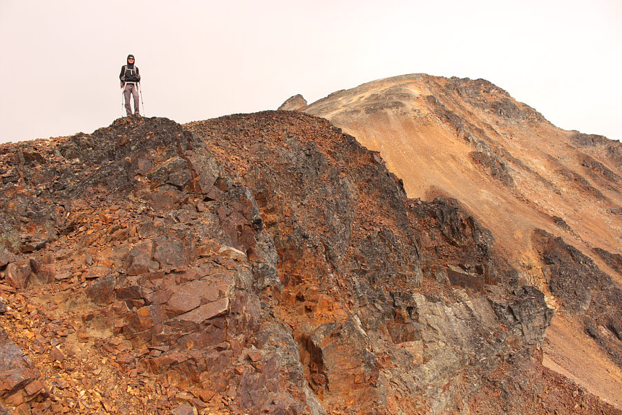
The ridge gets steeper as Zosia climbs higher. |
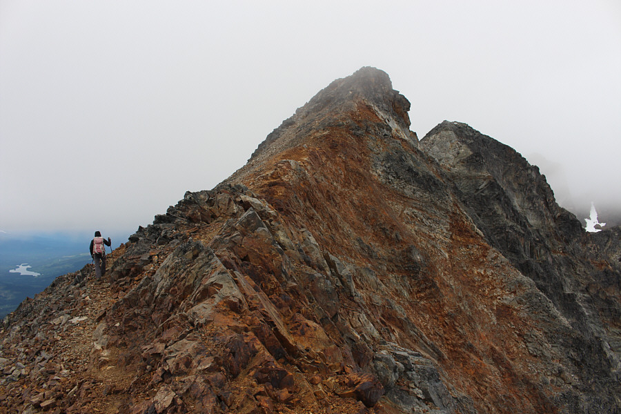 |
The ridge narrows near the top of the south peak. |
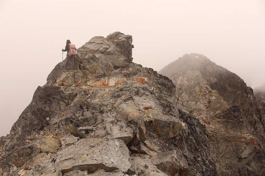 |
The last few metres before the south summit are mildly exposed. |
 |
Sonny and Zosia reach the south peak of Hudson Bay Mountain (2535 metres). |
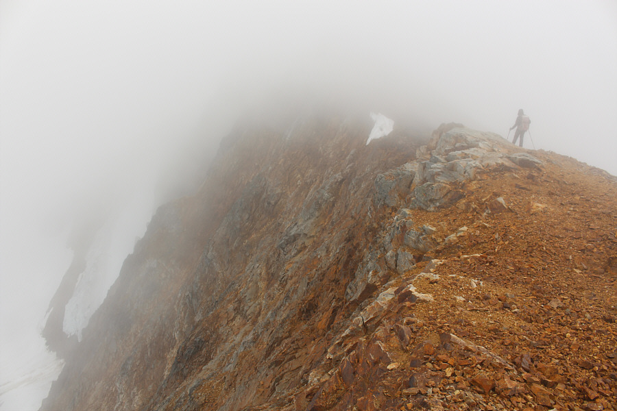 |
Zosia descends the ridge with limited visibility. |
 |
Visibility improves as Zosia descends further down the mountain. |
 |
Monkshood is one of the many wildflowers blooming in the area. |
 |
Total Distance: 12.5 kilometres Round-Trip Time: 7 hours 34 minutes Net Elevation Gain: 1042 metres |