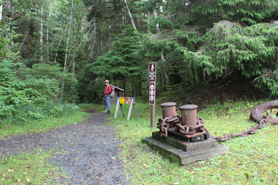
It is unclear if the mooring bollard and anchor at the trailhead once belonged to the Pezuta.
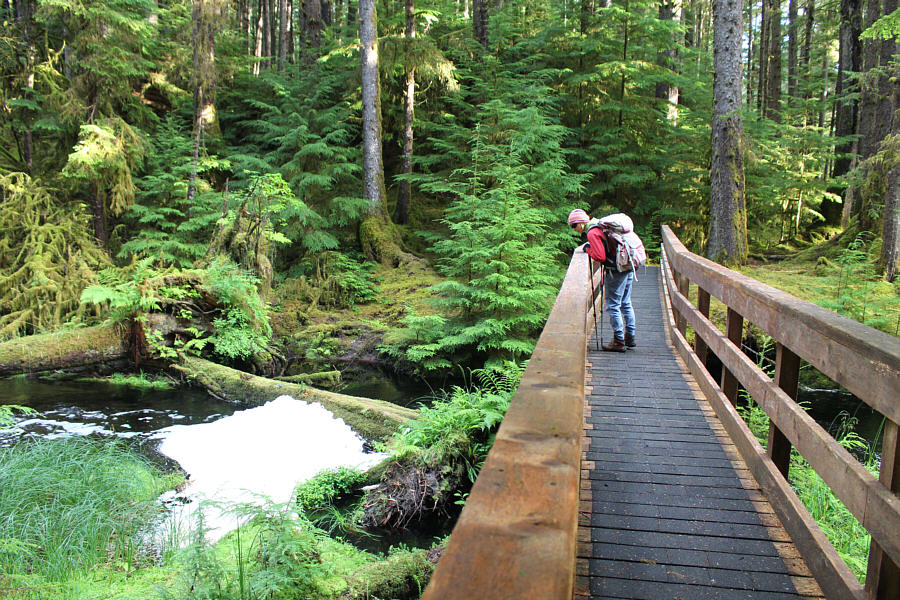
Zosia marvels at the big collection of foam in Geikie Creek.
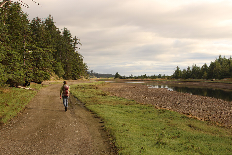
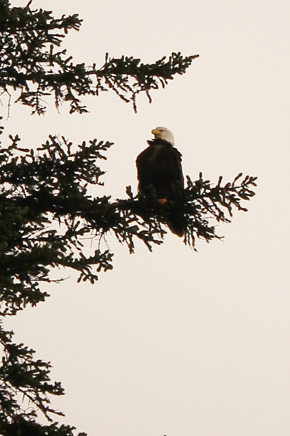
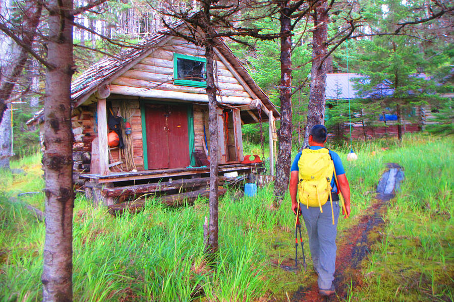
Photo courtesy of Zosia Zgolak
|
|
It is unclear if the mooring bollard and anchor at the trailhead once belonged to the Pezuta. |
|
|
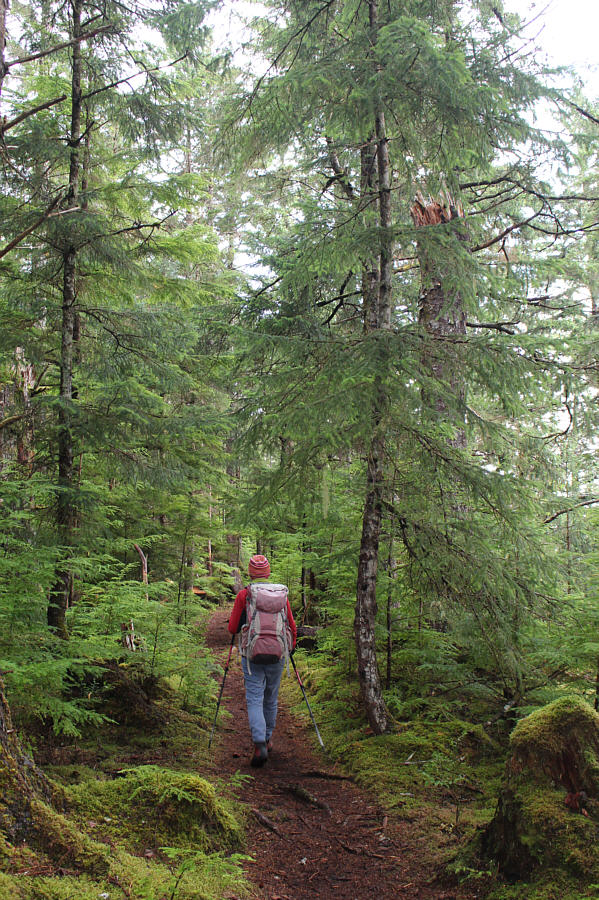
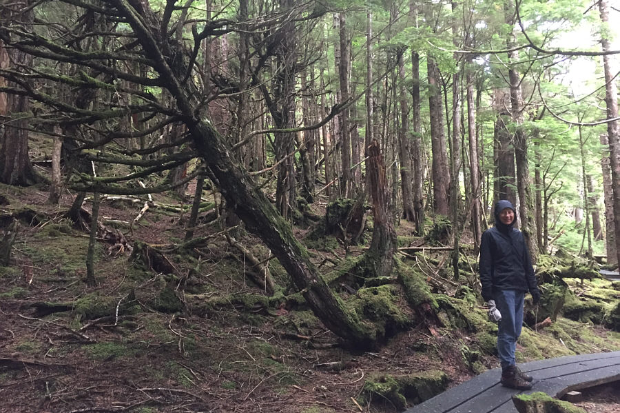
The first half of the hike is mostly in forest. |
|
|
Zosia marvels at the big collection of foam in Geikie Creek. |
|
|
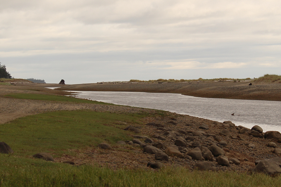
The second half of the hike is mostly along a dirt road running alongside Tlell River. |
|
|
A bald eagle is perched high in a tree above the dirt road. |
|
|
Sonny investigates some mysterious deserted cabins located about halfway
to the shipwreck. Photo courtesy of Zosia Zgolak |
|
|
The shipwreck comes into sight on the horizon as a deer swims across Tlell River. |
|
|
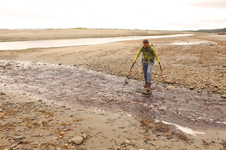
Zosia carefully rock-hops a side creek. |
|
|
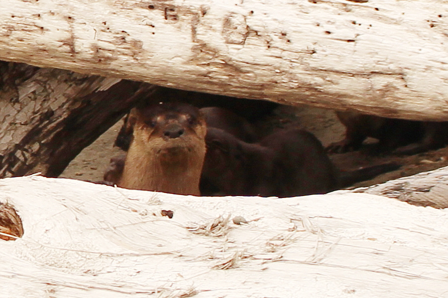
A sea otter sow looks out warily from behind some driftwood while her pups wriggle frantically behind her. |
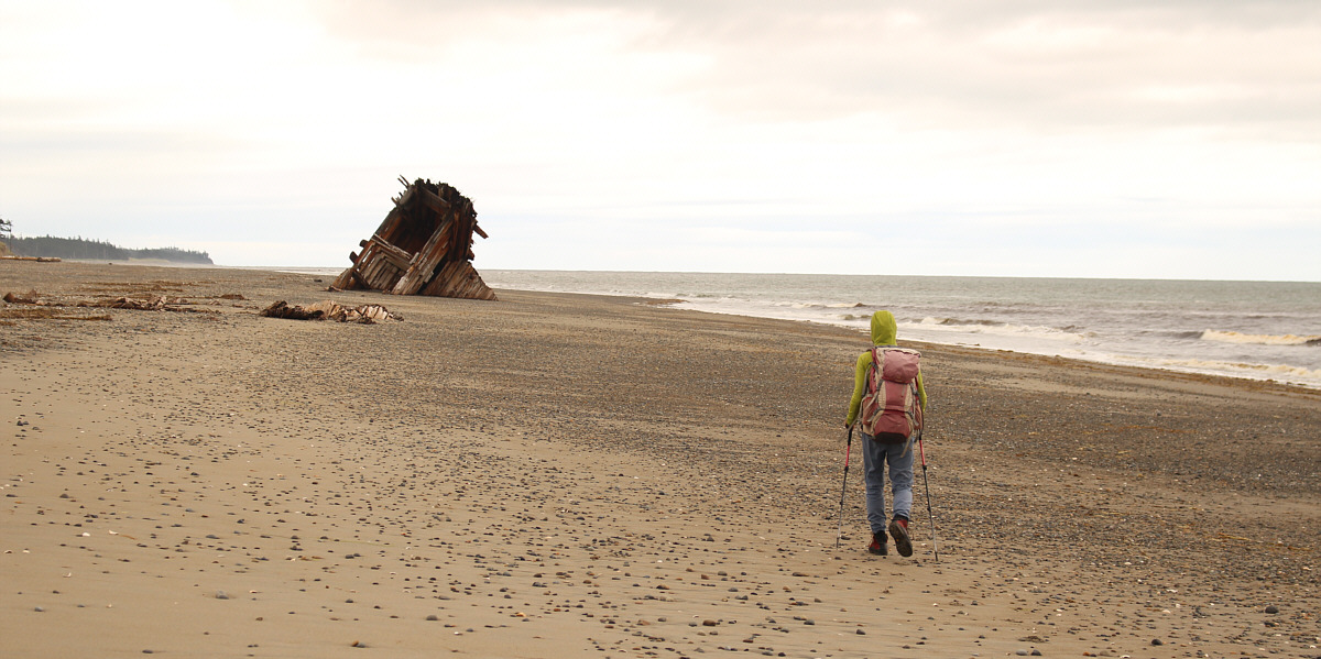
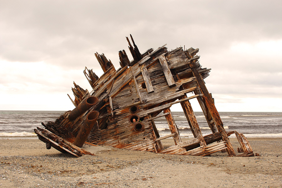
Zosia arrives at the shipwreck site.
 |
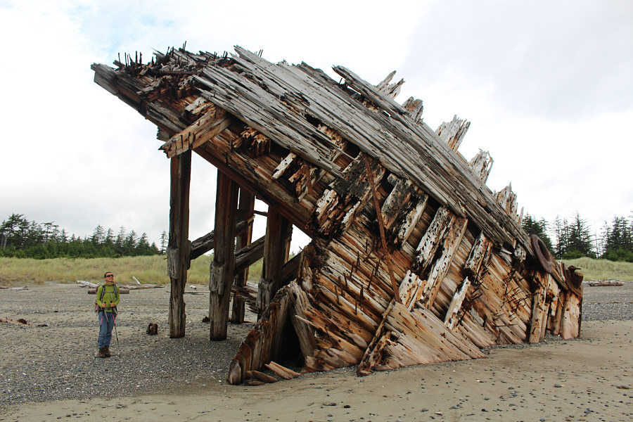
Zosia looks out from inside the bow of the ship. |
 |
Lots of nails are still sticking out of this small section of the Pezuta's hull. |
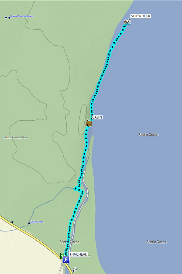 |
Total Distance: 13.2 kilometres Round-Trip Time: 4 hours 32 minutes Net Elevation Gain: -9 metres |
 |
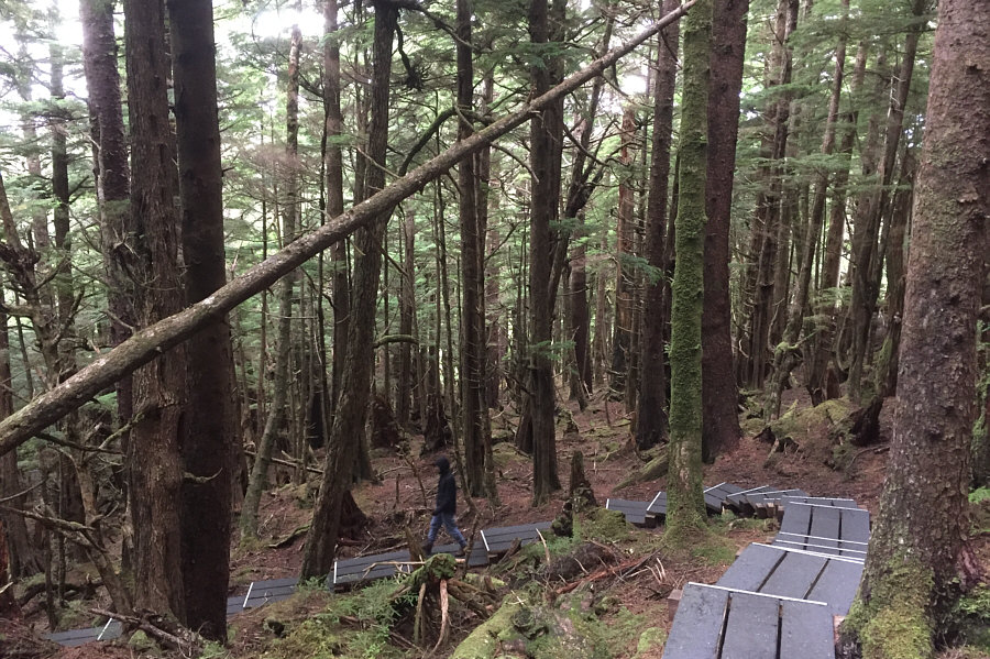
A convenient boardwalk makes ascending Tow Hill easy. |
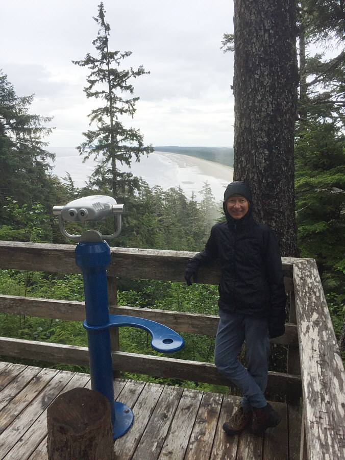 |
Zosia checks out the view of North Beach from the lower of two viewing platforms on Tow Hill. |
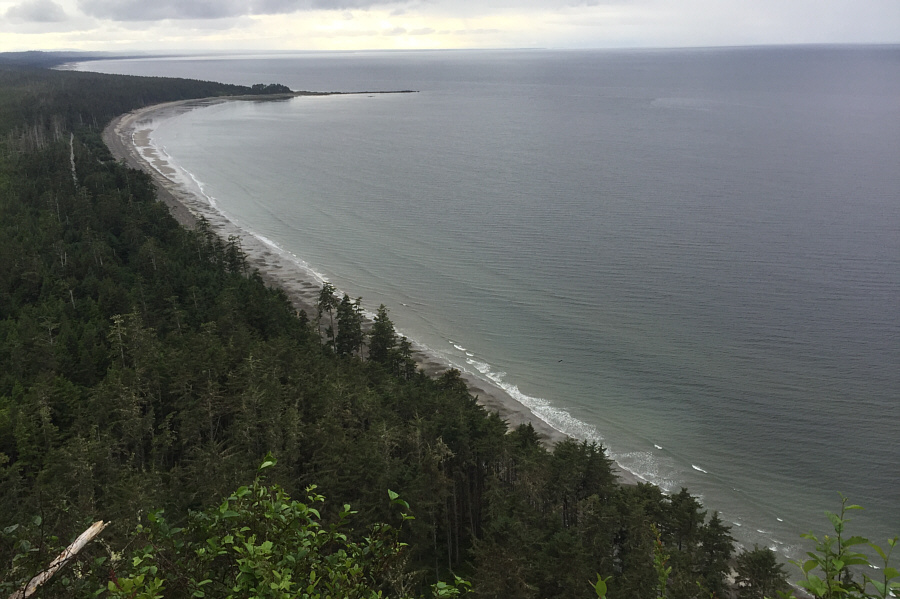 |
Here is a view of Yakan Point and Agate Beach from the upper viewing platform. |
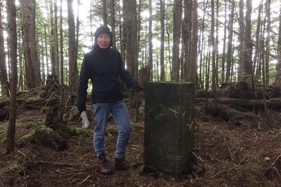 |
Zosia seems spooked by this mysterious monolith on the summit of Tow Hill (127 metres). |
 |
Zosia descends Tow Hill. |
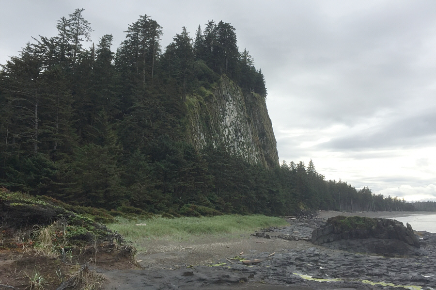 |
Tow Hill has a surprisingly impressive north face. |
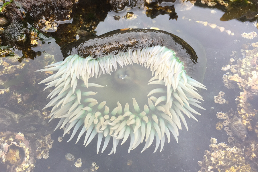 |
The tidal pools near Tow Hill are teeming with sea anemones. |
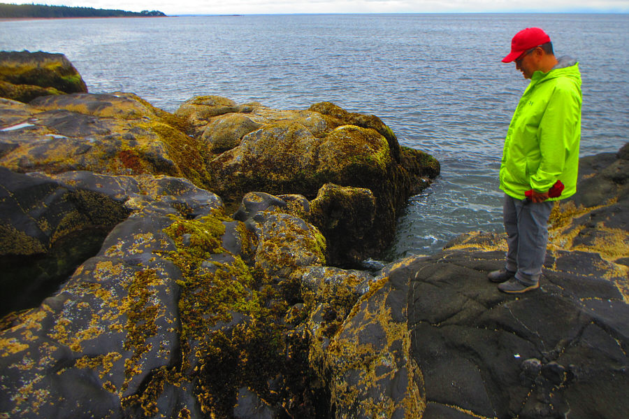 |
During low tide, Sonny waits in vain for something to happen at the Blow Hole. Photo courtesy of Zosia Zgolak |