BOU AVENUE
Pika Cave
With heavy snowfall in the weather forecast for 18 April 2021, Zosia Zgolak and I probably should have stayed home, but instead, we ventured out to the Canyon Creek area west of Bragg Creek, Alberta to check out a rather obscure landmark known as Pika Cave.  I only recently became aware of this cave by chance while perusing my phone's map application, but it is apparently well-known to geocachers and some rock climbers.  Pika Cave is located not far from the more famous Canyon Creek Ice Cave which I had visited on many occasions in the distant past when it was still possible for the general public to drive up Canyon Creek Road.  Now with the access road closed to public motorized traffic, it is necessary to walk or bike the approach.

From the junction with Highway 22 south of Bragg Creek, drive west along Highway 66 for 16 kilometres and turn right onto Canyon Creek Road.  Drive north for about 650 metres to reach the trailhead parking lot with vault toilet.  The road continues beyond a locked gate near the north end of the parking lot.

Had the weather been nicer, Zosia and I likely would have biked Canyon Creek Road, but knowing that there would be significant snowfall throughout the day, we opted to keep things simple and just walk the approach.  Starting from the locked gate, we followed Canyon Creek Road for approximately 4.2 kilometres as it initially runs northward before bending to the west.  Along the way, we passed several natural gas installations as well as some impressive canyon walls.  As per the route marked in my phone's map application, we left the road at about the 4.2-kilometre mark and basically thrashed our way up a steep, forested slope.  There are no trails or markers here, but fortunately, the bushwhacking was fairly light.  As we climbed higher, we could see some significant cliff bands above us, and we quickly realized that this was not going to be an easy walk in the park!

Zosia and I circumvented the first cliff band to climber's left where it peters out.  We then traversed to climber's right until we found a suitable weakness in a second cliff band.  Normally, this would be a fairly easy scramble, but with fresh snow covering all the rocks, we had to be extra careful with our footing.  We had a couple more short cliff bands to go through, and one particular rock step was a bit troublesome due to the slipperiness of the down-sloping rock and a general lack of handholds (there is a tree to grab onto here, but it is not reliably anchored).  When we reached roughly 1800 metres in elevation, we traversed eastward (climber's right) for about 200 metres occasionally hugging the base of another cliff band or crossing snow-covered talus slopes.  The entrance to the cave is partially hidden and a bit tricky to reach.  We went a little further east to circumvent some deadfall, and then we climbed up to the base of some large cliffs before traversing back westward to the entrance.

Pika Cave is actually less of a cave and more of a large hollow in the cliff face with a couple of smaller chambers set in the back walls.  Regardless, Zosia and I were happy with the shelter it provided us from the heavy snowfall outside, and from the abundance of droppings everywhere, Pika Cave is evidently a safe haven for many animals (we only saw a single bird on this day).  After spending about half an hour in the cave, we ventured back outside and stopped briefly to check out a nearby geocache.  For our return trip, we carefully retraced our footprints in the snow in order to safely descend every cliff band we surmounted.  I had one short involuntary slide at the aforementioned troublesome rock step, but fortunately, I was not injured.  Otherwise, we had no other problems making our way down all the cliff bands and the subsequent steep, forested slope.  Upon regaining Canyon Creek Road, we easily trudged back to the trailhead through 5-10 centimetres of freshly-fallen snow.
I remember being able to drive up this road once...

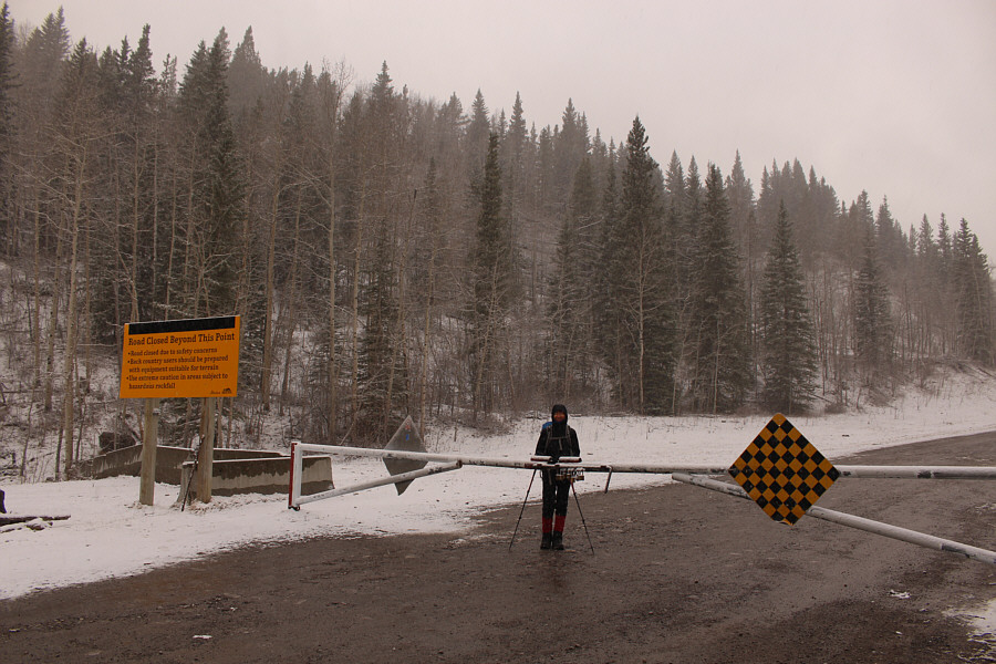
Zosia begins the trip from a locked gate across Canyon Creek Road.

Zosia, did you bring eggs for lunch again?

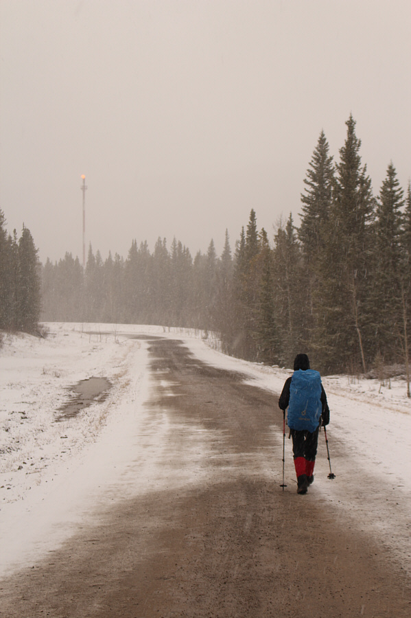
The flare stack in the distance belongs to a natural gas processing facility along the road.

And somehow we need to climb above these walls...

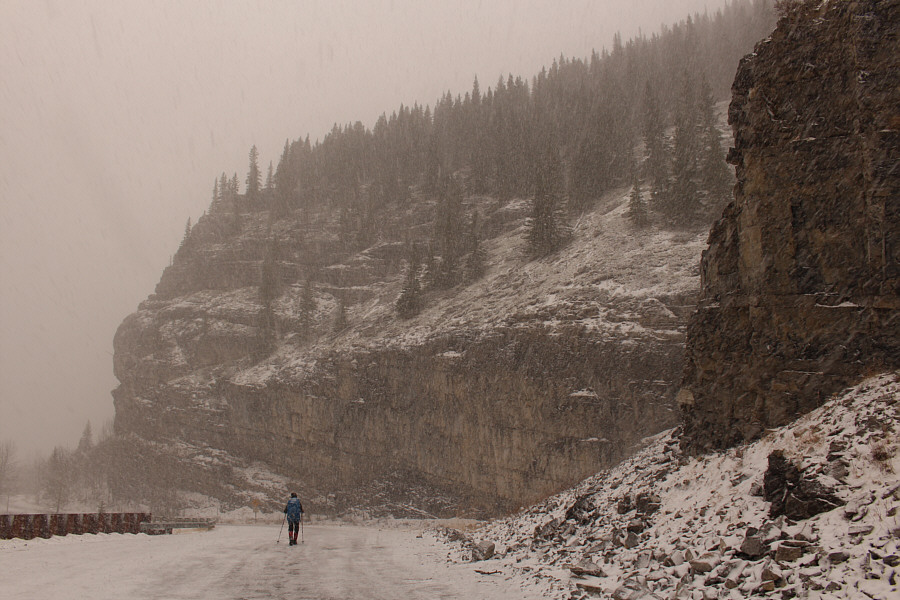
True to its name, Canyon Creek is flanked by some impressive canyon walls.

Off-trail hiking while it's snowing...how much more fun can it get?

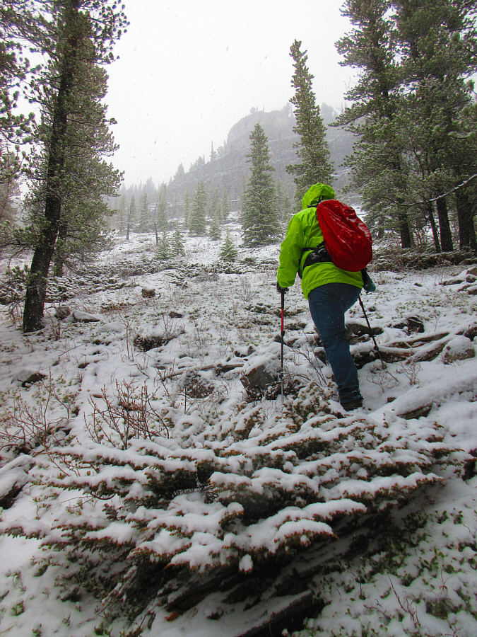
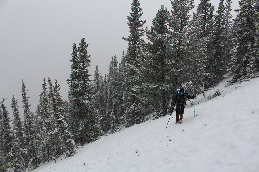
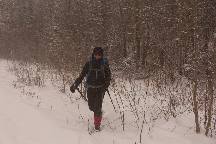
After leaving the road, Sonny grinds his way up a steep slope.

Photo courtesy of Zosia Zgolak

The route-finding can be challenging!

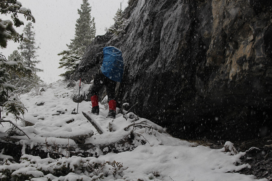
Zosia skirts along the base of the first significant cliff band above the road.

Yeesh, what the heck are we doing here on a day like this??

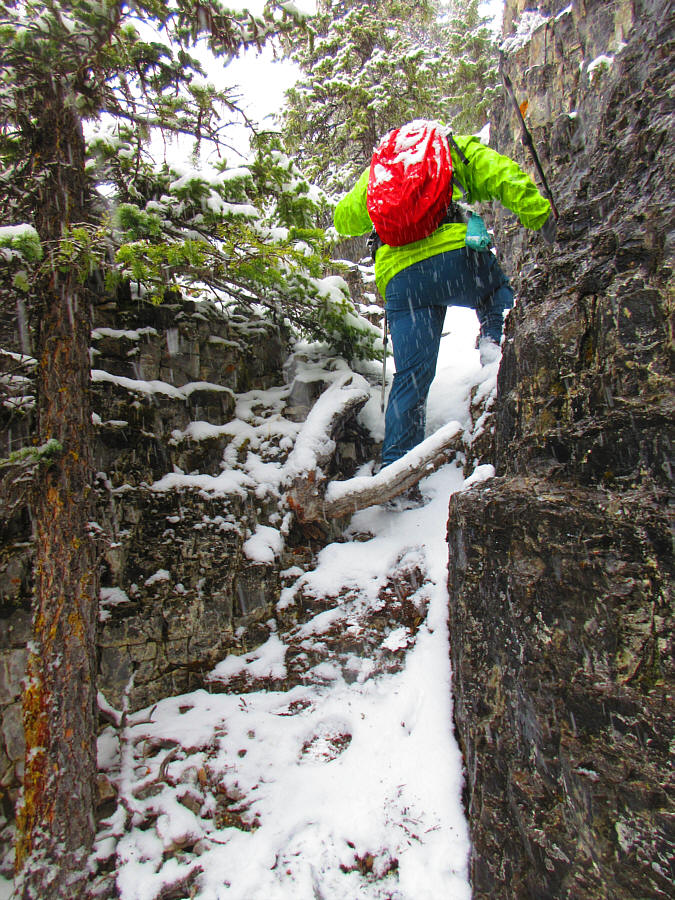
Sonny scrambles up a weakness in another cliff band.

Photo courtesy of Zosia Zgolak

Not a family-friendly hike!

Zosia carefully traverses a snow-covered talus slope which is looser than it looks.

Wow, I can't believe we made it!

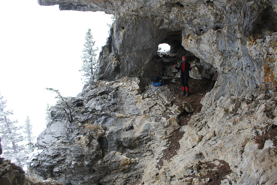
Zosia arrives at Pika Cave.

This should really be called Pika Poop Cave! 
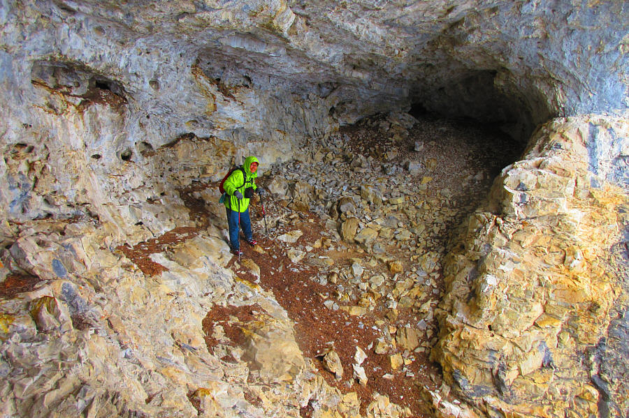
Here is a view of the other side of the cave.

Photo courtesy of Zosia Zgolak

Our wet gear ain't gonna dry out that much though! 
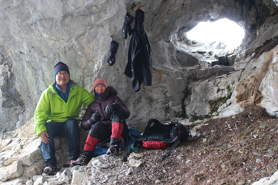
Sonny and Zosia are able to relax a bit in the cave which provides adequate shelter from the snowfall outside.
The juniper branches made it painful to crawl around in here!

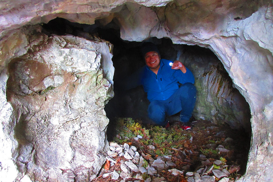
Sonny explores a smaller chamber in the cave.  The floor of this chamber is covered with juniper branches presumably placed there by some animal.

Photo courtesy of Zosia Zgolak

Might take awhile before this becomes the next Carlsbad Caverns!

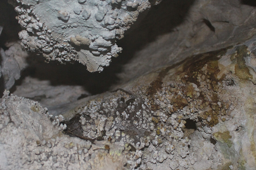
The tiny beginnings of stalactites and stalagmites can be seen inside the smaller chamber.

We almost completely forgot about this!

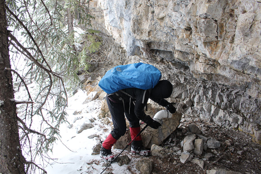
Zosia stops to check out a geocache located just outside Pika Cave.

I left two pieces of fruit-filled hard candy.

Here are the contents of the geocache.  The register was last signed in October 2020.

It's best to have a GPS track to avoid getting cliffed out! Sonny carefully retraces his tracks while descending from Pika Cave.

Photo courtesy of Zosia Zgolak

We survived! 
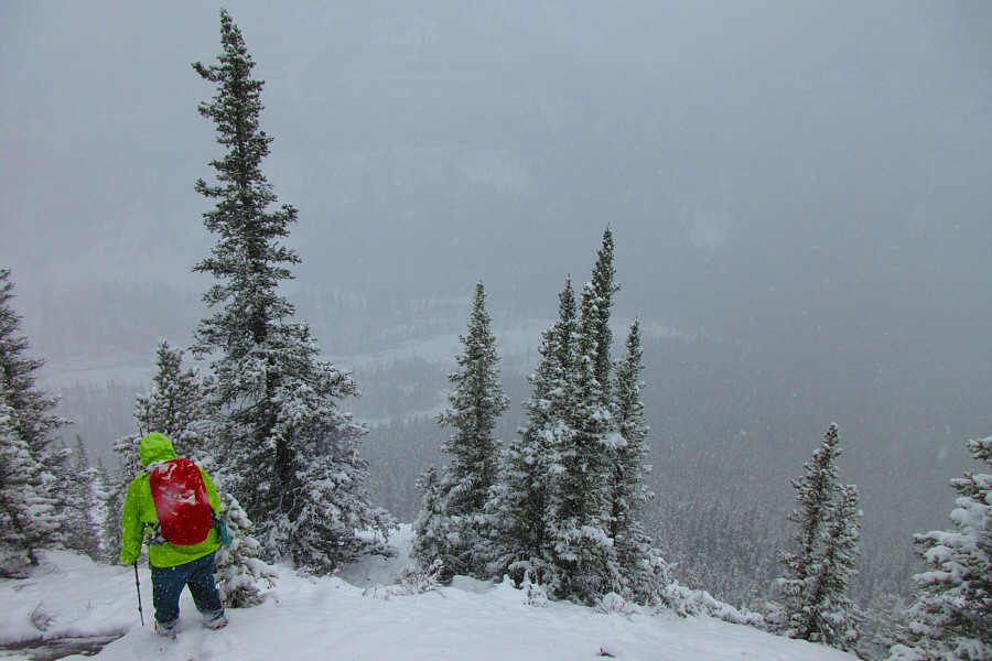
Zosia is relieved to emerge from the forest and regain the access road.
R.I.P. Larry! 
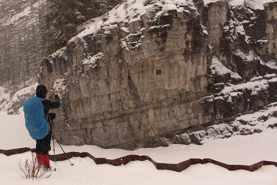
The plaque on the cliff face commemorates Larry Ostrander, a rock climber who pioneered many technical climbing routes in the area.  Ostrander died in a climbing accident near here in 1993.
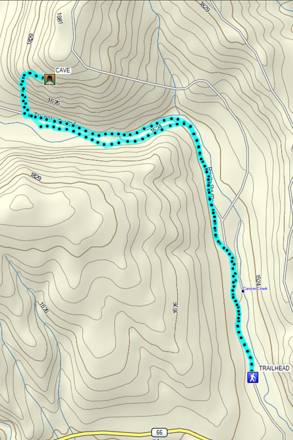
A challenging hike and scramble to an obscure but interesting cave. Total Distance:  11.7 kilometres
Round-Trip Time:  5 hours 17 minutes
Net Elevation Gain:  362 metres

GPX Data