
Ali and Zosia point at Two O'Clock Ridge from its namesake campground,
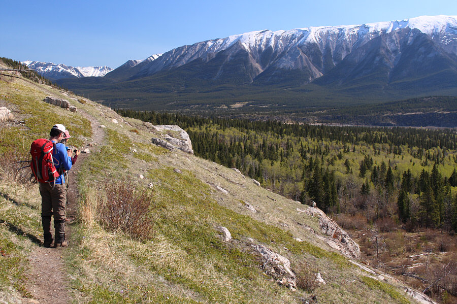
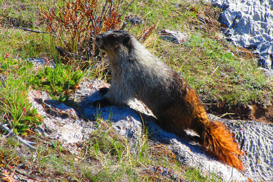
Photo courtesy of Zosia Zgolak

Photo courtesy of Zosia Zgolak

|
|
Ali and Zosia point at Two O'Clock Ridge from its namesake campground, |
|
|
On an open escarpment, something catches the eyes of Ali and Zosia. |
|
|
A hoary marmot seems genuinely curious
about hikers strolling by atop the escarpment. Photo courtesy of Zosia Zgolak |
|
|
This sheep on the ridge is alerted to
the presence of hikers coming up the trail. Photo courtesy of Zosia Zgolak |
|
|
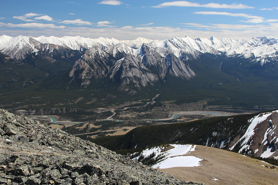
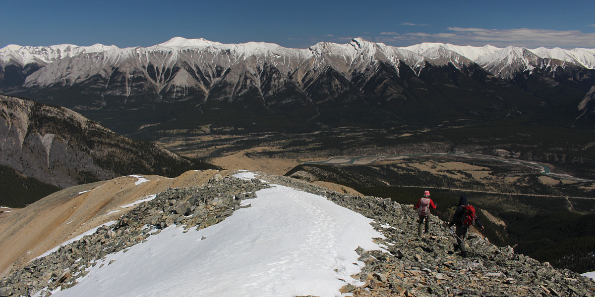
This open section grants a view of the upper part of Two O'Clock Ridge. |
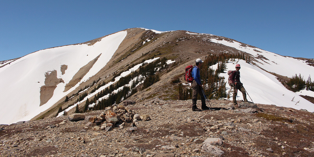
From this point, there is about another 250 metres of elevation gain left.
 |
Despite the presence of snow patches on the ridge, the remaining hike to the high point is straightforward. |
 |
Notable peaks to the south include Siffleur Mountain (centre), Mount Loudon (right), and Mount Peskett (dark triangle immediately right of Mount Loudon). The ridge in the foreground is unofficially known as Tuff Puff. |
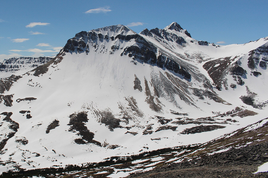 |
The high point of unofficially-named Whirlpool Ridge sits to the southwest. |
 |
To the west are the unofficially-named summits of Two O'Clock Peak (left of centre) and Landslide Peak (right). Visible through the gap between the two are Whitegoat Peaks. |
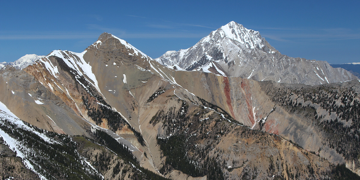
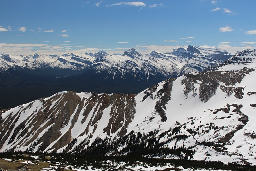
The best view of the day is to the north of Elliott Peak (right) and some colourful bands of rock on the intervening ridge.
 |
Though a bit hard to discern from this angle, the five peaks of Ex Coelis Mountain are all visible at centre to the southeast. |
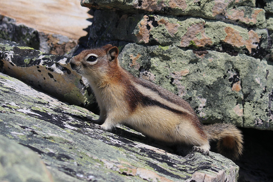 |
This golden-mantled ground squirrel lives among the rocks near the high point of Two O'Clock Ridge. |
 |
Ali, Zosia and Sonny stand on the high point of Two O'Clock Ridge (2503 metres). |
Zosia and Ali descend Two O'Clock Ridge. On the horizon right of centre is Mount William Booth.
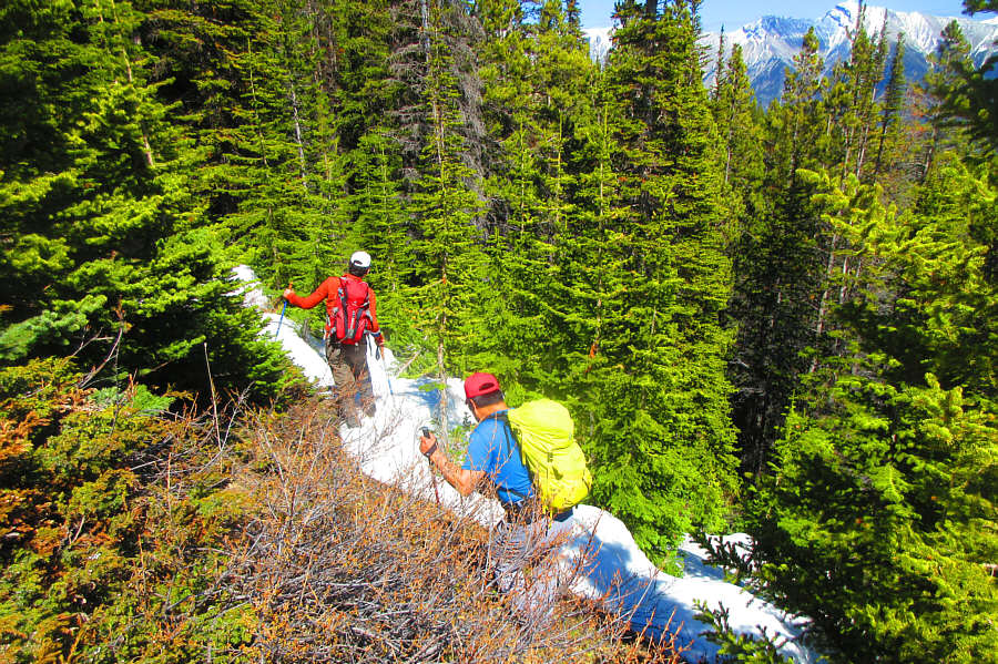 |
After taking a wrong turn while
descending the ridge, Ali and Sonny have to endure a bit of a thrash
to get back on track. Photo courtesy of Zosia Zgolak |
 |
Total
Distance: 12.4 kilometres Round-Trip Time: 7 hours 36 minutes Net Elevation Gain: 1166 metres |