BOU AVENUE
Black Butte Lookout
With an unsettled weather forecast on 4 July
2022, Zosia Zgolak and I opted to do a short, non-committing hike up
Black Butte located in Kootenai National Forest just west of Eureka,
Montana. An active fire lookout tower and various
telecommunications infrastructure sit atop Black Butte, and consequently,
a well-maintained service road runs all the way to the top albeit in a
rather circuitous way.
From Highway 93 near the south end of Eureka, turn southwest onto Tobacco Road and
drive 1.0 kilometre to the junction with Othorp Lake Road. Drive
8.0 kilometres and veer right onto Pinkham Creek Road. Drive
another 1.7 kilometres before turning right onto forestry road 7185 (2WD
gravel). A sign here states that the lookout is open daily from 9
AM to 6 PM but is closed on Wednesdays and Thursdays. Drive 2.2
kilometres and park in a pullout just before a locked gate.
Starting from the locked gate, Zosia and I
simply walked up the service road all the way to the top. The road
makes a couple of seemingly long-winded spirals before ending at the base
of the lookout tower. A picnic table, trash can, and convenient
vault toilet are nearby, and there is even free Wi-Fi available here.
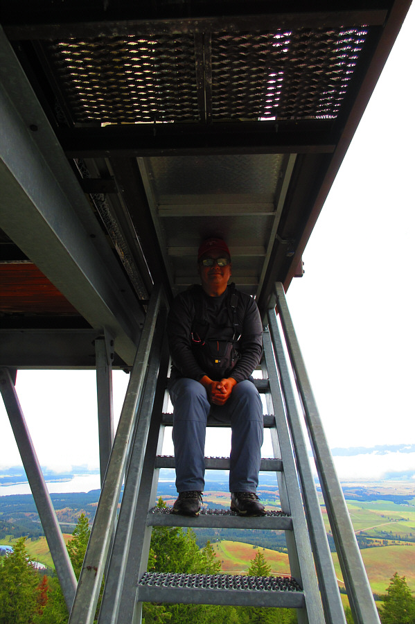
The lookout tower was not manned on this day, and we could only climb as
far as the last set of stairs under the tower balcony.
After poking around the top for nearly an
hour, Zosia and I took a more direct descent route down the west side of
Black Butte. This shaved off a fair bit of distance, and we made it
back to the locked gate in only half the time it took us to walk up the
service road. We subsequently drove back to Highway 93 using a
different route (MT 37) and then returned to Canada through the border
crossing at Roosville.
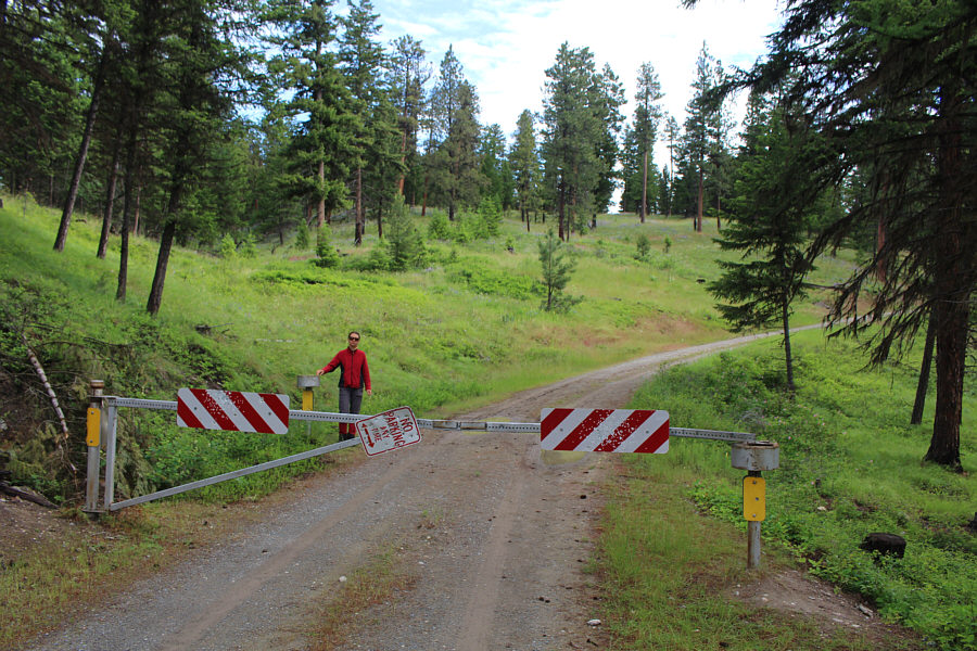 |
A locked gate prevents further access up the service road with public
motorized vehicles. |
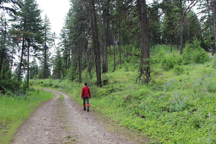 |
The walk up the service road is easy and pleasant. |
 |
A yellow salsify blooms alongside the road.
Photo courtesy of Zosia Zgolak |
 |
Zosia climbs up the lookout tower on top of Black Butte (1237 metres). |
 |
The passageway to the top of the lookout tower is unfortunately locked.
Photo courtesy of Zosia Zgolak |
 |
Part of Othorp Lake is visible to the
southeast. |
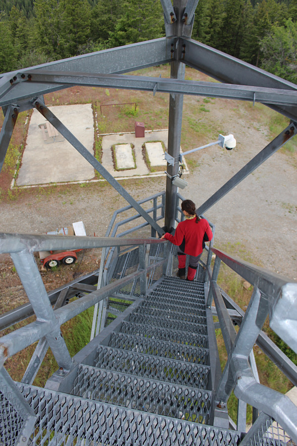 |
Zosia carefully descends the lookout
tower stairs. |

Garnering all the attention to the northwest is Lake
Koocanusa.
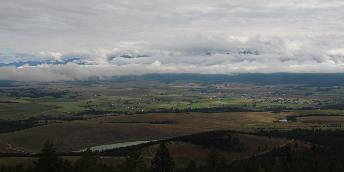
Unfortunately, most of the mountains to the northeast
are obscured by clouds on this day. However, the town of Eureka is
visible at distant right, and part of Black Lake can be seen at lower
left.
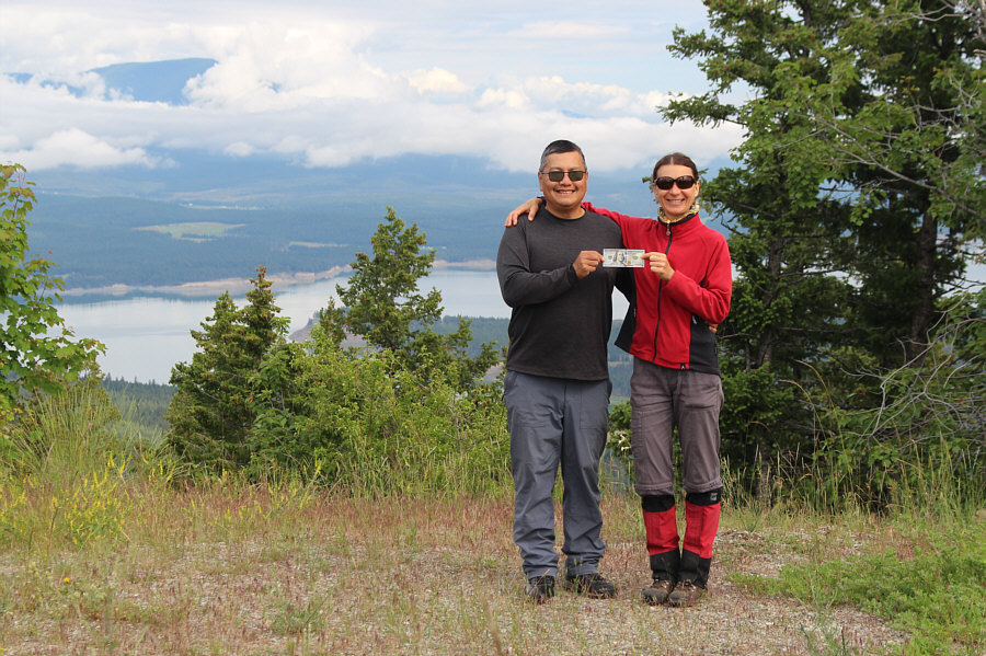 |
Sonny and Zosia celebrate The Fourth of July (US Independence Day) on
top of Black Butte with the closest thing they have to an American
flag. |
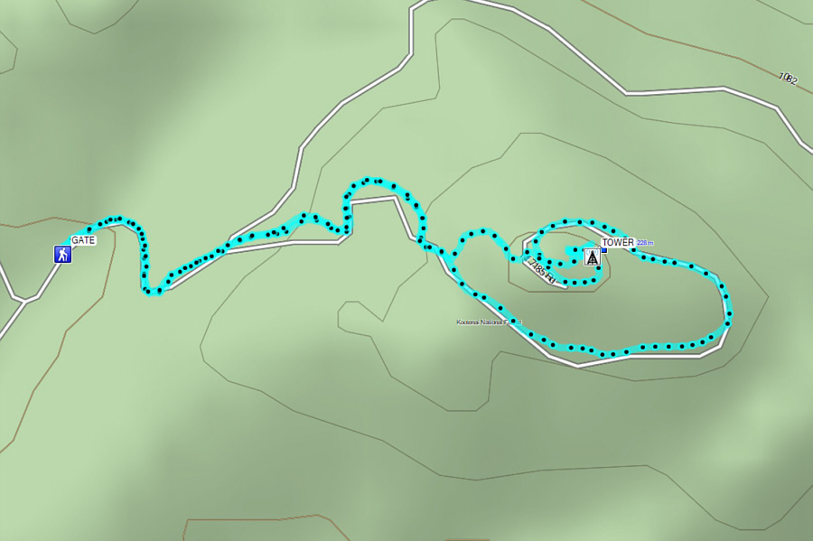 |
Total
Distance: 3.8 kilometres
Round-Trip Time: 1 hour 53 minutes
Net Elevation Gain: 170 metres
GPX Data |