A couple of feral donkeys stand on a section of road that switchbacks above a wash.
Photo courtesy of Zosia Zgolak

BLM markers help point the way toward Clark Mountain.
Photo courtesy of Zosia Zgolak


This is one of many cactus flowers blooming throughout the area.
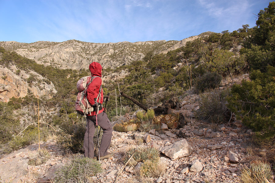

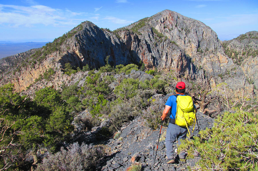
Photo courtesy of Zosia Zgolak

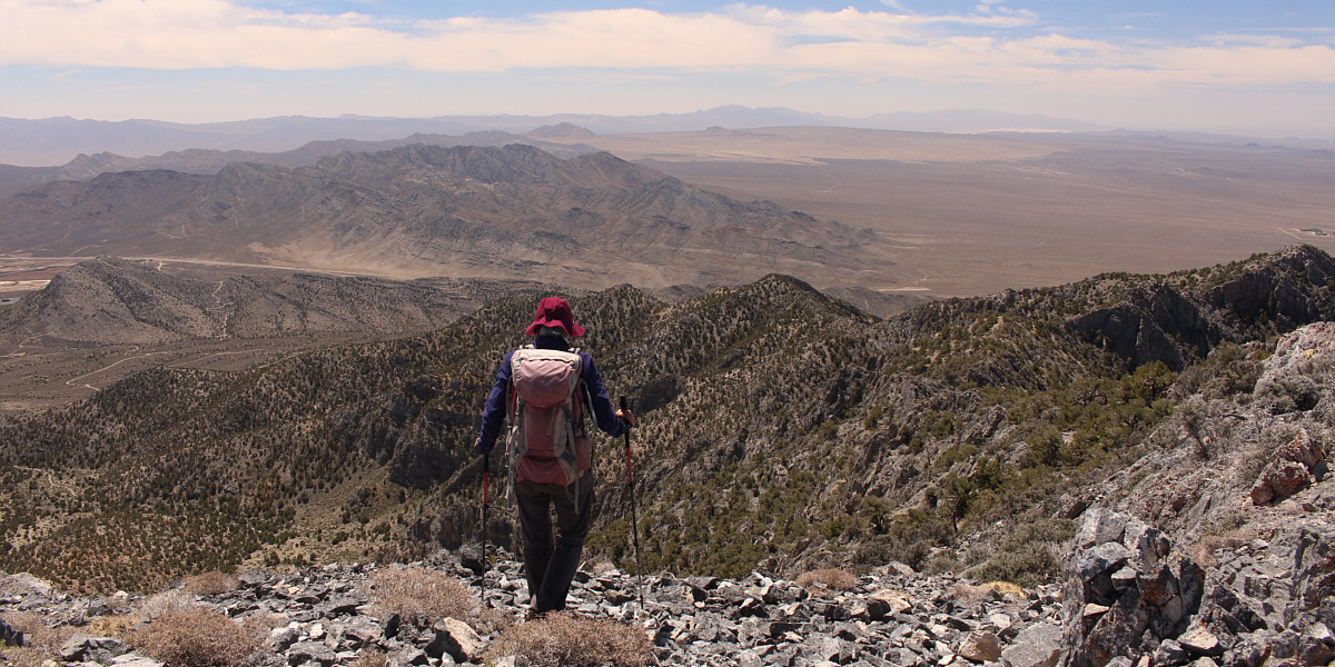
Zosia traverses below the crest of the east ridge to avoid technical terrain.

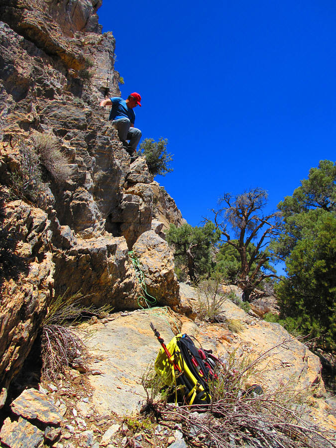
Zosia looks up at the crux--a weakness in the cliff band guarding the upper mountain.
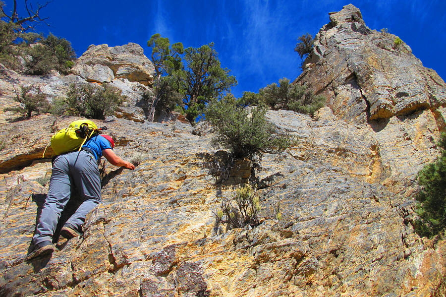
Photo courtesy of Zosia Zgolak
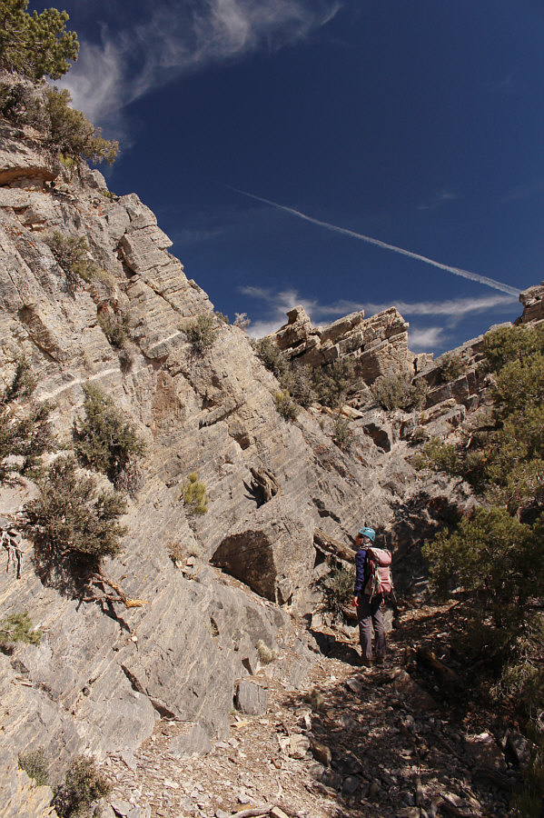
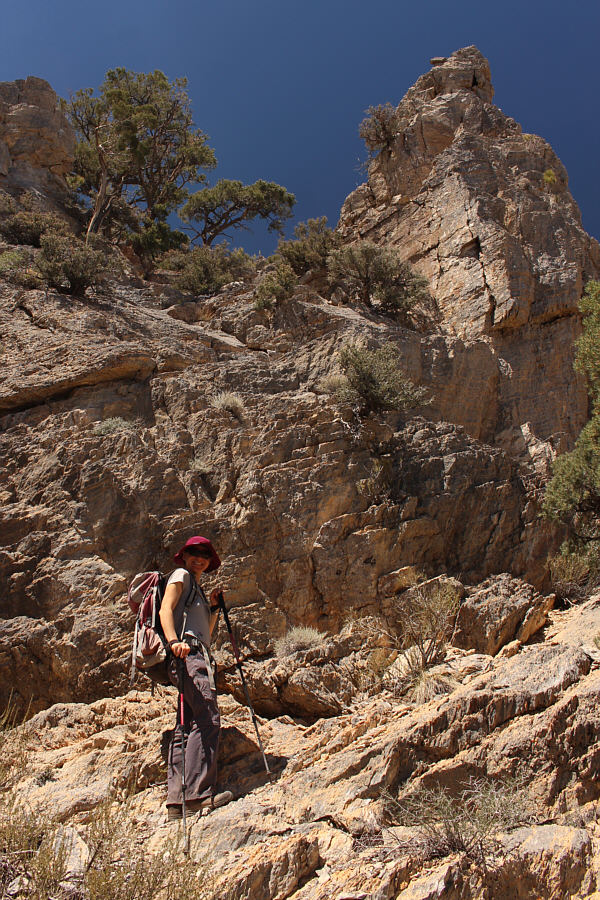
Zosia scrutinizes the next rock band she has to scramble up.
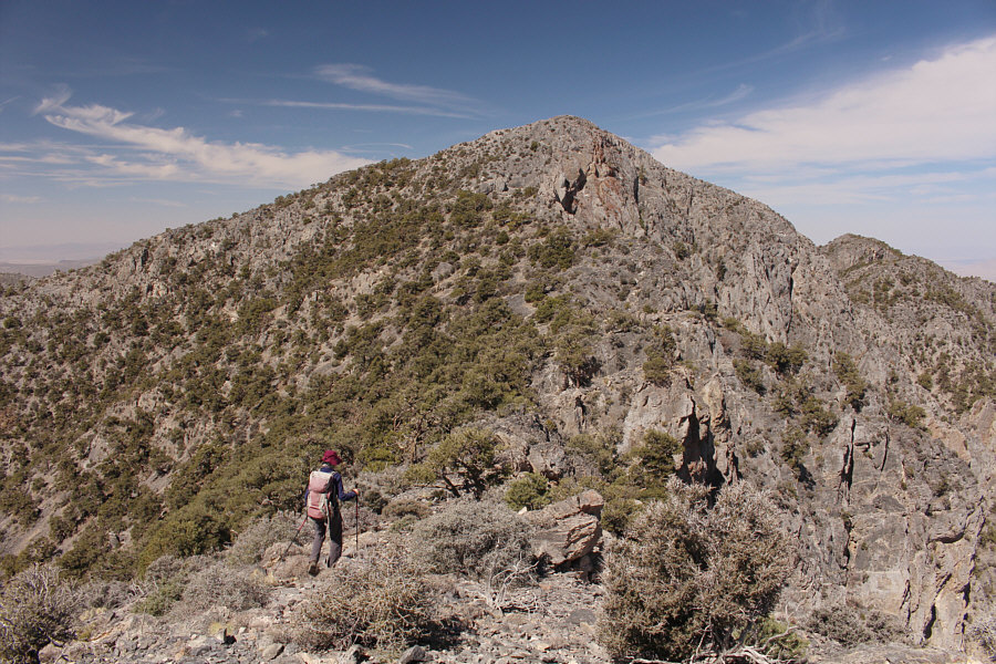
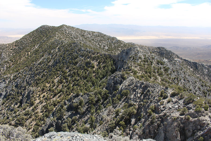
Photo courtesy of Zosia Zgolak