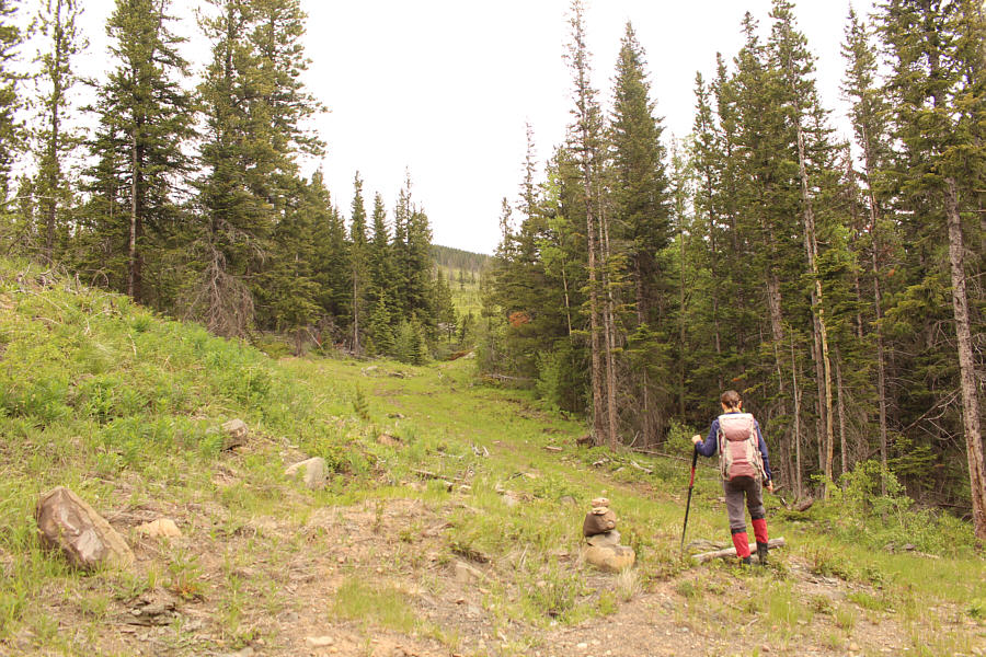
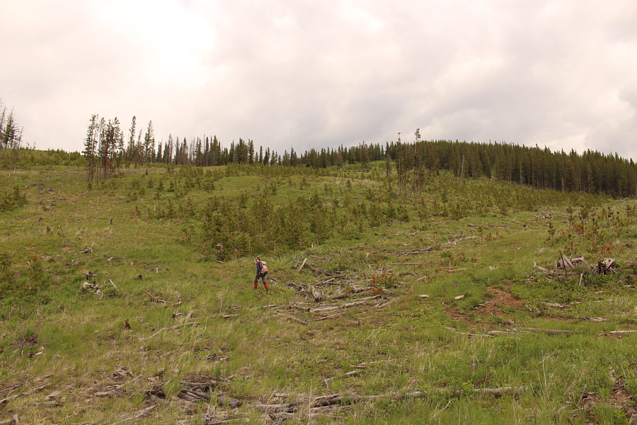
Zosia begins hiking up a reclaimed road.
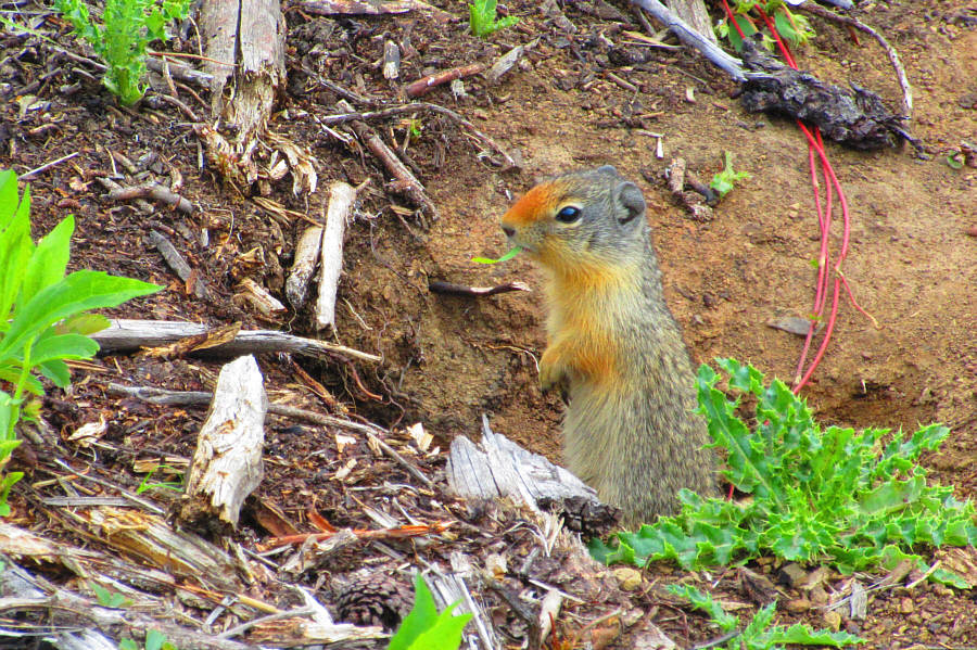
A small Columbian ground squirrel pokes its head out of its burrow.
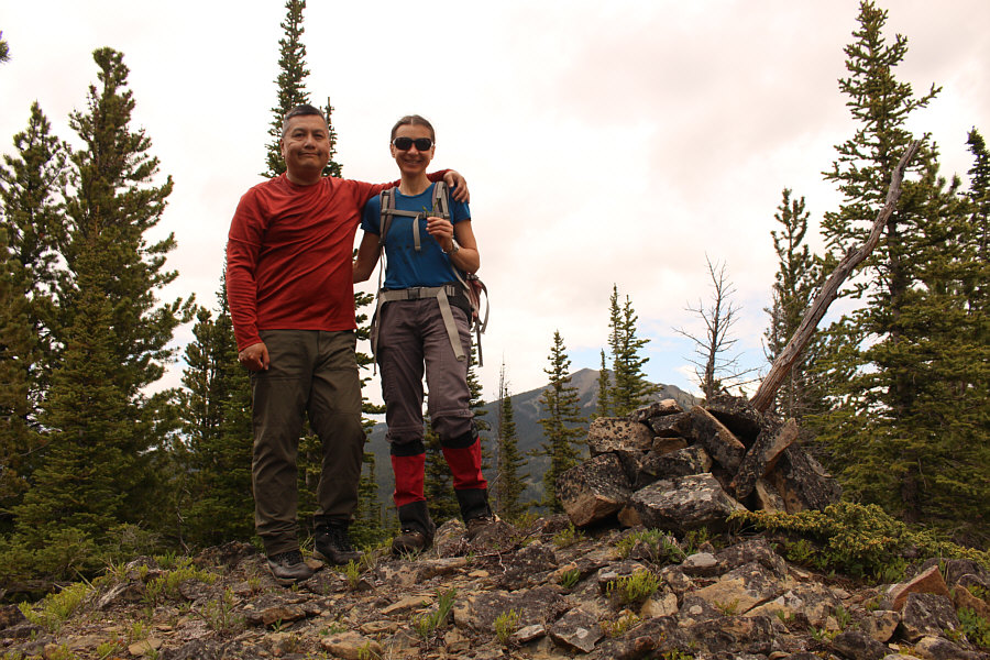
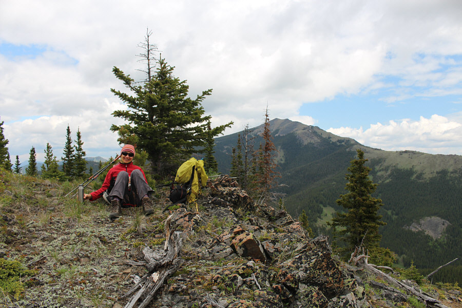
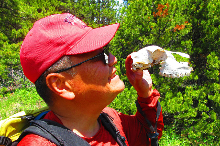
Photo courtesy of Zosia Zgolak
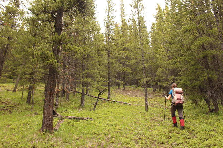
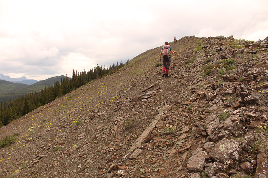
The lower part of the south ridge is lightly forested.
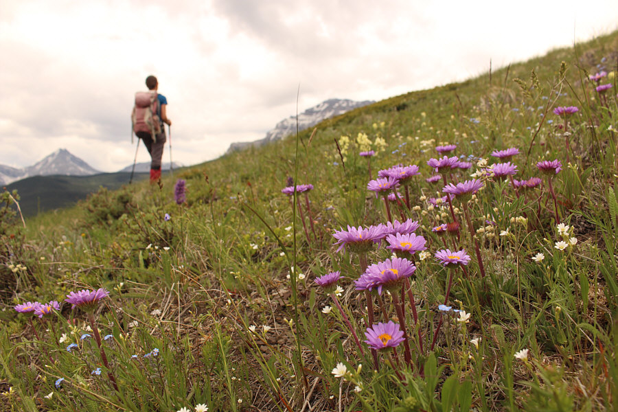
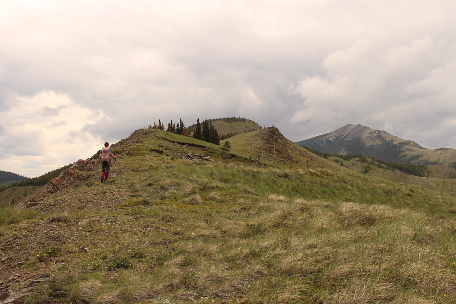
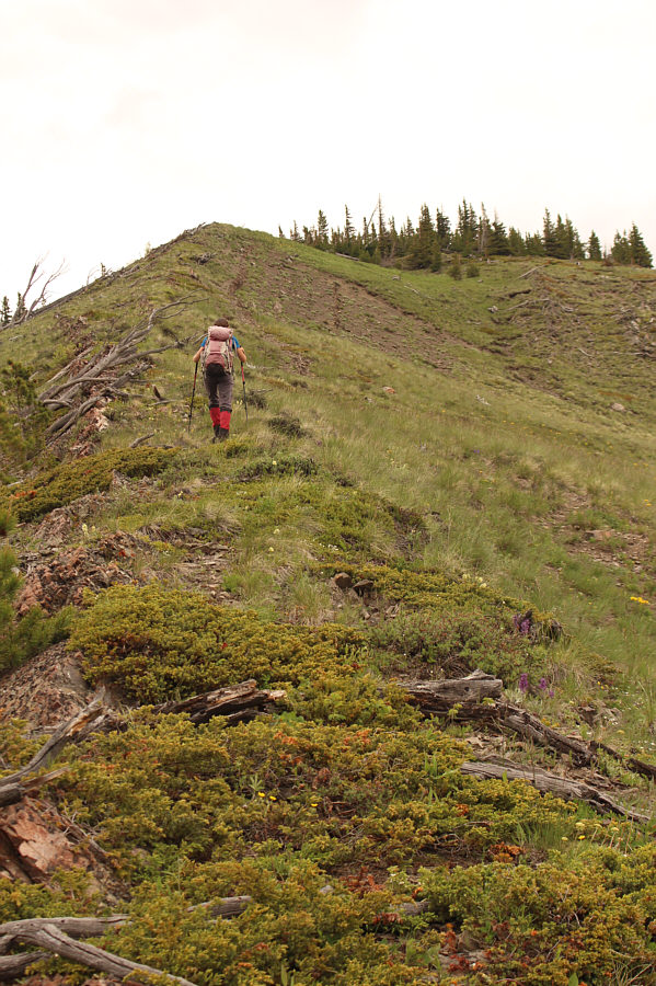
Higher up, the forest gives way to open grassy slopes full of wildflowers such as these fleabane.