BOU AVENUE
McLean Creek Hills
On 19 February 2022, Bob Spirko invited Zosia Zgolak and me to join him for a hike up a low ridge located near McLean Creek in Alberta's McLean Creek Off-Highway Vehicle Public Land Use Zone.  The ridge includes a couple of distinct high points, and Bob has taken the liberty to call them collectively McLean Creek Hills (not to be confused with officially-named McLean Hill which is further east).  Under the right conditions, a bicycle or even skis could be used for the initial approach along a flat access road frequented by all-terrain vehicle (ATV) enthusiasts, but given the short distances for this trip, we opted to keep things simple and just walk.

From Highway 66, turn south onto McLean Creek Road 8.4 kilometres west of the junction with Highway 22.  Drive 1.4 kilometres and keep right at the junction with McLean Creek Trail (closed in winter).  Drive another 1.8 kilometres to reach a loop road which is a staging area for ATVs (vault toilets available).  Park near a locked gate on the far side of the loop.

From the locked gate, Bob, Zosia and I walked along the continuation of the road for about 1.2 kilometres before veering left at a junction with another road heading southeast.  About 850 metres from the junction, we left this second road and headed west through a series of cut blocks to gain the north ridge of our objective.  Despite some snow cover and scrubby terrain, travel was generally easy, and we had few difficulties following the undulating ridge southward.  According to topographical maps of the area, the ridge has two distinct high points.  After hiking over the north high point, we dropped into a dip and crossed an ATV track before ascending the remainder of the ridge to the south high point which is higher.  Because of windy conditions, we stopped at the south high point only long enough to snap some requisite photographs before retreating partway along the ridge to a more sheltered spot for a quick snack break.

For our descent, Bob, Zosia and I returned to the aforementioned ATV track and followed it eastward down the hillside.  One steep section here was dangerously icy and forced us to take a short detour off the ATV track.  Near the bottom of the hillside, we turned left at a four-way junction onto the same road we had abandoned earlier to gain the north ridge.  Other than having to watch out for occasional ATV traffic, we had no issues following this road back to the first junction and subsequently to the locked gate.

Be sure to check out Bob's trip report.
I think Bob loves his car!

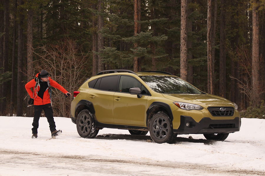
Bob inspects his brand new Subaru Crosstrek before starting the hike.

ATVs somehow are able to get around this gate.

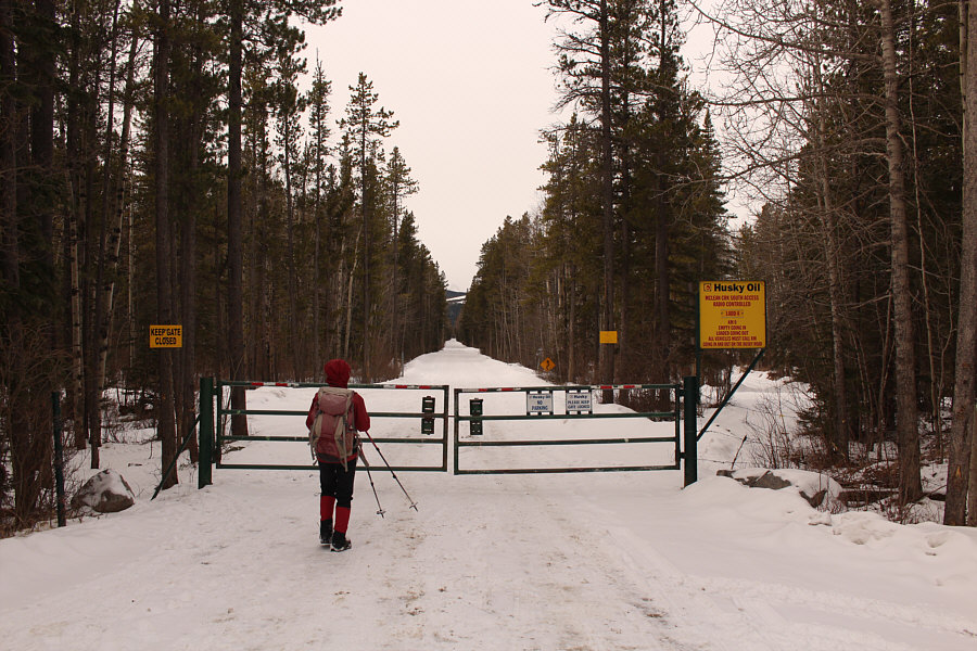
The main access road continues past this locked gate.

I wish I had brought skis! 
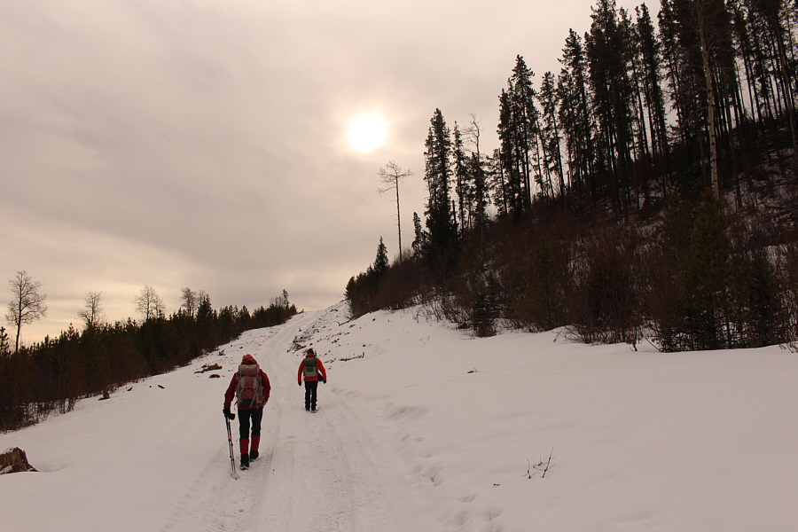
Zosia and Bob start to gain some elevation after turning onto a second road heading southwest.
The area is kinda ugly, but at least the ATVs don't come here! 
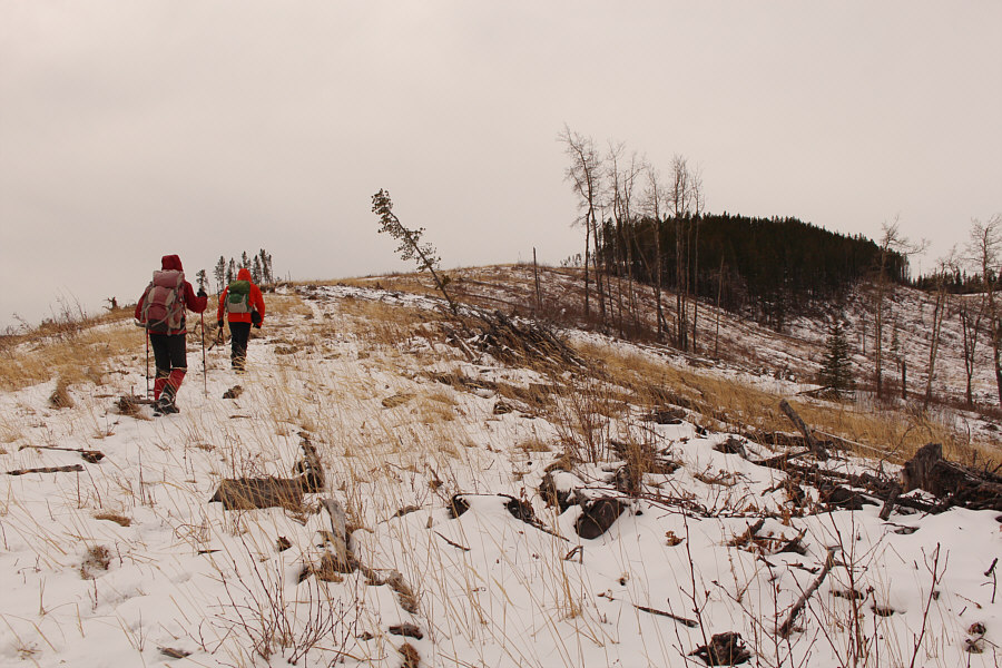
After leaving the second road, Zosia and Bob gain the north ridge of McLean Creek Hills.
And no ATV's in sight! 
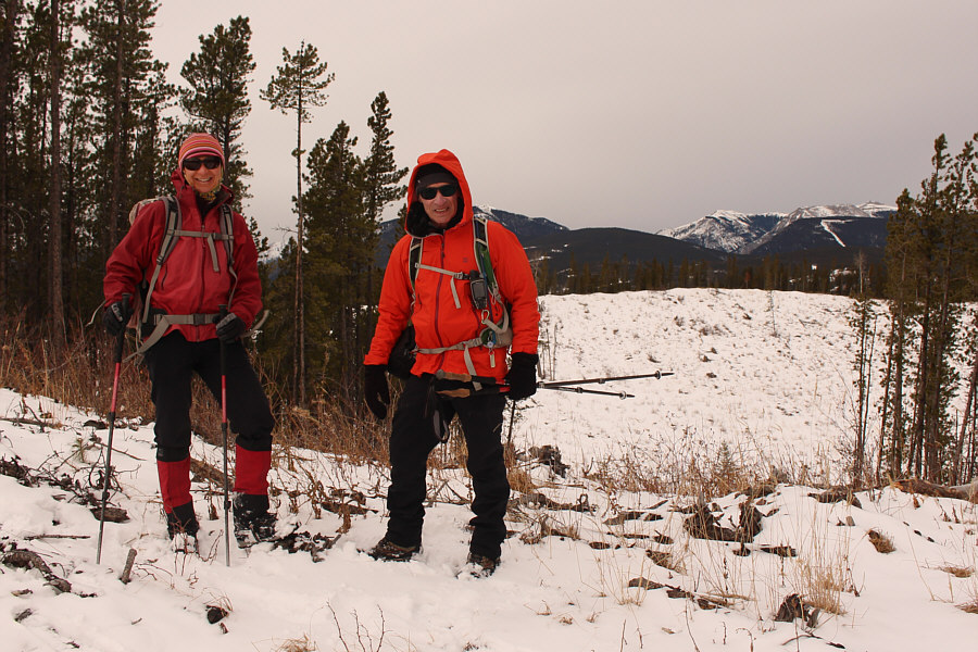
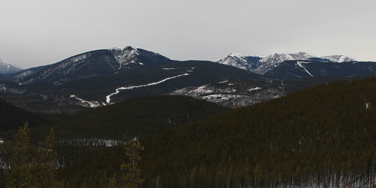
From this spot along the north ridge, there is a view of Moose Mountain at distant far right.
Luckily, the snow wasn't deep, and deadfall was minimal. 
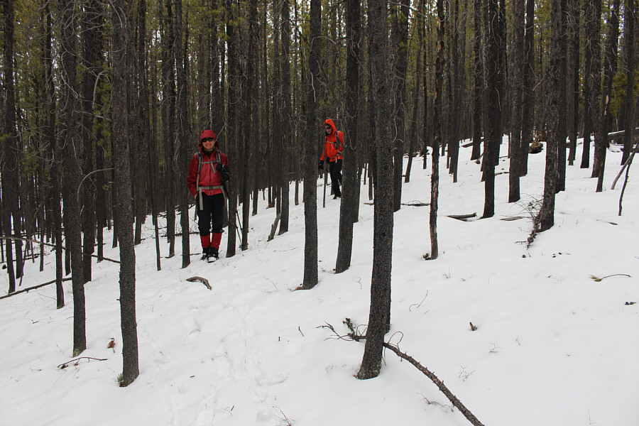
Zosia and Bob descend briefly through a stretch of light forest.
Follow Bob; he knows where he's going! 
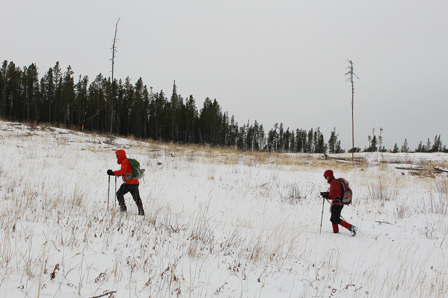
Bob and Zosia make their way across an open slope.
Looks like a potential ski run... 
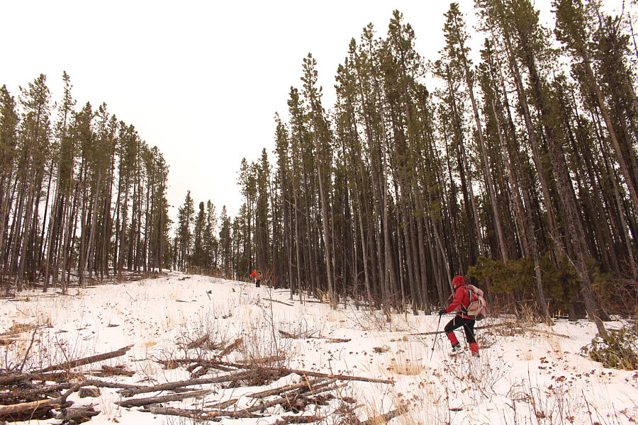
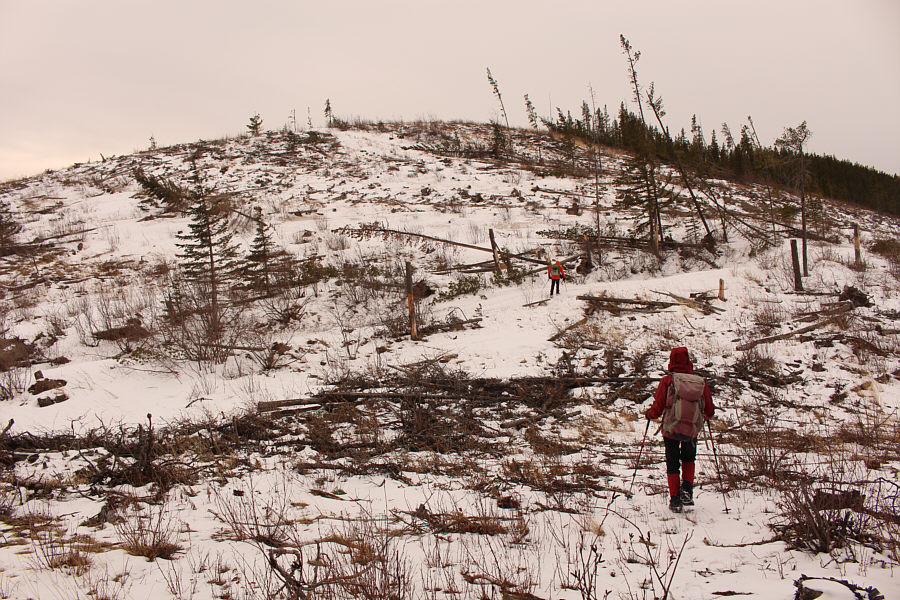
This wide corridor through the trees leads to the north high point.
That was easy, but we're not done yet! 
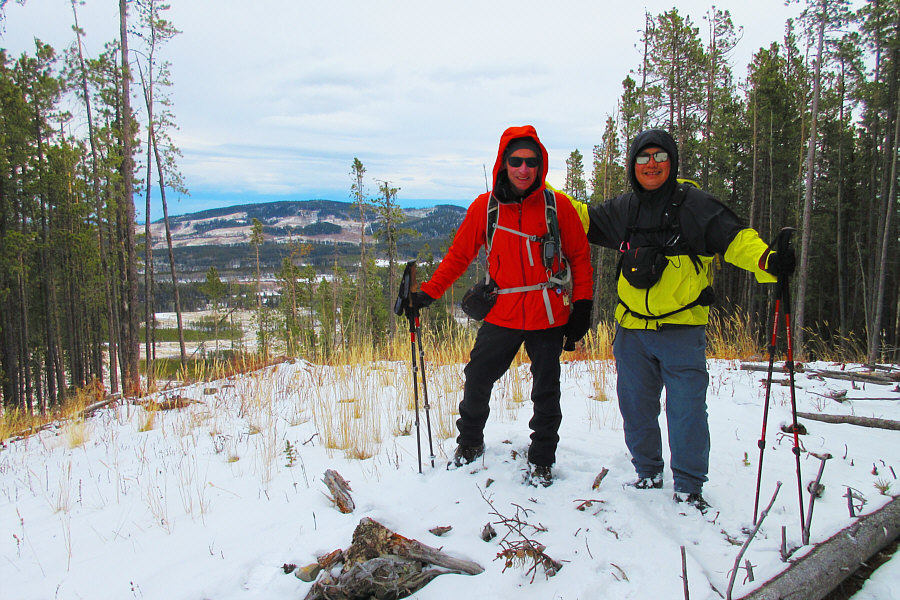
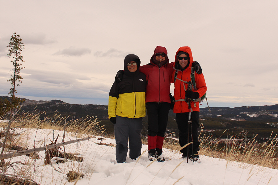
Bob and Sonny stand on the north high point (1650 metres) of McLean Creek Hills.

Photo courtesy of Zosia Zgolak

The ATV road is our ticket home! Bob and Zosia intersect an ATV road going over a dip in the ridge.  A side road branches off the ATV road at far right and climbs up the ridge ahead leading to the south high point.
Hey Bob, two minutes for looking so good! 
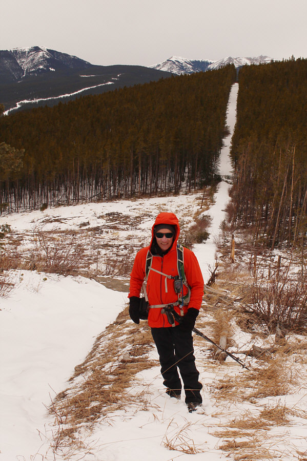
Bob climbs up the side road which appears to be the continuation of a cut line.
Zosia walks funny! 
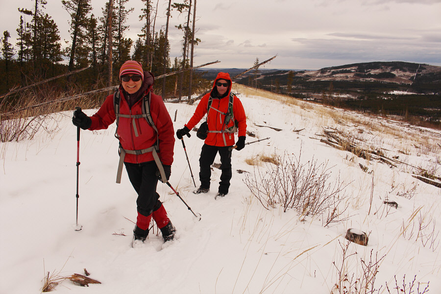
Zosia and Bob hike up the remaining section of ridge before the south high point.
Great success! Sonny, Zosia and Bob stand on the south high point (1661 metres) of McLean Creek Hills.

Looks like a lot of McLean Hill has been logged in recent years...

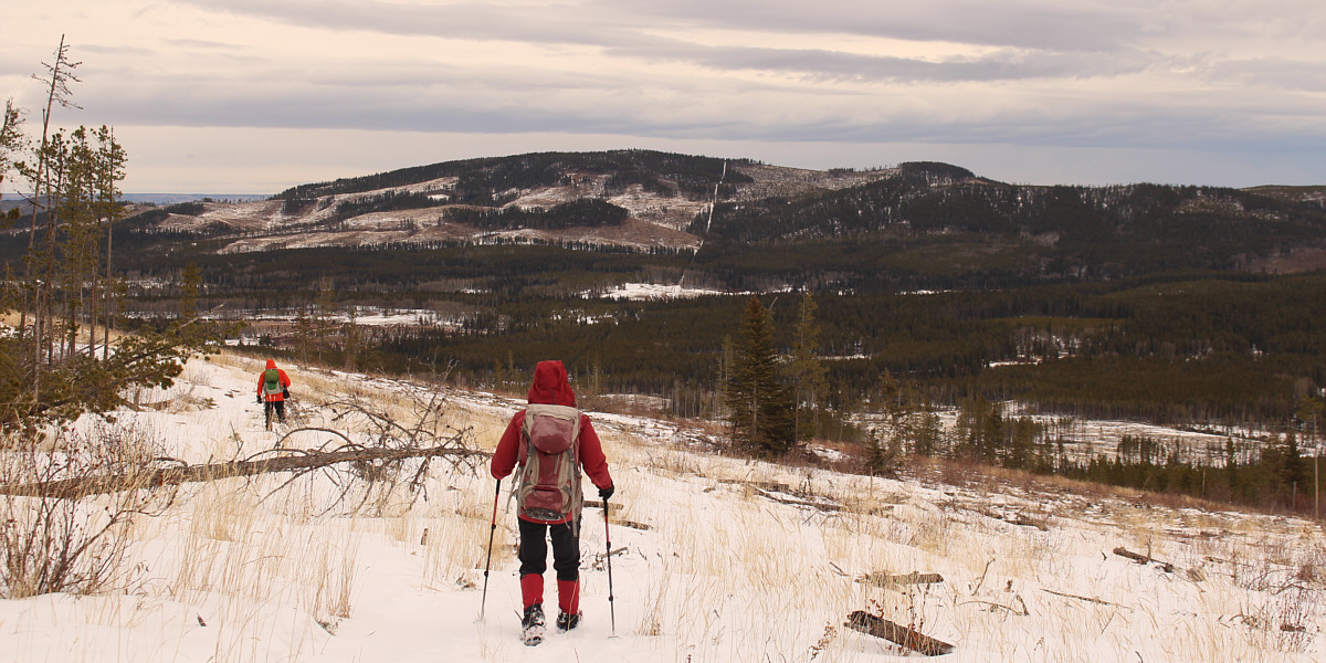
Bob and Zosia retreat along the ridge after leaving the south high point.  McLean Hill stretches across the eastern horizon.


That white strip in front of Prairie Mountain looks like it could be a nice ski run...

Here is a clear view of Prairie Mountain (left) and Moose Mountain (right) to the northwest.


I'm always amazed at how straight these cut lines are! 
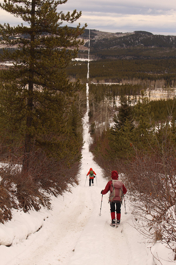
Bob and Zosia descend the ATV road which is part of a cut line that extends all the way to McLean Hill.
I'd like to try riding an ATV someday... 
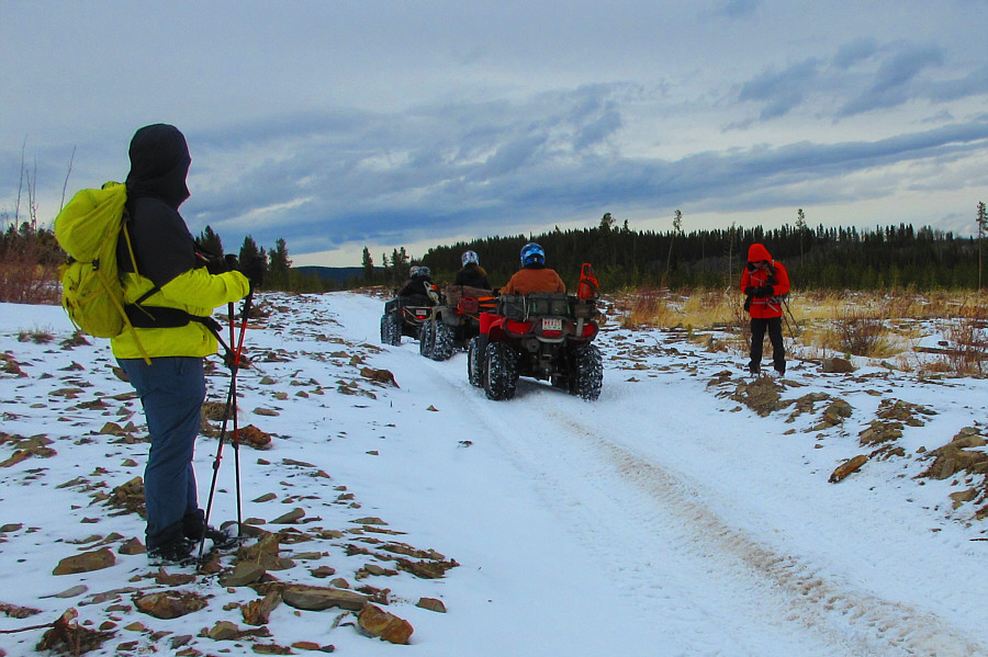
On the way back, Sonny and Bob step aside to allow some ATVs to pass.

Photo courtesy of Zosia Zgolak
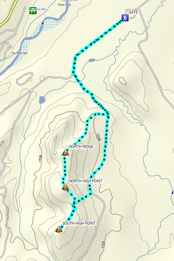
A nice and easy hike if you don't mind some scrubby terrain and occasional ATVs. Total Distance:  9.4 kilometres
Round-Trip Time:  3 hours 33 minutes
Cumulative Elevation Gain:  447 metres

GPX Data