BOU AVENUE
Salter Ridge
With snow still plastering higher mountains to the west and given an unsettled weather forecast, Chester Fitchett, Zosia Zgolak and I headed to Alberta's Ghost Public Land Use Zone (PLUZ) on 7 May 2022 to hike up lowly but officially-named Salter Ridge.  Brandon Boulier has a record of his 2021 ascent published on peakbagger.com, but in my haste to plan this trip, I had neglected to check out his route.  As it turns out, he had ascended Salter Ridge from the east using a gas well road and cut line for his approach.  Indeed, Google Maps shows a myriad of roads in the vicinity of Salter Ridge's high point, but I was not sure which of them would be accessible to the public.  Leery of having to drive through either private property or the nearby Indian Reserve, I devised a route from the west that would be entirely within the PLUZ.  Unfortunately, we would learn that there can be complications with access even on public land.

Turn north onto Highway 40 from Highway 1A, 13.0 kilometres west of the junction with Highway 22 or 36.0 kilometres east of the junction with Highway 1X.  Drive 27.0 kilometres to the end of pavement at the Ghost PLUZ boundary.  Continue driving on the Forestry Trunk Road for another 9.1 kilometres and turn right onto a road with a sign that reads "Whispering Pines Bible Camp".  Drive past Waiparous Creek ATV Staging Area (vault toilets) in about 400 metres and then continue for another 2.7 kilometres to a Y-junction.  Park here without blocking any of the roadways.  The road branching left enters the bible camp while the road branching right is blockaded by both a locked gate and a berm on the other side.

My original plan was to continue driving along the right-hand road for another five kilometres or so to reach the flats of Aura Creek to the south.  Unfortunately, the locked gate and berm meant that Chester, Zosia and I had to start our hike much further away than planned, and this would add significant extra distance to our trip.  Undeterred, we circumvented the gate and scrambled over the berm to continue along the road on foot.  About 1.4 kilometres past the gate, we reached a split in the road.  Had we been driving, we would have gone left here, but instead, we turned right to follow the road heading south.  This road ends only about 700 metres past the split, and although we were able to carry on for another 300 metres on a rougher logging road, it also eventually peters out.  At this point, we descended a bit to avoid walking through slash and made good progress within some light forest that had not been logged.  Ultimately, we re-entered the slash to climb over a low ridge before working our way down to the flats of Aura Creek.  It took us less than 1.5 hours to travel about 4.5 kilometres to where I originally wanted to start our hike, and I felt much better about our chances of reaching our objective.

As we entered the flats of Aura Creek, Chester, Zosia and I spotted a couple of wild horses as well as lots of horse bones.  Wild horses seem to be prolific in the area as evidenced by the abundance of horse dung everywhere, and we would later see no fewer than nine more of them along our route.  We took a short detour to Horse Lake before making our way eastward through a mix of light forest and boggy terrain.  We eventually reached the start of an obvious cut line running eastward, and we basically followed it for about 2.3 kilometres over an intervening ridge before connecting with a gas well road.  This cut line is not entirely straightforward to follow.  After the cut line makes a brief jog around a low ridge, there is a straight section that is quite boggy followed by a bushy section that requires a detour through the adjacent trees.  The climb to the top of the intervening ridge is also brutally steep, and it was a little disheartening having to lose much of that hard-won elevation as we dropped down the far side passing a natural gas compressor station en route to the gas well road at the valley bottom.  Upon reaching the road at a hairpin turn, we followed it to the south and then to the east for about 700 metres before turning off onto a grassy doubletrack heading up through the trees.  This doubletrack led us easily to the crest of Salter Ridge, and a short traverse brought us to the high point in a clearing.

For our return trip, Chester, Zosia and I backtracked to the gas well road and then retraced our steps along the cut line over the intervening ridge.  When we eventually made it back to the Aura Creek flats, we paid another visit to Horse Lake before heading for the road I was originally hoping to drive in on.  We elected to follow this road at least partway back, but when we reached a critical junction after a couple of kilometres of easy walking, I was unable to consult a satellite image I had saved on my phone which suddenly died on me.  Although my GPS unit was still functional, the loaded map did not show any of the backroads in the area.  Rather than chance walking further into unknown territory, we abandoned the road we were on and grinded up and over a logged ridge to regain the original road we took at the aforementioned split (had we stayed on our road and kept right at the critical junction, we would have eventually returned to the same split albeit in a roundabout way).  We had no more issues for the remaining walk back to the berm and locked gate.
Well, so much for a short easy day...

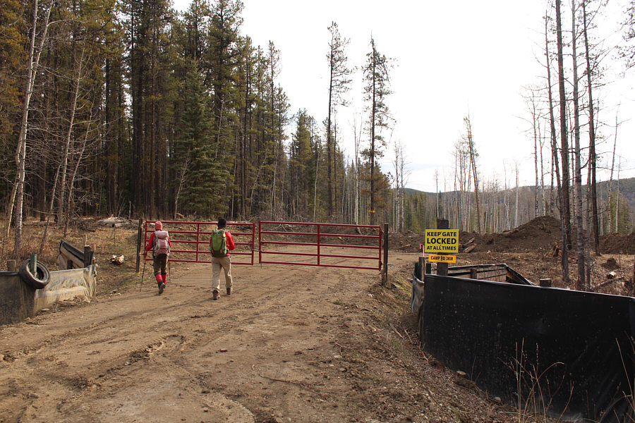
A locked gate and berm effectively force Zosia and Chester to begin their hike prematurely.

Welcome to Alberta's PLUZ.

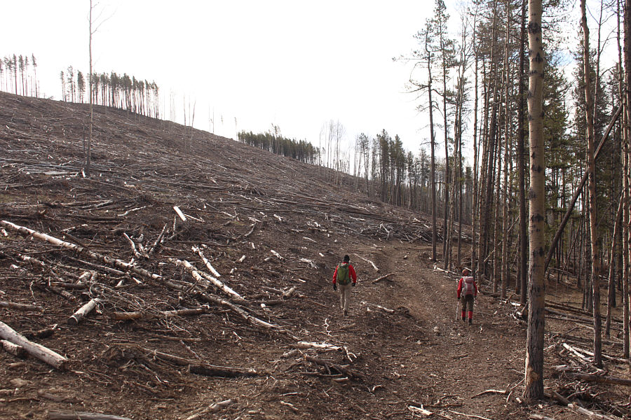
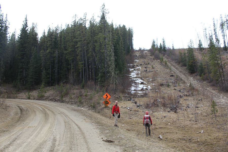
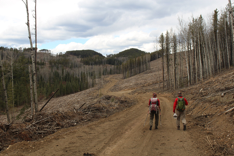
Chester and Zosia take advantage of a logging road to travel through some heavily logged areas.

Look for some horse trails...but watch out for the horse poop! 
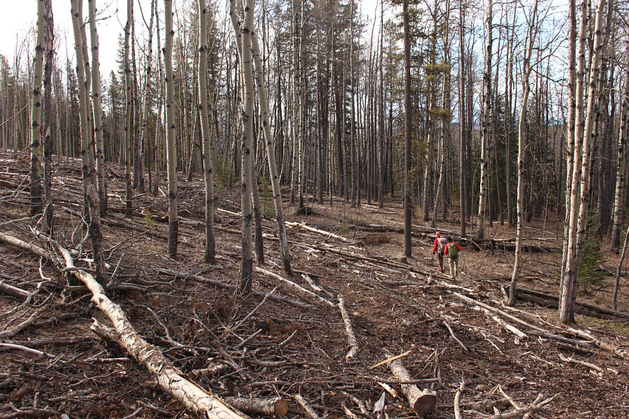
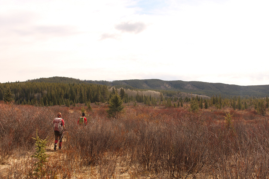
Without a logging road to follow anymore, Zosia and Chester find easier travel in the adjacent unlogged forest.
Walking through slash sucks!

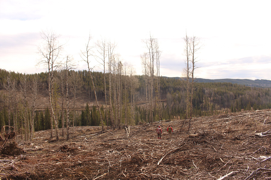
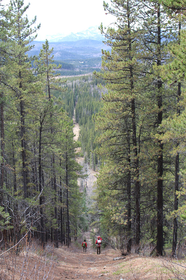
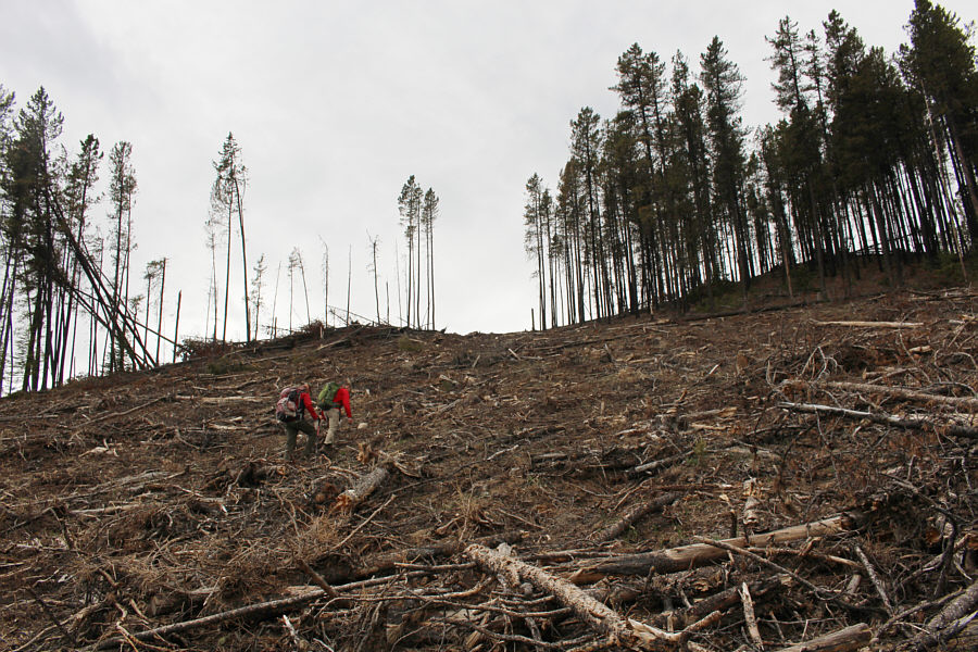
After climbing over the crest of a logged ridge, Zosia and Chester descend through some slash aiming for the flats of Aura Creek which are out of view to the right.  The road across the valley would be used on their return hike.

Sigh...this was supposed to be where we would start hiking! From the flats of Aura Creek, Salter Ridge is hidden behind the intervening ridge on the horizon.
This skull has better teeth than me! 
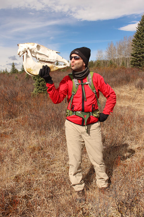
Chester kisses a remarkably intact horse skull.
Guess what they saw! 
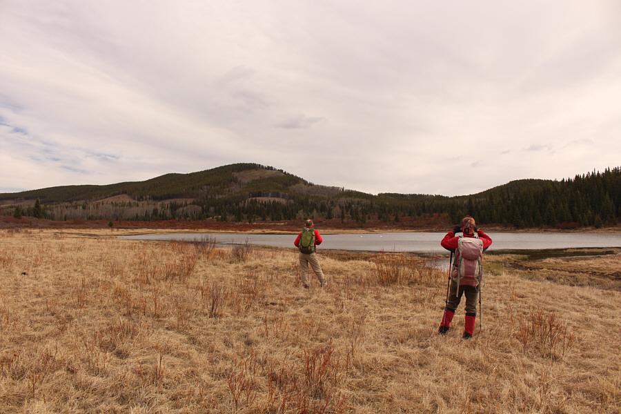
Chester and Zosia pause near Horse Lake to observe some waterfowl.
Smelled like a sulphur spring here...or maybe it's all the horse poop! 
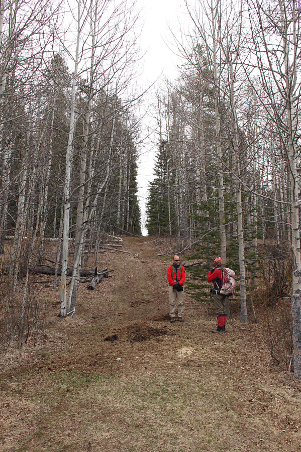
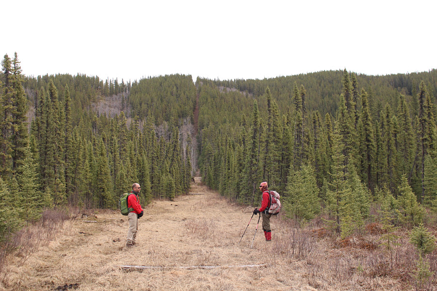
This is the start of a cut line which provides a convenient route to access Salter Ridge.
Three of the eleven in total that we spotted on this day!

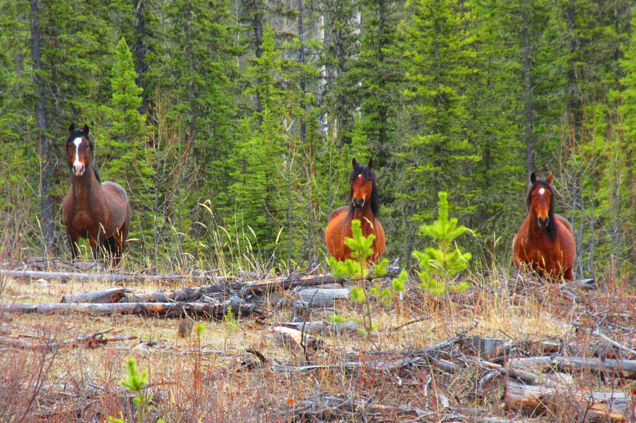
Wild horses roam extensively throughout this area.

Photo courtesy of Zosia Zgolak

Yikes! Get ready for a steep grunt!

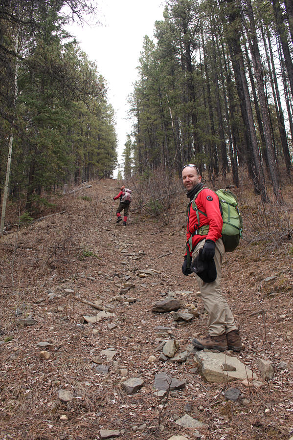
The cut line continues straight over the forested ridge ahead.

At least we're not bushwhacking! The section of the cut line going over the ridge is brutally steep.
We should have brought our skis! Just kidding.

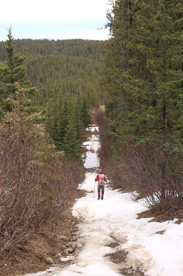
Zosia encounters lingering snow patches while descending the cut line on the far side of the ridge.

Noisy as hell here! 
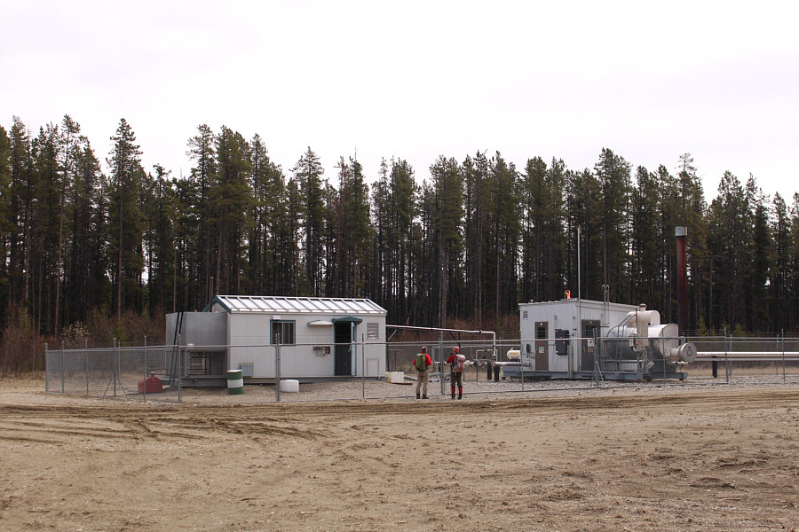
Chester and Zosia take a short detour from the cut line to check out what appears to be a natural gas compressor station.
R.I.P. black bear! 
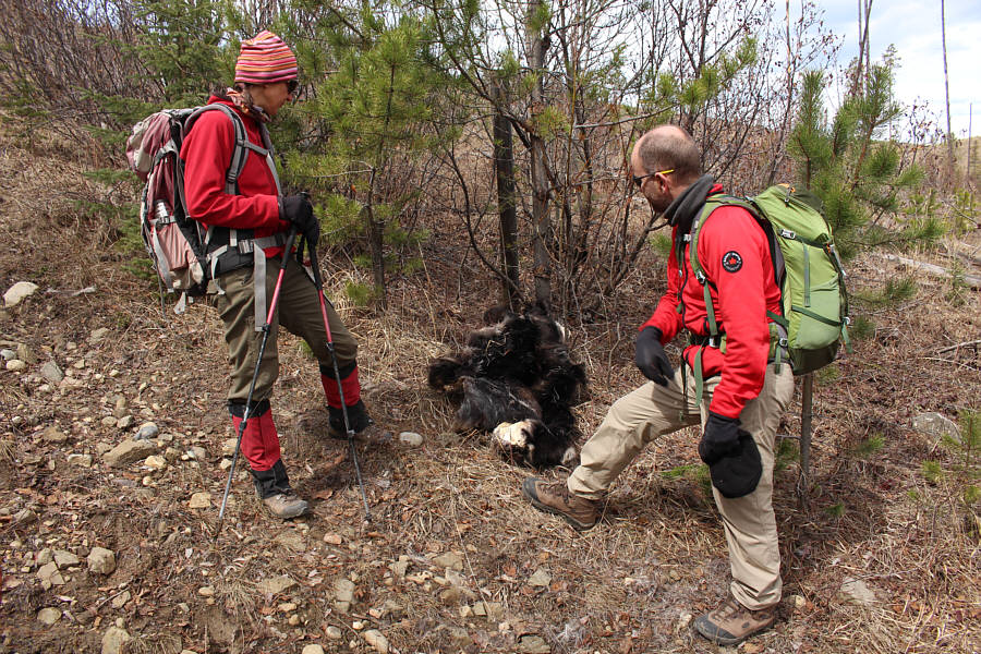
Zosia and Chester find what appears to be the hide of a black bear.  Why it was discarded here is a mystery.
Almost there! After walking for a short distance along a gas well road, Chester and Zosia prepare to leave it here and head left to climb up Salter Ridge.

Costigan is very intriguing to me...

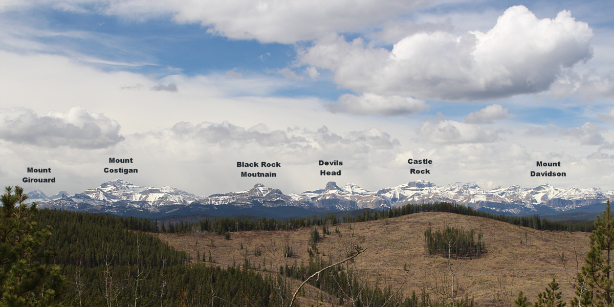
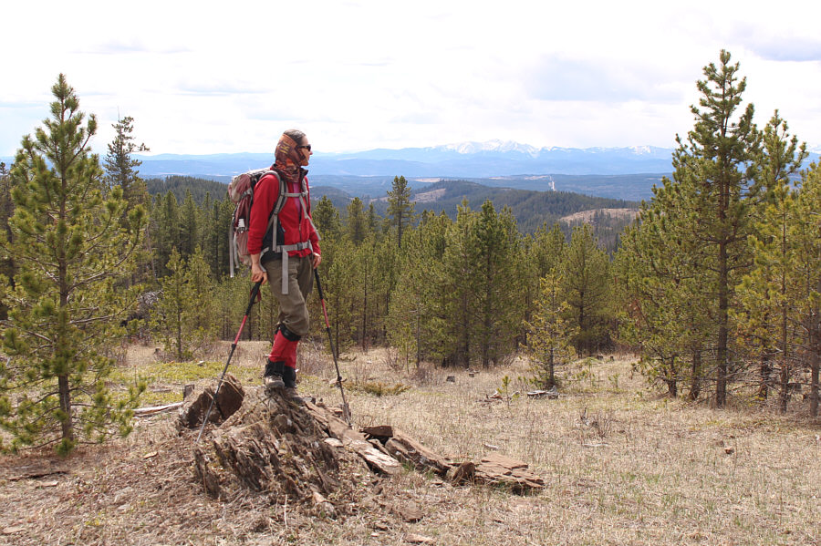
A small clearing on Salter Ridge grants this view of distant mountains to the west.


Not bad views for a lowly foothill. Near the top of Salter Ridge, Zosia gets a glimpse of Moose Mountain on the horizon to the south.
We miss you Marta Wojnarowska! 
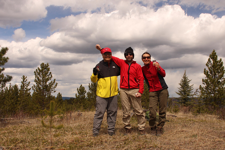
Sonny, Chester and Zosia stand on the high point of Salter Ridge (1668 metres).
I was looking for it all day in that direction! 
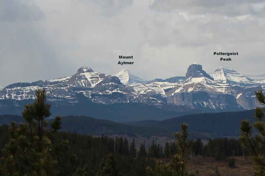
Previously obscured by clouds, Mount Aylmer finally makes an appearance in this view from Salter Ridge's high point.
Always go for "more direct"; why prolong the misery? The road going left eventually leads to the compressor station, but for their return hike, Chester and Zosia elect to retrace their steps up the steeper but more direct cut line road on the right.
It would be fun to roll a bowling ball down this cut line! Chester and Zosia drop steeply down the west side of the intervening ridge along the same cut line.
How often do you see swans in the backcountry? 
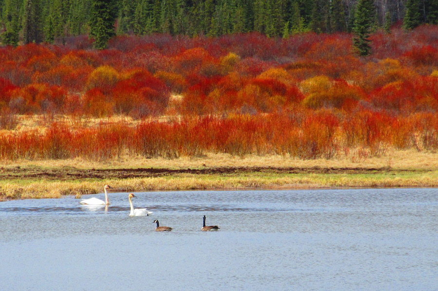
Here is a closer look at some swans and geese on Horse Lake.

Photo courtesy of Zosia Zgolak

I wish I had my e-bike here... 
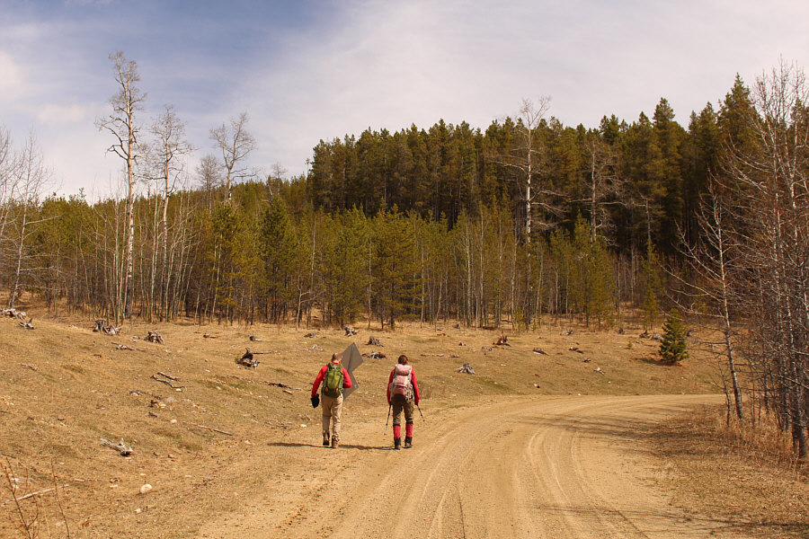
Zosia and Chester follow the logging road previously seen from a distance on the way in.
They didn't even offer to give us a lift! 
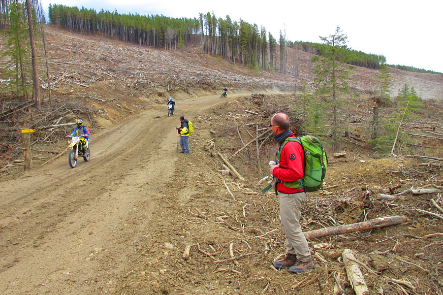
Sonny and Chester step off the road to allow some dirt bikers to go by.

Photo courtesy of Zosia Zgolak

Last bit of misery for the day! Zosia and Chester abandon the road they were on and climb up through some slash.  Their original approach road is just on the other side of this logged ridge.
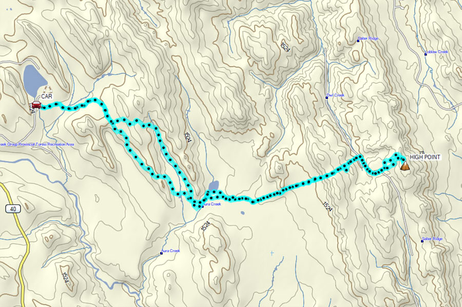
Horse poop everywhere...'nuff said! Total Distance:  20.9 kilometres
Round-Trip Time:  8 hours 14 minutes
Cumulative Elevation Gain:  814 metres

GPX Data