BOU AVENUE
Susan Peak (Blackwater) Lookout

With a round of golf booked for the afternoon of 25 June 2022, I decided to squeeze in a quick morning hike with Zosia Zgolak up Susan Peak Lookout located northwest of Donald, British Columbia.  I got the idea for this hike from a trip report by Josée Ménard and Fabrice Carrara who made an impromptu ascent in 2015 under challenging winter conditions.  While they had to walk much of the access road, we had the benefit of dry conditions and were able to drive most of the way to the actual trailhead pullout.  Incidentally, a description of this hike can also be found in Mike Potter's Fire Lookout Hikes in the Canadian Rockies under the name, "Blackwater Lookout".

Turn onto Donald Road from Trans-Canada Highway, 122.0 kilometres east of the lights at the intersection with Victoria Road in Revelstoke or 25.1 kilometres north of the intersection with Highway 95 in Golden.  Drive 1.4 kilometres to the intersection with Big Bend Highway/Bush Forest Service Road and turn left.  Drive 11.5 kilometres to a signed junction and turn left.  Drive on a rougher gravel road (high-clearance vehicle recommended) for 9.7 kilometres to another signed junction.  The left-hand road leads to Susan Lake Recreation Site while the narrower right-hand road (signed, "Jeb Lake") leads to a small pullout in about 1.2 kilometres.  This pullout is the unsigned trailhead for Susan Peak Lookout.

Worried about getting stuck in a huge mud hole about 150 metres past the last signed junction, Zosia and I elected to park my car and walk the remaining distance to the trailhead pullout.  The mud hole actually turned out to be the crux of the trip as we had to thrash our way through some unpleasant bush to get around it.  Arriving at the trailhead pullout, we veered onto a narrower track which makes a couple of rising switchbacks before ending at the lookout site.  Previous visitors had done a good job of chopping down encroaching alder branches, and we had no issues whatsoever hiking all the way up.  All that remains of the former fire lookout is an eerie concrete tower which resembles an extraterrestrial monolith.

When Zosia and I had our fill of far-reaching views, we hiked back the way we came, and other than a second brief thrash to circumvent the mud hole near where we parked, our descent was quick and painless.
I think we can handle an extra kilometre of hiking each way!

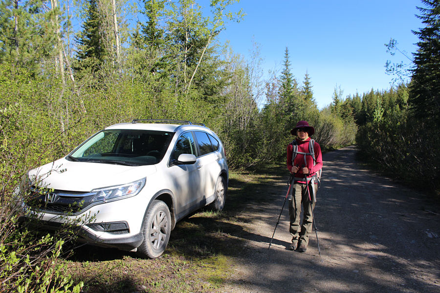
Zosia begins hiking along the access road about a kilometre short of the trailhead for Susan Peak Lookout.

We saw a truck nearly get stuck trying to drive through the mud hole.

Ahead of Zosia is a big mud hole along the access road.

I guess we wouldn't want this hike to be TOO easy! 
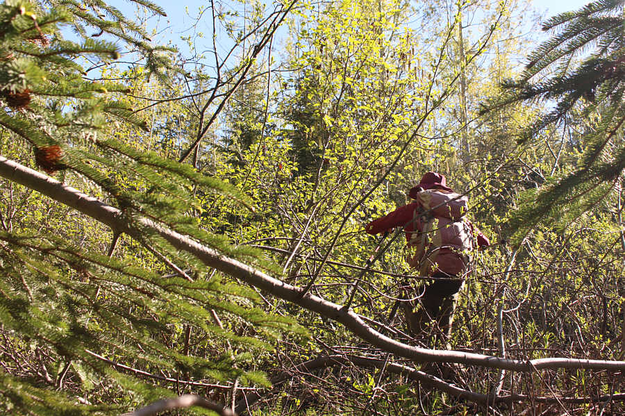
Circumventing the mud hole necessitates a short but unpleasant bushwhack.
Insert your favourite Robert Frost poem here...

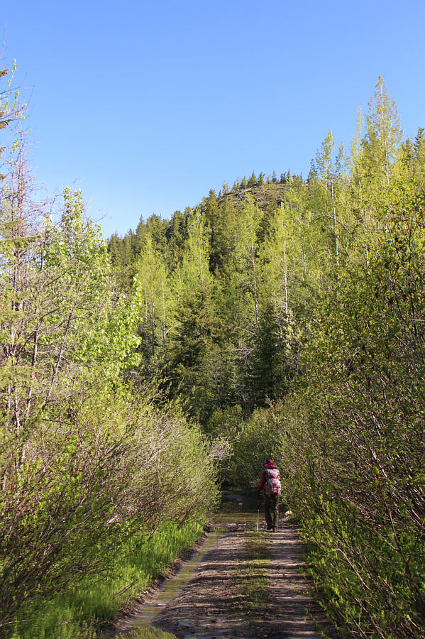
At the trailhead pullout, Zosia follows a narrower track that seemingly heads into thick bush.

No need to bring your machete or chain saw...this time!

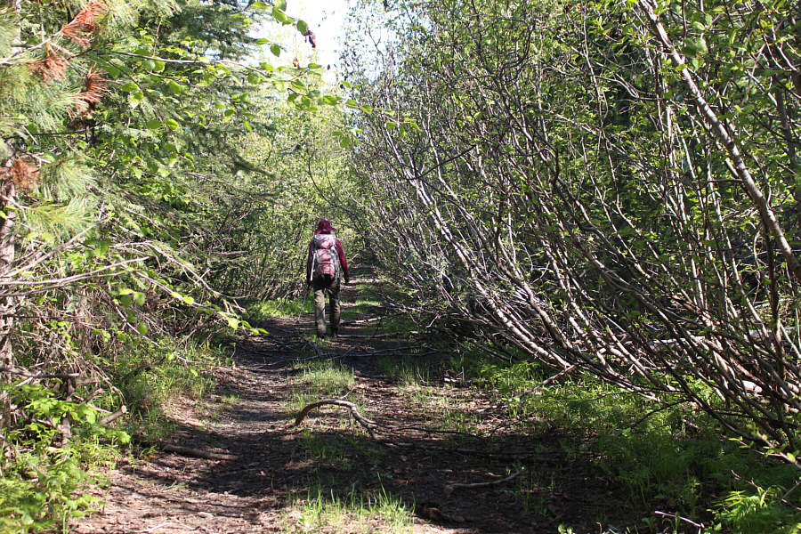
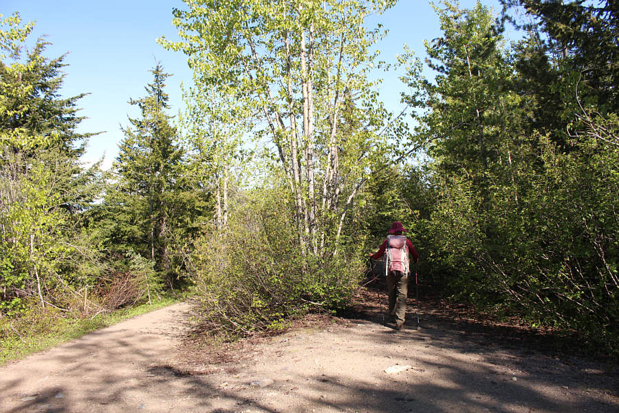
Encroaching alder branches have been conveniently chopped back along the track leading to the lookout.

The fire lookout seems to be missing its top... 
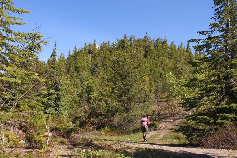
Zosia gets a glimpse of the fire lookout while passing the second of two switchbacks along the route.
Now we're talkin'! 
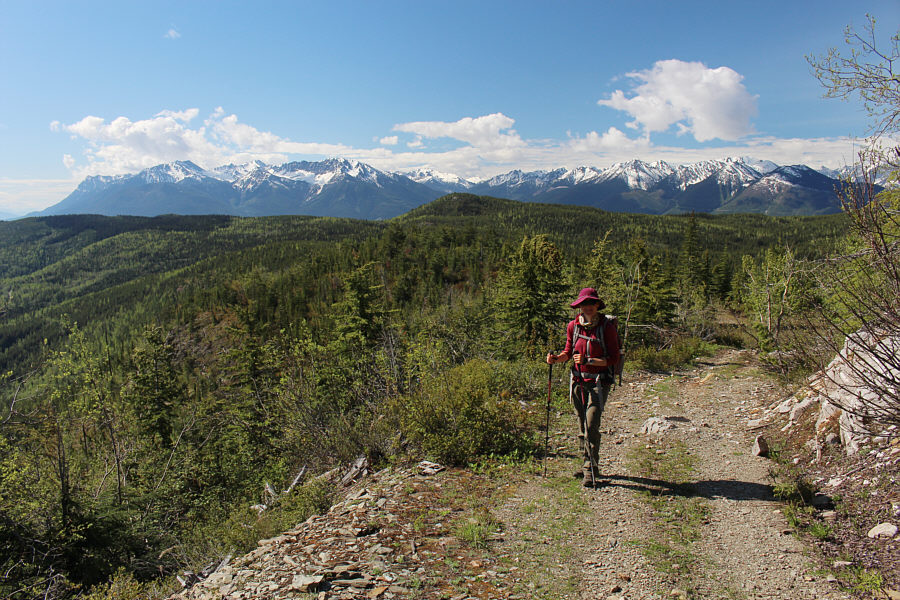
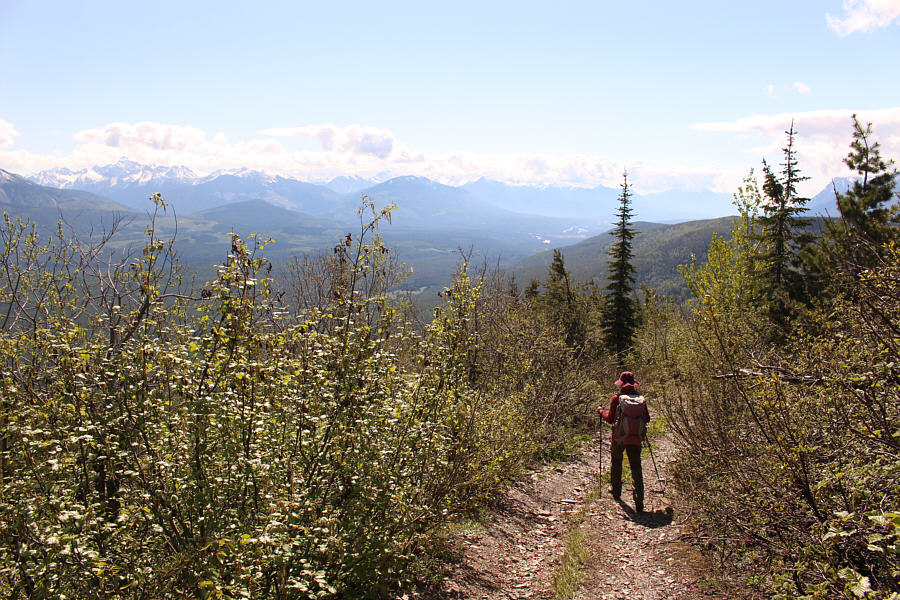
Distant mountains appear across the southern horizon as Zosia climbs the last stretch before the top.
"Leftovers" as Zosia would say! 
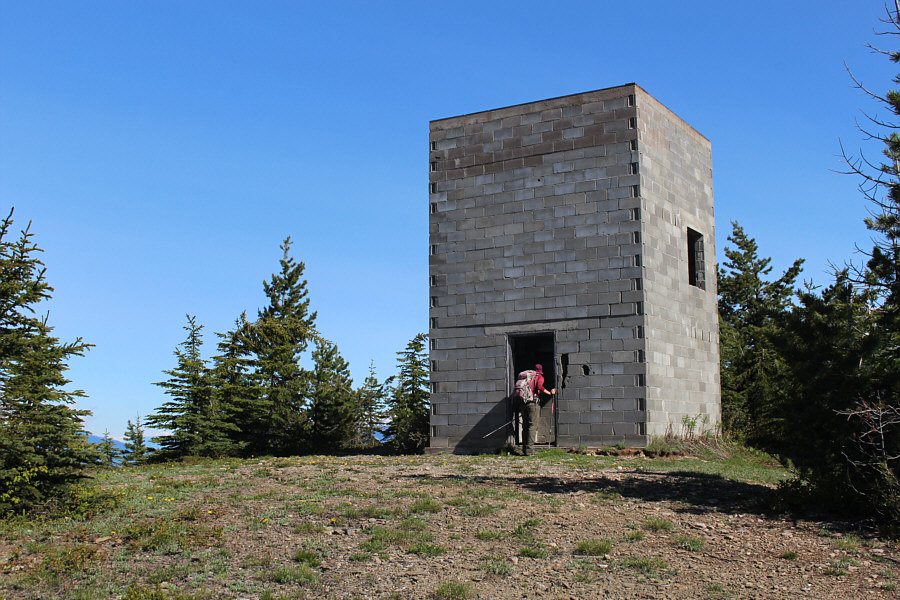
All that is left of the fire lookout is a concrete tower.

Wow, we weren't expecting this view!

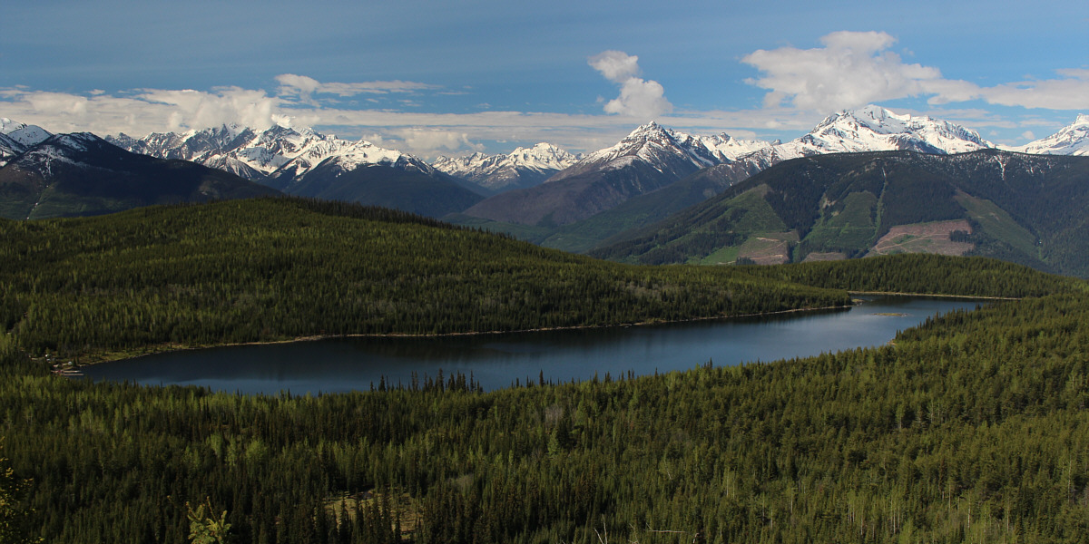
Susan Lake steals the show in the view to the southwest.


Hardly feels like an earned summit...but I'll take it!

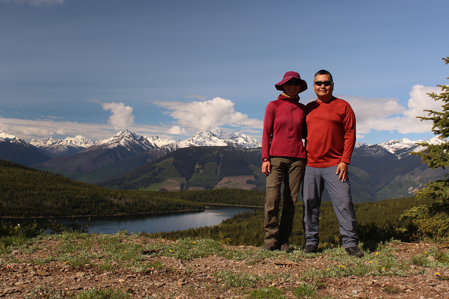
Zosia and Sonny stand on the site of Susan Peak Lookout (1708 metres).

Looking into some rather remote parts of the country... 
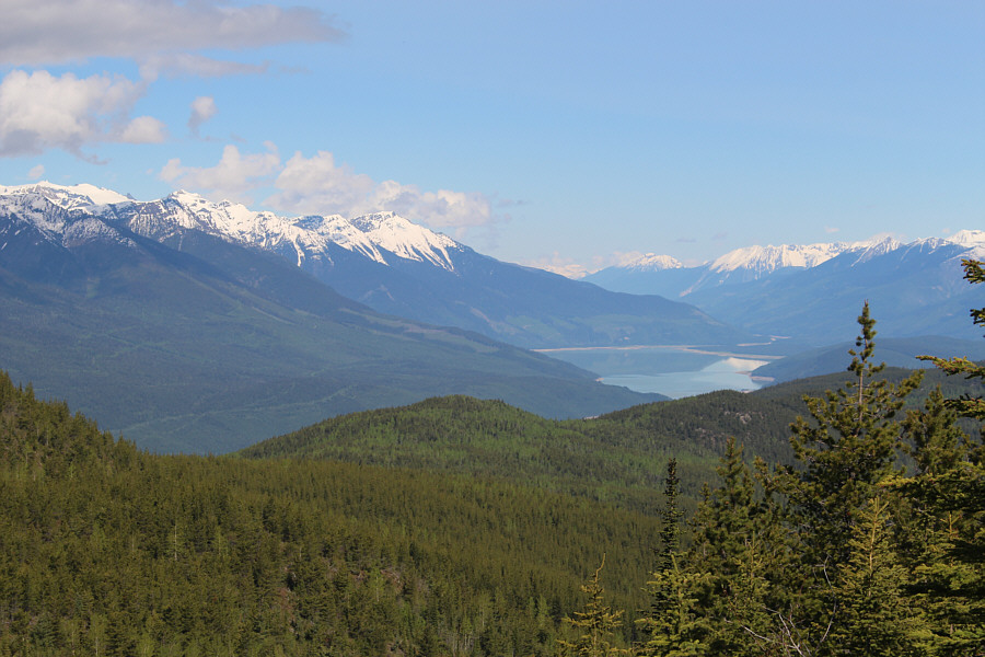
Tabernacle Mountain (left of centre) and McNaughton Lake (Columbia Reach) are visible to the northwest.
Thank Celina for what?? Hmmm... 
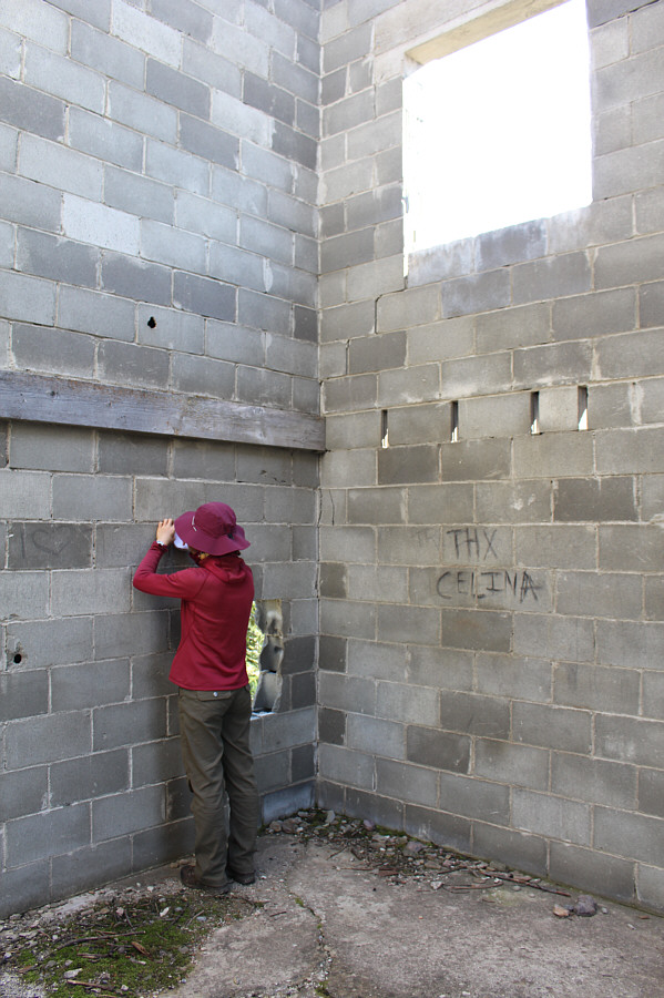
Zosia signs a register located inside the concrete tower.

And a smidgen of Blackwater Lake can be seen at bottom left.

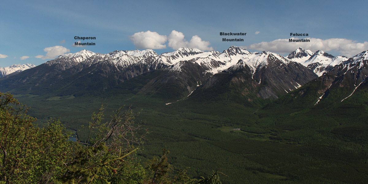
Visible to the north are some unfamiliar mountains.


Nothing complicated here! Zosia hikes back the same way.
Probably a mountain that I'll never climb, and that's okay with me! 
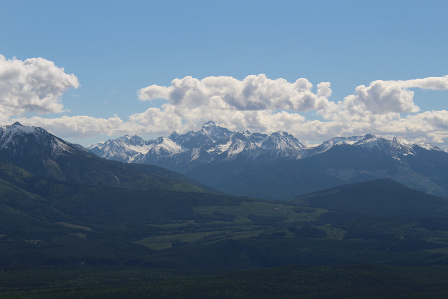
The striking form of Mount Laussedat stands out to the east.
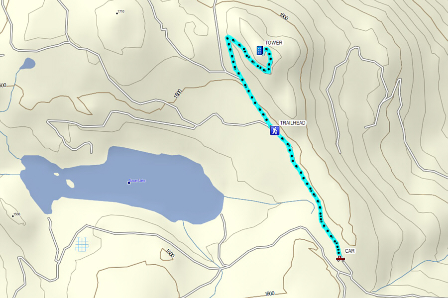
Another trip that is more driving than hiking but gives great bang for your buck! Total Distance:  5.0 kilometres
Round-Trip Time:  1 hour 45 minutes
Net Elevation Gain:  125 metres

GPX Data