Ali and Zosia arrive at Elk Pass.
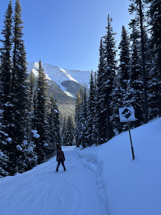
After leaving Elk Pass, Ali descends along Tyrwhitt trail.
Zosia and Ali stop to put climbing skins on their skis.
Ali and Zosia arrive at East Elk Pass.
|
|
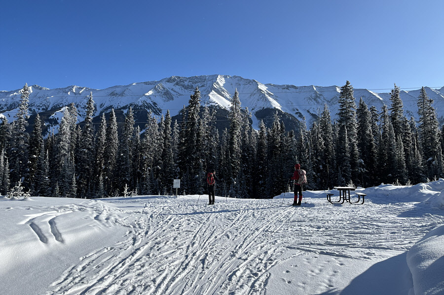
Mount Fox looks brilliant in the morning sun as Ali and Zosia reach the junction between Patterson and Elk Pass trails. |
|
|
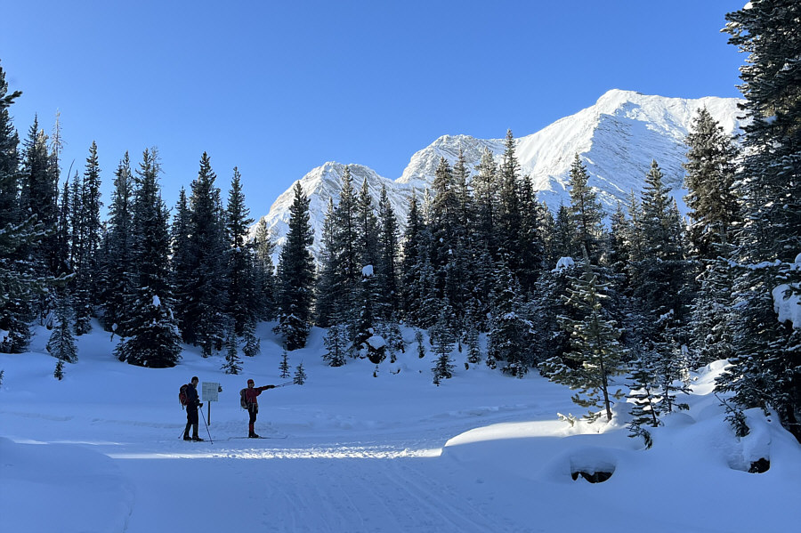
Ali and Zosia arrive at Elk Pass. |
|
|
After leaving Elk Pass, Ali descends along Tyrwhitt trail. |
|
|
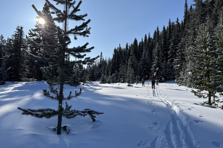
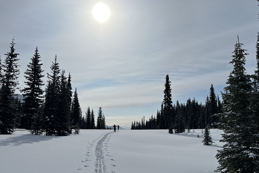
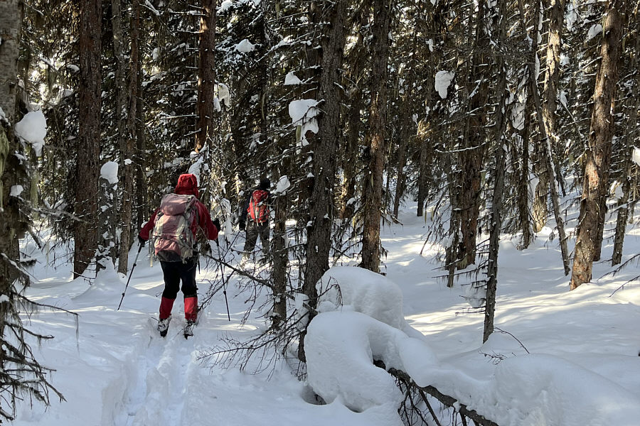
Abandoning Tyrwhitt trail, Zosia and Ali break trail along Boulton Creek drainage. |
|
|
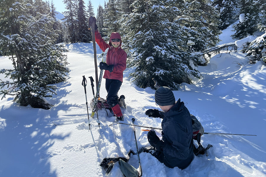
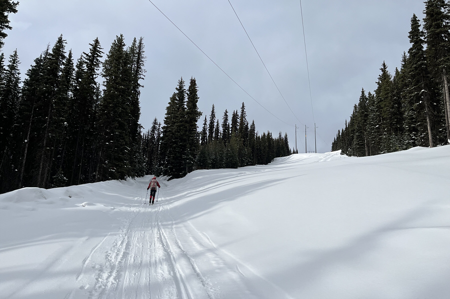
Zosia and Ali stop to put climbing skins on their skis. |
|
|
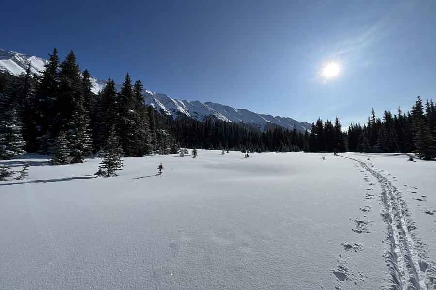
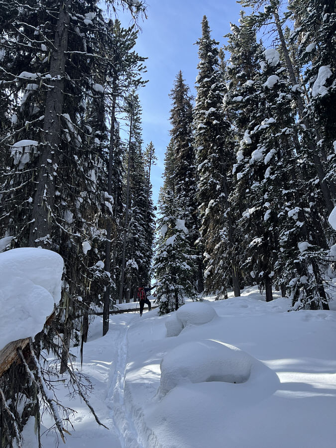
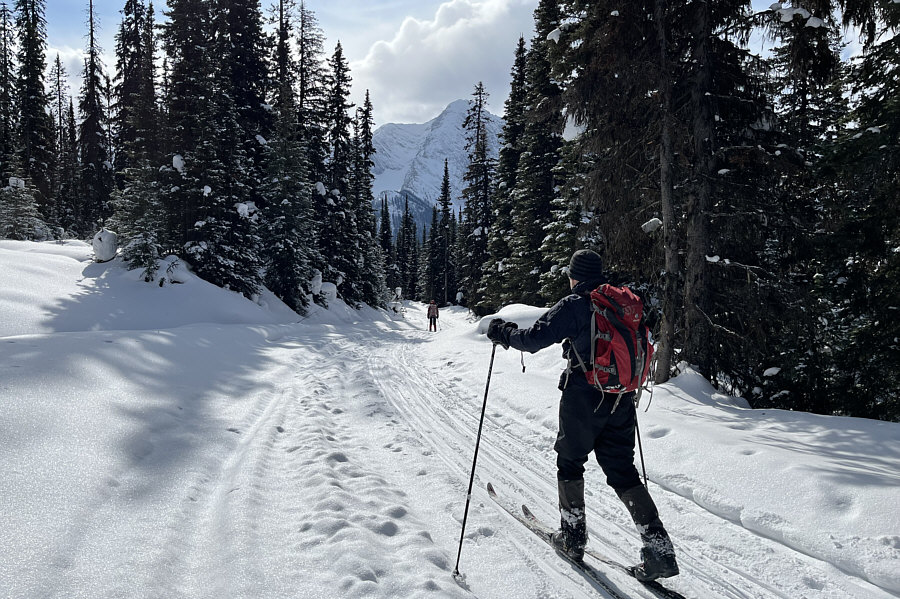
The terrain along Boulton Creek drainage looks mostly flat but is in fact rising very gently toward East Elk Pass. |
|
|
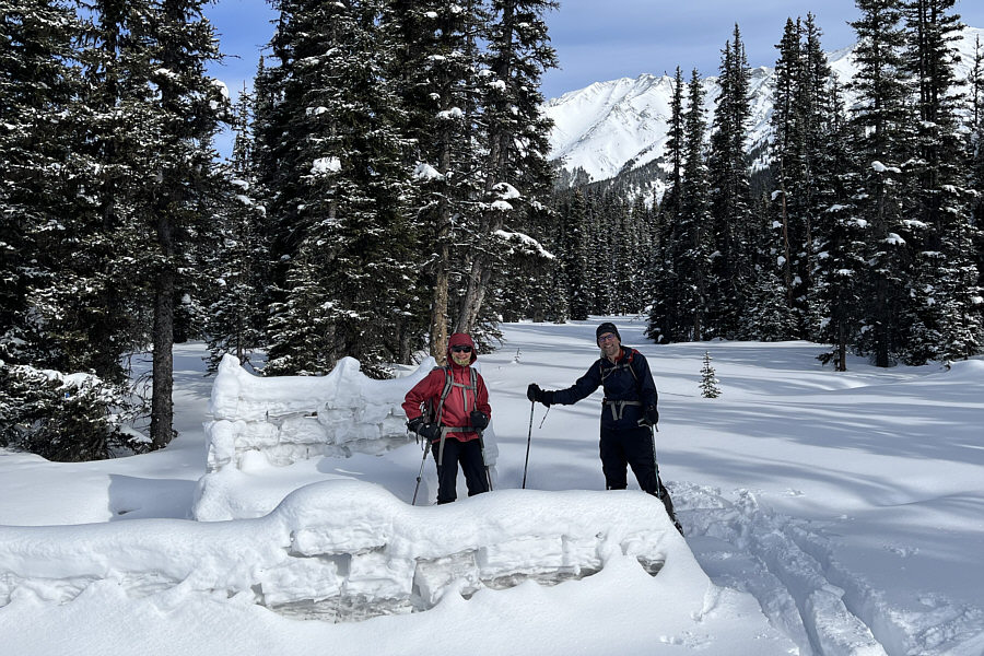
Ali and Zosia arrive at East Elk Pass. |
|
|
Zosia and Ali check out a man-made snow couch and wind-break near the pass. |

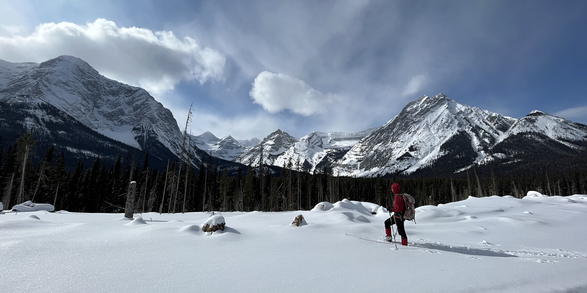
Here is a more comprehensive view of East Elk Pass with the Elk Range in the background.
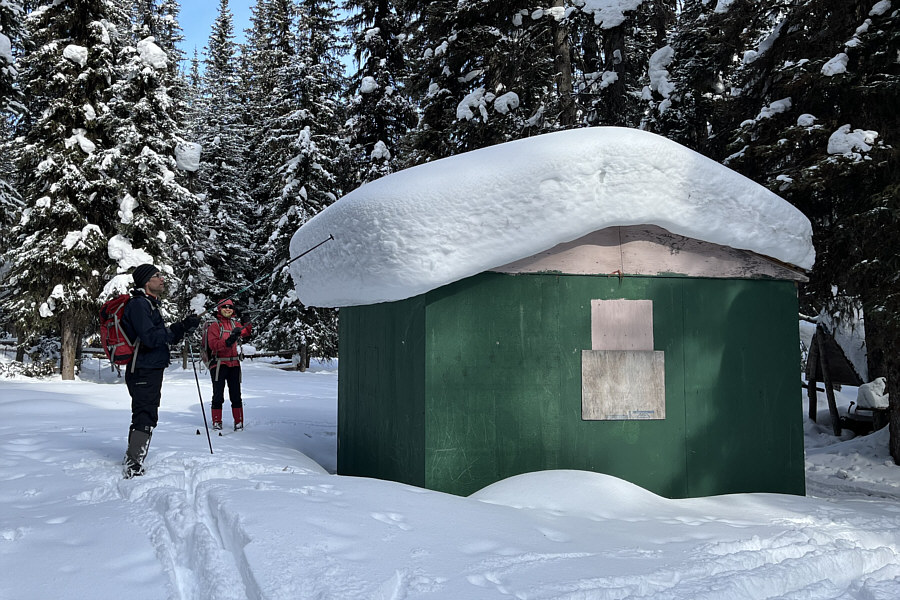 |
An outfitters' hut is hidden in the forest on the west side of East Elk Pass. |
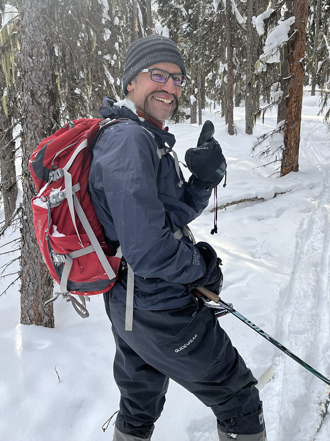 |
Somehow, Ali is suddenly sporting a Fu Manchu moustache! |
 |
This cut line is the provincial boundary between British Columbia (left) and Alberta (right). |
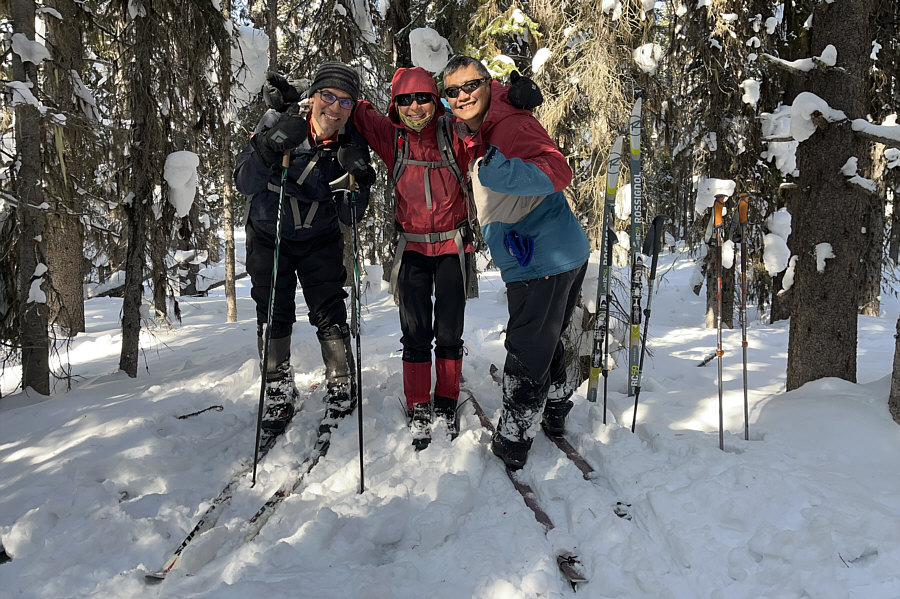 |
Ali, Zosia and Sonny stand on presumably the high point of "East Elk Pass Hill" (2046 metres). |
 |
The provincial boundary makes an abrupt turn at this half-chewed sign. |
 |
After abandoning the provincial boundary cut line, Zosia and Ali descend through moderately thick forest. |
 |
Zosia and Ali regain the main trail to Elk Lakes Cabin. |
 |
The slope to the right seems to have been logged within the last few years. |
Zosia enjoys the scenic views resulting from logging along this section of trail.
 |
Elk Lakes Cabin is fully booked for the weekend. |
 |
Zosia makes the long climb back up to Elk Pass on the way out. |
 |
Total
Distance: 26.6 kilometres Round-Trip Time: 9 hours 48 minutes Cumulative Elevation Gain: 613 metres |