BOU AVENUE
Ginkgo Petrified Forest State Park And Wild Horse Wind And Solar Facility
On 8 April 2023, Zosia Zgolak and I visited Ginkgo Petrified Forest State Park and Wild Horse Wind and Solar Facility; both are located in central Washington.  Ginkgo Petrified Forest State Park is renowned for its collection of petrified wood from a variety of species including that of the park's namesake.  The Wild Horse Wind and Solar Facility provides energy for the Puget Sound area but also allows recreational access for part of the year.  We would start our day with two separate hikes in the State Park followed by another hike in the Wind and Solar Facility to tag a couple of officially-named summits--Whiskey Dick Mountain and Chinamans Hat.

From I-90, take Exit 136 and drive north through the village of Vantage.  About 500 metres past the intersection between Main Street and Ginkgo Avenue, turn right onto Recreation Drive.  Drive 650 metres and park in a small pullout near a signed gate.  This is the starting point for the Trees of Stone Trail which can be made into a loop with a second trailhead located about 600 metres further along the road near a campground at Rocky Coulee Recreation Area.  The more popular Trees of Stone Interpretive Trail which showcases the park's collection of petrified trees is accessed along Vantage Highway about 2.8 kilometres west of the Recreation Drive junction.  Parking anywhere in Ginkgo Petrified Forest State Park requires a Discover Pass which can be purchased either online or at an automated pay station in the Interpretive Trail's parking lot.

At the start of the Trees of Stone Trail, there are two diverging roads heading westward from the gate, and Zosia and I took the right branch which gently ascends a grassy hillside.  This road winds northward for several kilometres through open terrain before reaching an unsigned junction just past an unnamed high point.  Turning right, we dropped into a slight dip and passed a second easy-to-miss junction to reach a viewpoint overlooking Wanapum Lake (Columbia River).  After having our fill of far-reaching views, we backtracked to the dip and took a faint trail branching off to the east.  This trail drops down a bushy gully and turns southward contouring along the tops of cliffs overlooking Wanapum Lake.  The trail seemingly disappeared as we approached its southern terminus, but fortunately, we found an old road winding down steep terrain to the campground below.  From there, we simply walked back along the road to our starting point.
...And I--I took the one less traveled by, And that has made all the difference.

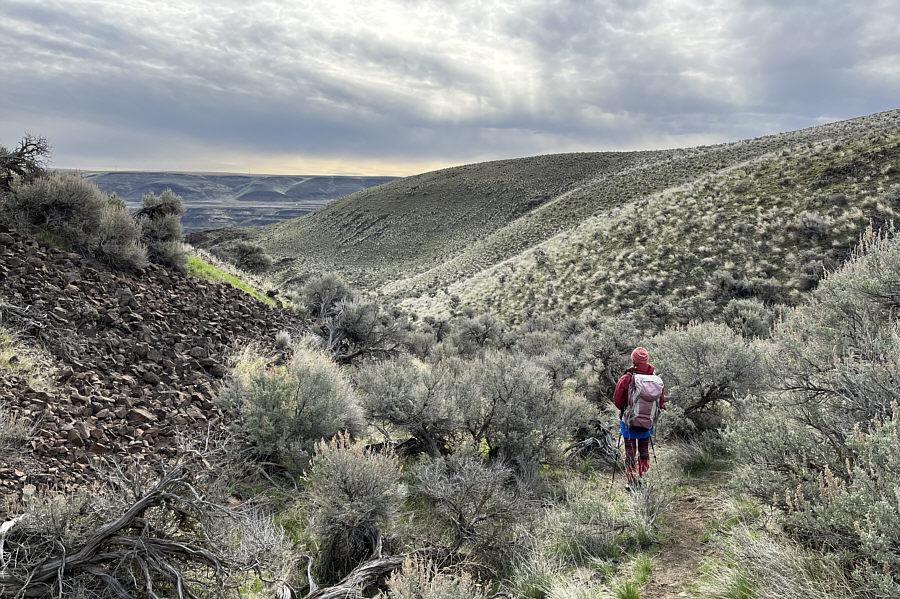
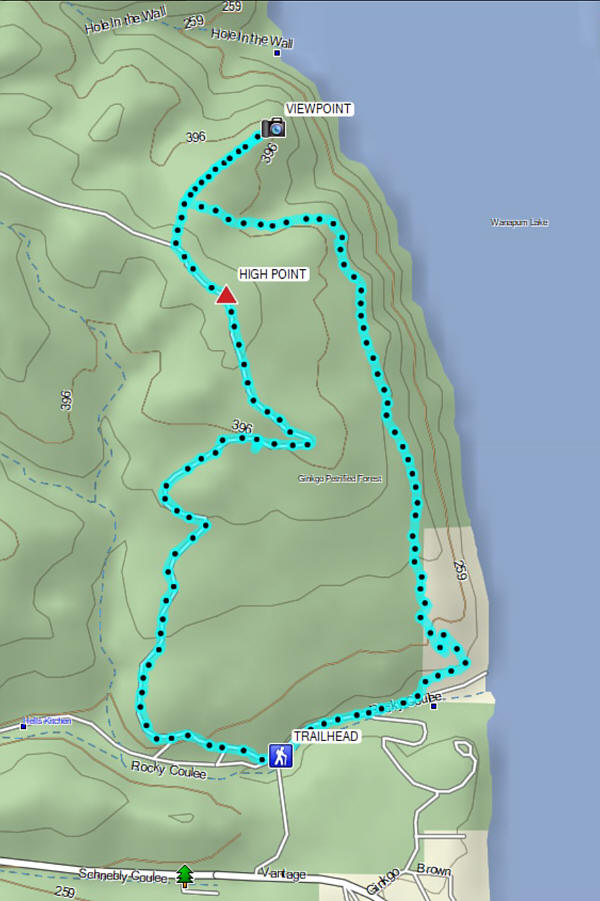
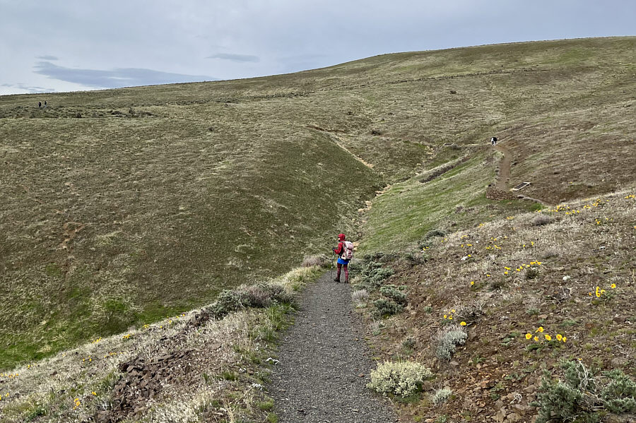
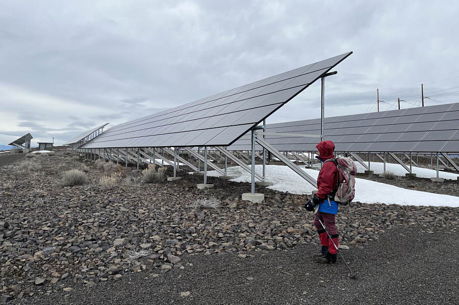
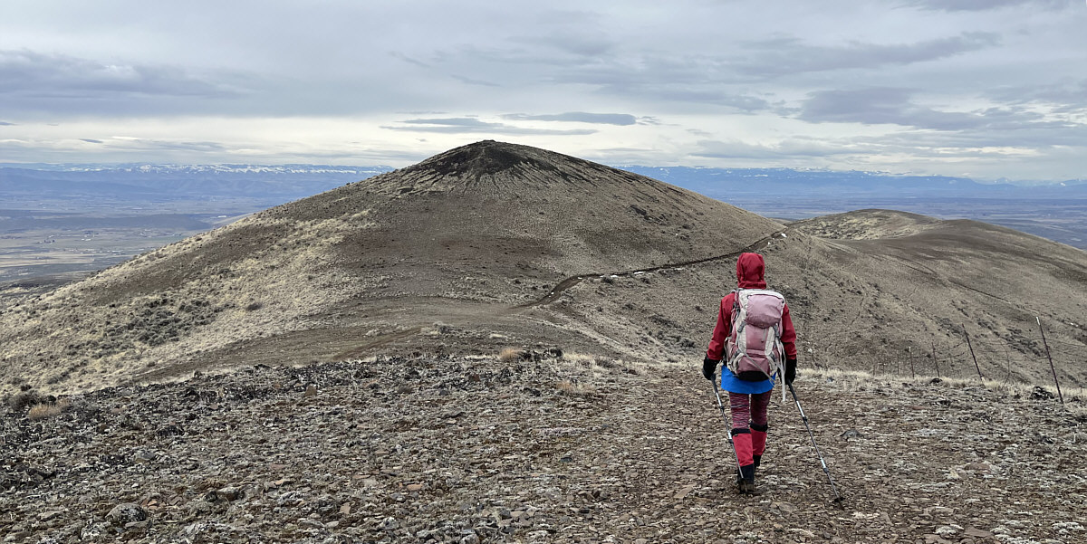
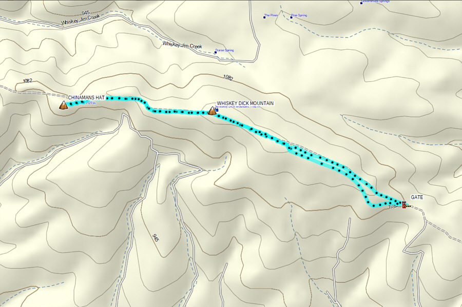
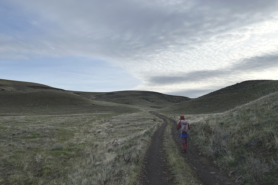
Zosia takes the right branch of two diverging roads at the start.

It must get really hot there in summer!

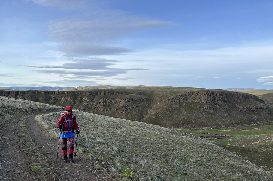
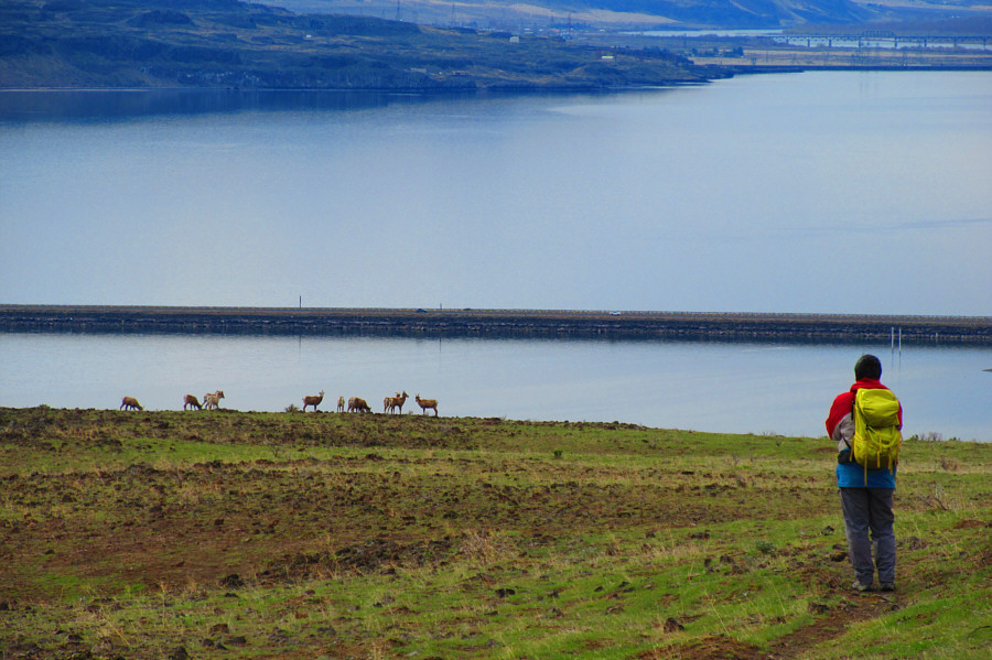
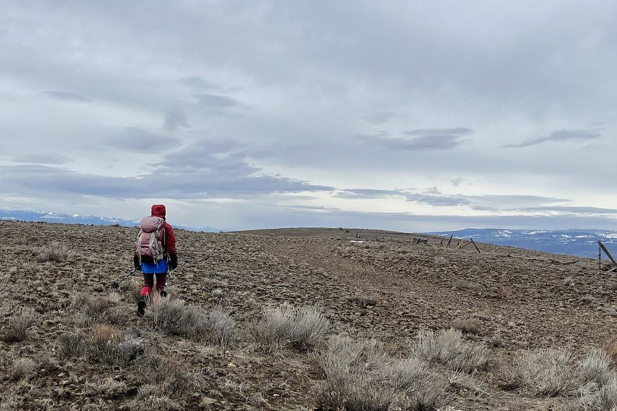
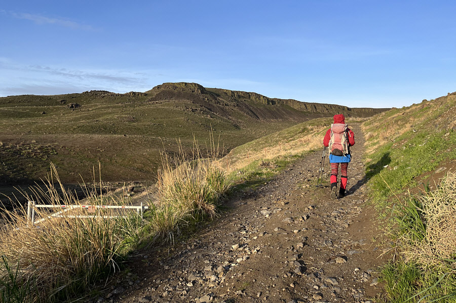
The canyon behind Zosia is known as Rocky Coulee, but the area at bottom right for some reason is also attributed the name, Hells Kitchen.

Would be nice for ski touring if there was snow... Most of the terrain along the road is comprised of gentle rolling hills.
Kinda feels like a summit...

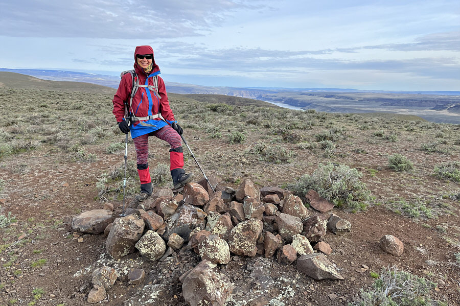
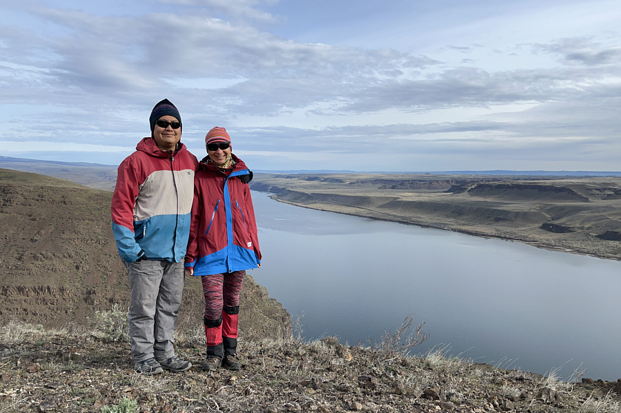
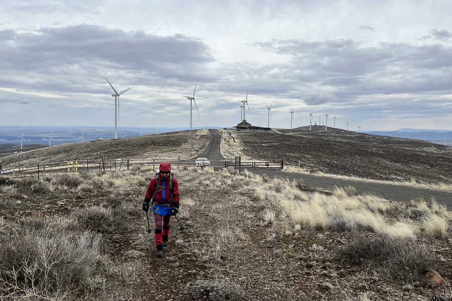
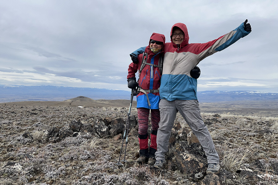
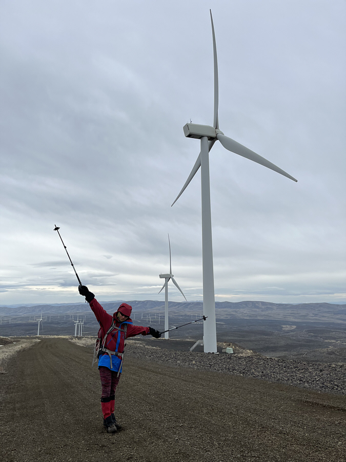
Zosia stands on a pile of rocks at the high point (464 metres) of the hike.

Keep an eye out for a faint trail heading right! Zosia drops into a dip en route to a viewpoint at right.  Part of Wanapum Lake (Columbia River) is visible at left.
Is Sternberg a summit? A surprising survey benchmark is located at the viewpoint (417 metres).
Pretty good views for moderate effort! Sonny and Zosia stand on the viewpoint overlooking Wanapum Lake.
The only claustrophobic section of the hike! Zosia follows a trail down a bushy gully.
It's kinda like hiking along the rim of the Grand Canyon! The trail continues atop these cliffs above Wanapum Lake.

See the herd of sheep?

The I-90 crosses Wanapum Lake on the Vantage Bridge.


This was the second herd of sheep we saw on this hike. A herd of sheep watch Sonny warily while grazing on the hillside.

Photo courtesy of Zosia Zgolak

An easy walk with pleasant views and a lot of solitude. Total Distance:  9.0 kilometres
Round-Trip Time:  2 hours 49 minutes
Net Elevation Gain:  247 metres

GPX Data

After finishing our first hike, Zosia and I drove to the parking lot for the Trees of Stone Interpretive Trail.  We spent some time here touring the various specimens of petrified wood scattered throughout the hillside.  Due to vandalism and theft, the specimens are sadly housed in cages.  One of the specimens is that of a ginkgo tree from which the park derives its name.  Currently, ginkgo trees are only native to China, but at some time in the past, they were far more ubiquitous.
It's like visiting a zoo for petrified wood! Along the Trees of Stone Interpretive Trail, Zosia checks out a petrified wood specimen which is secured inside a cage.
No larches? Here is a closer look at a petrified log from an ancient spruce tree.
Good ski slope! The petrified wood specimens are scattered throughout this hillside.
When we finished our tour of the State Park, Zosia and I drove to the Wild Horse Wind and Solar Facility to hike up Whiskey Dick Mountain and Chinamans Hat.  Although Chinamans Hat is technically on public land, the easiest access is through the Wind and Solar Facility.  Based on an agreement with the State of Washington, the facility allows limited recreational access annually from April to November.

Turn north onto Beacon Ridge Road from Vantage Highway about 26 kilometres east of Ellensburg or 18 kilometres west of Vantage.  Drive 5.6 kilometres to the Wild Horse Renewable Energy Center.  A free recreational access permit must be obtained here before venturing further.  The start of the hike to Whiskey Dick Mountain begins at a Y-junction 500 metres beyond the Energy Center.  Park on the side of the road without blocking a locked gate for the left-branching service road.

As soon as we circumvented the gate, Zosia and I abandoned the service road and began climbing a rough double-track going up the east ridge of Whiskey Dick Mountain.  This double-track passes an array of solar panels--also accessible via the service road--before running past the flat and nebulous summit.  While the hike to the top was simple enough, the ground was quite soft from spring thaw, and we had to tiptoe around a lot of wet and muddy spots along the double-track.

After tagging what we thought was the summit of Whiskey Dick Mountain, Zosia and I continued westward along the double-track and soon entered public land.  The double-track eventually drops down to a saddle and continues past the north side of Chinamans Hat.  We left the double-track at the saddle and easily hiked off-trail to the summit of Chinamans Hat.  A convenient wind-break there allowed us to take shelter and sign the summit register.

For our return trip, Zosia and I simply retraced our steps back over Whiskey Dick Mountain.  When we returned to the solar panels, we avoided all the remaining wet sections along the double-track by taking the service road back to the gate.
And to use the washroom! Sonny stops at the Wild Horse Renewable Energy Center to pick up a free recreational access permit.

Photo courtesy of Zosia Zgolak


And--surprise, surprise--it's windy!

Zosia starts up a double-track which runs parallel to a service road at right.  The Wild Horse Renewable Energy Center is visible in the distance.

The ground along the double-track got progressively wetter as we approached the solar panels.

Zosia approaches an array of solar panels on Whiskey Dick Mountain.

Where can I plug in my iPhone?

Here is a closer look at the solar panels.

Yeah, I hate it when that happens!

The top of Whiskey Dick Mountain is broad and flat.

Close enough for jazz!

Zosia and Sonny stand somewhere near the indistinct summit of Whiskey Dick Mountain (1183 metres).

Chinamans Hat looks farther away than it really is (less than a mile away).

Zosia continues along the double-track toward Chinamans Hat.

It's interesting that Asians in the US don't seem the least bit bothered by the name of this peak.

The double-track passes the north side of Chinamans Hat which can easily be ascended from any direction.


My mommy told me not to swear. Ah so! Ah so!

Sonny and Zosia stand on the summit of Chinamans Hat (1131 metres).

No loops; no nonsense!

Zosia leaves the top of Chinamans Hat with intentions of hiking back over Whiskey Dick Mountain.

Ready for take-off!

Zosia tries to imitate the windmills along the service road.

A rare chance to hike in a wind farm! Total Distance:  8.2 kilometres
Round-Trip Time:  3 hours 1 minute
Cumulative Elevation Gain:  ~210 metres

GPX Data