BOU AVENUE
Thumb Hill

On 4 February 2023, Shaun Luong, Zosia Zgolak and I ascended officially-named Thumb Hill in Alberta's Hand Hills Ecological Reserve.  Although there is nothing technically difficult about ascending the hill, its location at virtually the opposite side of the ecological reserve's only public access road means that any ascent would entail a long and tedious approach across several kilometres of trail-less grassland followed by an equally mundane egress.  The previous winter, Zosia and I made a half-hearted attempt to hike Thumb Hill, but not anticipating the abundance of snow in the area, we quickly gave up after post-holing for only a short distance and vowed to return with light-touring skis.  Returning with Shaun in tow, we had some concerns this time about whether snow conditions would be adequate for skiing, but I felt it was worth making the long drive to find out since the weather forecast promised to be favourable--sunny, warm and, most importantly, little to no wind.

From the intersection with Highway 9 in Drumheller, drive east along Highway 10 for 15.0 kilometres and turn left onto Secondary Road (SR) 573 (2WD gravel).  Drive 24.0 kilometres to a T-intersection with SR 851 and turn left (north).  Drive 7.0 kilometres to an intersection with Township Road 284 and turn left (west).  If road conditions permit, drive 3.3 kilometres to the boundary of Hand Hills Ecological Reserve.  In winter, the road is only plowed up to the last private driveway (about 1.9 kilometres west of SR 851).  If so, park on the road without blocking the private driveway.

From the end of the plowed road, Shaun, Zosia and I skied westward along the continuation of the access road.  Right away, we could see that snow conditions were generally icy, but this was both bad and good.  Pure ice on even the slightest incline proved to be a great challenge for maintaining control of our skis even with metal edges.  At the same time, the icy surfaces were generally supportive throughout our trip which meant that ski penetration was minimal and we did not have to break trail much.  Upon reaching the boundary of the ecological reserve, we climbed over a stuck gate and made a beeline for what appeared to be Thumb Hill on the distant southwest horizon.  The very slight downhill slope here made the initial ski effortless, but barbed wire fencing throughout the area also dictated our route to some extent.  Past an old corral which was probably the low point of our route, we began a gradual but steady ascent up the northeast side of Thumb Hill.  Given the icy conditions, Zosia strapped on her climbing skins here, and I also lent Shaun my skins since he had misplaced his own during his move back to Calgary a few years ago.  I managed fine without skins by slapping on some extra sticky wax.  After climbing over a couple more fences on the way up, we were finally faced with more cow dung than icy snow, and consequently, we ditched our skis and walked the remaining distance to the high point marked by a concrete block with a survey benchmark.  We snapped a couple of photos here before continuing a little further west to a boundary marker overlooking plains to the west.  With the warm sun shining on us and barely any wind, this was a very pleasant spot to stop for lunch.

For our return trip, Shaun, Zosia and I retrieved our skis and mostly skied the same way we came.  While descending the northeast slopes of Thumb Hill, we veered a little further east and found a shallow draw that looked promising to ski down.  Although the upper sections of the draw were quite icy, the lower sections still retained some powdery snow and offered the most enjoyable skiing of the day.  We eventually regained our original track near the aforementioned corral, but the remaining ski back to the access road and my car was a real chore since we were mainly going uphill albeit gradually.

Thumb Hill is unlikely to ever become a classic ski tour, but I believe that skiing is the best way to reduce the dreariness of the long approach.  Although there is really nothing else in the Hand Hills Ecological Reserve that warrants a return visit for me, I would be curious how the skiing would compare after a fresh dump of snow in the area.  I thank Matthew Clay for doing a lot of the legwork in finding the proper public access for the ecological reserve, and I also thank Shaun and Zosia for their patience in waiting for me when I really lagged behind on the last half of our return ski.
Feels like I'm climbing over avalanche debris! 
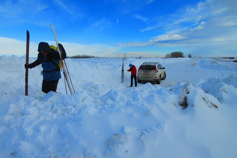
Sonny and Shaun get ready to ski at the end of the plowed road.

Photo courtesy of Zosia Zgolak

Crusty and icy snow already...this is gonna be fun!

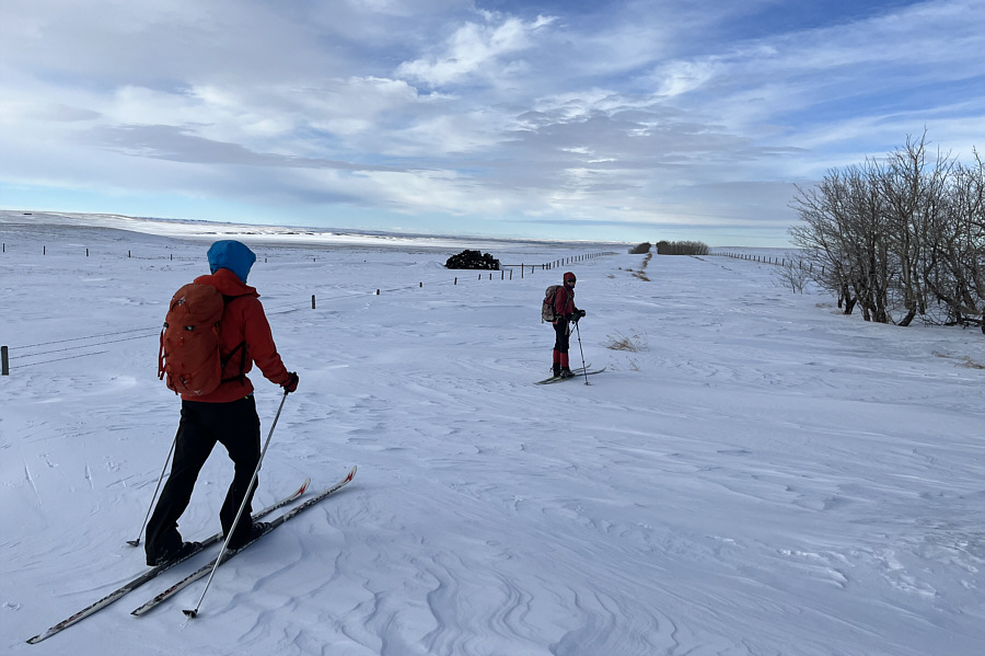
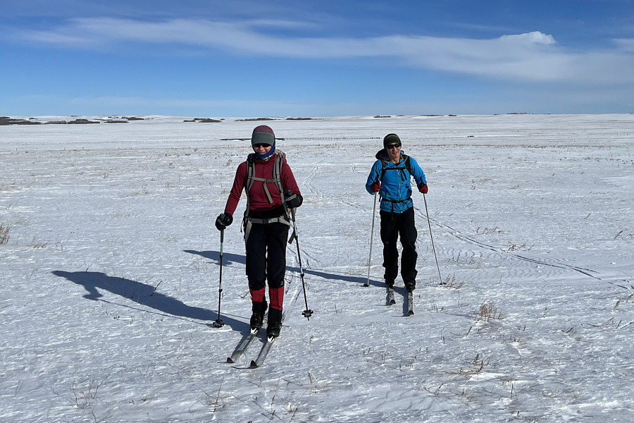
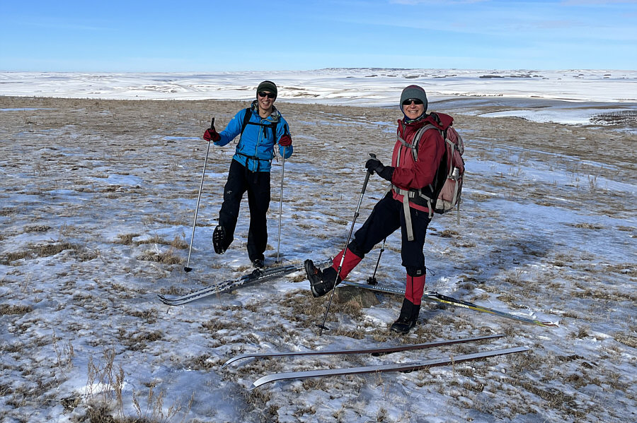
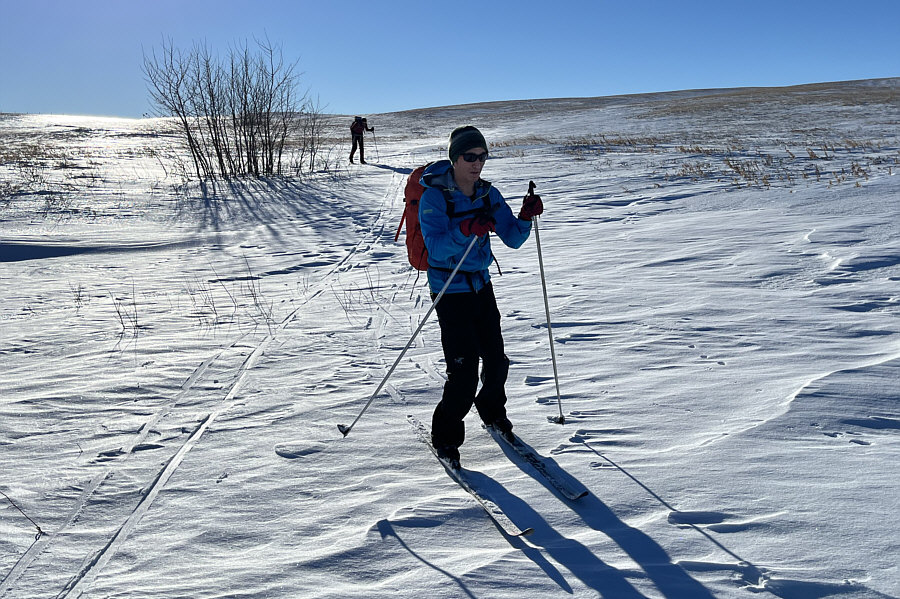
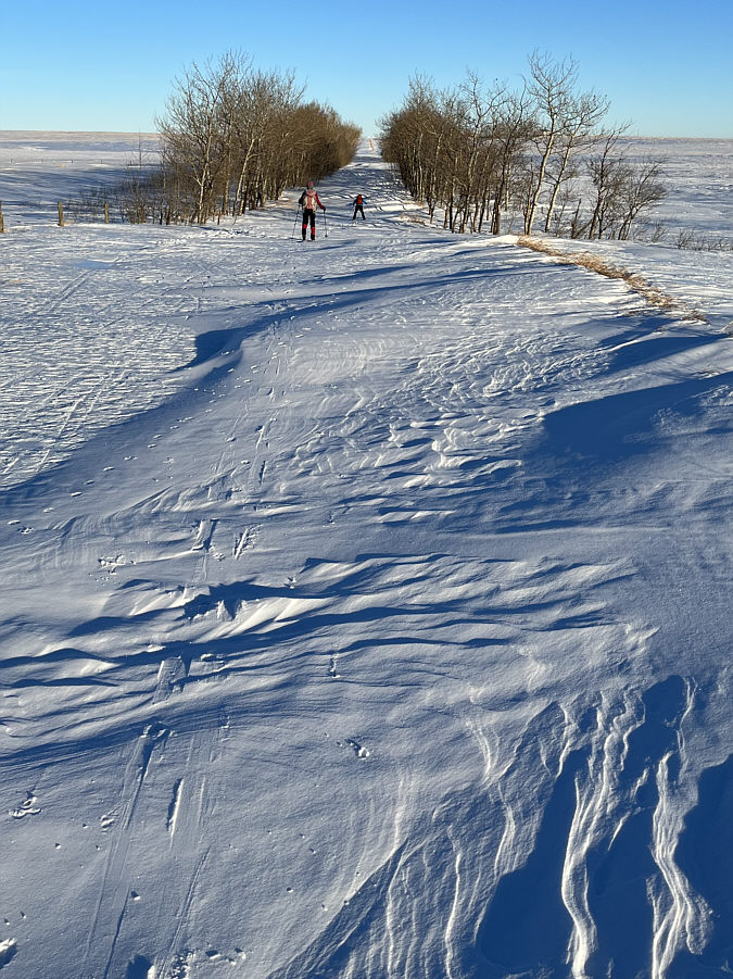
Shaun and Zosia ski westward along the continuation of the access road.

Ice skates might have worked better here!

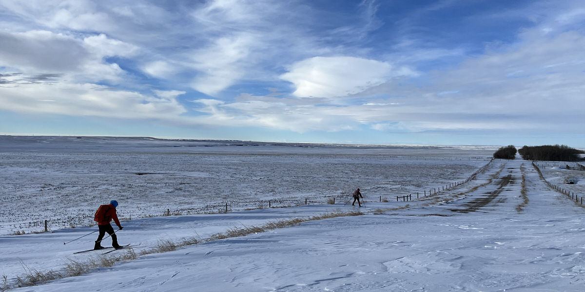
Shaun and Zosia cautiously descend a very icy downhill section along the access road.


Thumb Hill is 5.7 kilometres distant from here as the crow flies. 
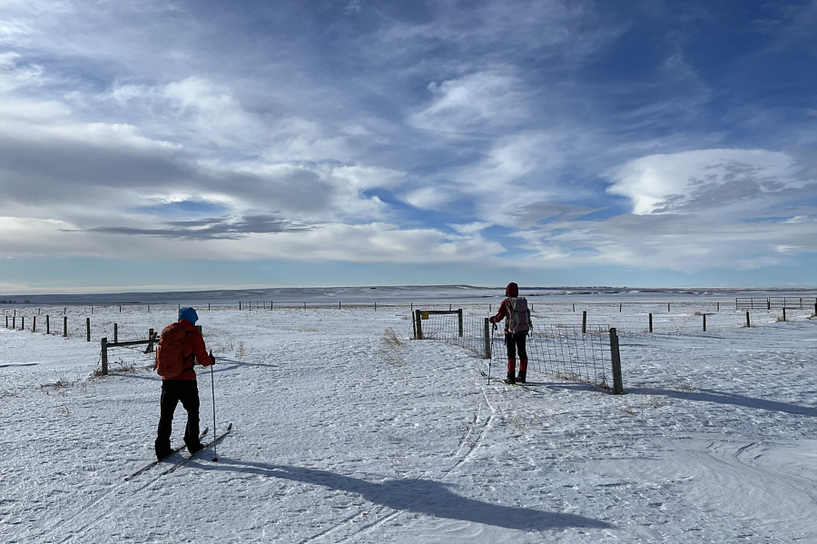
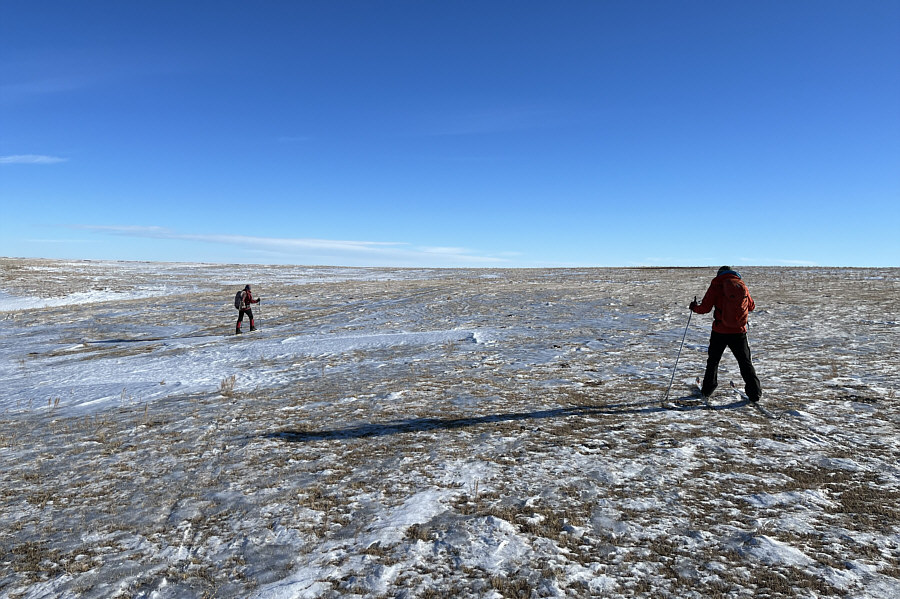
Shaun and Zosia reach the boundary of Hand Hills Ecological Reserve.  Thumb Hill is the very slight rise on the centre horizon.
Easiest climb of the day!

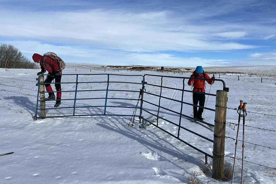
Although this gate near the ecological reserve boundary is not locked, it is stuck firmly in the icy snow and cannot be swung open on this day.

It would've been a real chore if we had to break trail through a non-supportive crust. 
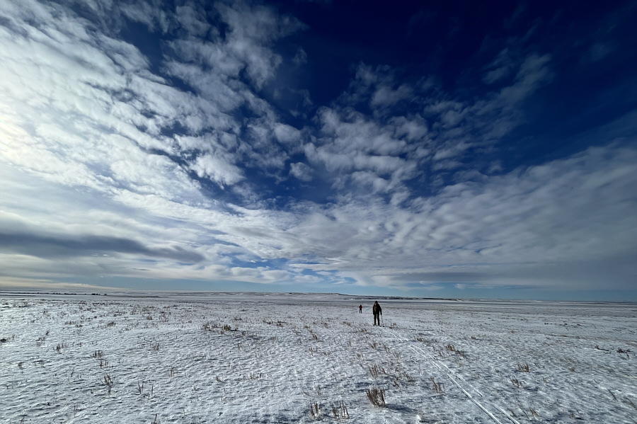
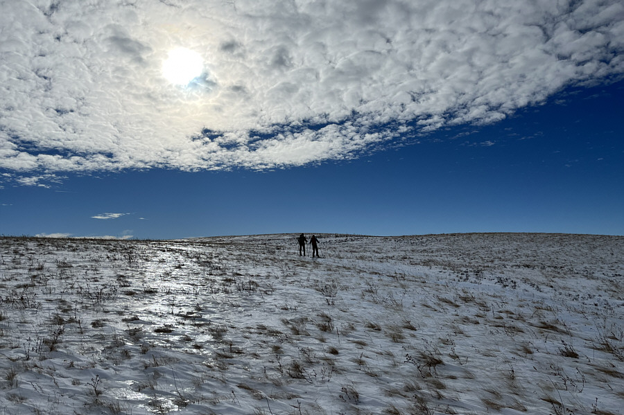
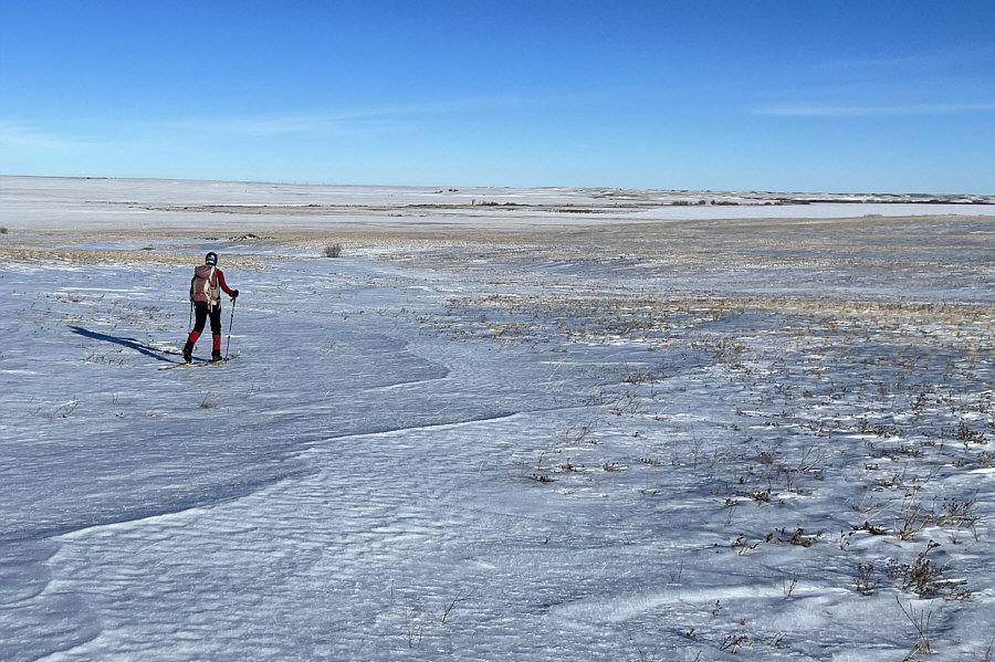
The icy snow is surprisingly supportive across the expanse of the ecological reserve.
Better than rock or ice climbing, Shaun?

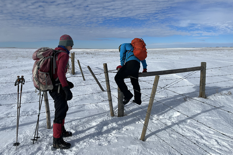
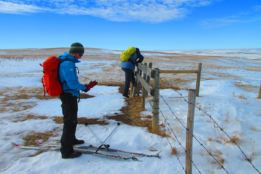
Zosia watches as Shaun carefully climbs over an intersection of barbed wire fences.

We're starting to climb uphill now...believe it or not! Barely visible in the distance behind Zosia and Shaun is a corral which is roughly the halfway point across the ecological reserve.
I think I'm getting good at this now!

Sonny hops over yet another barbed wire fence along the route.

Photo courtesy of Zosia Zgolak

Could have used some light touring ski crampons if there is such a thing!

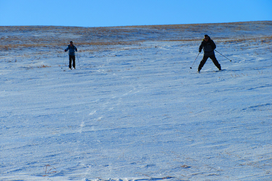
The reflection of sunlight on the ground illustrates how icy the terrain is on Thumb Hill.

No problemo! 
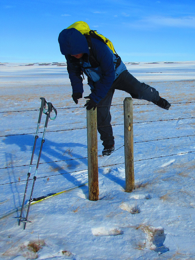
The wooden beams make this barbed wire fence a bit easier to climb over.

Photo courtesy of Zosia Zgolak

We're about 350 metres short of the high point here. With snow coverage getting thinner, Shaun and Zosia decide to ditch their skis and boot-pack the remainder of the ascent.
We're like three Fonzie's. Aaaayyyyyyy!! 
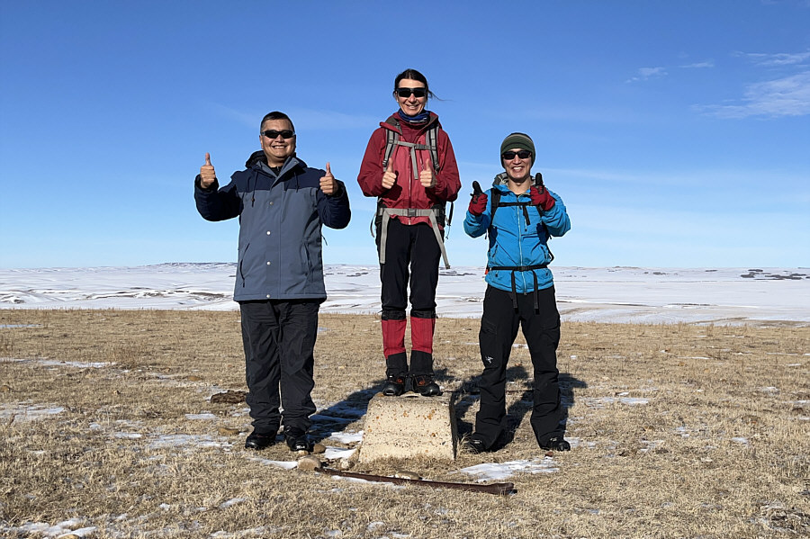
Sonny, Zosia and Shaun give full "thumbs up" on the high point of Thumb Hill (985 metres).  A survey benchmark is embedded in the concrete block that Zosia is standing on.
Wow, you could play soccer on top of Thumb Hill! 
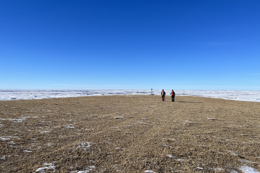
Zosia and Shaun continue west from the high point to a boundary marker for the ecological reserve.
There was one more straggler behind this bunch. 
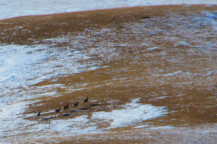
A herd of deer scamper away on the plain to the west of Thumb Hill.

Photo courtesy of Zosia Zgolak

The view is still sublime in my opinion.

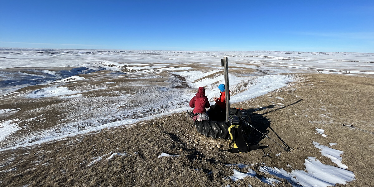
Zosia and Shaun enjoy lunch at the boundary marker.


Deceptively difficult skiing here! After collecting their skis, Zosia and Shaun retrace their tracks across the icy terrain on Thumb Hill.
It's kinda like the Aemmer Couloir! Zosia finds a shallow draw that provides a somewhat easier descent down the icy slopes.  Visible at distant right is Little Fish Lake.
Pizza turns! Shaun and Sonny ski down the aforementioned draw.

Photo courtesy of Zosia Zgolak

Best skiing of the day right here! Zosia follows Shaun down a surprisingly nice section of powdery snow.
Amazingly, we did not have a single clothing tear for all 8 fence climbs! All the barbed wire fences have to be climbed over again on the way back.
The return ski felt long! Zosia and Shaun ski out along the snow-covered access road.
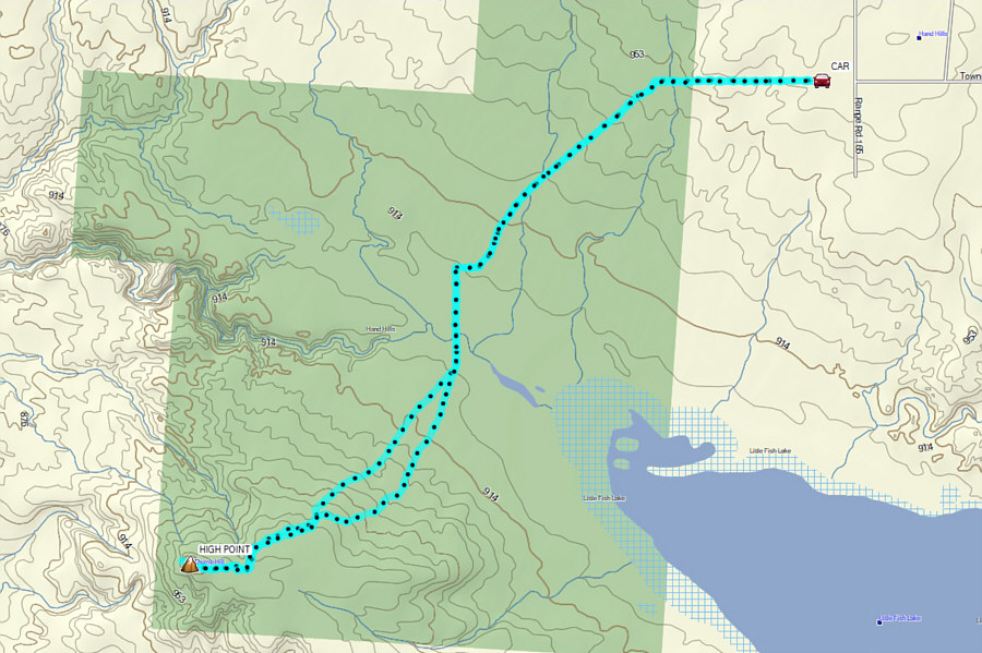
Possibly the first ever ski ascent of Thumb Hill? Total Distance:  16.0 kilometres
Round-Trip Time:  5 hours 54 minutes
Cumulative Elevation Gain:  ~160 metres

GPX Data