BOU AVENUE
Beehive Basin
On 27 December 2024, Zosia Zgolak and I
skied into Beehive Basin, a popular backcountry ski area adjacent to
Montana's Big Sky Resort. The basin is known for its abundance of
snow and offers a variety of terrain that would appeal to skiers of all
abilities. Probably the most challenging aspect of a winter visit
to Beehive Basin is the drive to the trailhead.
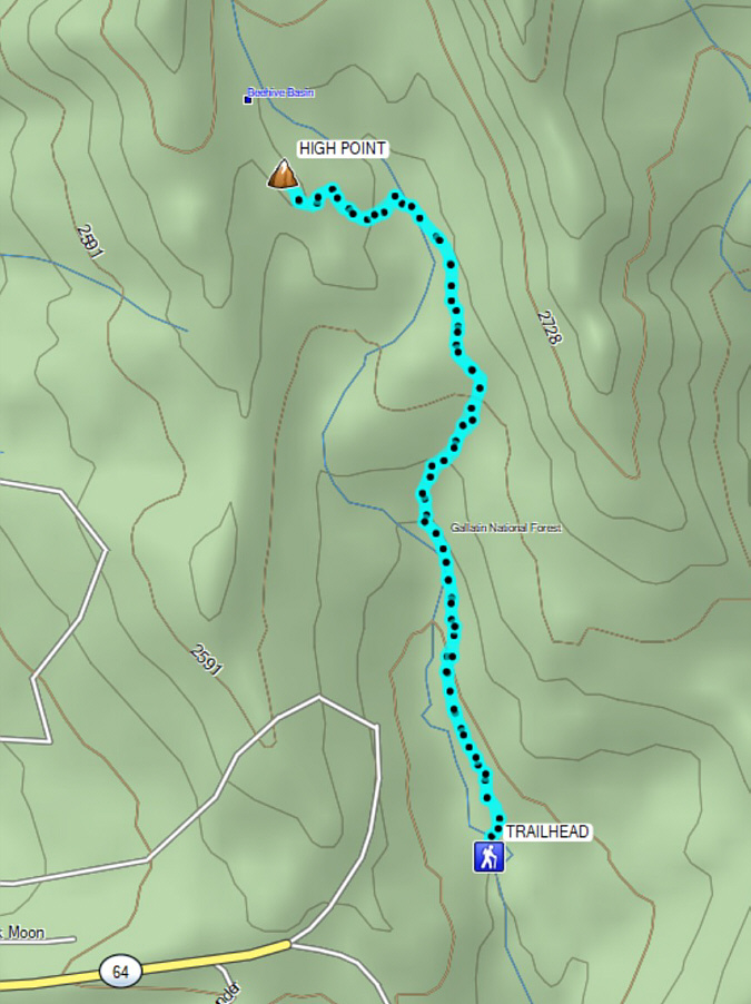
From US Highway 191, turn west onto Lone Mountain Trail (Highway 64),
63.4 kilometres north of the junction with US Highway 287 or 54.6
kilometres south of the junction with Montana Highways 84/85 (Four
Corners). Drive 16.3 kilometres and turn right onto Beehive Basin
Road. Drive 170 metres and keep right at the junction with Speaking
Eagle driveway. Drive another 1.7 kilometres and keep left at the
junction with Summit View Drive which is likely gated and inaccessible.
From this junction, the road descends steeply for the last 800 metres or
so to the trailhead, and although it is plowed, the road here can be
dangerously icy. An AWD/4WD vehicle or winter tires are strongly
recommended for this last hill. There are actually two trailheads
about 100 metres apart, and the eastern one has a vault toilet.
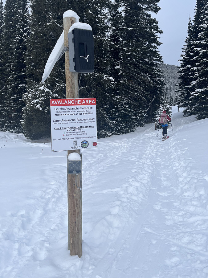
From the western trailhead, Zosia and I
followed a well-established skin track across a creek and past a
convenient avalanche beacon test station. For the next kilometre or
so, the skin track ran along a marked route which appears to be an
easement through private property even though the entire area is
technically within Custer Gallatin National Forest. Beyond the last
of the route markers and presumably past all private property, we began
to climb steadily into the upper basin. Options abound there with
the most enticing one being a steep ridge to the east, but we chose to
stick to fairly conservative terrain as we climbed up a gentle and mostly
forested ridge to the west.
Had the weather been better, Zosia and I
might have considered going deeper into the basin, but with snowfall
increasing, the uncertainty of the access road's condition began to weigh
heavily on our minds. Fearing that we might potentially be trapped,
we promptly skied back the same way to the trailhead without any issues.
As it turned out, we had no trouble driving back up the steep hill, but
the drive out Highway 64 was still a bit of a white-knuckled ordeal given
the icy road conditions. Fortunately, we made it back to drier
pavement without incident, but I am now eager to return in the future to
more fully explore this intriguing area.
This ridge is one of the prime spots in Beehive Basin
for finding steep turns.
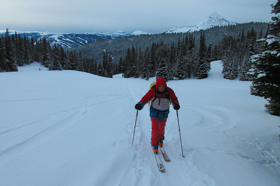 |
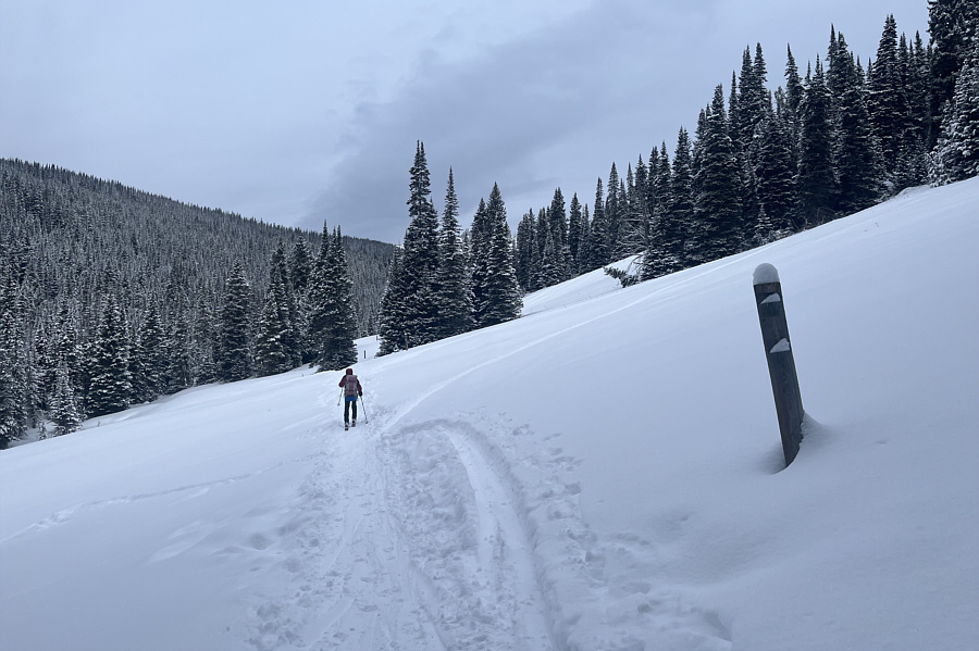
As Sonny proceeds into the upper basin, the ski runs of Big Sky Resort can be seen in the distance.
Photo courtesy of Zosia Zgolak |
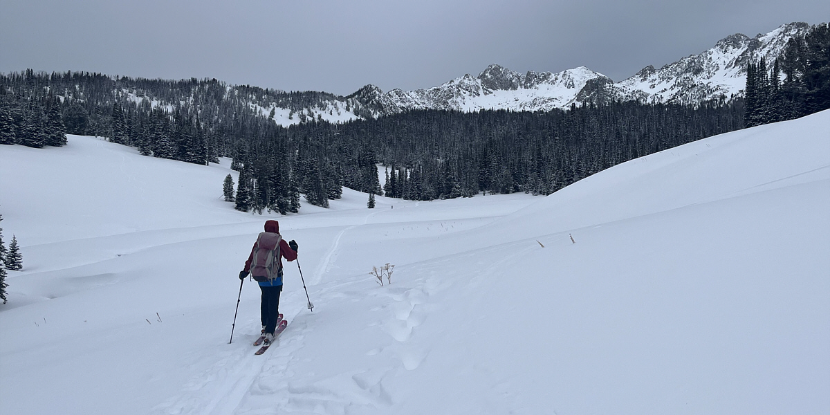
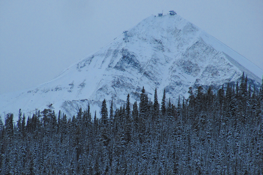
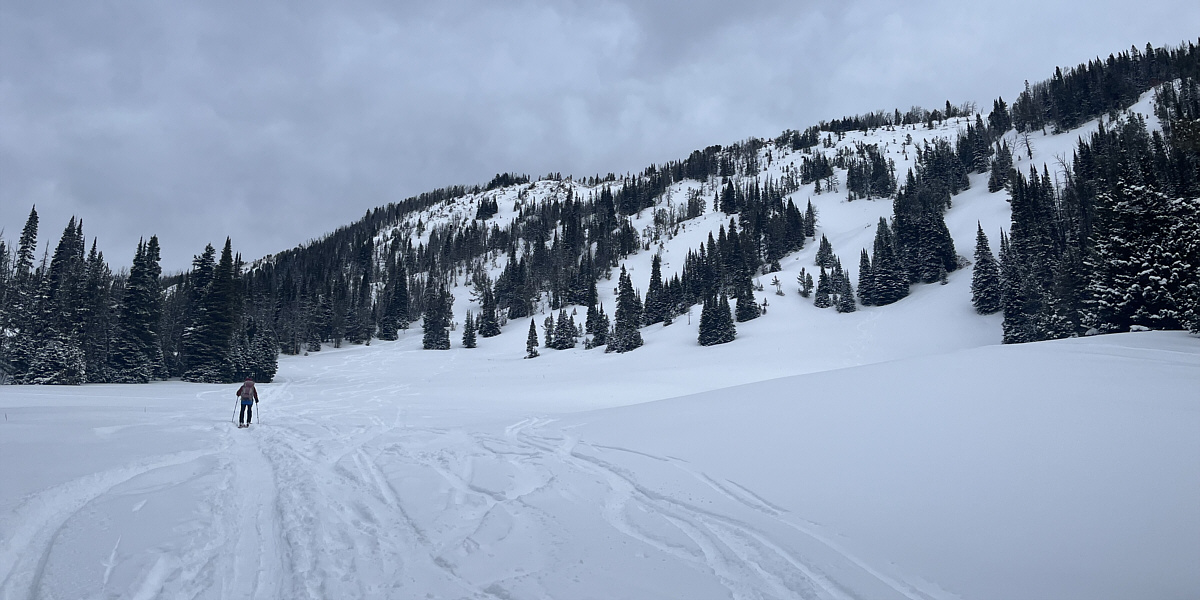
The back of Beehive Basin is ringed by rugged unnamed
peaks. Zosia would head for the forested ridge at far left.
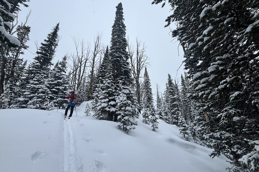 |
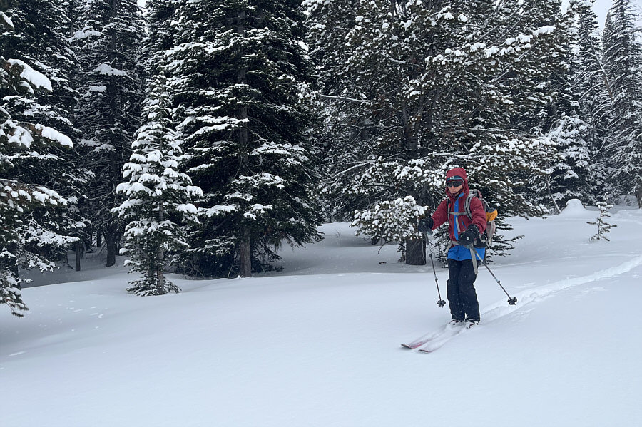
Zosia climbs up the forested ridge. |
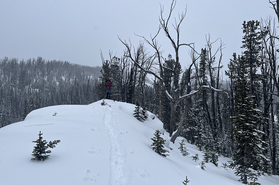 |
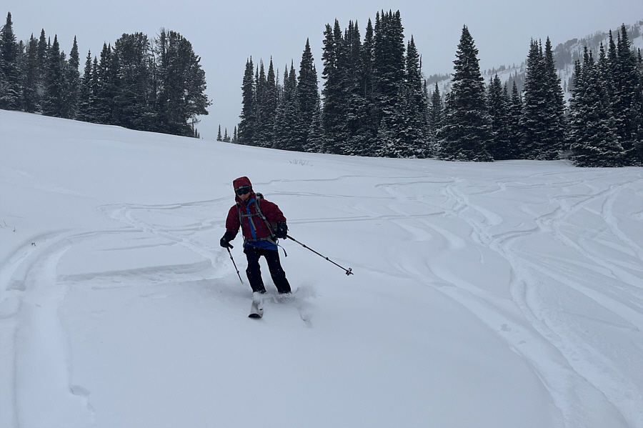
Zosia arrives at the high point (2695
metres) of the ski tour. |
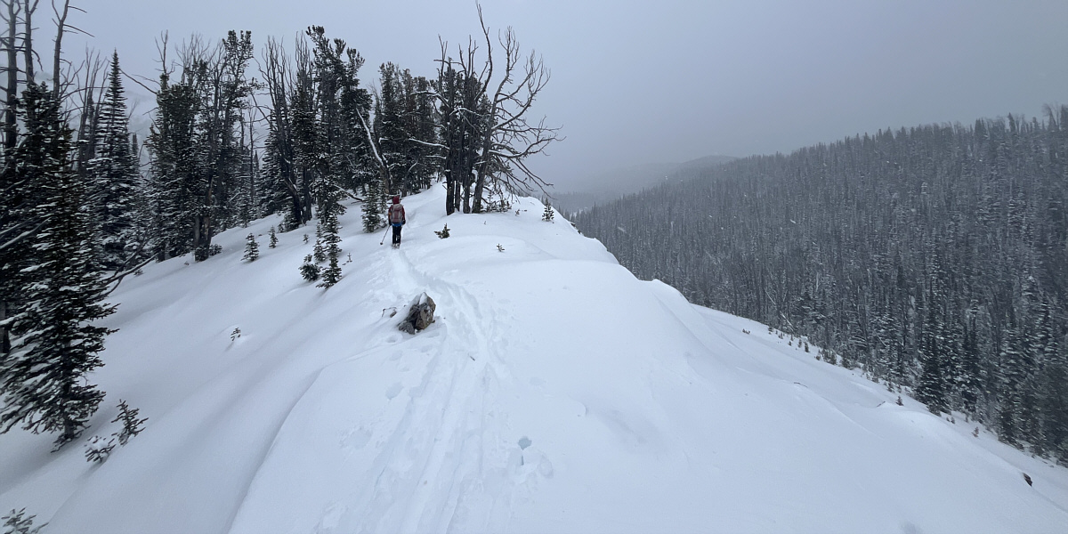
Zosia begins descending from the high point.