BOU AVENUE
Mount Attwood
On 15 July 2025, Zosia Zgolak and I ascended
Mount Attwood located west of Grand Forks, British Columbia.
Similar to other peaks in the vicinity, Mount Attwood looks like another
unremarkable forested hump, but I believe it is also the highest of all
the officially-named summits within the chunk of land between Grand Forks
and Greenwood which is bounded by Highway 3 on three sides and the
Canada-US border to the south. The mountain has attracted some
attention as evidenced by a couple of entries in
peakbagger.com,
and although it is probably possible to ascend it from a number of
different directions, the east ridge appears to be the most popular
route. We actually tried to hike the mountain earlier in the
spring, but lingering snow thwarted our attempt to drive up the southern
access via Gibbs Creek Road. This time we would drive from the
north via Phoenix Road and Lone Star Road, and although this approach is
longer, the roads are wider and less bumpy.
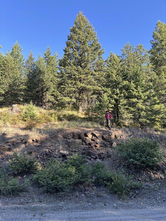
From Highway 3, turn east onto Phoenix
Road (2WD gravel) 14.9 kilometres west and north of the intersection with
Highway 41 near Grand Forks. Drive 4.4 kilometres to a 4-way
intersection. Although we did not take this short cut, turning left
here should connect with Lone Star Road in another 4.4 kilometres.
Instead, go straight and drive another 1.3 kilometres to the turnoff for
the ski resort on the right. Ignore the turnoff and continue
driving for 2.9 kilometres to a split. Keep left (right leads in
200 metres to a 4-way junction beside a cenotaph), and in another 100
metres, keep left again at a T-junction (49.09861, -118.59038) which is
the start of Lone Star Road. This T-junction can also be reached
from Greenwood to the west via the continuation of Phoenix Road.
Drive southward on Lone Star Road for 3.1 kilometres where the
aforementioned short cut joins in from the left. Keep driving south
for another 2.3 kilometres and keep left at a junction with Lind Creek
Road. Drive 3.0 kilometres further and park on the side of the road
(49.04752, -118.57373) where it begins to bend westward.
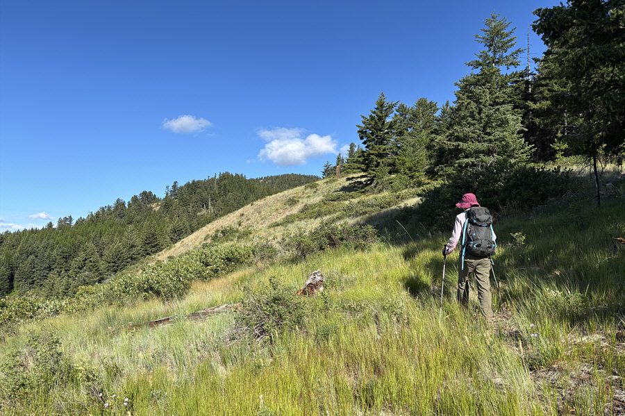
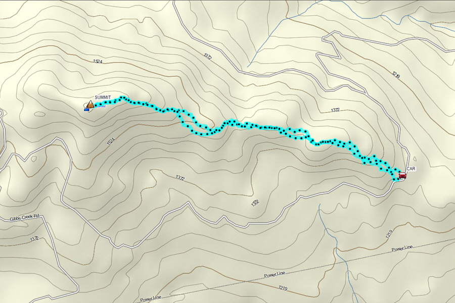
Right from where we parked, Zosia and I
immediately started hiking off-trail up the east ridge of Mount Attwood.
We stuck fairly close to the crest, and despite the lack of trails, the
bushwhacking was generally light allowing for relatively easy travel.
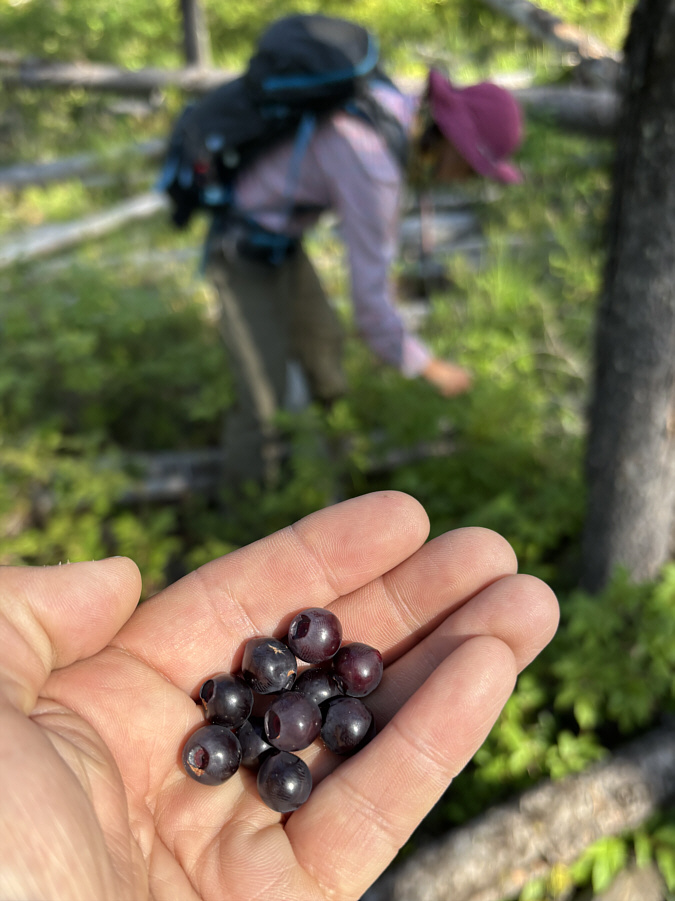
About halfway up, there is a slight dip where a lot of toothpick deadfall
has seemingly accumulated. There were also some ripe huckleberries
here, and I am not certain which slowed us down more. Fortunately,
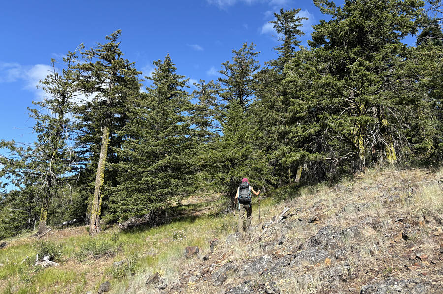
this section is short-lived, and we soon resumed climbing up the ridge at
a more normal pace. We eventually passed a scenic false summit and
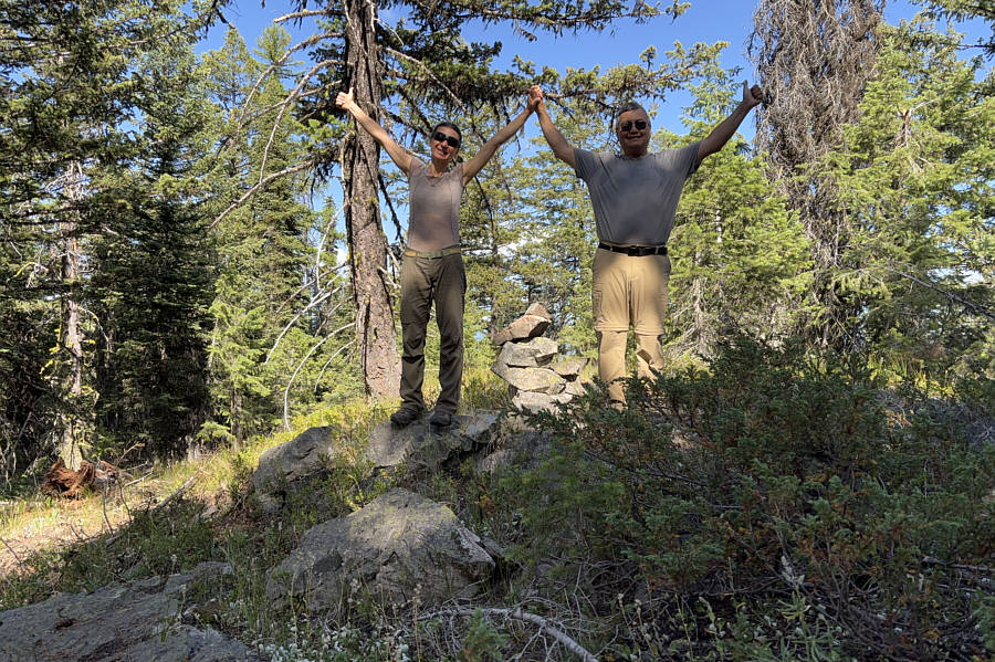
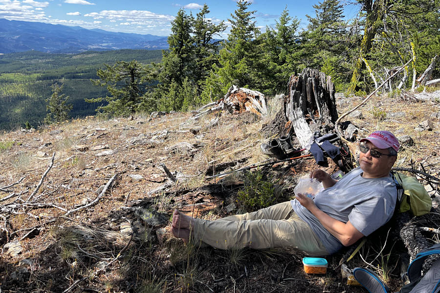
reached the viewless true summit shortly after. Once we tagged the
summit, we backtracked a little to a semi-open section of the ridge
before stopping for a break.
After our break, Zosia and I descended more
or less the same way we came. For awhile, we followed a flagged
route that we had somehow missed on the way up, but ultimately, we just
stuck to the ridge crest and tried to avoid thick bush as much as
possible. Near the end of the ridge, we deviated slightly from our
ascent route which resulted in a bit more thrashing than I would have
liked, but we ultimately popped out onto the road none the worse for wear
and not far from our car.
 |
Zosia begins hiking off-trail right
from the road. |
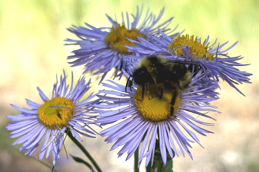 |
A bumblebee appears to be sleeping on a fleabane. |
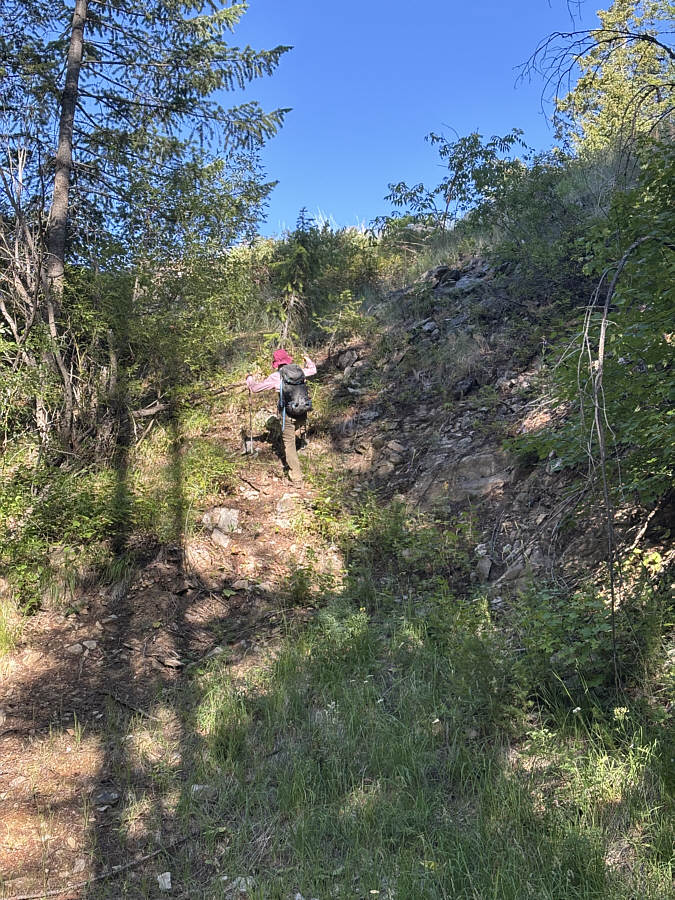 |
Zosia ascends one of the steeper
sections along the east ridge of Mount Attwood. |
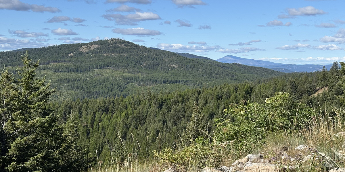
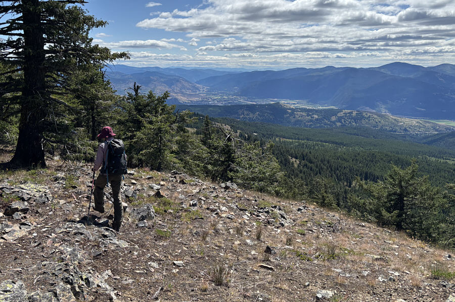
The next peak to the south is Mount Wright (left) which
is still on the Canadian side of the border. At distant right is
Mount Bonaparte which is on the US side (Washington state).