Photo courtesy of Zosia Zgolak
|
|
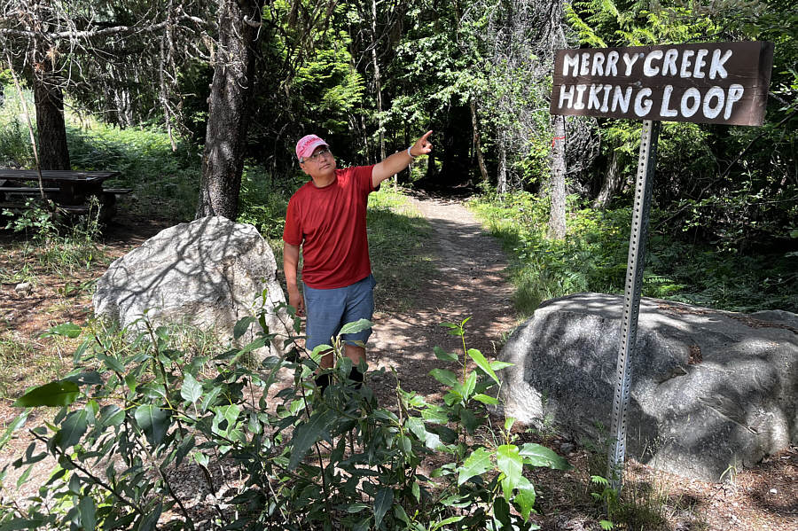
Sonny points out what he will be doing
for the next two hours. Photo courtesy of Zosia Zgolak |
|
|
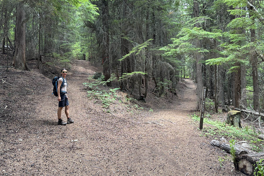
At a split, Zosia takes the left-hand "Big Cedar Trail". |
|
|
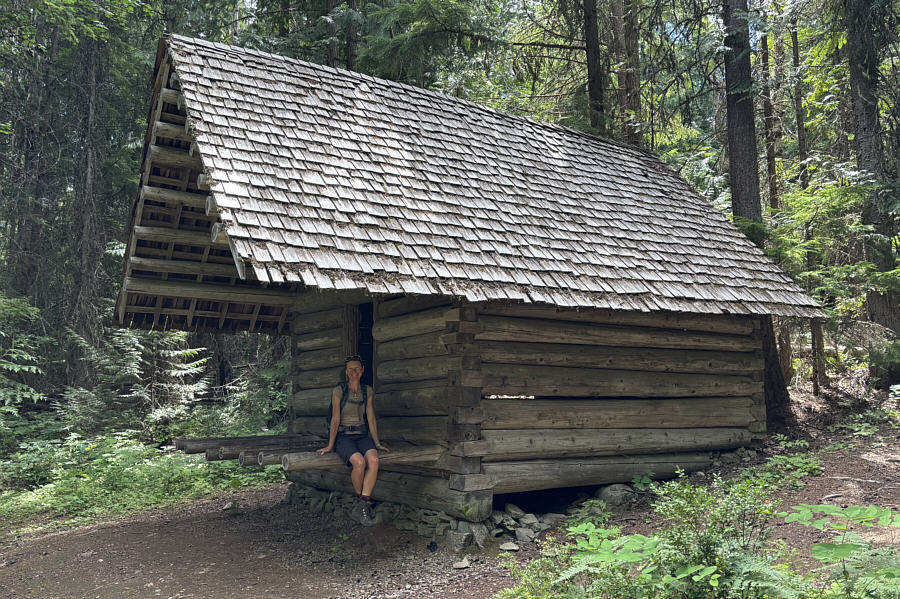
This rustic hut is located about halfway along Big Cedar Trail. |
|
|
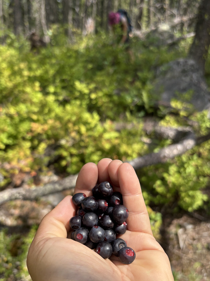
Ripe huckleberries can be found in the forest here. |
|
|
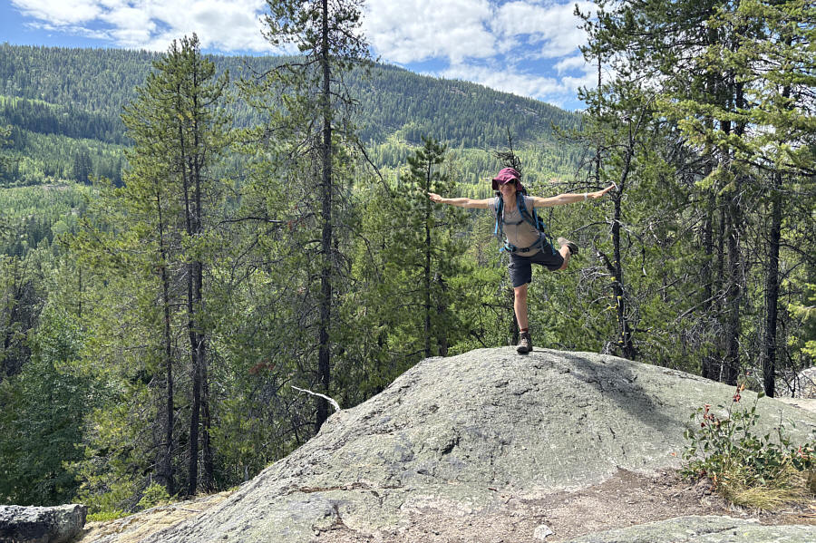
This rock outcrop is seemingly the high point (878 metres) of the hike. |
|
|
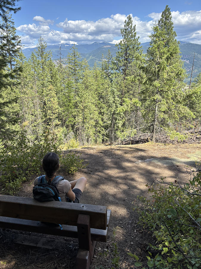
The views from this bench are somewhat disappointing. |
|
|
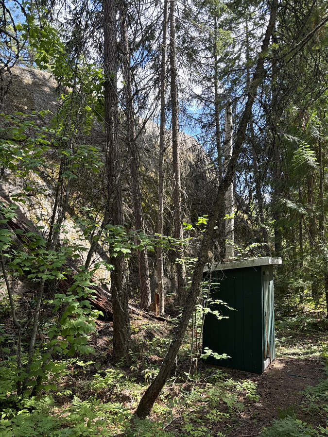
A convenient outhouse is situated at the base of another large rock outcrop. |
|
|
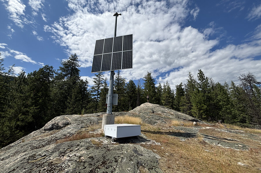
The rock outcrop above the outhouse has a big antenna with a solar panel. |
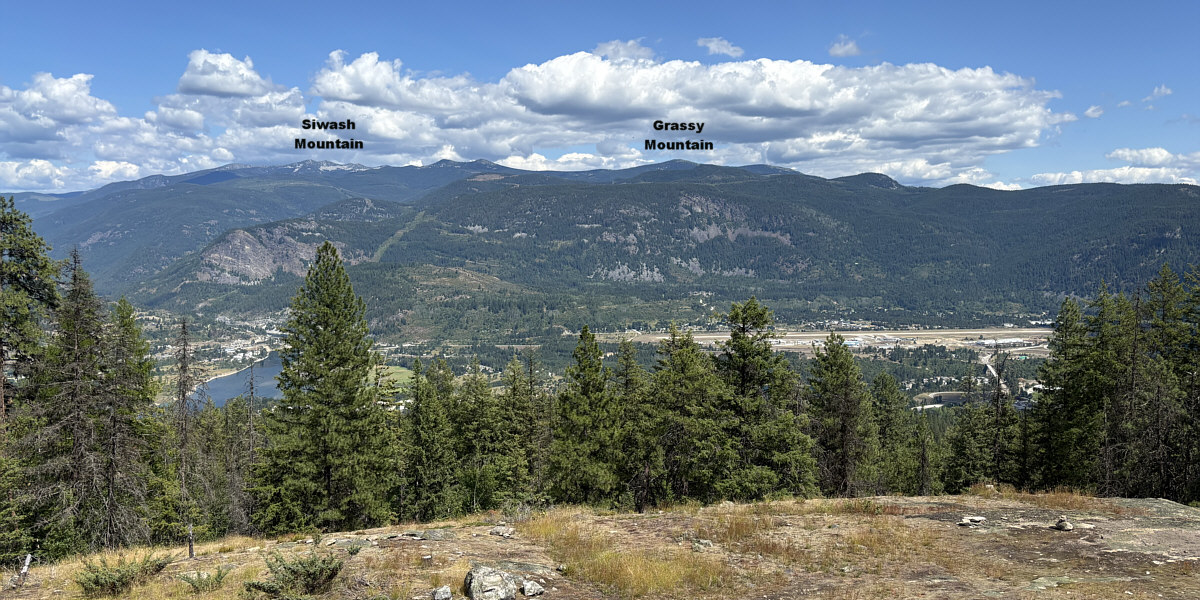
Parts of Castlegar and Columbia River can be seen from this viewpoint beside the antenna.
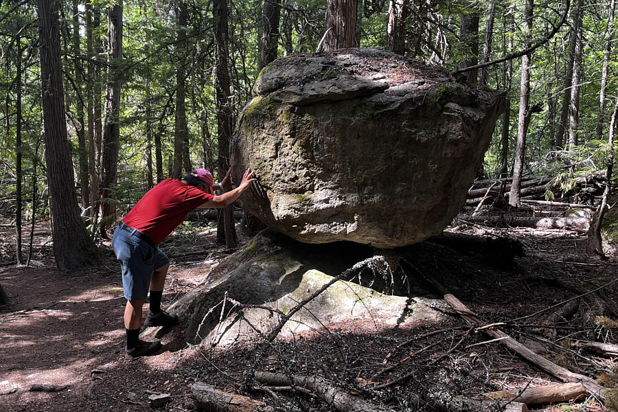 |
Sonny emulates
Sisyphus as he tries to
"unbalance" this balanced rock. Photo courtesy of Zosia Zgolak |
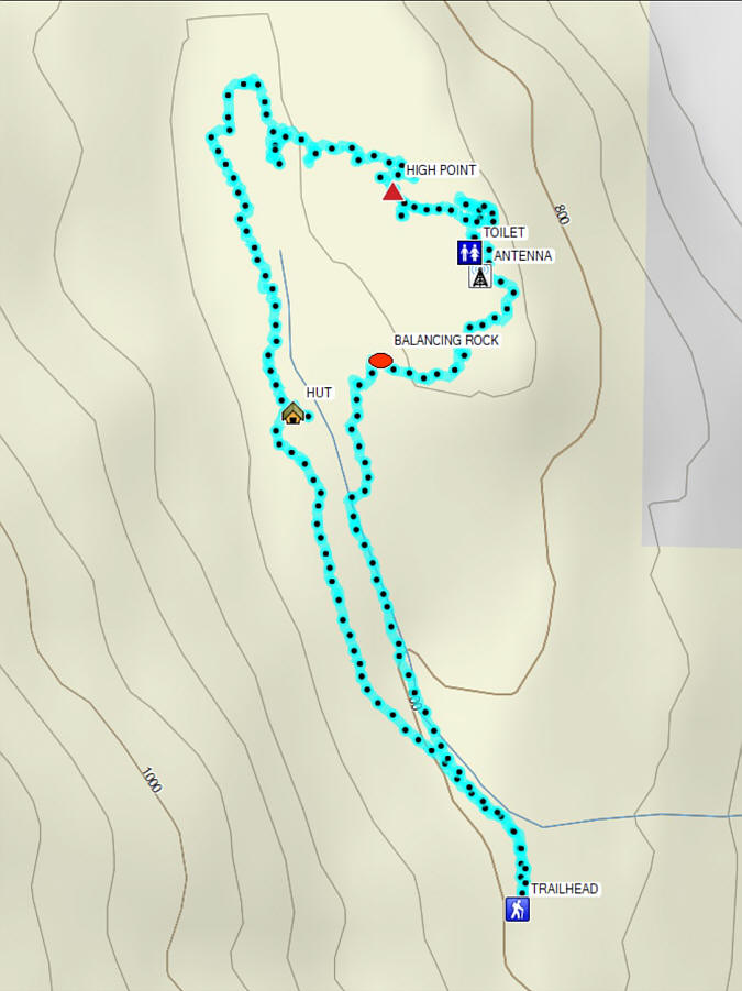 |
Total Distance: 5.9 kilometres Round-Trip Time: 1 hour 52 minutes Cumulative Elevation Gain: 87 metres |