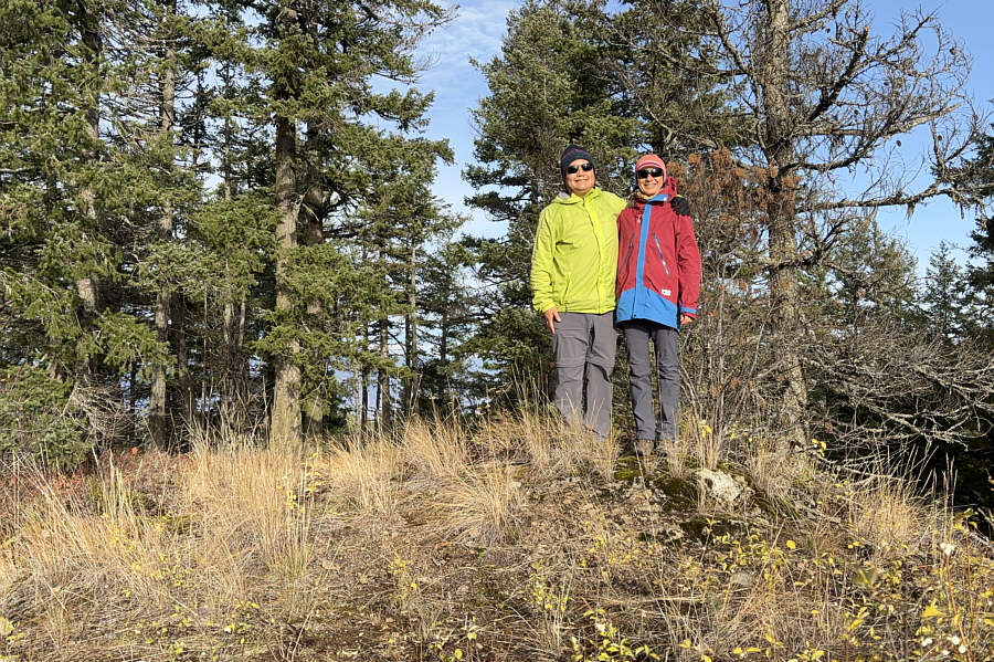
Sonny and Zosia stand on the high point of Tappen Bluffs (870 metres).
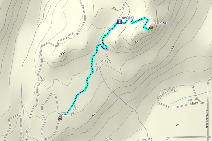
Round-Trip Time: 2 hours 7 minutes
Cumulative Elevation Gain: 231 metres
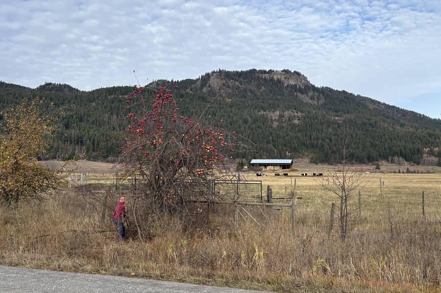
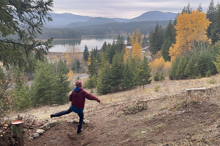
Photo courtesy of Zosia Zgolak
|
|
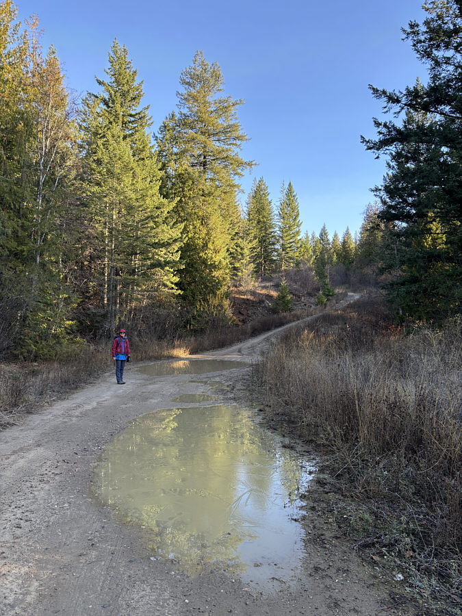
Zosia avoids a couple of big mud holes along the logging road at the start of the hike. |
|
|
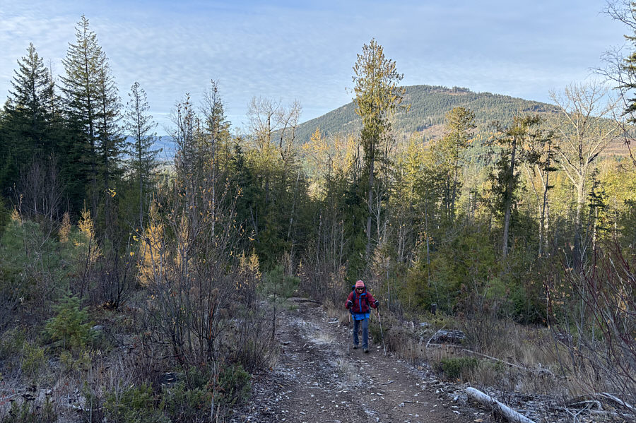
Mount Hilliam rises in the background as Zosia hikes along the logging road. |
|
|
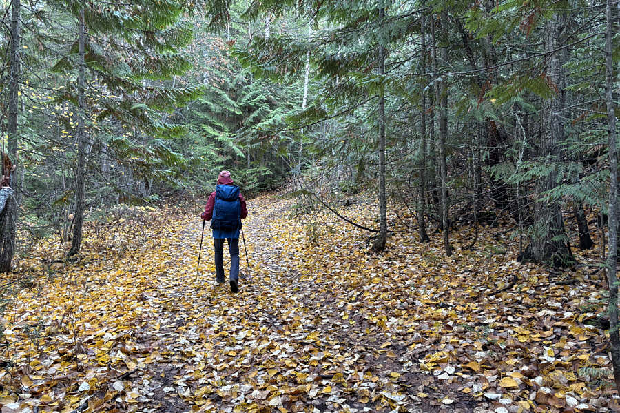
Zosia walks across a carpet of fallen leaves under a canopy of cedar branches. |
|
|
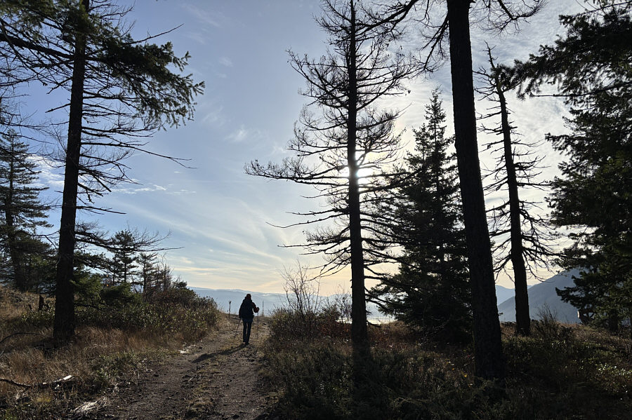
Zosia approaches the top of Tappen Bluffs. |
|
|
Sonny and Zosia stand on the high point of Tappen Bluffs (870 metres). |
|
|
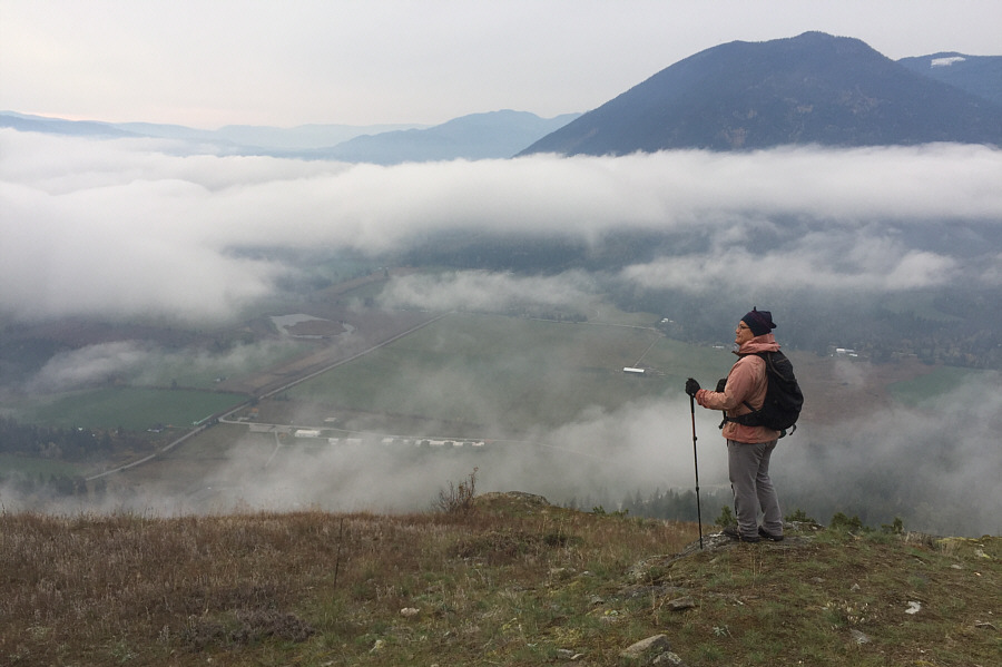
The view to the southeast includes Tappen Bay (Shuswap Lake) and Mount Tappen (right). Click on the photo for a view from roughly this same spot on 7 October 2018. |
|
|
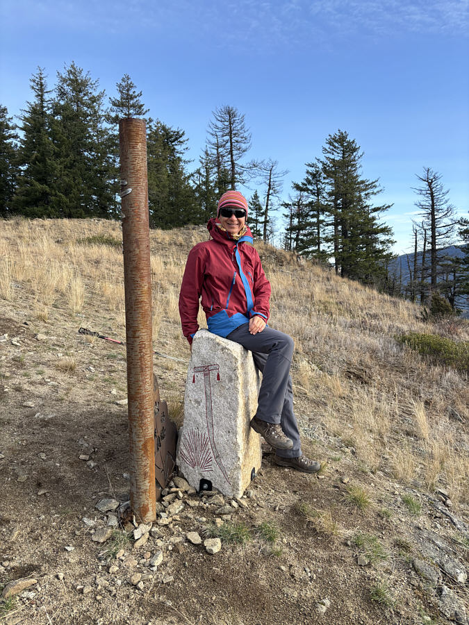
Near the top of Tappen Bluffs are a pair of First Nations art installations. One is a metal pole resembling the trunk of a birch tree with holes identifying distant landmarks. The other is a white "Coyote Rock" with etchings on all sides and a scooped top which appears to invite someone to sit on it. |
|
|
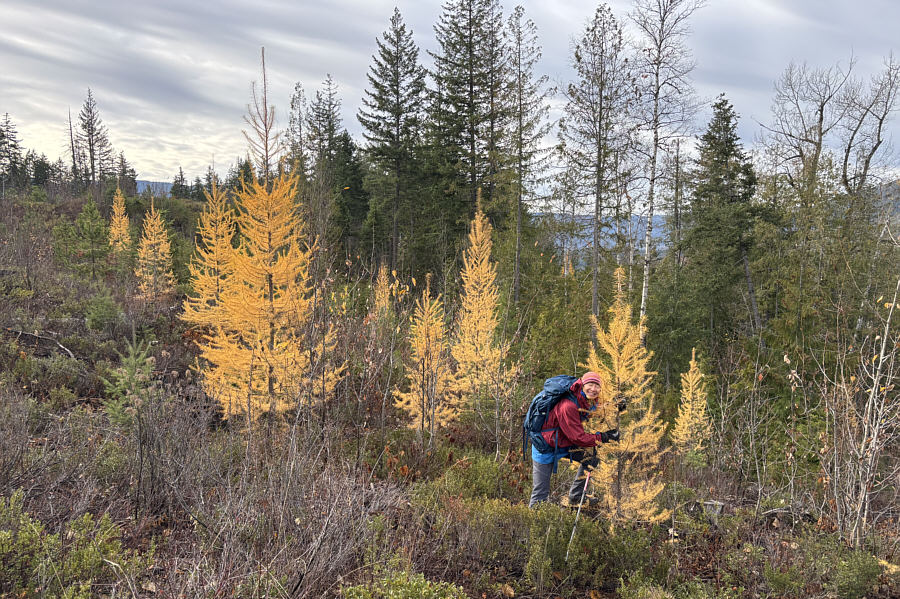
Zosia hugs a larch tree on the return trip. |
|
|
Total Distance: 5.8 kilometres Round-Trip Time: 2 hours 7 minutes Cumulative Elevation Gain: 231 metres |
|
|
Tappen Bluffs are visible in the background as Zosia stops to pick some apples on the side of Skimikin Road. |
|
|
Zosia throws a disc at Turtle Ridge Disc Golf Course. Tappen Bluffs are on the shadowy ridge at distant centre behind Little White Lake. |
|
|
Multiple eagles can be spotted on
these two trees along Thompson River. Photo courtesy of Zosia Zgolak |
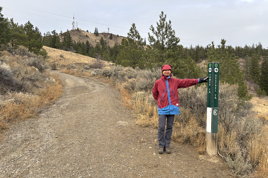 |
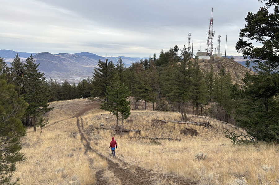
Zosia will follow "Tower Trail" to the top of Dufferin Hill which is visible behind her. |
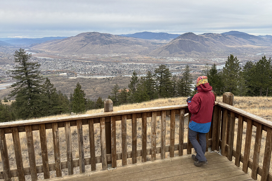 |
Just below the top of Dufferin Hill is a wooden deck which serves as a viewpoint overlooking the city of Kamloops. |
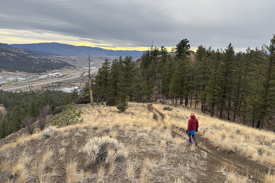 |
Zosia bypasses the high point of Dufferin Hill and heads for an outlier to the west behind the trees. |
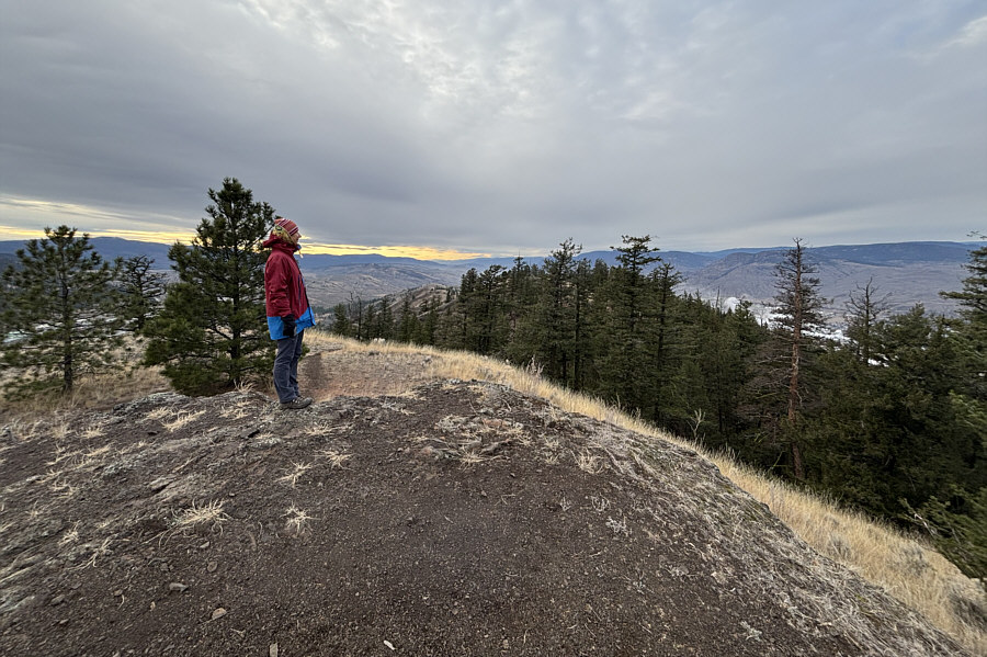 |
Zosia stands atop the outlier (876 metres). |
 |
Zosia descends from the outlier and heads back toward the high point of Dufferin Hill which is cluttered with telecommunications infrastructure. |
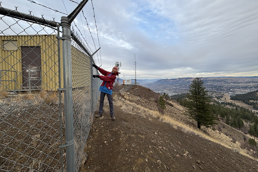 |
Zosia stands as close as she can legally get to Dufferin Hill's true high point (slightly higher than 876 metres) which is on the other side of the fence. |
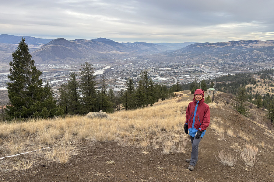 |
The east side of the high point has probably the most comprehensive view of the city. Note the wooden deck of the viewpoint lower down behind Zosia. |
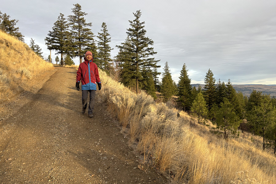 |
Late day sunshine illuminates the grasses on the hillside as Zosia descends Dufferin Hill. |
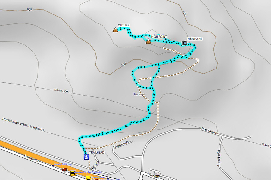 |
Total Distance: 3.7 kilometres Round-Trip Time: 1 hour 13 minutes Cumulative Elevation Gain: 173 metres |