


Our ascent of Stanley Peak was very enjoyable and problem-free. As Dave already noted in his trip report, the scrambling here is only moderately difficult, and there are no serious route-finding issues. Bob and I tagged the summit at 12:25 PM and were thankful for the gloriously clear views in all directions. A leisurely descent had us back at our camp by 3:07 PM. We then took a short break before packing up our camping gear under the hot afternoon sun. By 3:49 PM, we began the long arduous journey back out Haffner Creek. Although we now knew what to expect and were a little more mentally prepared, the bushwhacking was no less aggravating. Among the most annoying things we had to thrash through were these curved, blackened stakes protruding about three to five feet from the ground and tapering off to a pointy end that sported several nasty barbs. On one particular occasion, one of these things got snagged in the crotch of my stretchy pants, and I was in such an awkward position that I simply could not untangle myself. I asked Bob for some assistance, and after telling me to bend over, he quickly added that he never imagined he would be saying something like that to another man in his life! It was a classic Bob Parr quip.
We eventually had to climb up the slope to bypass the canyon at the
mouth of the valley, but rather than following the winding loops of
Marble Canyon Campground, we endured a little more bushwhacking alongside
Haffner Creek until we regained the gravel road we had originally started
hiking on the day before. Back at my car at 8:15 PM, we were weary,
sore, and thankful to be leaving Haffner Creek behind us for good.
|
|
This is looking up the relatively easy south face of Stanley Peak. Bob and Sonny would ascend the rib on the left and eventually descend the adjacent gully to the right. |
|
|
Bob descends a stone staircase to access the hanging valley just south of Stanley Peak. |
|
|
Bob takes a break on the lower slopes of Stanley Peak. |
|
|
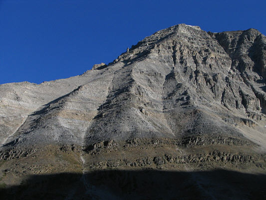
Here is a close-up view of Mount Ball from the lower slopes of Stanley Peak. Sonny's glissade tracks from the previous day are visible. |
|
|
The terrain is a little more challenging on the upper mountain. |
|
|
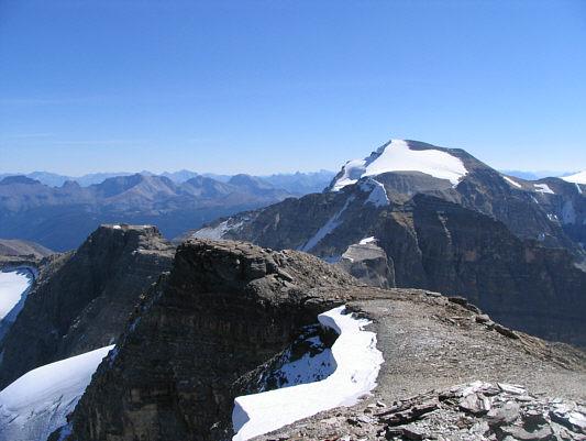
The Rockwall is visible to the west. |
|
|
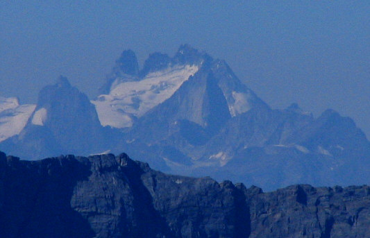
This is a zoomed-in shot of the Howser Spire Massif in the Purcell Range. The north tower (3398 metres) is the highest summit in the Bugaboos. |
|
|
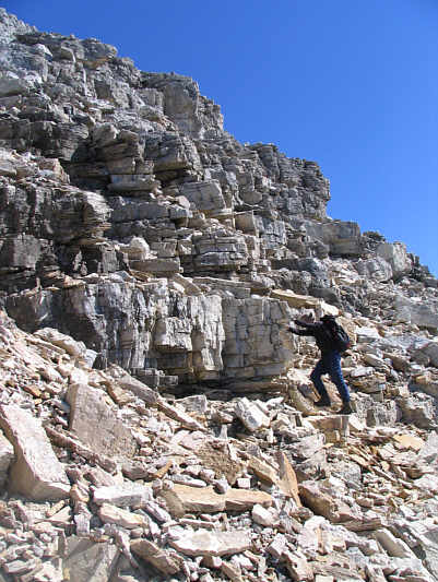
Bob ascends typical terrain on the upper slopes. |
|
|
Bob takes the last few steps before the summit. |
|
|
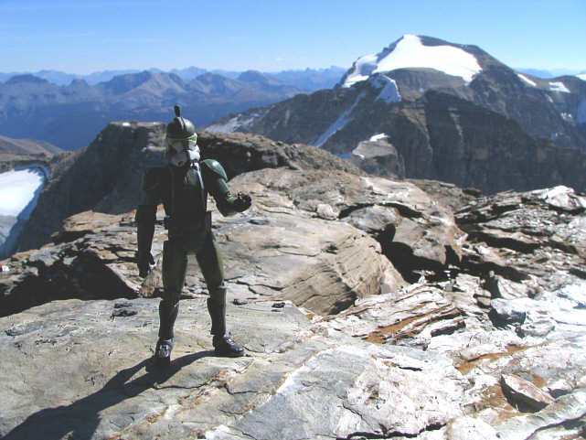
Bob and Sonny show off the register at the 3154-metre summit of Stanley Peak. |
|
|
This is looking southeast toward Mount Ball. Also visible at left are Pilot Mountain, Mount Brett and Mount Bourgeau. |
|
|
The Goodsir Tower and glaciated Mount Vaux attract the most attention to the west. |
|
|
A sea of peaks stretch away to the north. At right in the foreground is Mount Whymper. Behind it is Mount Temple. |
|
|
Storm Mountain looks bone-dry to the northeast. |
|
|
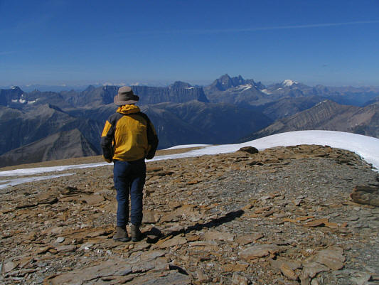
Bob pauses to admire the view to the west before turning his attention to the descent. |
|
|
Bob carefully picks his way down the upper mountain. |
|
|
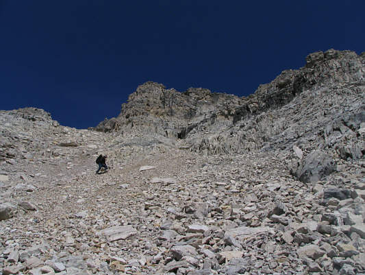
This is near the top of the broad descent gully. |
|
|
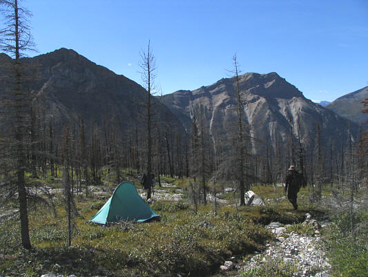
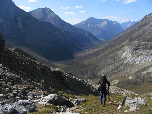
Bob returns to the bivouac site. |
|
|
Here is one last look at Mount Ball (centre) from the bivouac site. |
|
|
Bob begins to descend the headwall. |
|
|
Bob bushwhacks. |