BOU AVENUE
Limestone Mountain
Feeling a bit of cabin fever on 23 May 2008, I headed out to Kananaskis Country in the afternoon for a scramble up lowly Limestone Mountain in spite of the dismal weather.  Instead of starting from Rocky Creek as per Andrew Nugara's route description, I parked my car about two kilometres further north where Limestone Mountain's west ridge descends to the highway.  Having seen cars parked here in the past, I surmised that the west ridge route was likely both feasible and well-trodden.  As it turned out, the route is mostly hiking with some light bushwhacking and occasional hands-on scrambling.  Snow patches made some of the steeper and narrower sections of the ridge more challenging on this day, but the worst thing for me was the steady rain and the lack of views due to low clouds.  On my descent, I veered a little too far south of the west ridge (I need to get a GPS!) but still managed to descend open slopes to the highway without much trouble.  A short walk along the highway had me back at my car after a round-trip time of less than 4 hours.

I would return for a second ascent under much nicer weather conditions in 2021.
Unfortunately, this would be the best view of the day. 
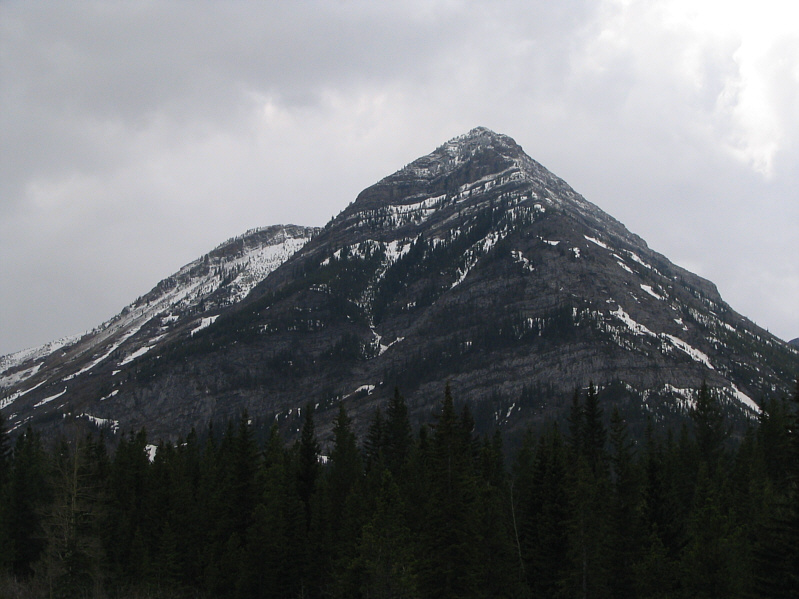
This is Fortress Ridge as seen from where Sonny parked his car.
It looks like a biffy, but it's not. 
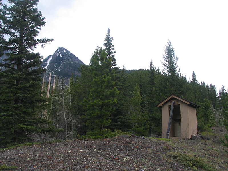
There is an empty hut near the bottom of the west ridge.  Limestone Mountain is visible through the trees.
The crux on this day was somewhere at lower right. 
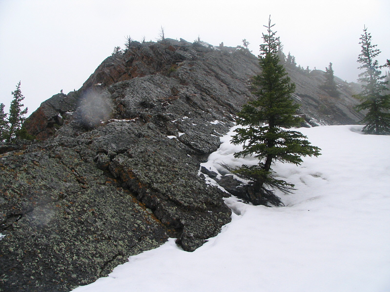
Here is a closer look at the upper part of Limestone Mountain's west ridge.
Doesn't look as steep as the previous photo! Here is another perspective of Limestone Mountain's west ridge.
Please excuse the raindrops on the lens!! This is typical terrain on the upper part of the west ridge.
The weather sure sucks today! Sonny stands on the 2166-metre summit of Limestone Mountain.