BOU AVENUE
Mount Roche
On 4 July 2009, Dinah Kruze, Bob Spirko and I drove down to the Castle Crown Wilderness area of southwest Alberta to scramble up Mount Roche (also known as Spread Eagle Mountain), the unofficially named eastern high point of Spionkop Ridge.  Dinah and Bob had previously attempted this peak from the east but were thwarted by difficult cliff bands.  Andrew Nugara would later successfully complete a traverse of Mount Roche which is described in his More Scrambles In The Canadian Rockies guidebook.  For this attempt, Bob suggested that we go up Nugara's descent route which entails hiking up an obvious drainage west of the peak and slogging up large scree slopes to a hanging valley just below the ridge crest.  From there, it would be a simple matter of following the ridge eastward up to the summit.  This turned out to be just as easy as we expected, and despite a rather lengthy and boring approach along the gas well access road, we encountered no difficulties throughout the ascent.  Threatening thunderstorms prompted us to cut short our summit stay, but as we returned to the point where we initially gained the ridge crest, the skies began to clear out nicely.  With extra energy to spare, we decided to go tag the striking high point (GR149551) further west along the ridge.  Near the top, we were quite surprised to see a series of pinnacles as well as some jaw-dropping cliffs.  While Dinah decided to stay put at the pinnacles, Bob and I scrambled further along the ridge to a slightly higher bump before turning around.  Both Bob and I agreed that the scrambling along this section of ridge was the highlight of the day.  After rejoining Dinah, we all made a quick descent into the hanging valley before retracing our steps back to the access road.  Our round-trip time was about 9 hours, and we capped a nice day out by devouring burgers and onion rings and guzzling soda pops at the A&W in Pincher Creek.  Oh yeah!

Check out Bob's trip report here.
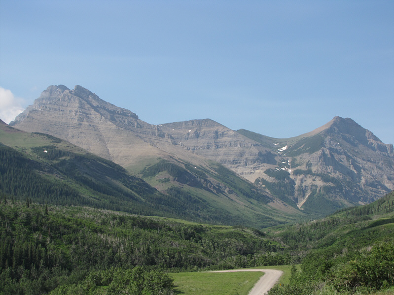
Hmm...I wish I had brought my bicycle... From the access road gate, this is the view of Mount Roche (left) and GR149551 (right).
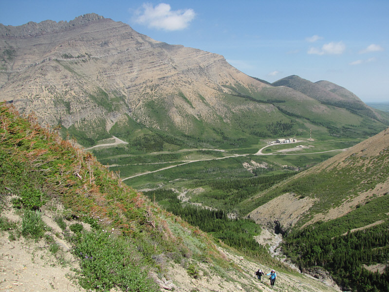
The best thing is there is no bushwhacking! This is Nugara's descent route in reverse.
Note the gas well buildings--there was somebody working there on this day. Bob and Dinah climb out of the drainage.
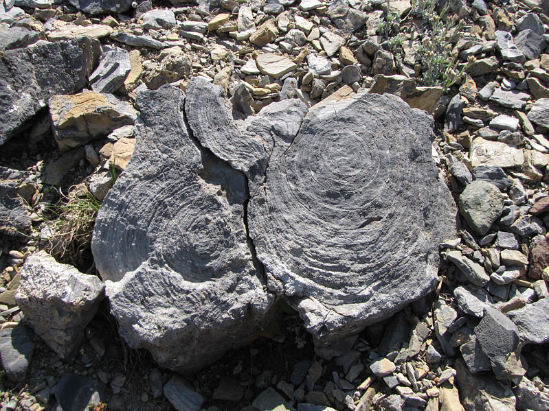
Maybe petrified tree trunks? Here are a couple of pieces of rock with concentric rings.
Completely avoidable, but a nice diversion anyway! Bob scrambles up some rocks.
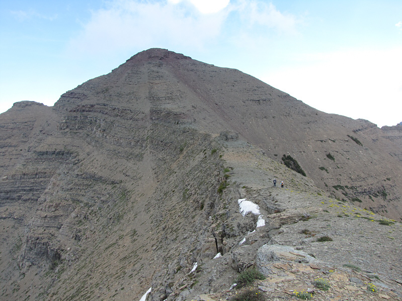
This side of Mount Roche is much tamer. Bob and Dinah head east along the ridge crest toward Mount Roche.
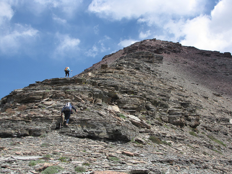
The scree on the flanks are more useful on descent. The final climb up to the summit is both easy and delightful.
Dinah's lame excuse was that her pack was too big! Dinah tries unsuccessfully to squeeze through a crack in the rock band.
Mosquitoes were terrible up here! Sonny, Dinah and Bob stand on the 2489-metre summit of Mount Roche.  GR149551 is visible just behind Sonny.
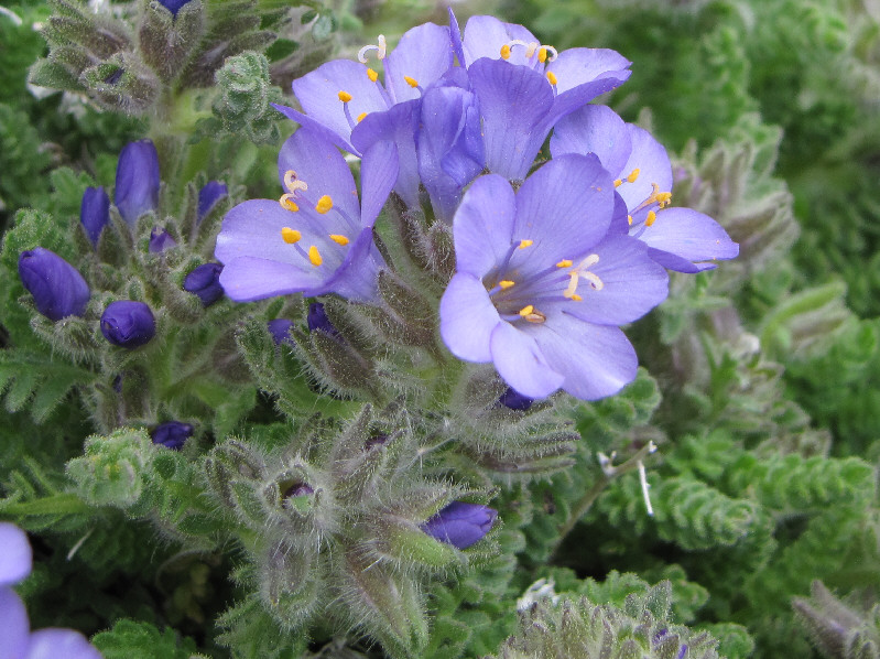
Here's my token flower/macro shot. Here is a close-up of some Jacob's Ladder.
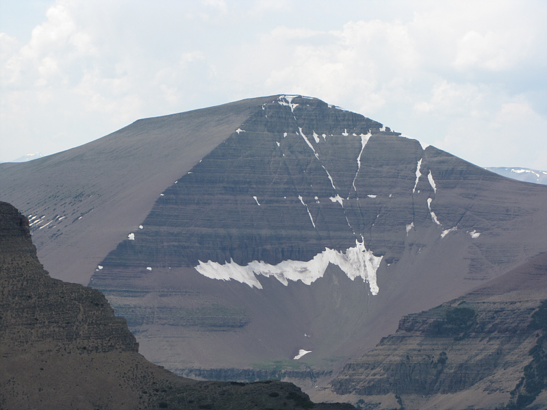
That's a big loaf! Loaf Mountain is visible to the west.
The summit views were a little disappointing. Rain begins to fall as Bob leaves the summit.
The rain was short-lived.  Unfortunately, the mosquitoes weren't! Dinah retraces her steps along the ridge.  The dark knob on the horizon is Chief Mountain.
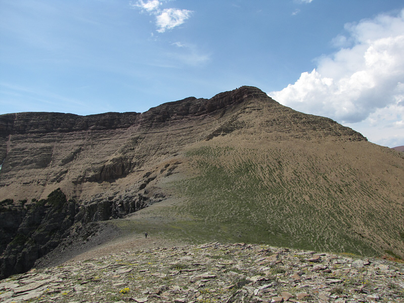
It's an easy ascent, at least to the first high point. This is GR149551 as seen from the connecting ridge to Mount Roche.
We really lucked out with the weather on this day. Some thunderheads develop to the east of Mount Roche.
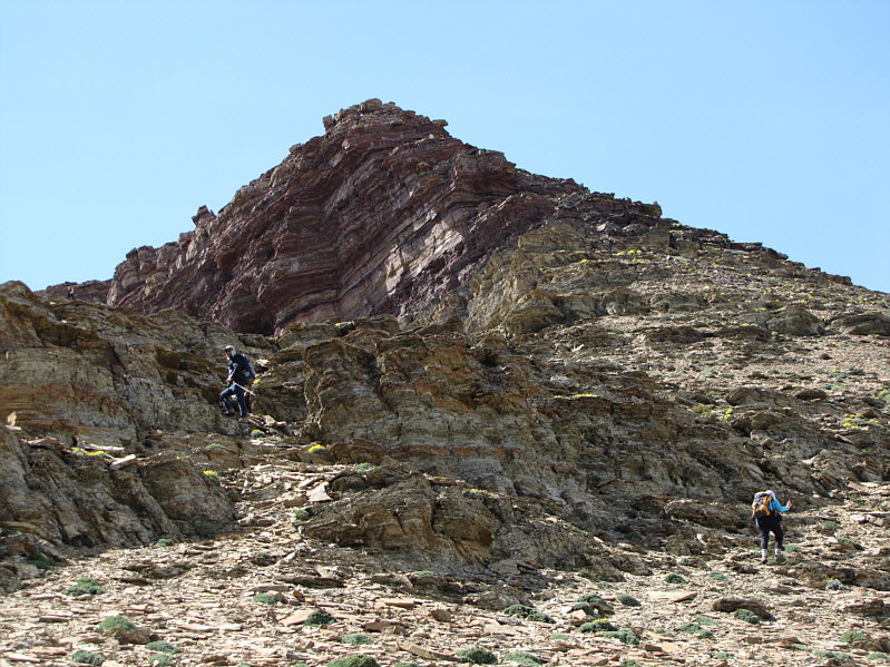
The scree here was great for descending later on. Bob and Dinah scramble up GR149551.
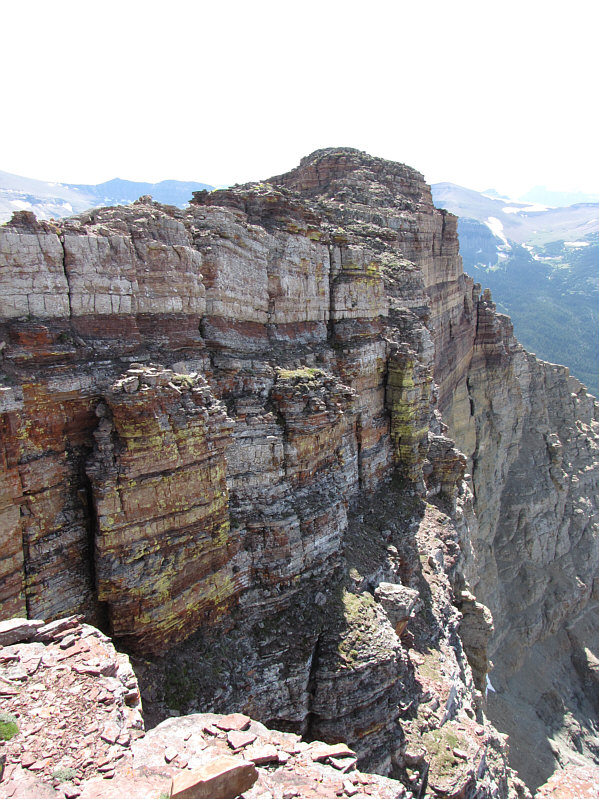
I would guess that these cliffs are likely unclimbed. There are some impressive cliffs on the north side of GR149551.
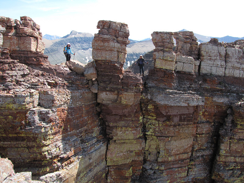
They look almost man-made! Dinah and Bob stand between some surprising pinnacles.
It's also possible to climb up via the second pinnacle from the right in the photo. Dinah decides to stop here while Bob checks out a chimney he and Sonny would use to regain the ridge.
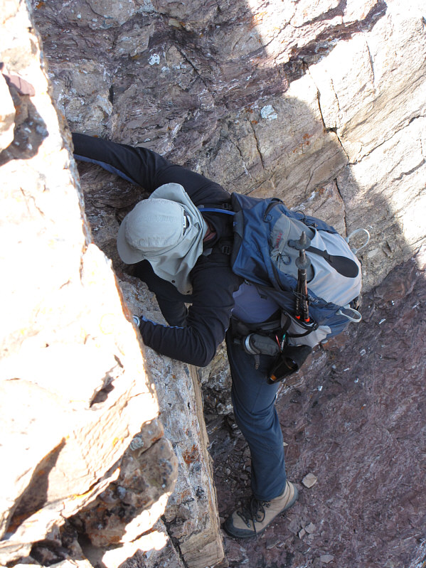
Best scrambling of the day! Bob has some difficulty getting up the initial step at the bottom of the chimney.
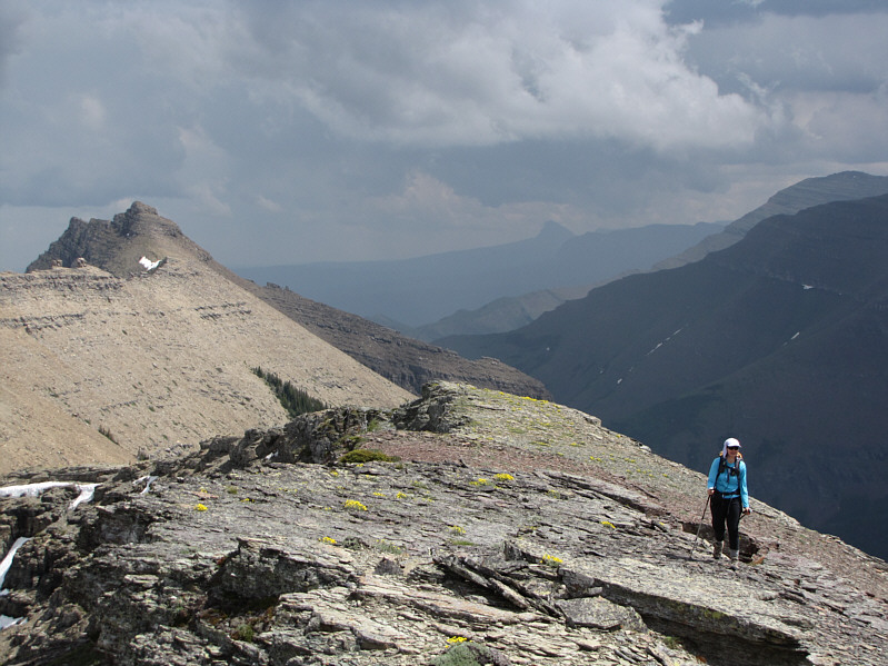
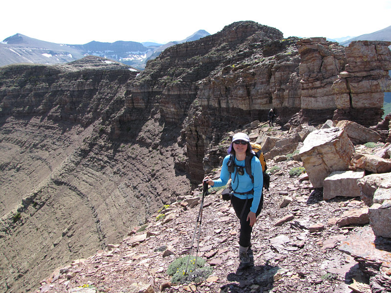
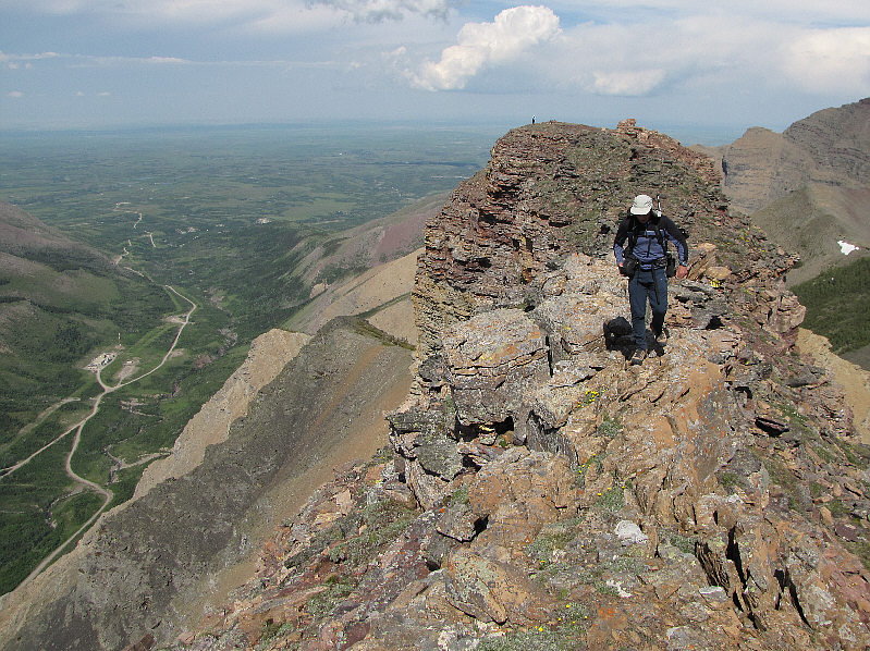
The ridge definitely has an airy feel to it! This is looking back along the ridge from just before the top of GR149551.
Amazing cliffs! From the top of GR149551, Dinah looks lonely on the lower bump.
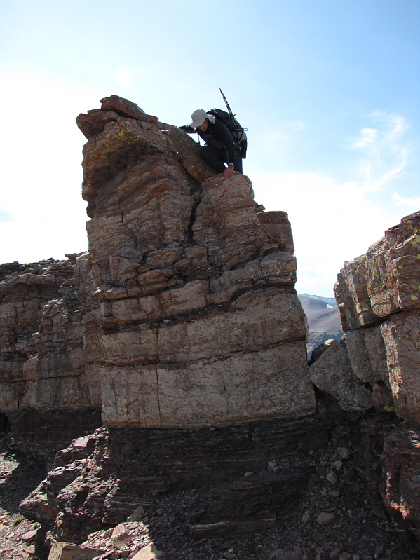
It's not visible here, but the exposure behind Bob is extreme! After posing for a photo atop the pinnacle, Bob easily down-climbs it.
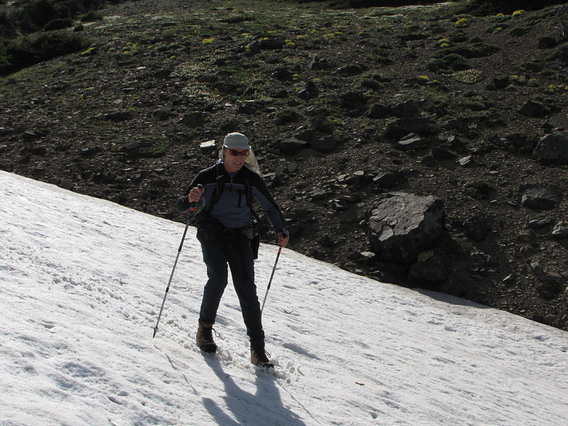
It's too bad these snow patches were so short. Bob boot-skis down a snow patch.
The hardest part was walking back out that bloody boring access road! Dinah and Bob head for home.
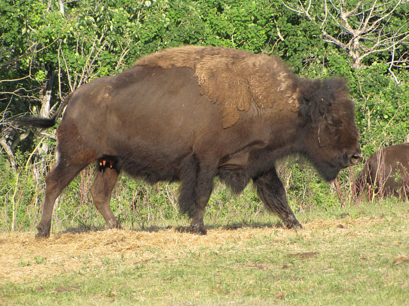
Bison burgers anyone? This is one of several bison grazing beside Yarrow Road.