Photo Courtesy of Bob Spirko
Dinah, Bob and I were understandably both groggy and grumpy when we finally got up and checked out of the motel. It was not a good way to start a full day of scrambling! On our way to the trail head, we stopped at a roadside cafe in St. Mary to pick up some breakfast and were pleasantly surprised to run into the Nugara brothers there. Andrew and his older brother, Mark, had spent 16 hours climbing spectacular Mount Wilbur the previous day and were looking for a much shorter trip to wind up their weekend in Glacier National Park (they later climbed Divide Mountain).
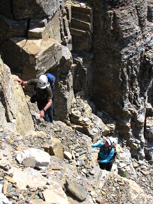
After parting ways, Dinah, Bob and I drove to Siyeh Bend on the Going-to-the-Sun Road and started hiking up the pleasantly easy trail to Preston Park (the hanging valley to the south of Mount Siyeh). As we entered Preston Park, we turned our attention to the ever improving though somewhat foreshortened views of Mount Siyeh's south slope. The "South Slope Route" description in J. Gordon Edwards' A Climber's Guide To Glacier National Park is a bit cryptic, and we had a hard time determining where his route actually goes. Even after we thrashed through some light bush to get to the foot of the slope, we were still somewhat undecided as to where to ascend. In the end, we simply looked up and picked what we thought would be a reasonable route through the cliff bands guarding the south slope. The scrambling was actually quite enjoyable as we followed a water-worn gully for much of the way up the lower slope. Higher up, we encountered some steep black rocks which may have been climbable but looked uncomfortably steep. Traversing to climber's right, we found a series of cairns leading us to the crux of our trip--a shallow but exposed staircase of big blocks. This crux is not overly difficult to climb, but loose rubble at the top makes it a little awkward to surmount the last step. Once past this, we settled into a long but easy plod up endless scree. A party of four was on their way down as we circled around to the broad west ridge and took the last few steps to the summit. While the surrounding views were somewhat marred by haze, I nevertheless found the drop-off down the north side of Mount Siyeh to be breathtaking. We spent about 50 minutes at the summit before retracing our steps down the mountain. The crux proved to be more difficult to down-climb because of the aforementioned loose rubble, but we all managed to get through without a scrape. Down-climbing the water-worn gully was just as fun as climbing up it, and we made good time getting down to Preston Park and hiking back to the trail head (round-trip time over 9 hours).
The hamburgers we picked up for dinner from the Dairy Queen in Cardston, Alberta were rather disappointing, but we were more than satisfied to know that we would at least get some quality sleep at home later that night.
Be sure to check out Bob's photos of this trip here.
|
|
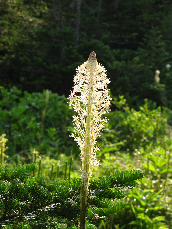
The morning sun illuminates this bear grass. |
|
|
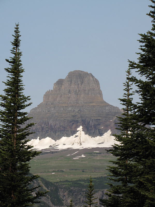
Clements Mountain is visible through a gap in the trees along the trail to Preston Park. |
|
|
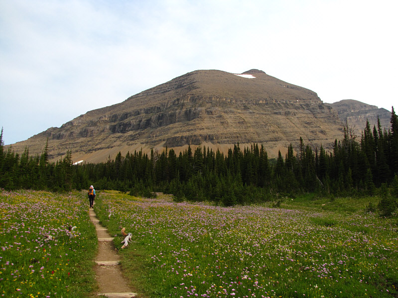
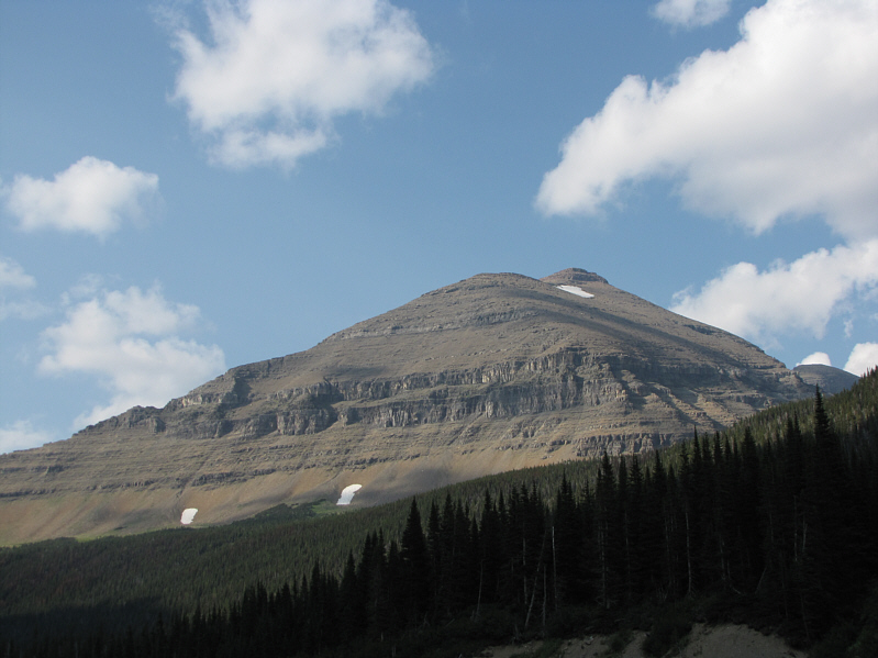
The rounded south side of Mount Siyeh belies its impressive north face. |
|
|
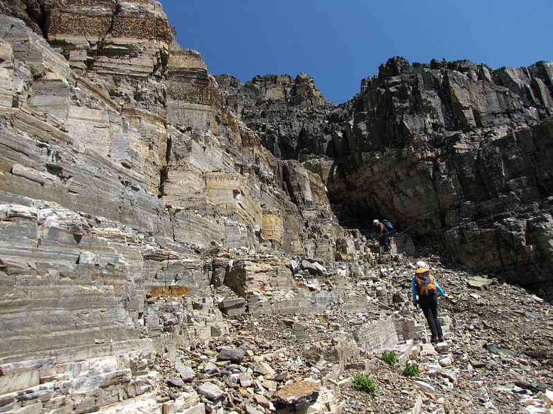
Dinah reaches the foot of Mount Siyeh's south slope. |
|
|
Dinah scrambles up typical terrain on the lower slope. |
|
|
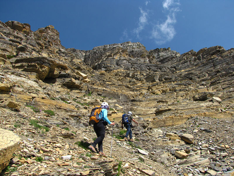
Dinah and Bob head toward a gully which is not particularly obvious in this photograph. |
|
|
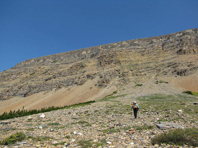
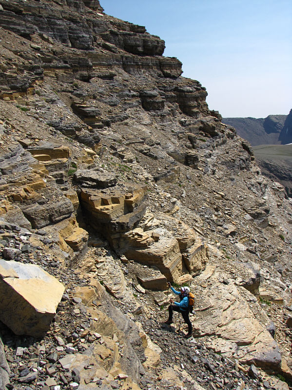
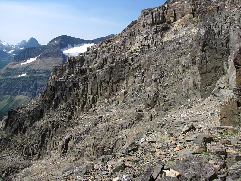
This view gives a general idea of the slope's steepness. |
|
|
Bob and Dinah scramble up the water-worn gully. |
|
|
Bob and Dinah continue up the gully. |
|
|
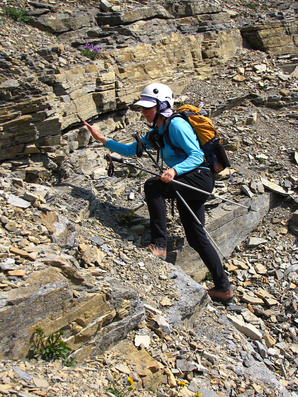
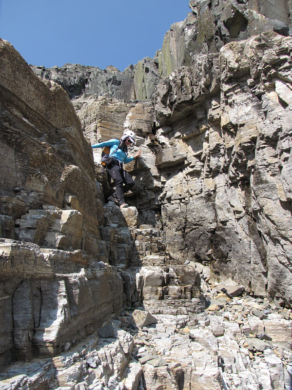
Dinah and Bob reach the steep black rocks before the traverse to climber's right. |
|
|
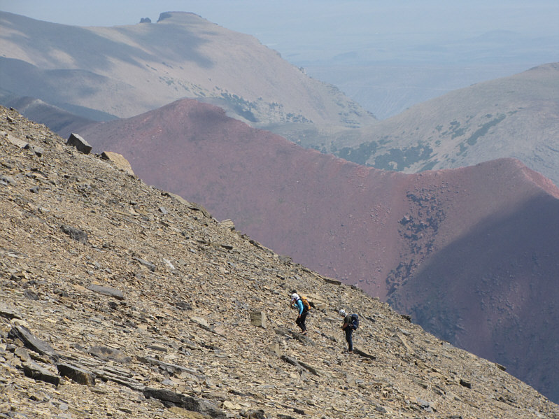
Dinah and Bob grind their way up scree on the upper mountain. |
|
|
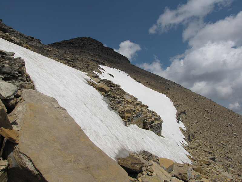
This steep snow patch can be avoided either to the left or right. |
|
|
This is the view of Mount Gould from the west ridge of Mount Siyeh. Also visible is Upper Grinnell Lake. |
|
|
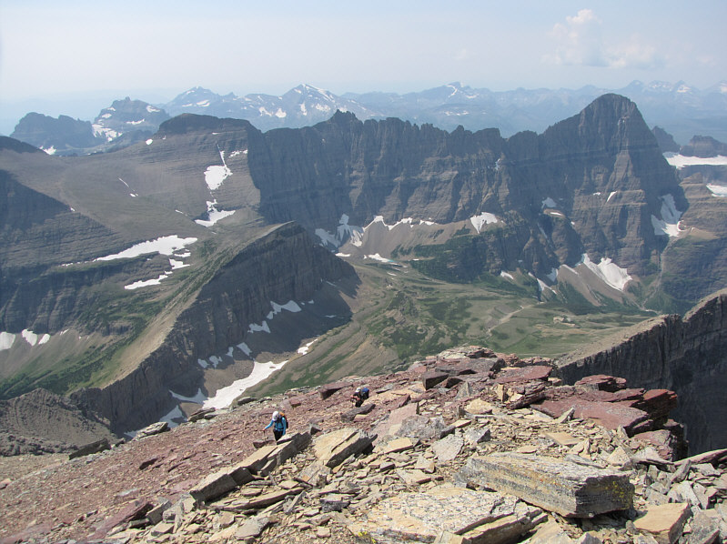
Dinah and Bob come up the last few metres before the summit. |
|
|
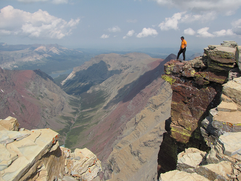
Sonny takes a very cautious look over the edge of Mount Siyeh's north
face which is over a vertical kilometre high. Photo Courtesy of Bob Spirko |
|
|
Bob, Sonny and Dinah gather around the cairn on the 3052-metre summit of Mount Siyeh. |
|
|
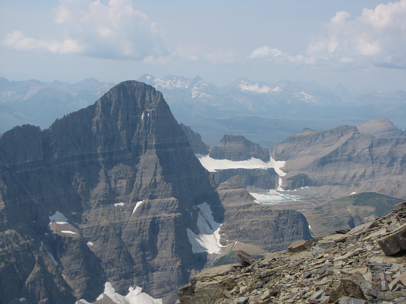
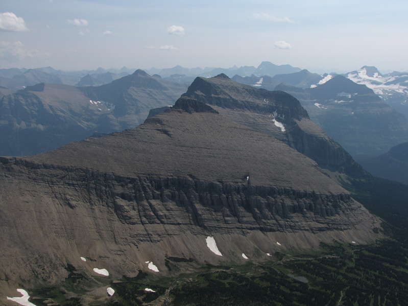
Directly south of Mount Siyeh are Matahpi Peak (foreground) and Going-to-the-Sun Mountain (behind Matahpi Peak). Also visible to the just to the left of Going-to-the-Sun Mountain is Little Chief Mountain. |
|
|
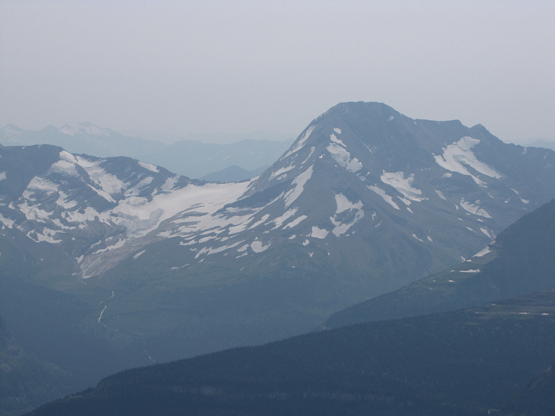
Jackson Glacier and Mount Jackson are visible to the southwest. |
|
|
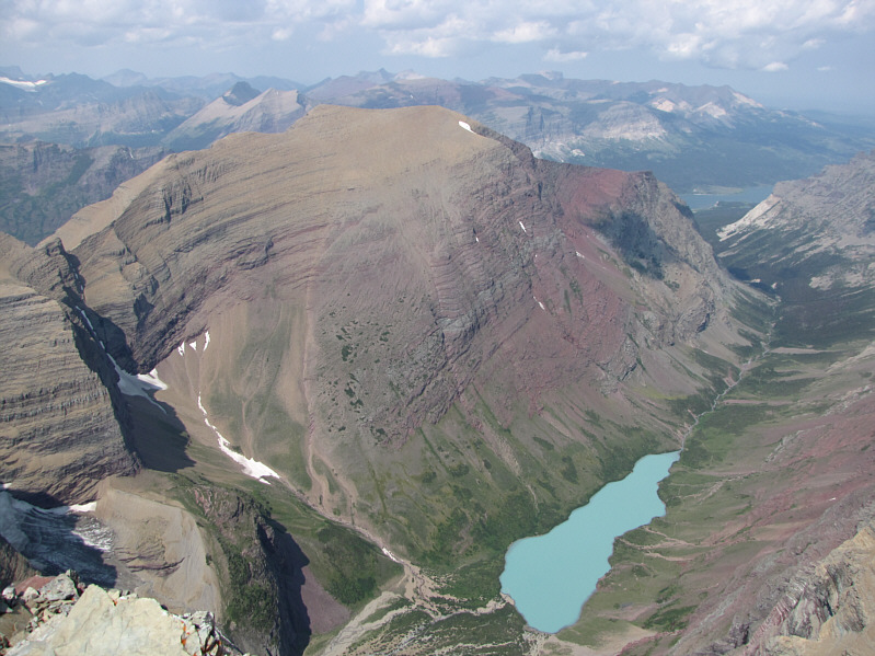
Allen Mountain and Cracker Lake are directly north of Mount Siyeh. |
|
|
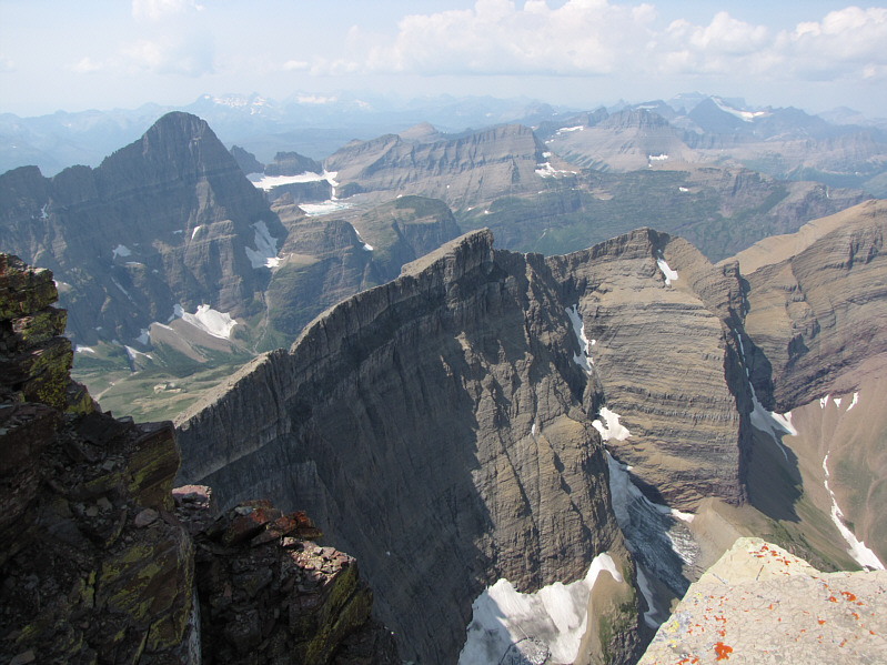
This is the impressive connecting ridge between Allen Mountain and Mount Siyeh. Mount Gould is visible at left while Mount Grinnell is in the distant center. |
|
|
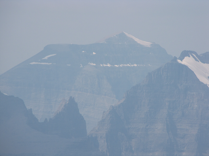
In the hazy distance on the northern horizon is Mount Cleveland, highest peak in Glacier National Park. |
|
|
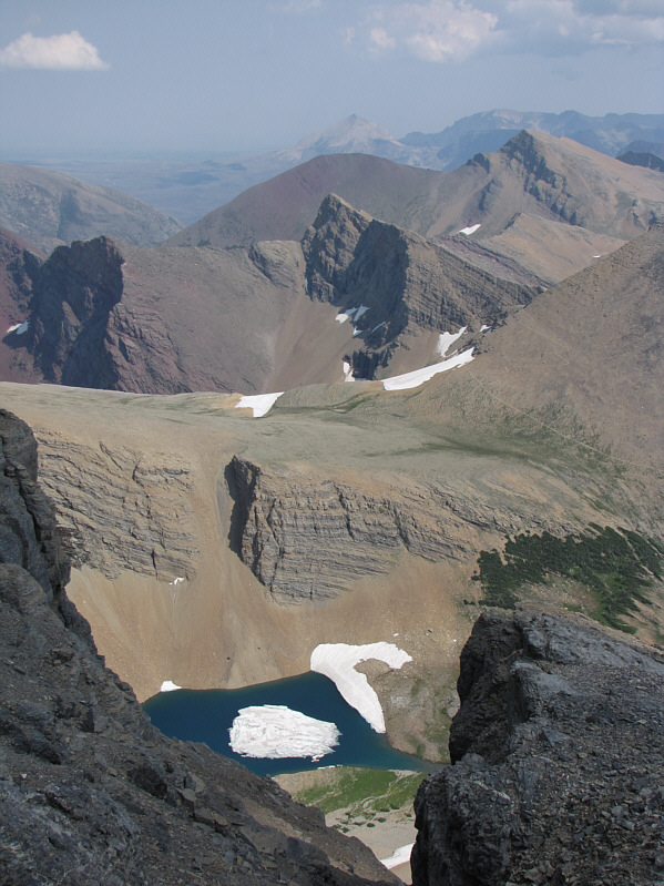
Here is a view of an ice-filled tarn just below Siyeh Pass. Also visible on the horizon is Divide Mountain. |
|
|
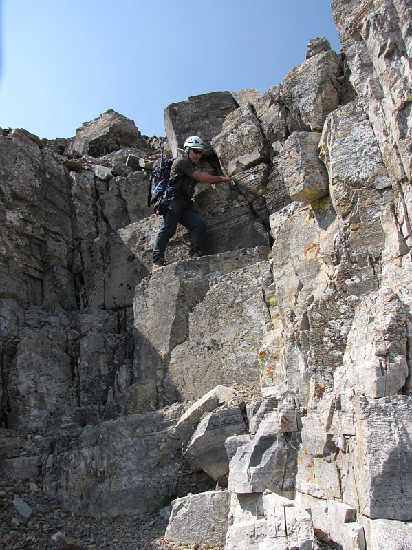
Bob descends the crux. |
|
|
Dinah has fun walking down steps in the water-worn gully. |
|
|
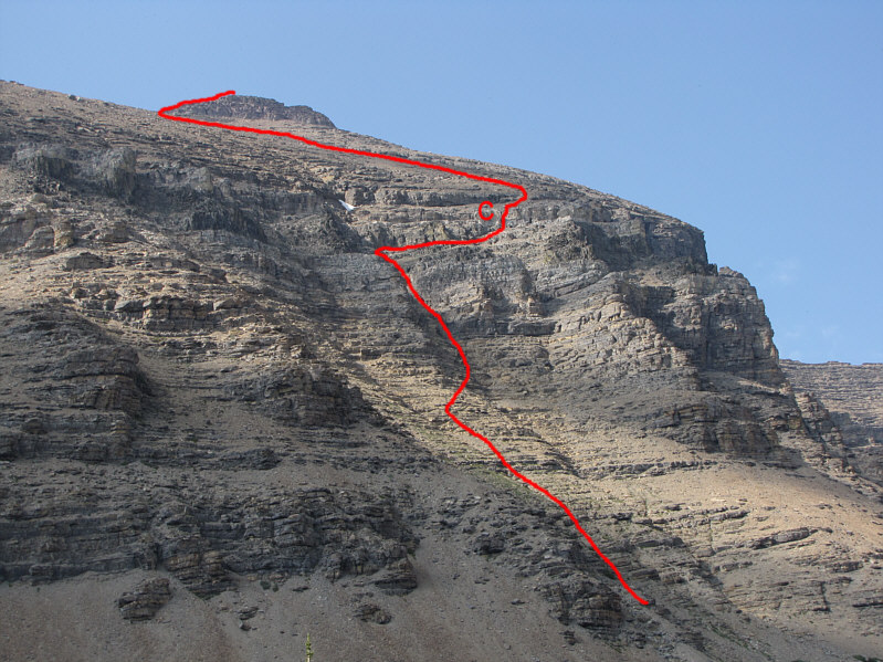
Here is another look at the route up Mount Siyeh's south slope. The crux (C) is marked. |
|
|
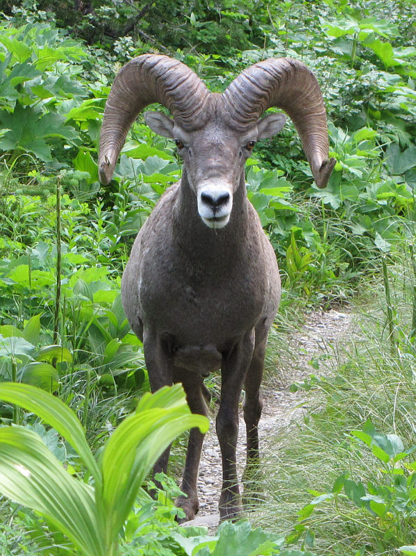
A fearless bighorn sheep stands right in the middle of the trail not far from the road. |
|
|
Here is one last look at Mount Siyeh from the trail head. |