BOU AVENUE
Three Sisters
Visible to the northwest of Fernie, British Columbia are a trio of peaks known as Three Sisters.  The middle peak is the highest of the three (henceforth, I will refer to this middle peak as Three Sisters), and its summit is readily accessed by a good trail via the west ridge.  After spending the previous night at a local hotel, Kelly Bou, Dinah Kruze, Bob Spirko and I drove up Hartley Lake Road on 29 August 2009 in search of the trailhead for the hike up Three Sisters.  Unbeknownst to us at the start of the day, there are actually two distinct access routes--a newer one which goes up Sulphur Creek valley and is part of a 20-kilometre traverse known as Heiko's Trail and an older one which heads up Olivia Creek valley and contours around the north side of Three Sisters.  Armed only with the BC Forest Service's outdated description of the older route, we turned left at the second obvious but unsigned road after passing Hartley Lake.  Initially, this road was easy to drive, but it soon deteriorated into a heavily-rutted and muddy track.  A couple of large mud holes provided some anxious moments for all of us in my Honda CR-V, but I managed to drive through nonetheless.  Shortly thereafter, we entered a small clearing where a camping trailer had been abandoned.  A truck was also parked in the clearing, and two hunters were scoping out some game on a nearby ridge.  Although the road continued up the valley, the hunters recommended that we park in the clearing and walk the remaining kilometre or so to the trailhead.  After the last mud hole, we were more than willing to start walking anyway.  We easily hiked to the end of the road and continued along a slightly overgrown trail until we reached a clearing near the head of Olivia Creek.  Following some flagging across the clearing, we endured a short but painful thrash through some tall thistles before commencing a steep grunt up to one of the basins north of Three Sisters.  From there, we plodded along the undulating trail until it seemingly disappeared in the jumble of boulders and karst pavement near the head of Sulphur Creek valley.  Picking our way through this area, we eventually spotted another good trail leading up to a saddle on the aforementioned west ridge.  It turned out that this was Heiko's Trail, and we also unexpectedly ran into an elderly gentleman and his dog here who had come up from the newer trailhead.  A local hiker, the gentleman had been to the summit of Three Sisters a couple of times before and provided some helpful information about the route.  When we reached the saddle, we finally got our first good look at the summit block of Three Sisters.  Unfortunately, Kelly was tired out by the lengthy approach and opted to stay behind at the saddle while the rest of us tramped up the last 500 metres of elevation gain to the broad summit.  Despite the fine weather, Dinah, Bob and I stayed for less than half an hour at the summit since we were anticipating a long haul back to the trailhead.  After rejoining Kelly at the saddle, we followed a short section of Heiko's Trail past the jumbled boulders before veering off to rejoin our original approach trail.  Other than the steep and slippery plunge down to Olivia Creek followed by more stinging thistles, our hike back to my car was largely problem-free (10 hours round-trip).  The hunters had long gone, so we simply packed into my car and carefully drove back to the Hartley Lake Road and eventually out to the highway.  Overall, the difficult access and lengthy approach made this trip seem a lot more arduous than it should have been, but the interesting scenery perhaps warrants another visit to this area in the future.

Be sure to check out Bob's photos of this trip.
Dinah made me stop at Tim's for coffee even though we had a nice continental breakfast at the hotel. 
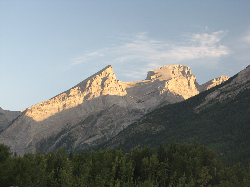
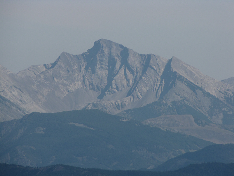
This is the view of Three Sisters from the parking lot of Tim Hortons in Fernie.
From the way these hunters were talking, you'd think the whole area was crawling with man-eating bears! 
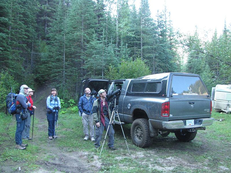
The two hunters spot some elk on a nearby ridge.  Note the abandoned camping trailer in the background.
Not a good place to wear shorts! 
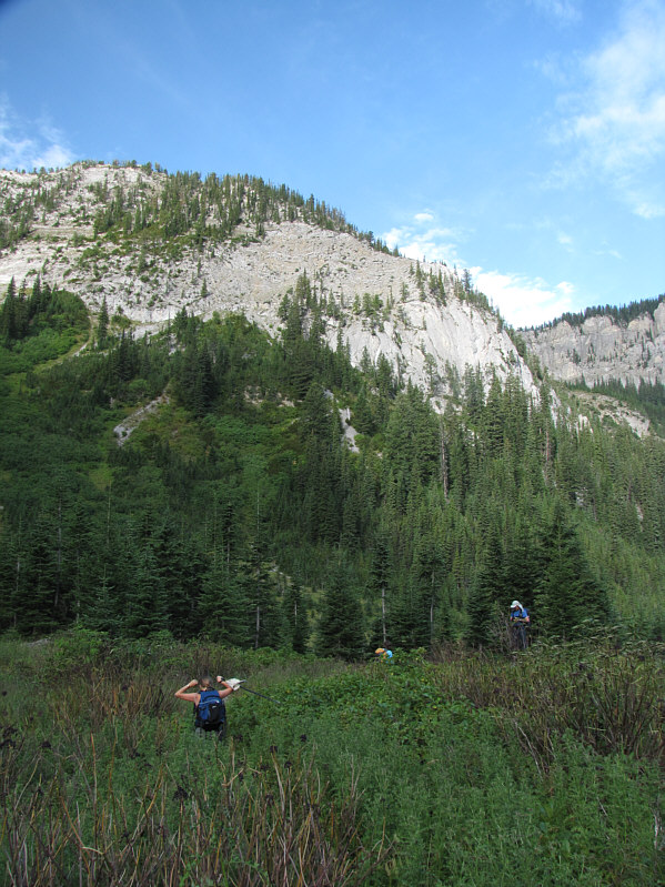
In the clearing near the head of Olivia Creek, Kelly tries to avoid the stinging thistles as best as she can.  Beyond the clearing, the route climbs steeply to the right under the cliffs.
There's nothing sweeter than wild strawberries! 
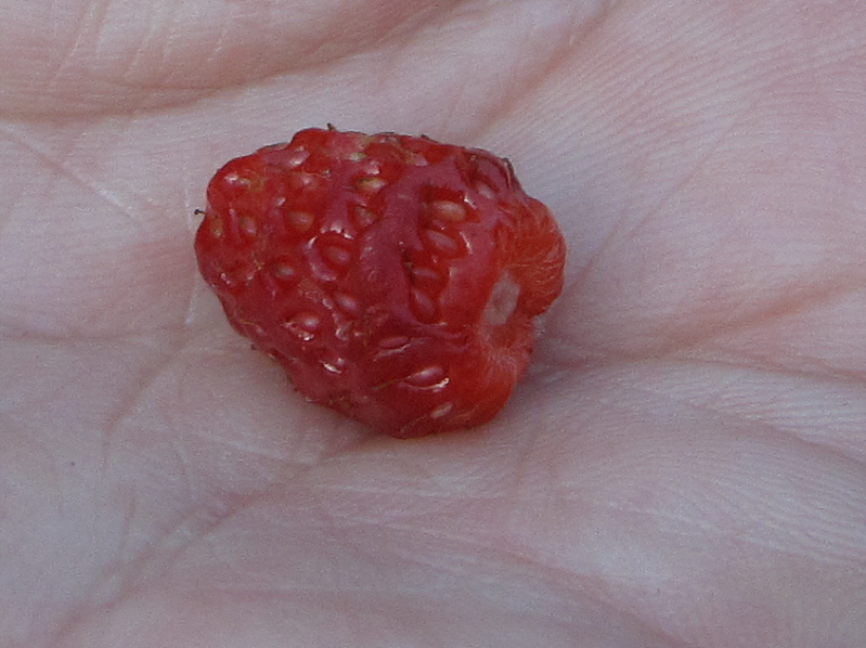
There are a lot of ripe strawberries (shown) and raspberries along the trail on this day.
The other approach is probably less boring than this! 
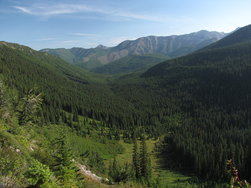
This is Olivia Creek valley.
If you look closely, you can spot the trail further up in the scree slope. Views of the north side of Three Sisters begin to open up.
I wonder if this face has been climbed... 
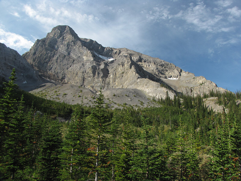
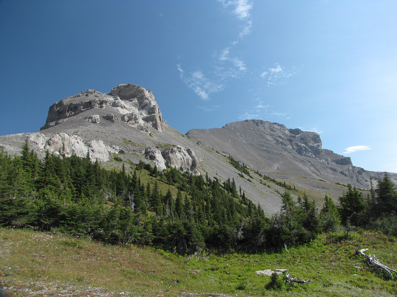
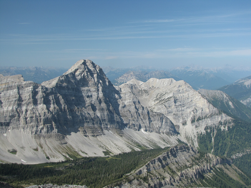
This is one of the first views of the impressive east face of Mount Bisaro (2850 metres).
This trail never seems to end... 
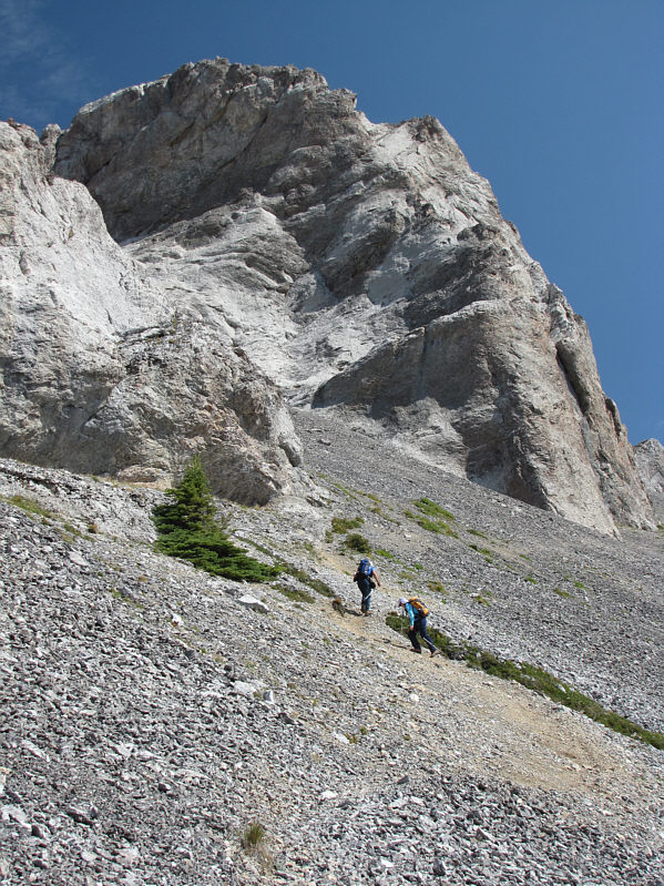
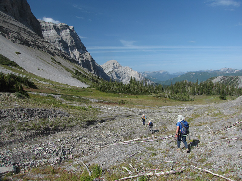
Kelly, Bob and Dinah continue along the trail which generally follows the demarcation between scree and vegetation.
It would have been nice to bag a few of these boulders. 
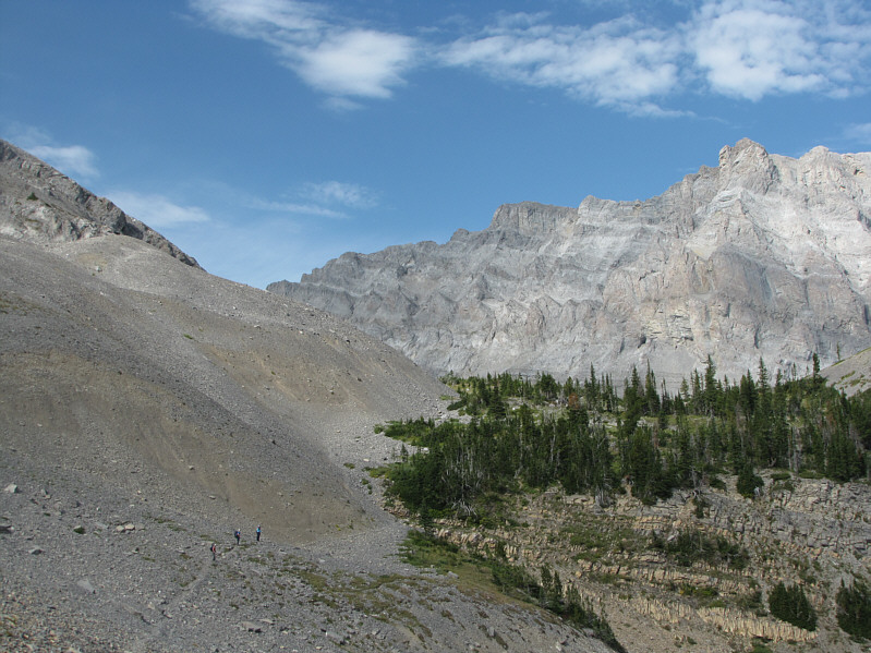
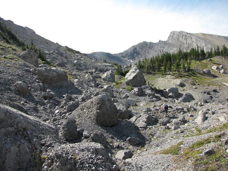
This is the boulder field near the head of Sulphur Creek valley.
Skinny dip, anyone? 
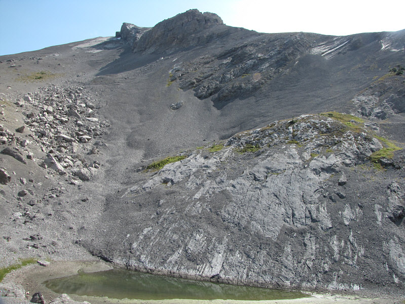
A greenish tarn sits at the foot of the west ridge of Three Sisters.
There were some ice patches still in the hole at far right.  World's smallest glacier? Dinah and Bob push on to the saddle.  At bottom right are the elderly gentleman and his dog.
Ugh.  I just want to lie down and sleep right now! The saddle grants the first clear look at the summit block of Three Sisters (right).
The saddle is a worthwhile hiking destination in itself. This is looking back at the saddle from further up the west ridge.  Heiko's Trail can be seen continuing to the left.
Put your mind and body on cruise control here. Bob and Dinah follow the beaten path along the west ridge.
They turned around soon after this photo was taken since the dog was getting thirsty. 
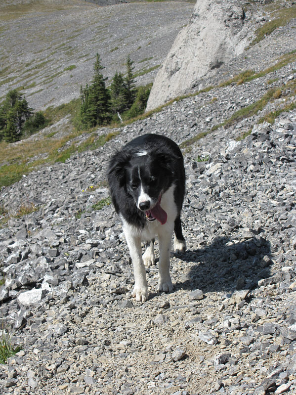
The elderly gentleman's dog is named "Laddie".
Zzzzzzzzzzzzzzzzzzzzzzzz... Dinah and Bob plod on.
Even with a trail it was hard work going up this scree! 
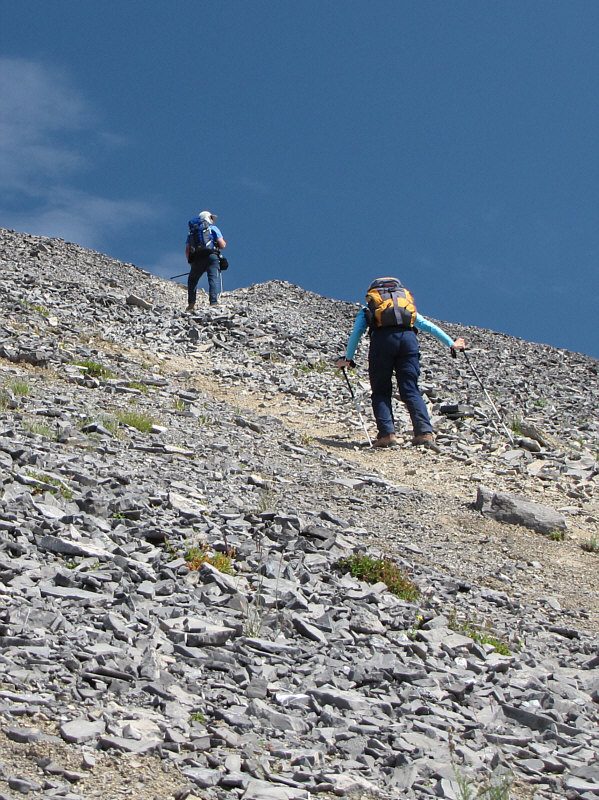
Bob and Dinah ascend one of the steeper sections of trail.
For some added fun and exposure, it's possible to scramble the ridge directly ahead! 
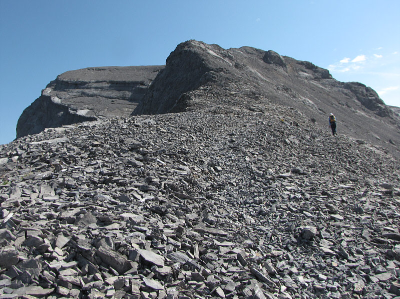
Dinah approaches the last section before the summit.
I've been seeing these things a lot lately, possibly even in my dreams.  What could it mean?? 
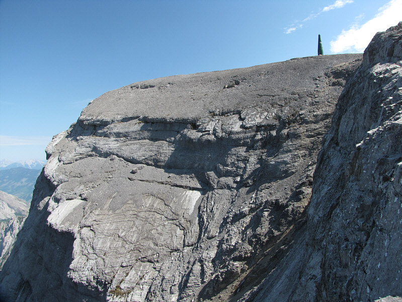
A green repeater tower sits near the summit of Three Sisters.
Dinah gets all the glory it seems... 
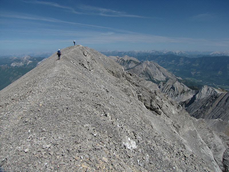
Dinah reaches the 2779-metre summit of Three Sisters with Bob following closely behind.
I'm starting to think about A&W already... Sonny, Bob and Dinah pose for a group photo near the summit of Three Sisters.  To the right of Dinah is Mount Bisaro.
That basin looks like it would be an interesting place to explore. This is looking southeast to Mount Proctor (centre).
Doesn't look that bad of a scramble from here! 
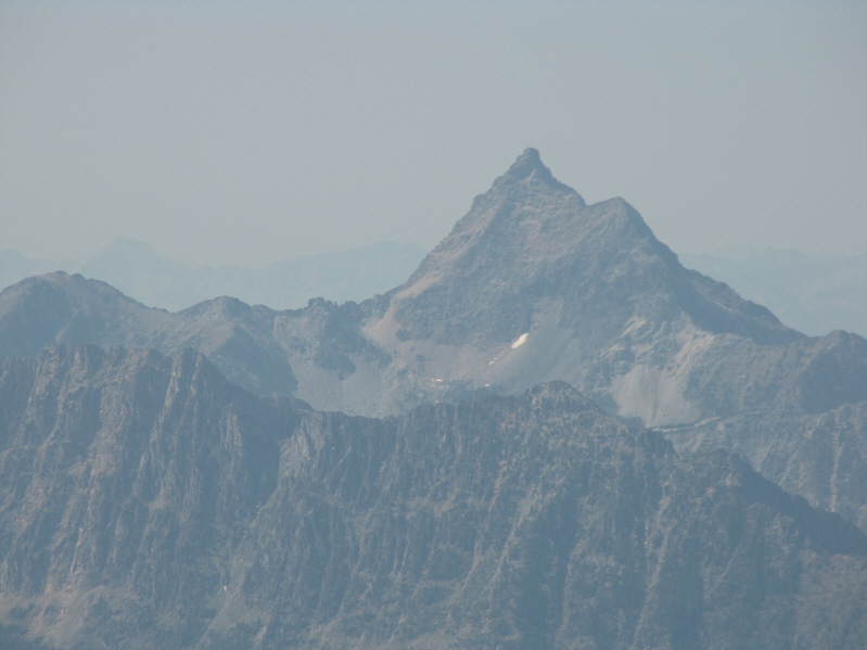
Mount Ptolemy is visible to the east.
I think Mount Harrison is visible on the horizon at far right. 
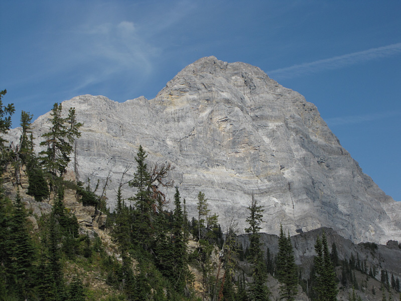
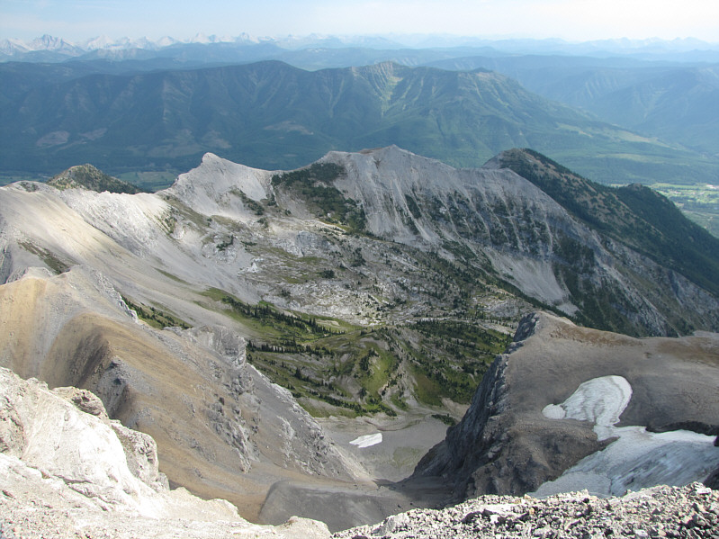
Mount Bisaro dominates the view to the northwest.
A great scramble.  Go do it! Mount Fisher is the striking peak to the west.
I wonder how often the two lower "sisters" get climbed.  Probably not often I suspect. 
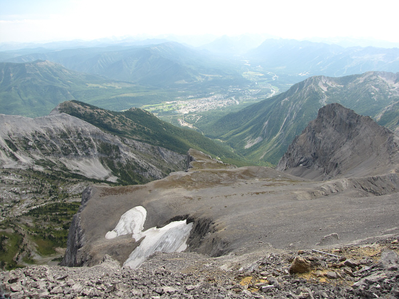
The town of Fernie can be seen to the south.  At right is the lowest of the "sisters".
We actually veered away from the trail here to regain our original approach route. 
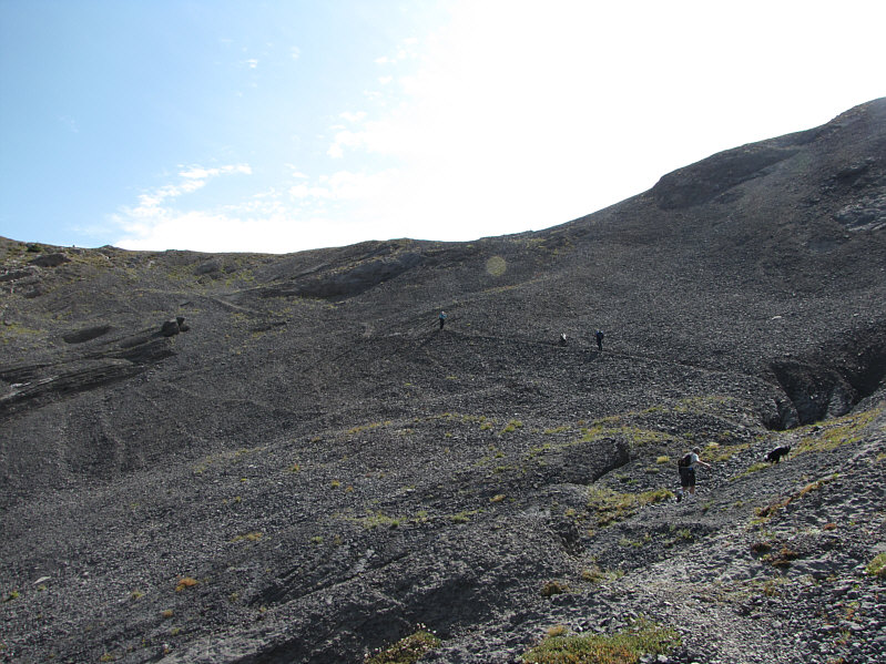
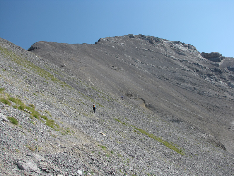
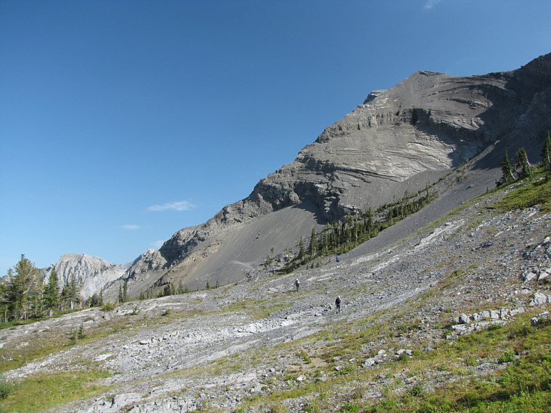
Dinah, Kelly and Bob hike along an indistinct section of Heiko's Trail near the head of Sulphur Creek valley.  Note the continuation of the trail in the meadow at left.
I wish I had a Slurpee right now! Here is a last look at the north side of Three Sisters.