


Before I had a chance to catch my breath, Wietse and Vern were already scampering down the east face of Coffin Mountain heading toward Sheep Mountain. I tried to keep up with them but got stuck a couple of times in the deep snow lingering on the face. By the time I bottomed out, my boots were beginning to get soaked, and my energy was waning. I regretted not bringing more food and drinks as I plodded wearily up Sheep Mountain's gentle west ridge. Wietse and Vern waited for me at the summit of Sheep Mountain, and as they sized up their next objective, Horseshoe Ridge, I wolfed down some peanuts in an effort just to stay awake.
As we descended to the pass separating Sheep Mountain from Horseshoe Ridge, I considered bailing out and making a beeline down the Ridge Creek valley to my car. I was even tempted to ask for a ride with a couple of ATV enthusiasts we ran into at the pass. As it turned out, I fell behind Wietse and Vern again as they trekked effortlessly over some undulating terrain. Inexplicably, I continued following their tracks in the ever deepening snow, and before I realized what I was doing, I was committed to traversing the ridge. Wietse and Vern did an outstanding job of breaking trail through the snow along the ridge, but I was too tired to really appreciate their efforts. My feet were wet and cold, and every step forward seemed like a monumental struggle. My mind definitely wandered a bit while I ascended Horseshoe Ridge, and an eternity passed before I staggered up to the pile of rocks marking the high point. I rejoined Wietse and Vern just a little further along the ridge but lost them again as we dropped down the snow-laden forested slope back to Ridge Creek. Ultimately, we picked up the rough road at the valley bottom and "cruised" back to my car (round-trip time of 9.75 hours). In retrospect, I probably bit off a little more than I could chew on this trip, but it was nevertheless fun to share some suffering again with Wietse and Vern.
Be sure the check out Vern's
trip
report as
well as Wietse's
photos.
|
|
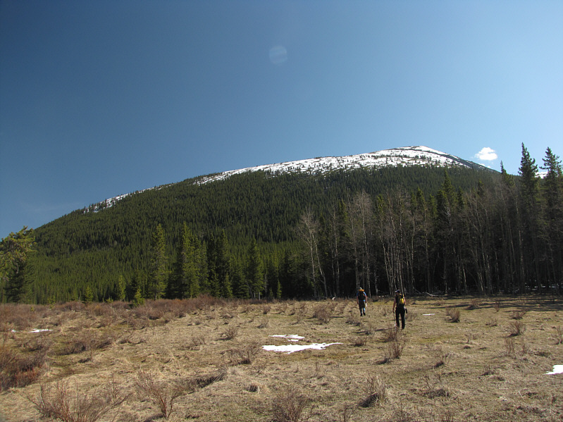
Wietse and Vern unwittingly head toward the south end of Coffin Mountain. |
|
|
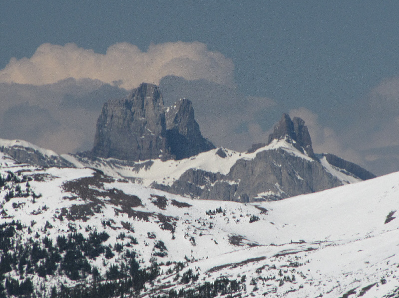
The Elevators garner much attention to the west. |
|
|
Wietse and Vern continue up the south ridge of Coffin Mountain. |
|
|
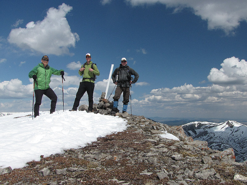
Sonny, Vern and Wietse gather at the 2407-metre summit of Coffin Mountain. |
|
|
Tornado Mountain dominates the western skyline. |
|
|
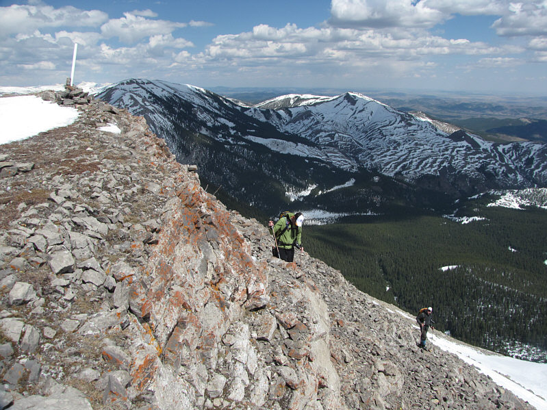
Vern and Wietse drop down the east side of Coffin Mountain's summit. |
|
|
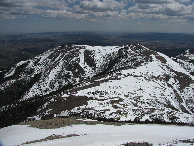
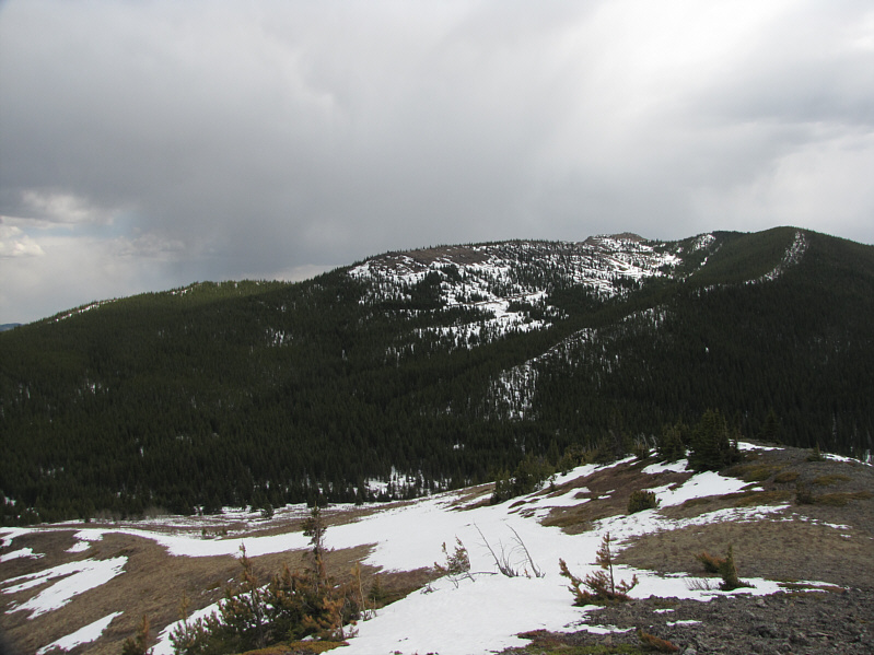
Sheep Mountain lies due east of Coffin Mountain. |
|
|
The west ridge of Sheep Mountain presents no difficulties. |
|
|
To the north is Saddle Mountain. |
|
|
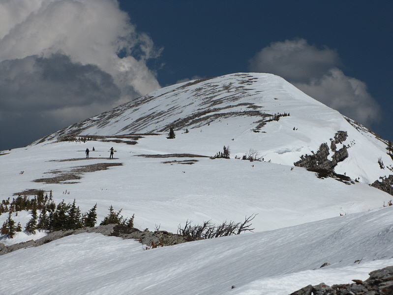
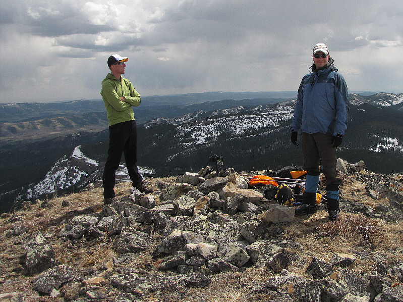
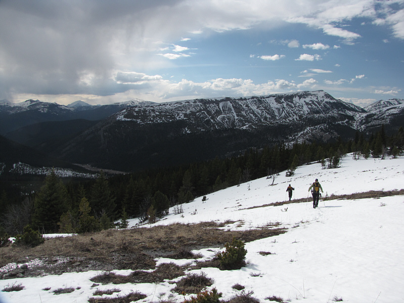
Vern and Wietse stand on the 2255-metre summit of Sheep Mountain. Horseshoe Ridge is visible at centre in the distance. |
|
|
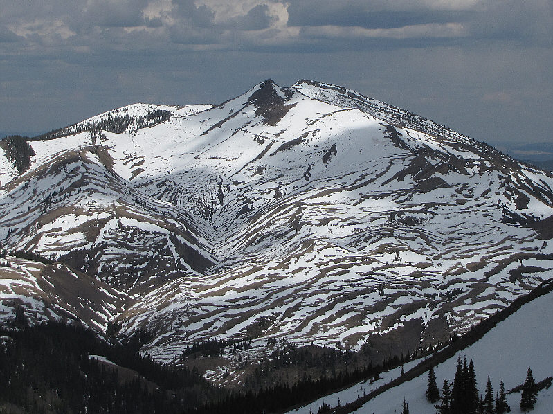
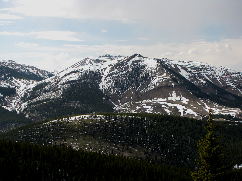
This is the east face of Coffin Mountain as seen from Sheep Mountain's summit. |
|
|
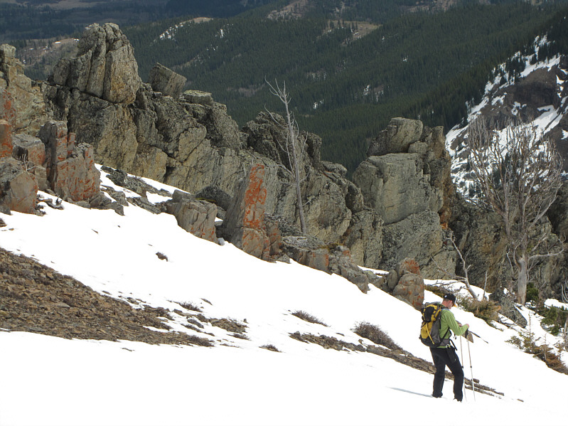
On his way down Sheep Mountain's southeast slope, Vern passes by some rock outcrops. |
|
|
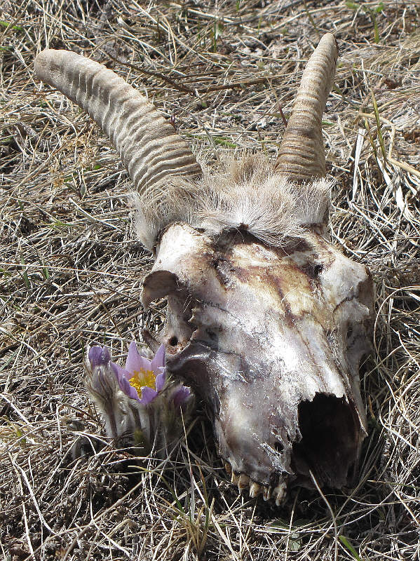
Wietse spotted this sheep skull at the foot of Sheep Mountain. |
|
|
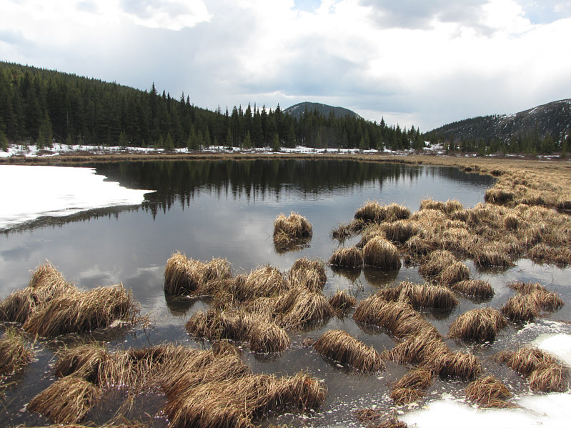
This tarn at a low pass between Sheep Mountain and Horseshoe Ridge is the source of Riley Creek. |
|
|
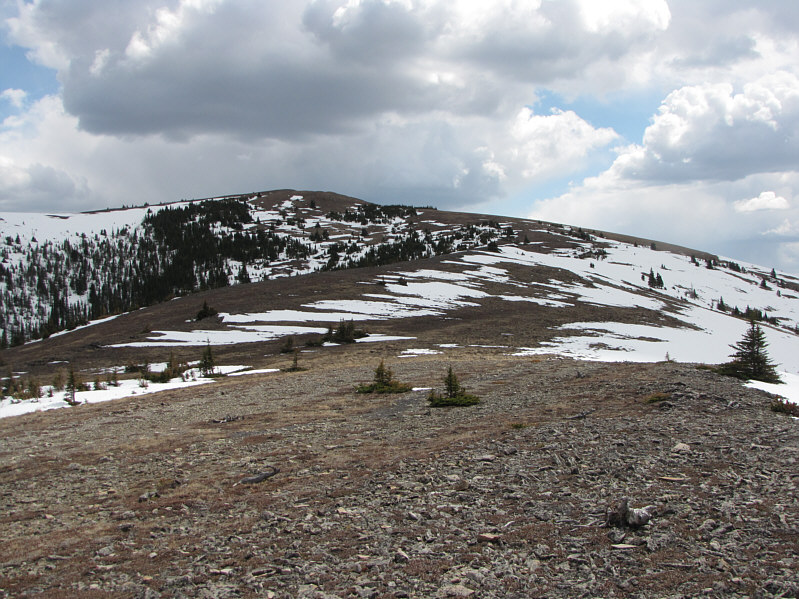
Horseshoe Ridge is about as interesting as it looks here. |
|
|
This is looking back at Sheep Mountain from near the summit of Horseshoe Ridge. |
|
|
Wietse and Vern begin their descent into the valley not far from the 2133-metre summit of Horseshoe Ridge. Coffin Mountain dominates the view across the valley. |
|
|
Here is a last look at Sheep Mountain from the Ridge Creek valley floor. |
|
|
Wietse and Vern take easy street back to the car. |