


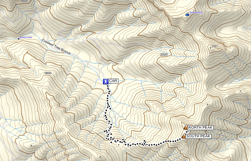
Total Distance: 10.5 kilometres
Round-Trip Time: 7 hours 57 minutes
Total Elevation Gain: 1259 metres
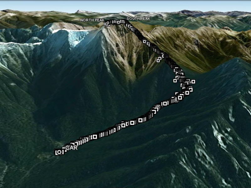
Arriving at the second washout (flowing creek), I parked my car and was happy to get out and finally start hiking. My ascent was generally straightforward and followed the route as described by C&G. Just before the "medium-sized slide" (it is actually a drainage which forks higher up), I ran into the owner of the other vehicle who was descending with his dog. They looked much more refreshed than me, and I still had the bulk of the climb ahead of me. On the ridge above the pass, I took shelter under a tree while a brief thunderstorm rolled over the mountain. Thankfully, I was only on the fringe of a nasty weather system moving through the area to the south of me. There are multiple peaks on the summit ridge bookended by two large and almost identical cairns--one at the south end and one at the north end. Even with a GPS, I had trouble determining which peak was the actual true summit as the elevation data appeared to drift upward with time. Retracing my steps, I returned uneventfully to my car.
On the drive out however, I stalled my car trying to climb up and over
a high embankment on the far side of the first washout. As I spun
my wheels to no avail in the slippery gravel, thoughts of getting
stranded began to race through my mind. Not quite in panic mode
just yet, I got out of my car to assess the situation. I realized
that I needed to take a good straight run at the embankment to get over
it, but having to negotiate around several bowling ball-sized boulders
made it difficult to build up momentum for my car. I proceeded to
roll the biggest boulders out of the way before carefully backing up my
car in as straight a line as I could manage for a couple of metres.
Taking a deep breath, I floored the accelerator, and my trusty Honda CR-V
came through for me once again as it launched over the embankment!
I encountered no further problems on the drive out and promptly returned
to my motel for a shower, a dinner, and a movie (the inferior though
still entertaining remake of The Longest Yard).
|
|
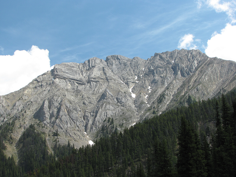
The west face of Indian Head Mountain is visible from near the "medium-sized slide". |
|
|
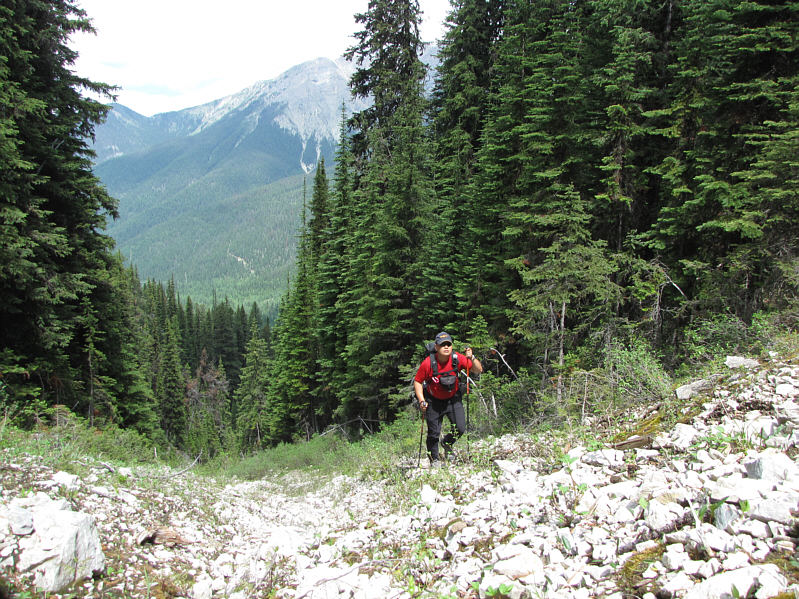
Sonny hikes up the (climber's) left fork of the drainage. |
|
|
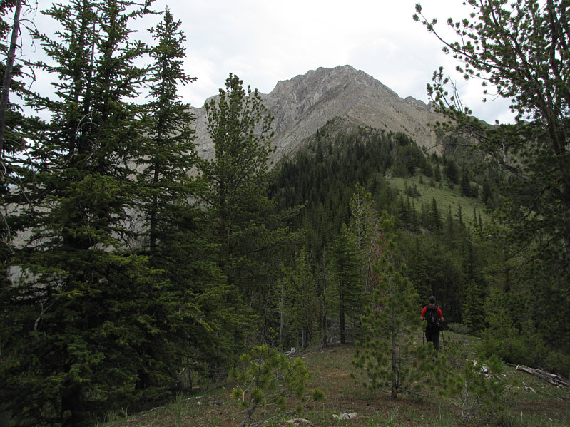
Sonny approaches the low point of the pass on Indian Head Mountain's west ridge. |
|
|
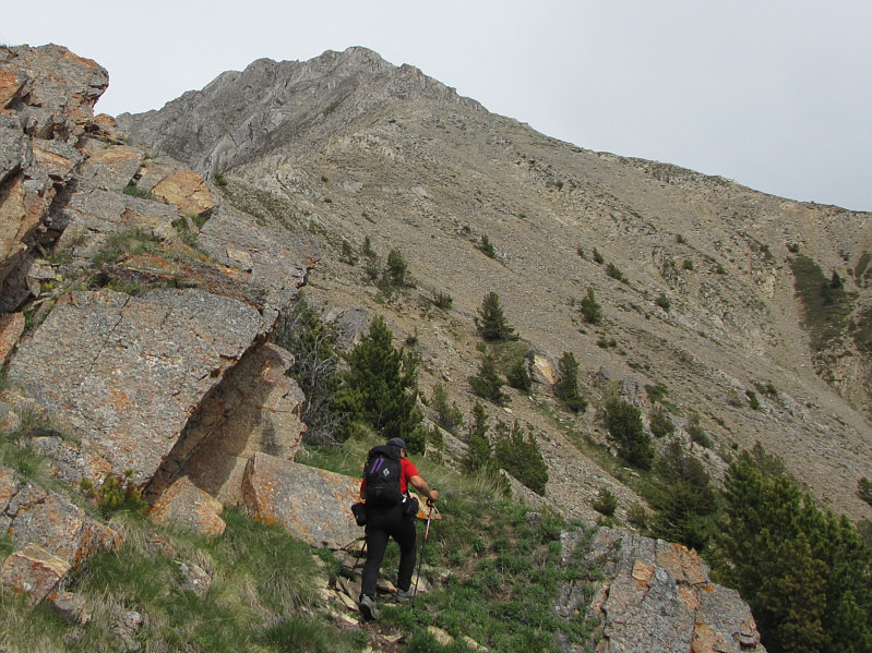
Here is a closer look at the west ridge of Indian Head Mountain. |
|
|
The trees begin to thin out along the ridge. |
|
|
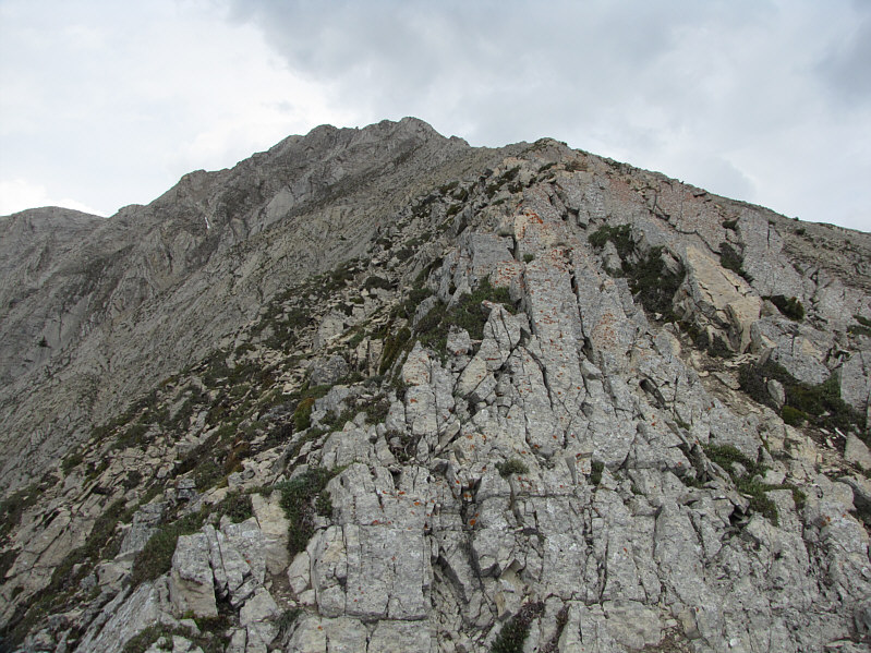
Higher up the ridge, the terrain becomes more challenging. |
|
|
Sonny takes a big step as he scrambles up some slabs. |
|
|
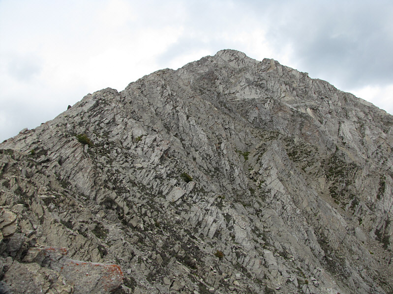
Shattered bands of rock guard the south end of Indian Head Mountain's summit ridge. |
|
|
Sonny takes the last few steps before the cairn on the south peak. |
|
|
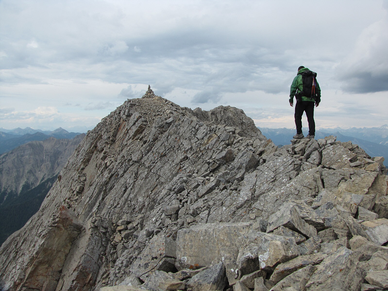
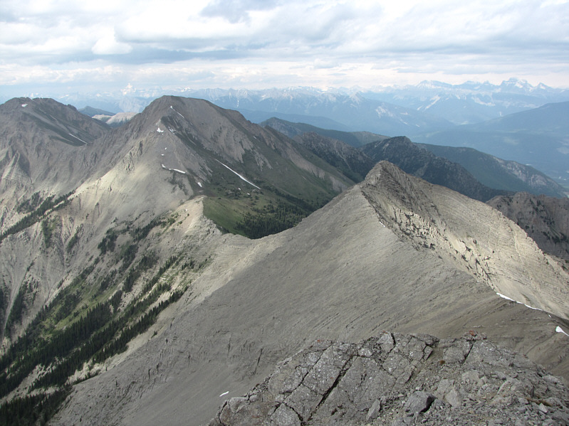
Sonny traverses the summit ridge en route to the north peak. |
|
|
C&G describe an option to traverse the connecting ridge to Mount Aeneas (distant far left). |
|
|
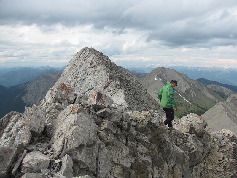
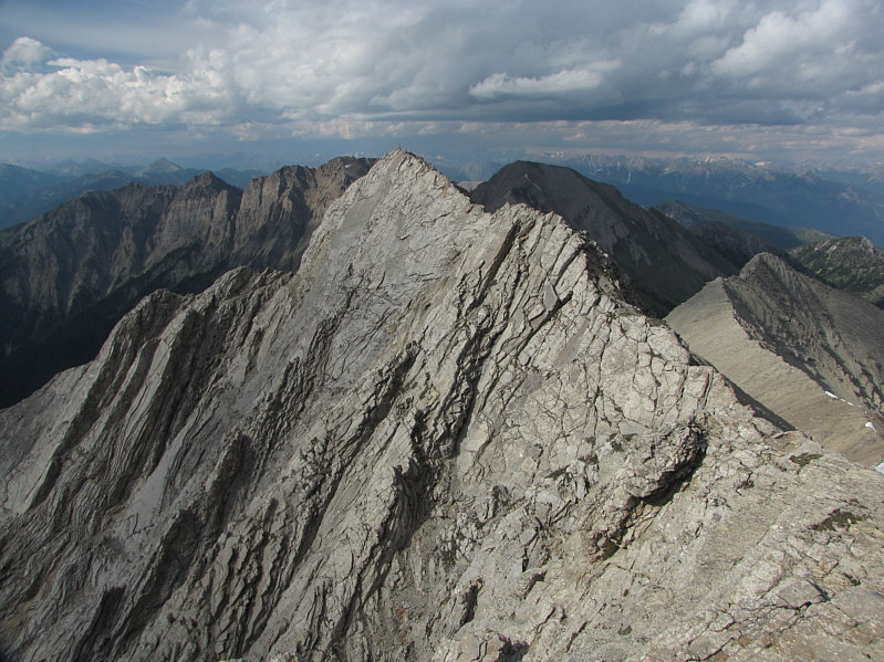
This is looking back at the south peak from the north peak. Columbia Lake is also visible in the distance. |
|
|
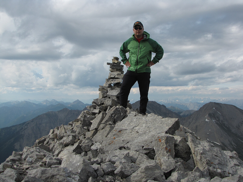
Sonny poses beside the cairn on the north peak of Indian Head Mountain. |
|
|
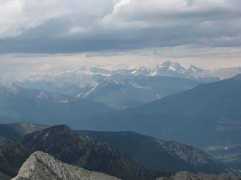
The Royal Group is visible to the northeast. The highest of the peaks is Mount King George (right). |
|
|
Here is another look at the north peak. |
|
|
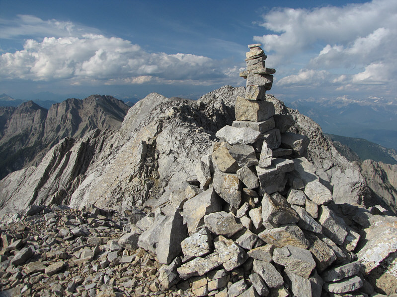
This is the cairn on the south peak which is officially considered the true summit with an elevation of 2687 metres. |
|
|
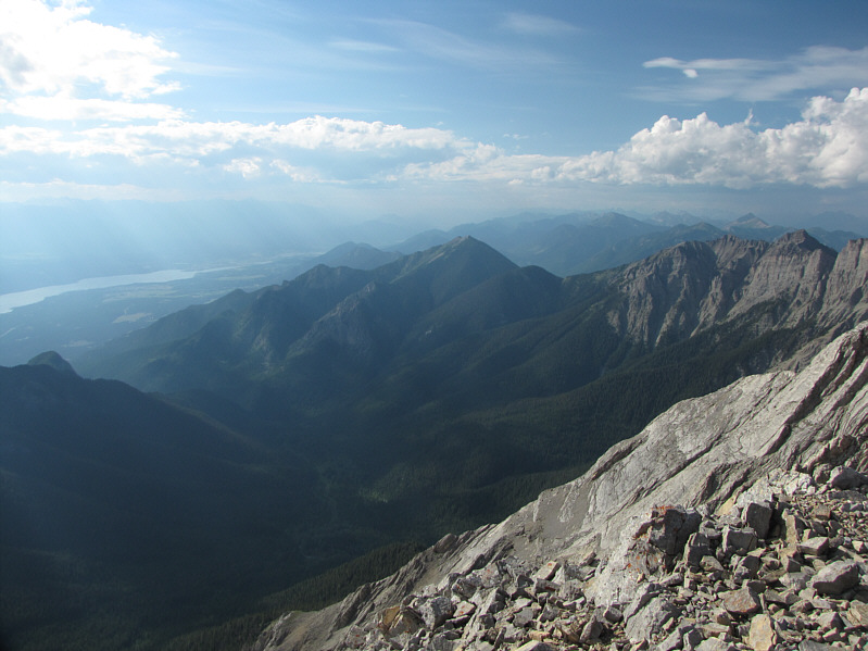
Windermere Lake and Mount Tegart (centre) can be seen to the northwest. |
|
|
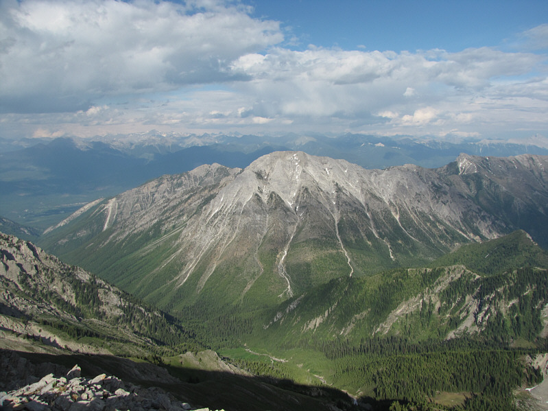
East of Indian Head Mountain is Mount Pedley. |
|
|
A golden-mantled ground squirrel pokes its head out of the cairn on the south peak. |
|
|
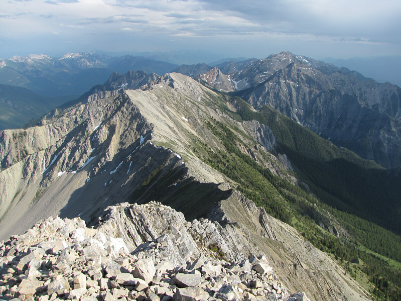
The rest of the Stanford Range stretches away to the south. |
|
|
This is the route as viewed in Google Earth. |
|
|
Total Distance: 10.5 kilometres |