
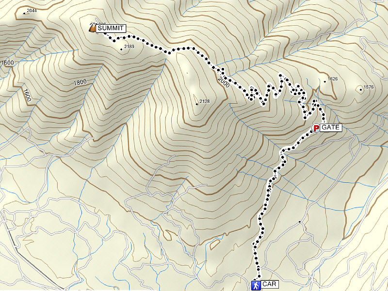
Total Distance: 16.8 kilometres
Round-Trip Time: 6 hours 15 minutes
Total Elevation Gain: 950 metres
|
|
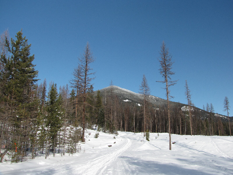
The lower east summit of Mount Baker is visible from the trailhead. |
|
|
At one of the switchbacks in the road, there is a glimpse of Mount Fisher. |
|
|
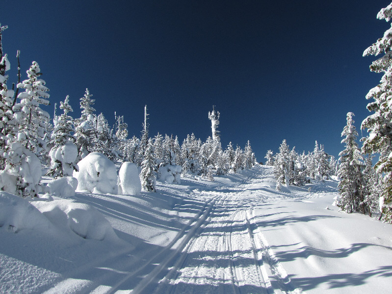
Telecommunications equipment indicate that the summit is near. |
|
|
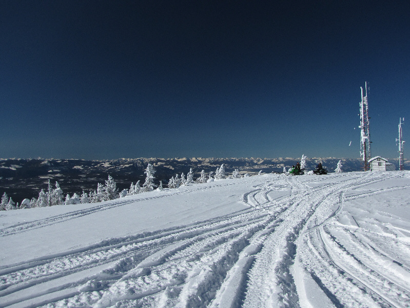
A couple of snowmobilers stop near the 2209-metre summit of Mount Baker. |
|
|
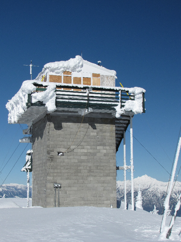
Among the many structures on the summit of Mount Baker is this lookout tower. |
|
|
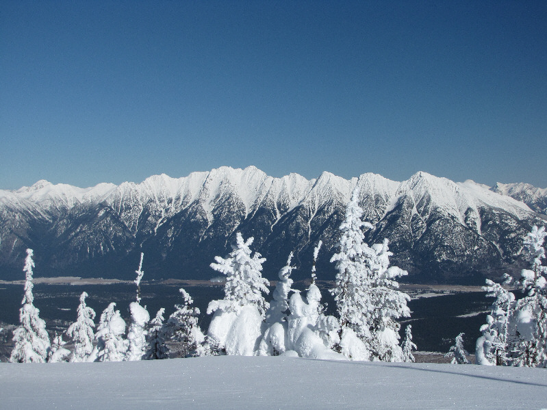
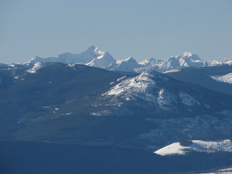
The Steeples dominate the view to the east. |
|
|
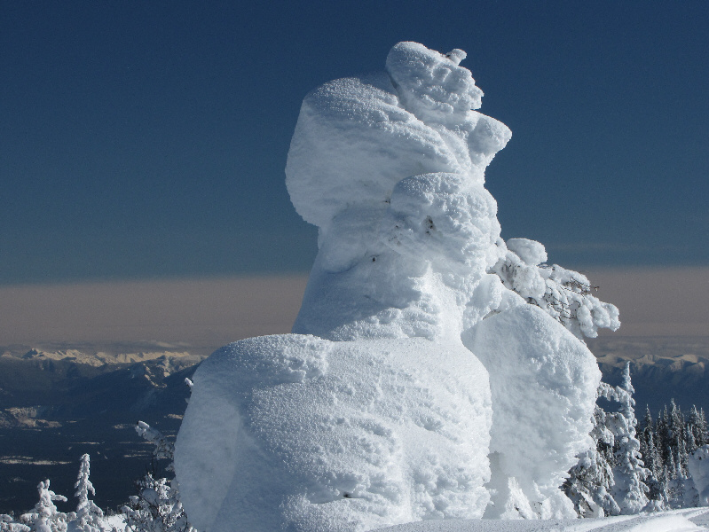
A tree near the summit is completely plastered with snow. |
|
|
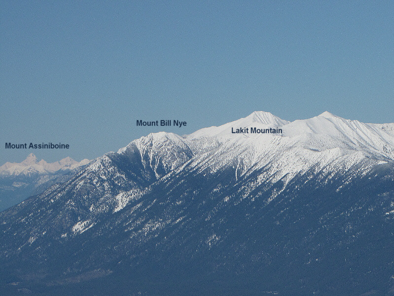
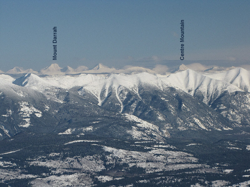
Although the two snowy peaks to the north are commonly regarded as Mount Bill Nye and Lakit Mountain, the official "summits" of both peaks are indicated (as corroborated by various sources*). Also visible is Mount Assiniboine which is about 157 kilometres away. |
|
|
The town of Cranbrook lies to the northwest. A few named peaks are also recognizable on the horizon. |
|
|
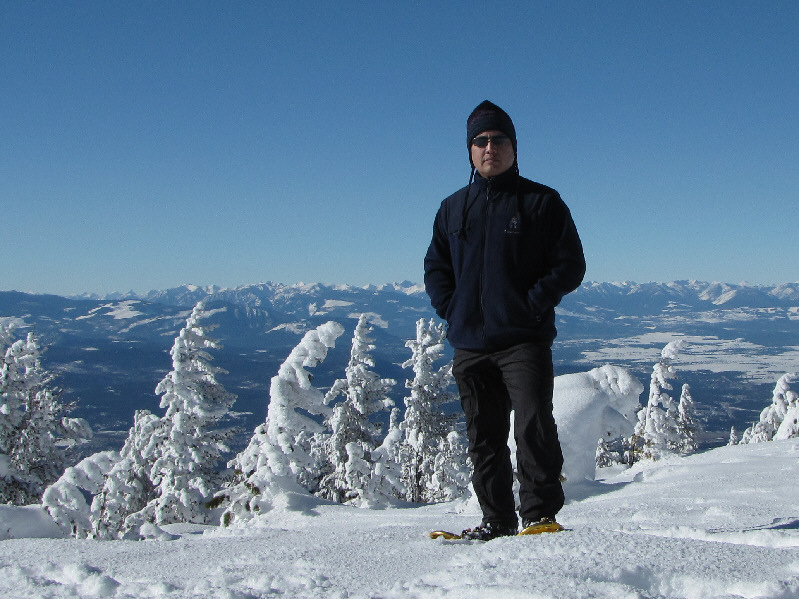
Sonny poses not far from the summit of Mount Baker. |
|
|
Mount Fisher is the most striking peak to the northeast. Not so striking is Lone Peak (small and relatively snow-free at left). |
|
|
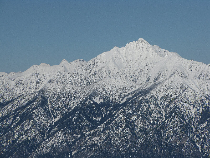
Mount Fisher deserves a closer look. |
|
|
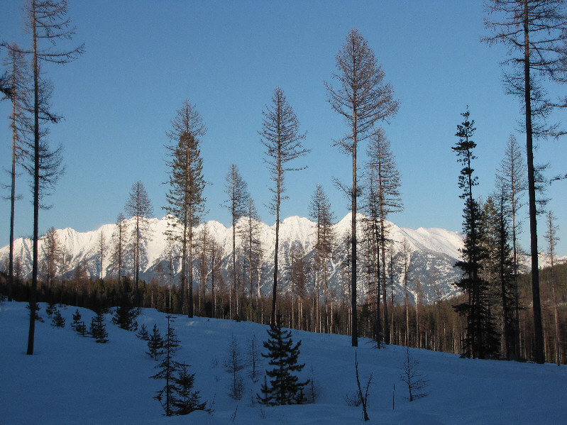
Some peaks along the Continental Divide are visible to the east. |
|
|
Mount Evans (left) is the one of the more prominent peaks to the west. |
|
|
At far right is the lower east summit of Mount Baker. |
|
|
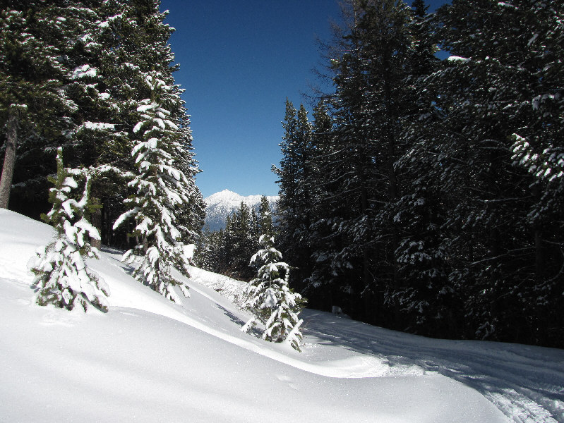
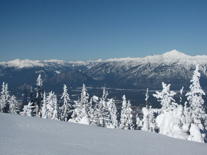
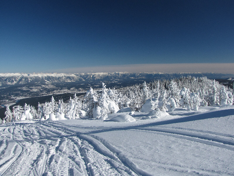
The sparsely-wooded area near the trailhead grants views of the Steeples. |
|
|
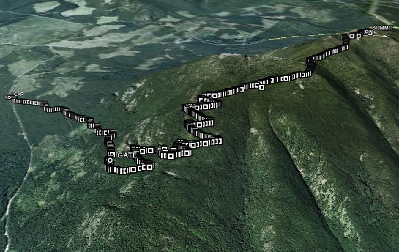
This is the route as viewed in Google Earth. |
|
|
Total Distance: 16.8 kilometres |