


Total Distance: 10.7 kilometres
Round-Trip Time: 4 hours 38 minutes
Net Elevation Gain: 656 metres
Once on the proper trail, I settled into an
easy plod up to the summit and soon passed a couple of hikers on their
way down. I also noticed three other hikers behind me, and
eventually two of them passed me on the way up. The third hiker was
not far behind me when I ran into the other two just as they were leaving
the summit. With the summit all to myself, I quickly did my usual
chores expecting the third hiker to show up at any moment.
Strangely, the third hiker never arrived and must have turned around
with the other two despite being so close to the summit. That
seemed weird, at
least for a peak bagger like myself! On descent, I met one more
hiker further down who was still on his way up as the sun was setting. Probably owing to Black Mountain's close proximity to the suburbs, I
encountered more people on this diminutive peak than on all the other
peaks combined during my week of hiking in the Las Vegas area. All
that was missing was an Elvis impersonator!
|
|
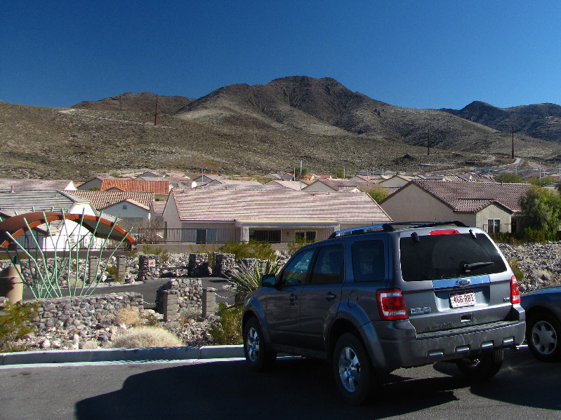
Black Mountain is readily visible from the trailhead. |
|
|
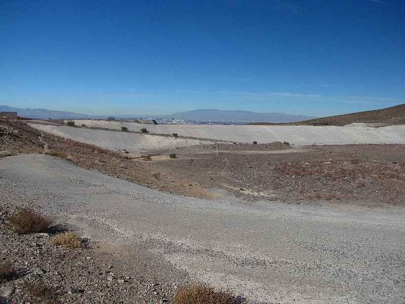
Near the trailhead is what appears to be a concrete dam or levee. |
|
|
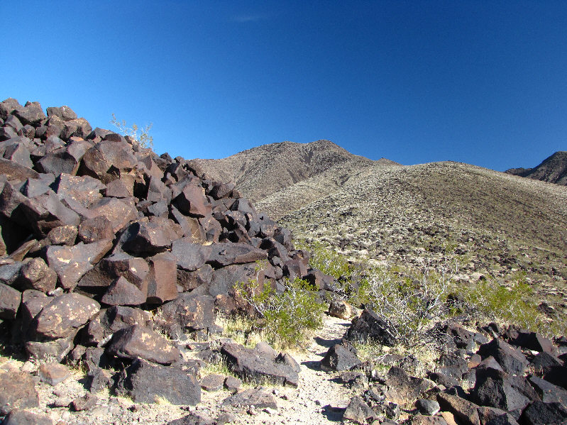
This is where Sonny took a wrong turn. Note the correct trail to Black Mountain at far left. |
|
|
This yucca plant towers above the trail. |
|
|
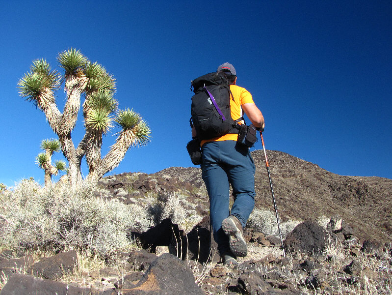
It suddenly dawns on Sonny that he is heading for the wrong ridge. Black Mountain is directly behind him. |
|
|
This is the correct trail to Black Mountain. |
|
|
Sonny passes another impressive yucca plant on his way to the summit. |
|
|
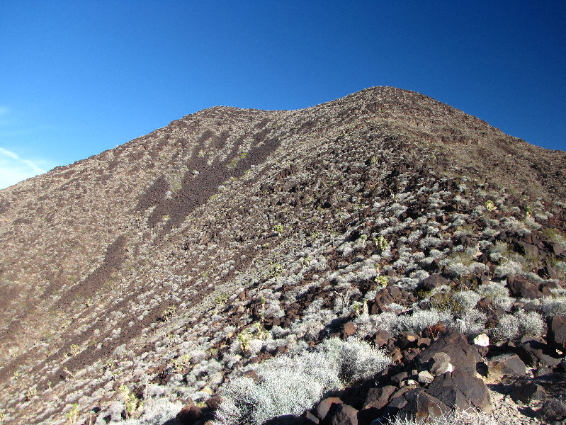
The trail is mostly hidden among the rocks and bushes. |
|
|
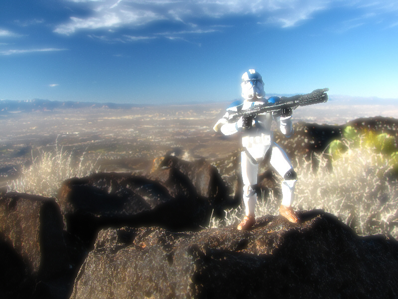
Sonny stands on the 1555-metre summit of Black Mountain. |
|
|
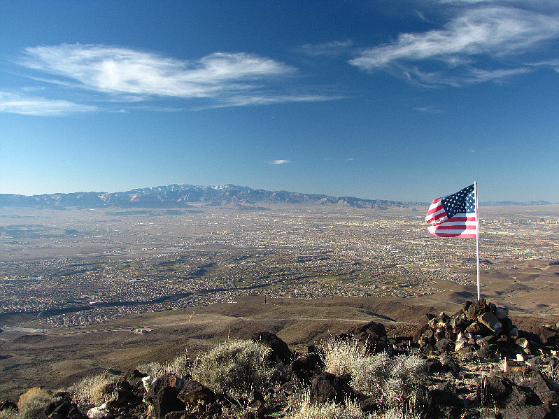
The Las Vegas metropolitan area is sprawled out to the northwest. On the horizon are the Spring Mountains. |
|
|
Frenchman Mountain is visible to the north. |
|
|
Also visible to the north is Lava Butte. |
|
|
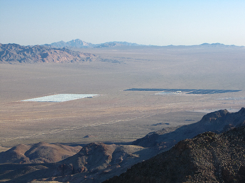
The view to the south includes the mirror arrays known as Nevada Solar One. Over 78 kilometres away on the horizon at left is Spirit Mountain. |
|
|
Here is a view of the hotels of the Las Vegas Strip stretching from Mandalay Bay and Luxor (black pyramid) at far left all the way to Stratosphere (tower) at far right. Also visible is McCarran International Airport. |
|
|
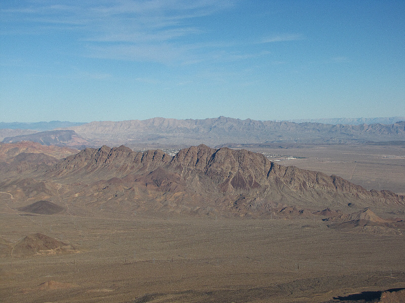
Looking east, Boulder City is barely visible behind Black Hill. Fortification Hill is at far left, and just right of centre on the horizon is Mount Wilson (Arizona). |
|
|
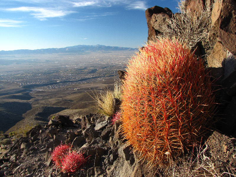
Here is one of the many barrel cacti found alongside the trail. |
|
|
Sonny descends the Black Mountain trail. |
|
|
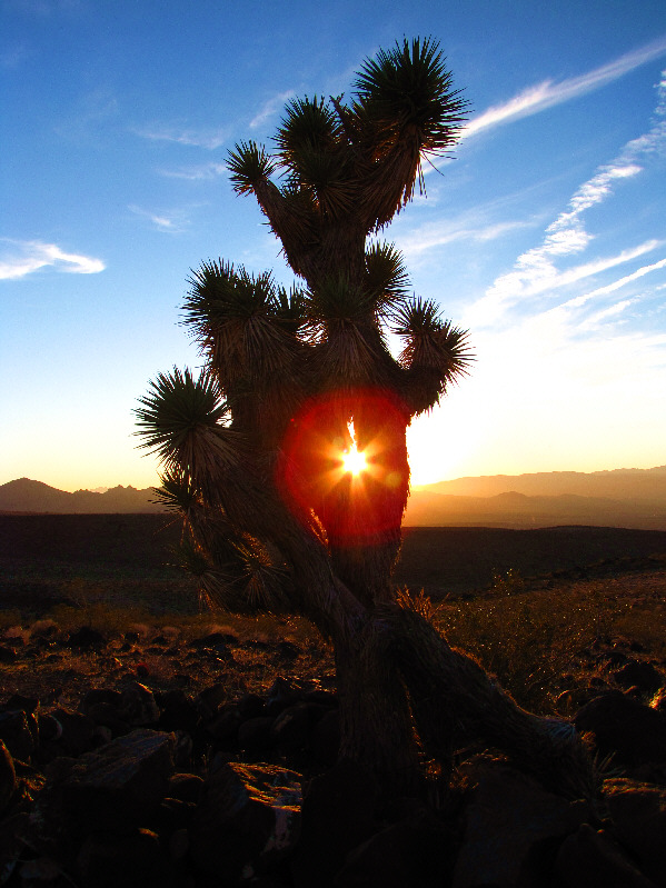
The late day sun shines through a yucca plant. |
|
|
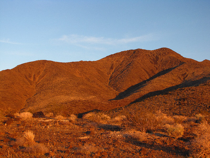
The setting sun sets Black Mountain ablaze. |
|
|
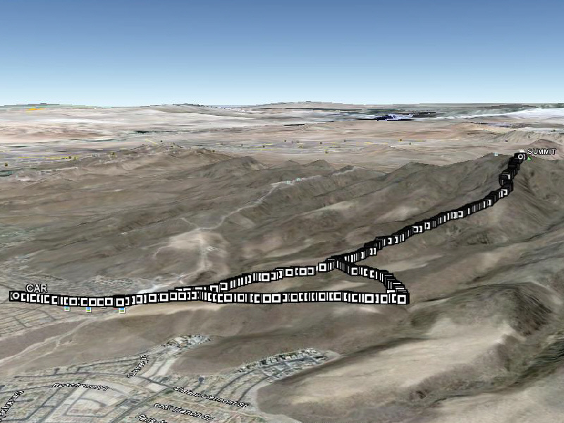
This is the route as viewed in Google Earth. |
|
|
Total Distance: 10.7 kilometres |