


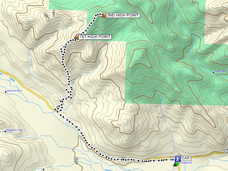
Round-Trip Time: 6 hours 11 minutes
Total Elevation Gain: 1236 metres
Be sure to check out Bob's photos here.
|
|
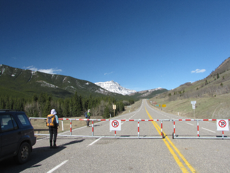
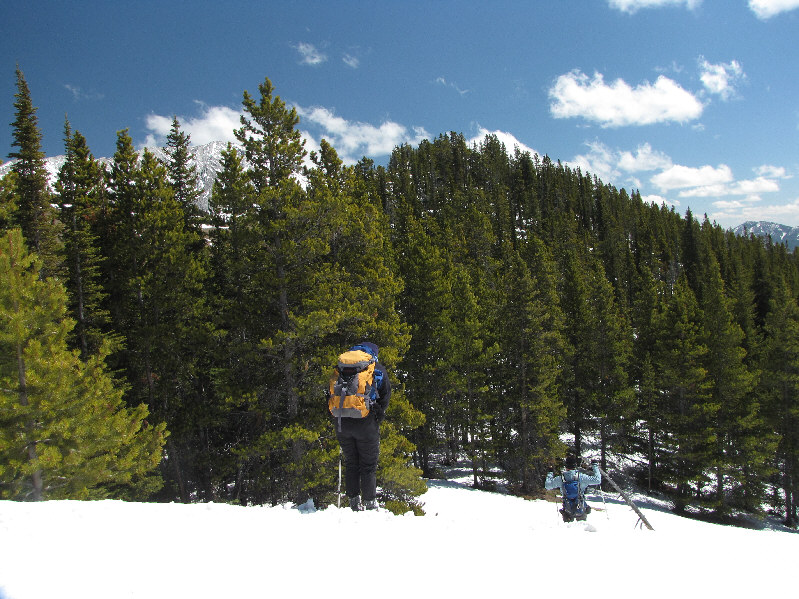
Dinah and Bob start off along Highway 40 at the seasonal gate near Highwood House. |
|
|
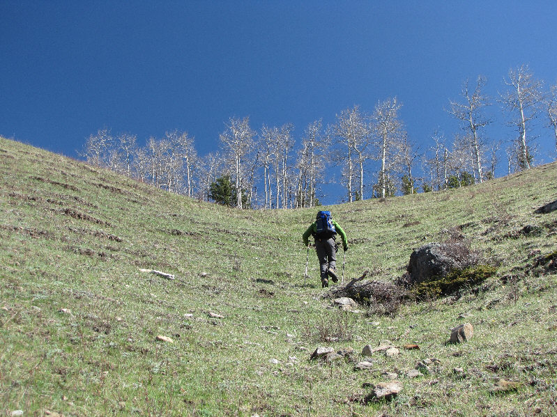
Bob climbs up the hillside. |
|
|
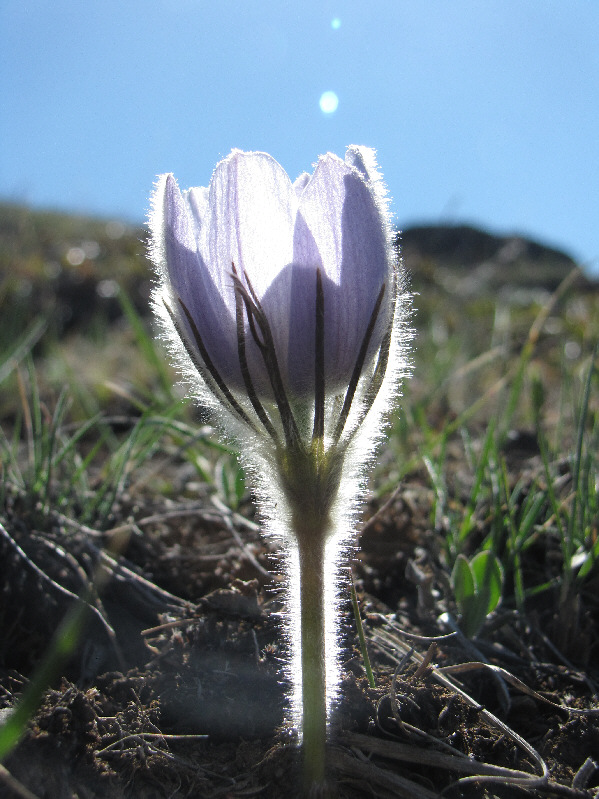
A prairie crocus blooms in the sunshine. |
|
|
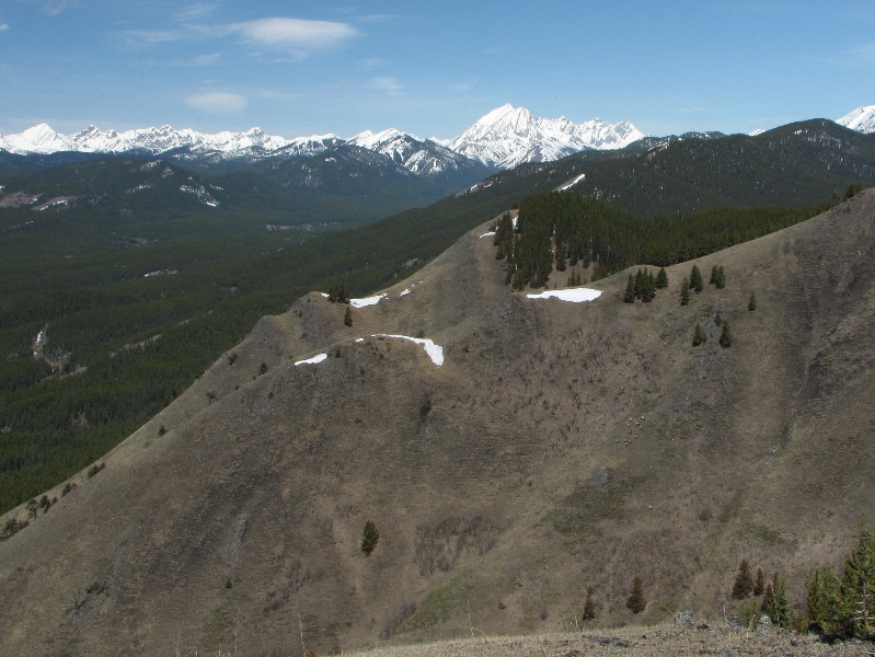
Baril Peak (left) and Mount Cornwell attract attention to the southwest. |
|
|
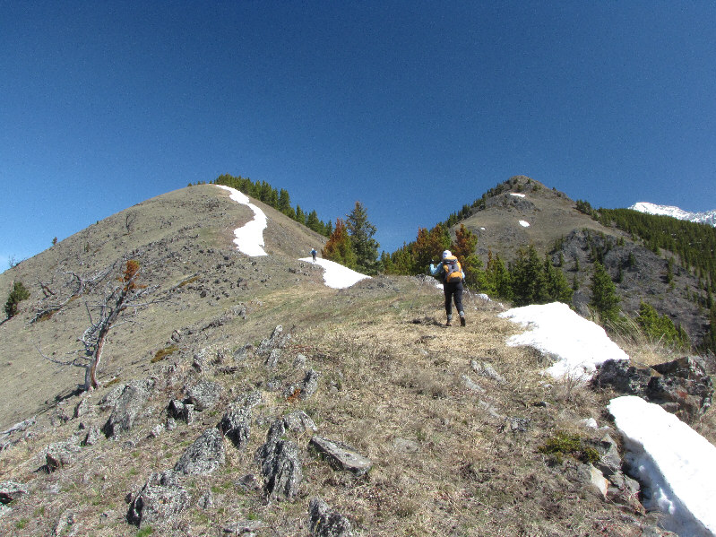
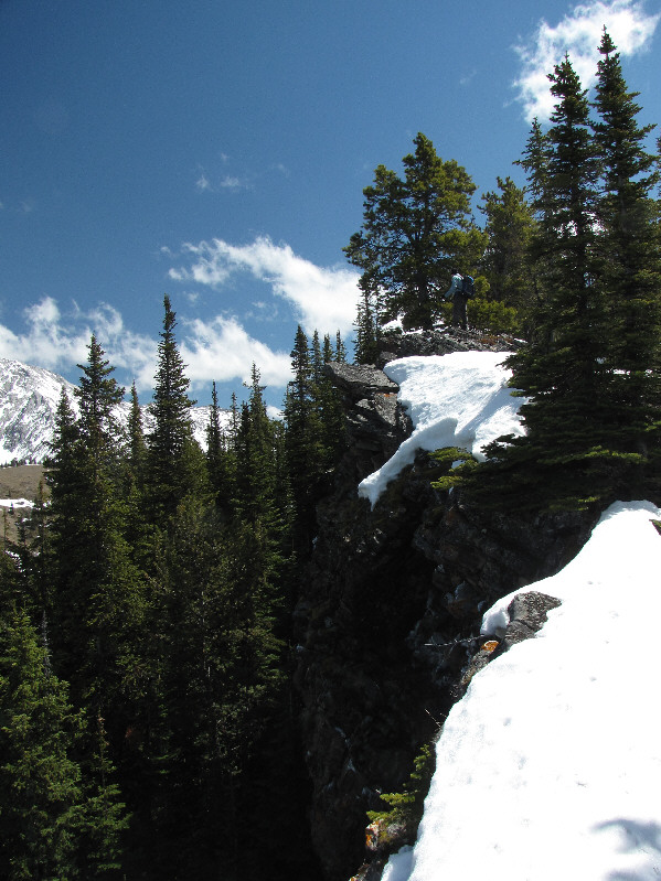
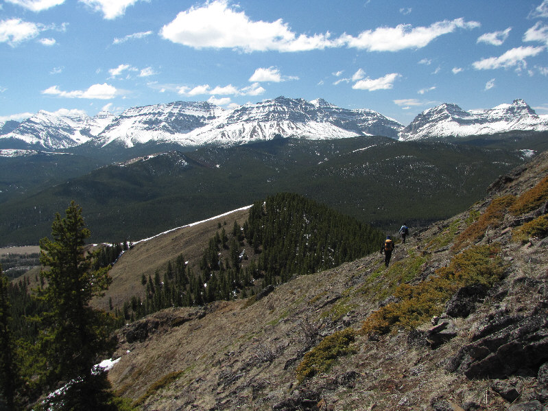
Bob and Dinah climb up the ridge toward the first high point (right). |
|
|
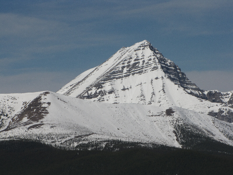
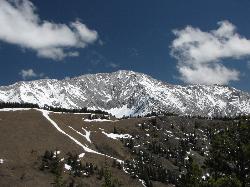
Mount McPhail is one of the most striking peaks on the Continental Divide. |
|
|
Mist Mountain stands out on the horizon in this view to the north. A herd of elk can also be seen grazing on the next hillside. |
|
|
Here is a closer look at the herd of elk from the previous photo. |
|
|
Bob examines a strange cage-like structure which is likely used to monitor the extent of grazing activity in the area. |
|
|
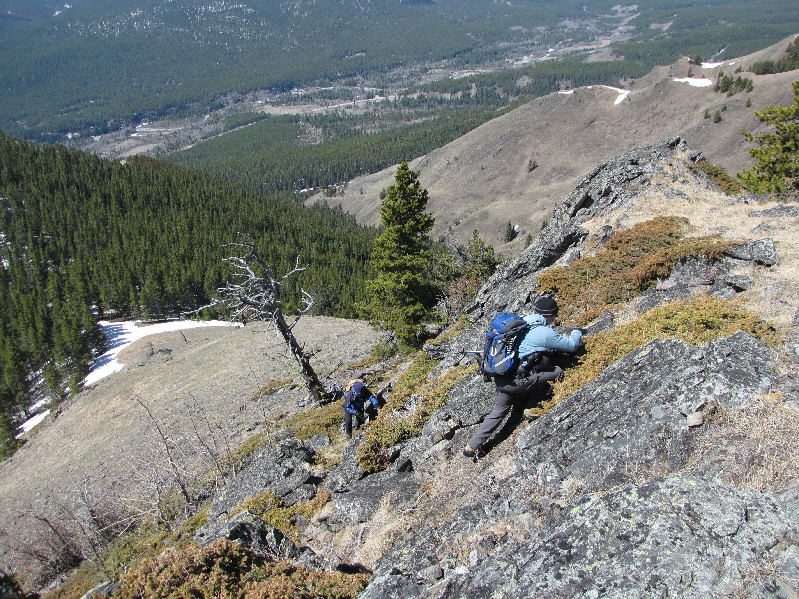
Dinah and Bob scramble up a rocky section. |
|
|
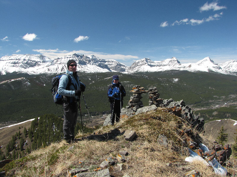
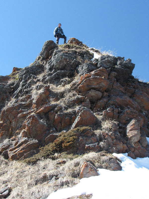
Bob and Dinah reach the first high point (2073 metres). |
|
|
Bob looks for a way down the lee side of the first high point. |
|
|
Dinah and Bob post-hole through one of many lingering snow patches. |
|
|
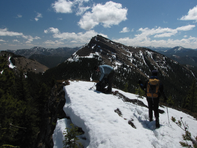
Dinah and Bob drop down another short dip before climbing up to the second high point (centre). |
|
|
Bob peers over the edge of a precipitous drop-off on the lee side of the second high point. |
|
|
Bob and Dinah reach the second high point (2149 metres) with Junction Hill dominating the view to the southeast. |
|
|
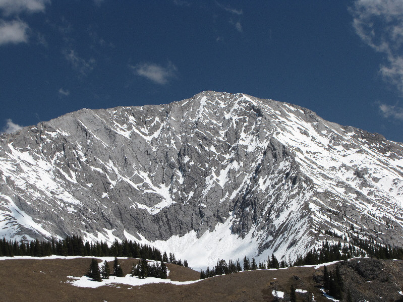
Due east is Holy Cross Mountain. |
|
|
Here is a closer look at Holy Cross Mountain. |
|
|
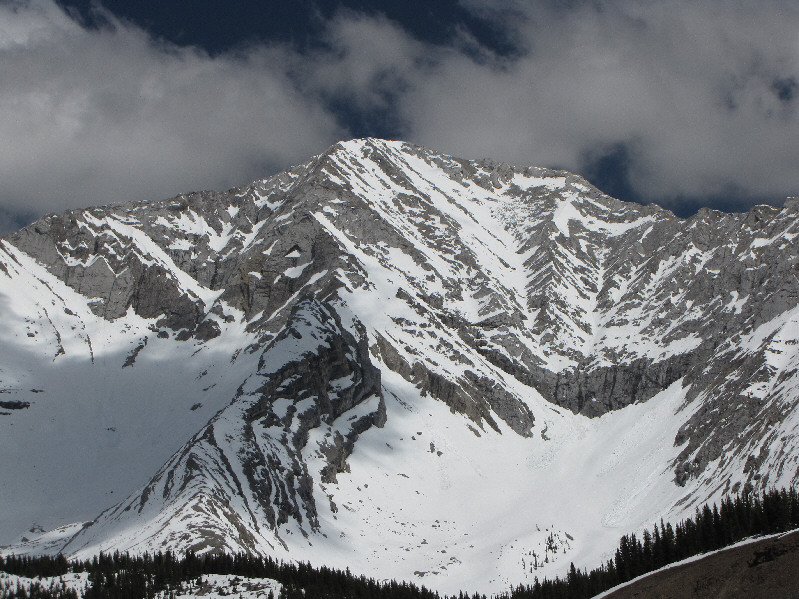
Mount Head is to the northeast. |
|
|
Here is a closer look at Mount Head. |
|
|
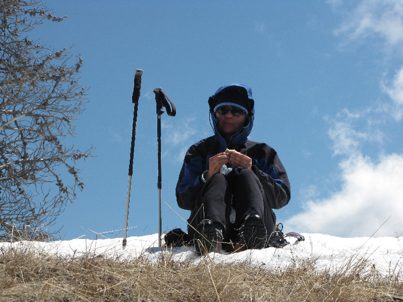
Dinah nervously eats her lunch while sitting on her pack on top of a snow patch. She is worried about the marauding swarms of ticks infesting the area. |
|
|
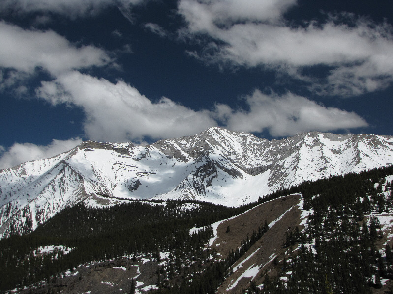
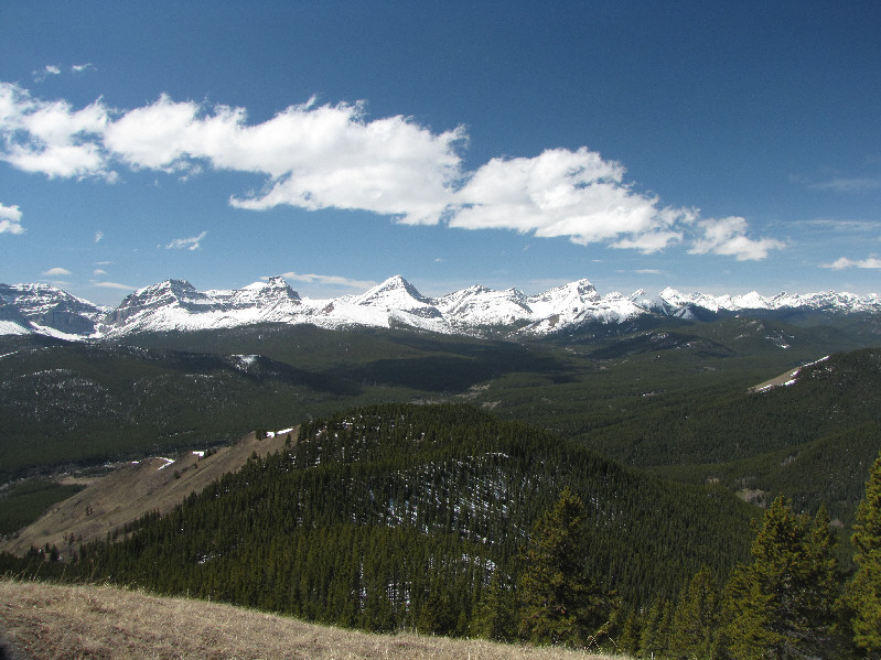
Here is another look at the Continental Divide from the Cat Creek Hills. |
|
|
Dinah and Bob head back down the ridge. |
|
|
Total Distance: 13.5 kilometres Round-Trip Time: 6 hours 11 minutes Total Elevation Gain: 1236 metres |