


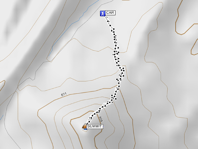
Total Distance: 2.76 kilometres
Round-Trip Time: 2 hours 56 minutes
Total Elevation Gain: 337 metres
|
|
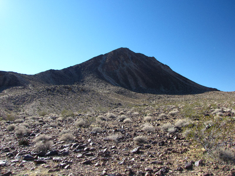
The route ascends the left-hand ridge. |
|
|
The trailhead is a bit cluttered with electrical towers. |
|
|
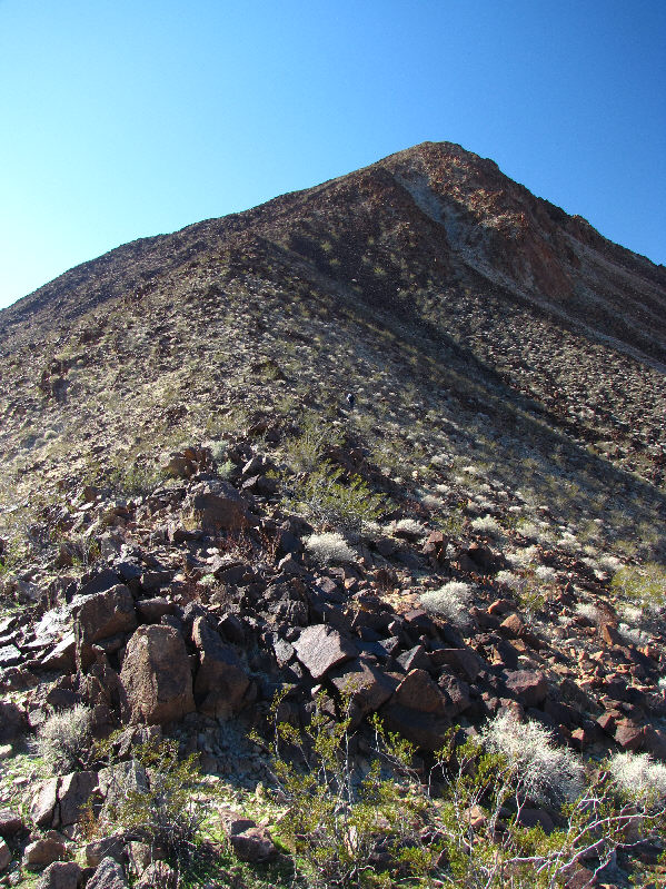
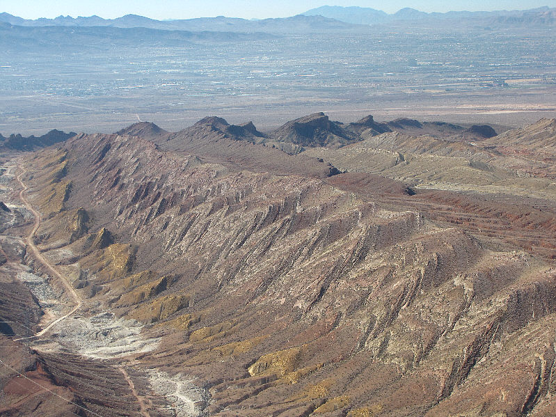
This is looking up the northeast ridge of Lava Butte. |
|
|
A side-blotched lizard climbs onto a sunny lava rock. |
|
|
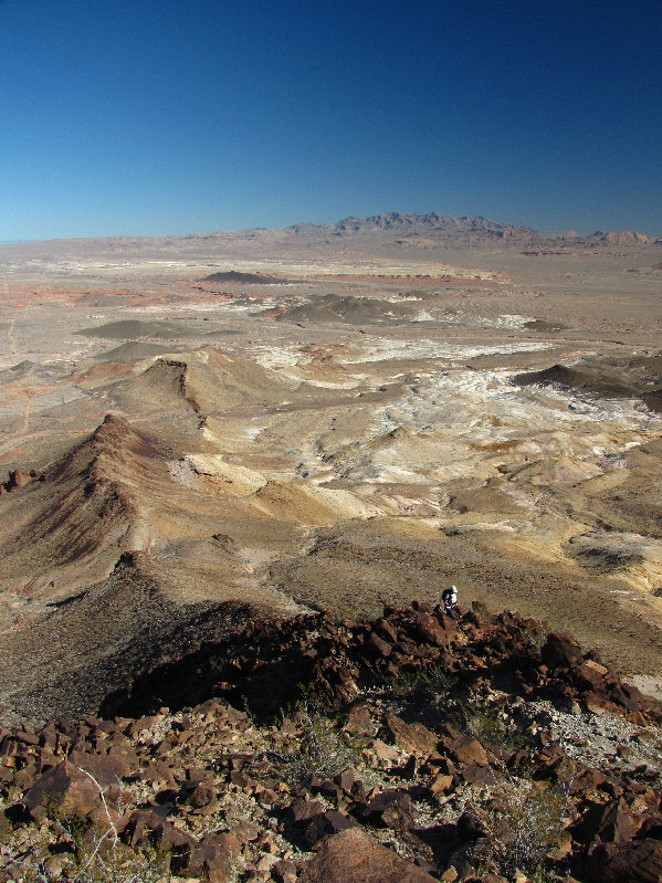
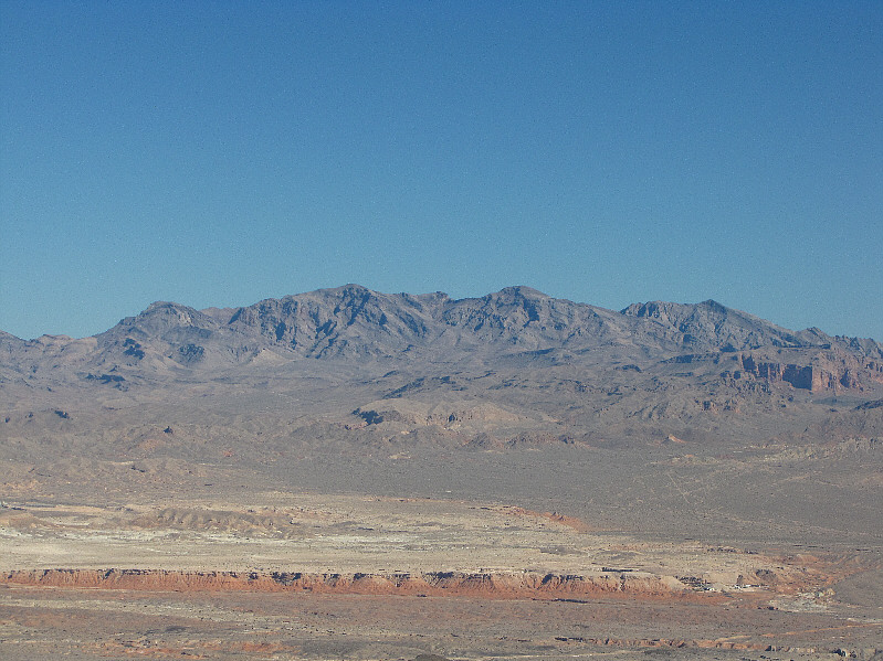
Kelly ascends the upper part of the northeast ridge. On the horizon are the Muddy Mountains. |
|
|
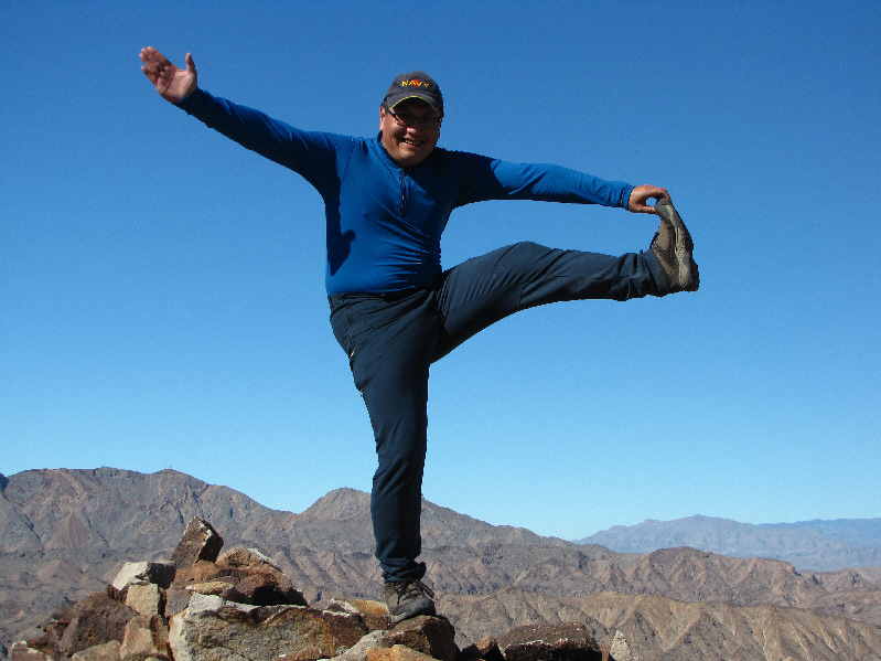
Kelly and Sonny stand proudly on the 873-metre summit of Lava Butte. |
|
|
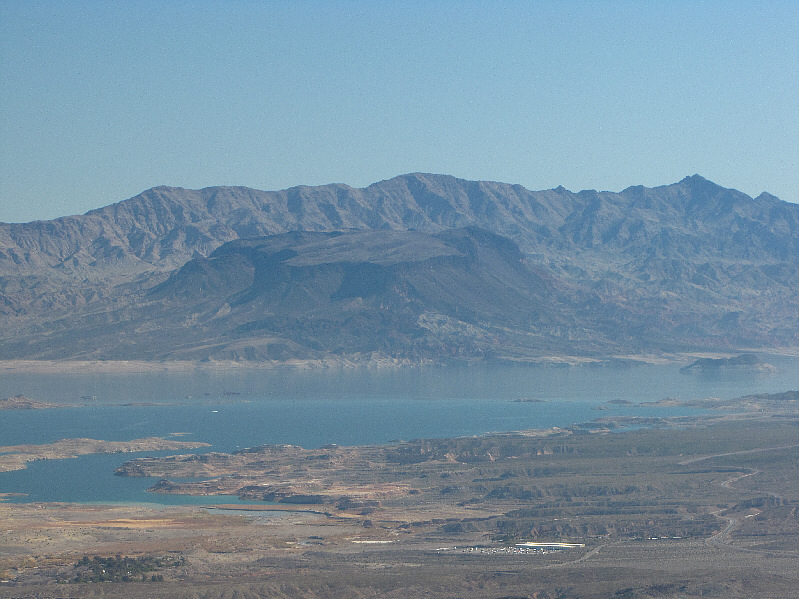
Lake Las Vegas is visible to the south. On the horizon at far right is Black Hill. The prominent gap to its left is Railroad Pass. |
|
|
The interesting formations to the southwest are known as Rainbow Gardens. |
|
|
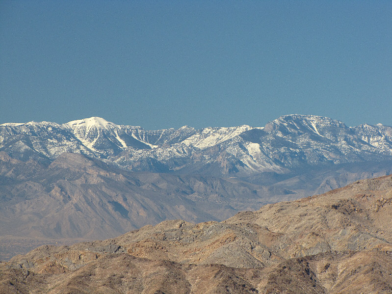
Further to the southwest is the massive hulk of Potosi Mountain. |
|
|
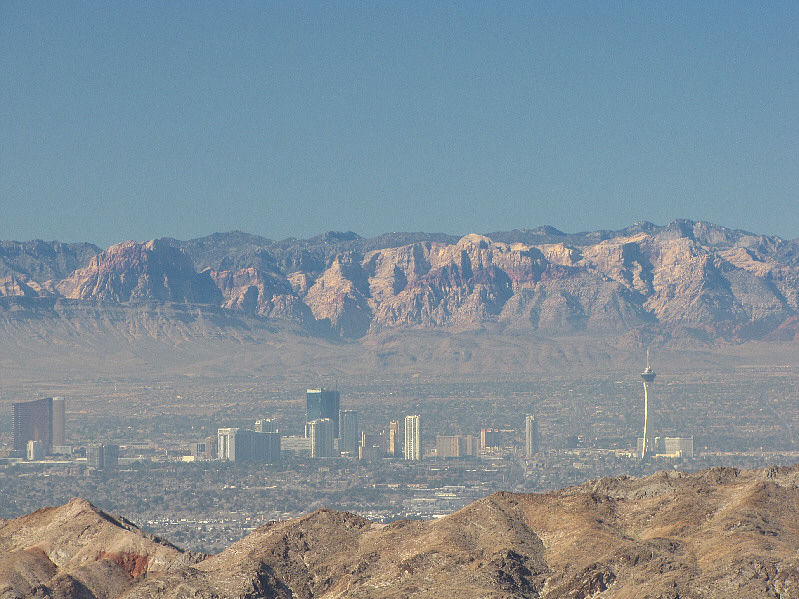
Beyond the Las Vegas Strip to the west are Rainbow Mountain (far left), Bridge Mountain (right of centre), and North Peak (directly above the Stratosphere). |
|
|
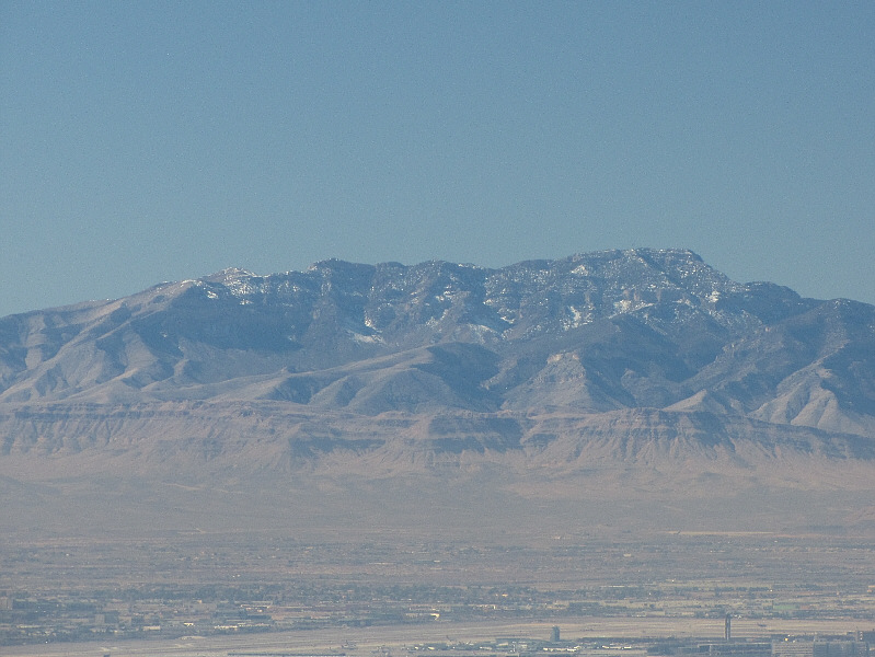
Also visible to the west are Charleston Peak (left) and Mummy Mountain (right). |
|
|
Closer at hand is the east face of Frenchman Mountain. |
|
|
Here is another look at the Muddy Mountains to the northeast. |
|
|
The view to the southeast includes Lake Mead, Fortification Hill (centre), and Mount Wilson (far right). |
|
|
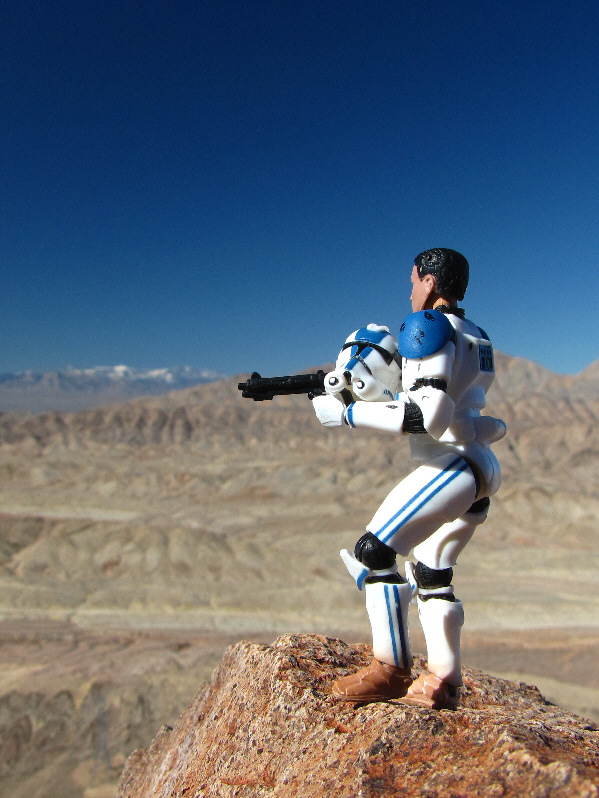
This is Sonny's tribute to Harlan Stockman, the Bob Spirko of Las Vegas, Nevada. |
|
|
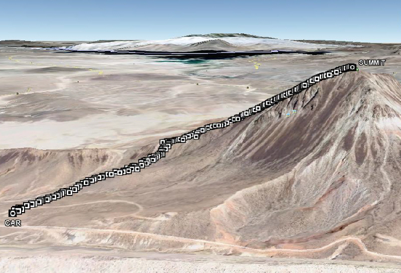
This is the route as viewed in Google Earth. |
|
|
Total Distance: 2.76 kilometres |