BOU AVENUE
Kent Ridge North Summit
Kent Ridge North Summit is the high point of a ten-kilometre long ridge running parallel to the Smith-Dorrien/Spray Trail (Highway 742) in Alberta's Peter Lougheed Provincial Park.  With a fantastic weather forecast for 8 September 2012, I invited Kelly Bou and Shelley Skelton to join me for an ascent of this high point via the described route in Gillean Daffern's Kananaskis Country Trail Guide.

Right off the bat, we had some route-finding issues as I misinterpreted Daffern's rough sketch of a map.  We ended up wandering too far along the snowshoe trail and had to backtrack a little to regain the correct route (obvious cairns and flagging with steady elevation gain).  Further up, we found the "wee cairn" mentioned by Daffern and thrashed our way through the very overgrown side road to meadowy slopes beyond.  After a somewhat unpleasant traverse of these slopes, we climbed up the steep and dirty north fork gully to the col separating Kent Ridge North Summit from its western outlier (GR244254).

At the col, Shelley had some concerns about overextending herself and opted to wait there while Kelly and I continued up Kent Ridge North Summit.  Though technically easy, this last part of the ascent up never-ending scree was depressingly monotonous.  An encounter with a ptarmigan along the way provided some brief but welcomed amusement.  The summit register read like an interesting who's who of local peak-baggers which attests to the popularity of this high point despite its unofficial status.  After spending about 35 minutes on top, Kelly and I retraced our steps back to the col to rejoin Shelley who was well-rested after waiting patiently for over 2.5 hours.

Instead of returning via the nasty north fork gully, we opted to scramble up to the western outlier and descend its easier south ridge instead.  The terrain between the col and the top of the western outlier is steep and loose, but Shelley, a novice hiker, handled it without complaint.  As expected, we had no problems descending the incredibly scenic south ridge, and the hike down the old road through the trees was also quick and painless.  Dinner at the Stony Nakoda Resort and Casino capped off another thoroughly enjoyable day in the hills.
Wonder what the girls are chatting about... 
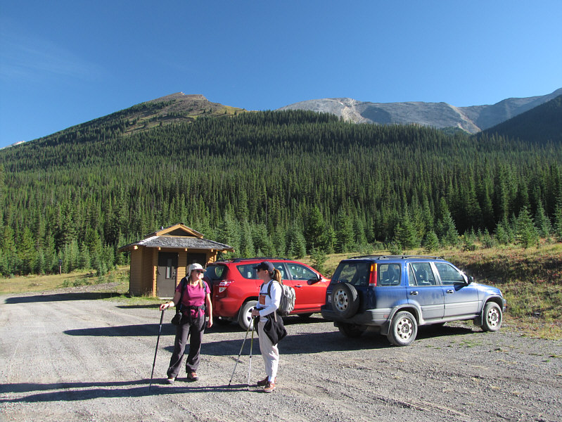
Kent Ridge North Summit (right of centre) and its western outlier (left) are visible from the trailhead parking lot.
There was a road here?? 
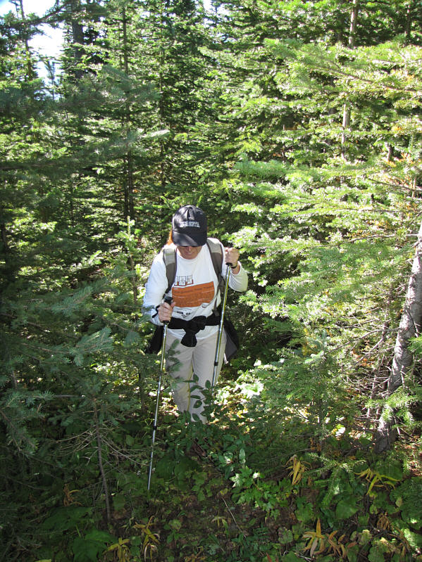
Shelley thrashes along the overgrown road.
Yummy! 
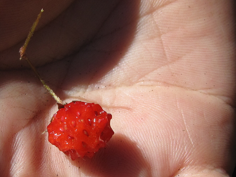
Wild strawberries help alleviate some of the misery of the overgrown road.
Unpleasant hiking. 
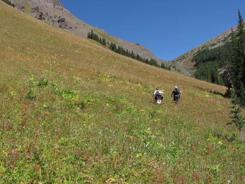
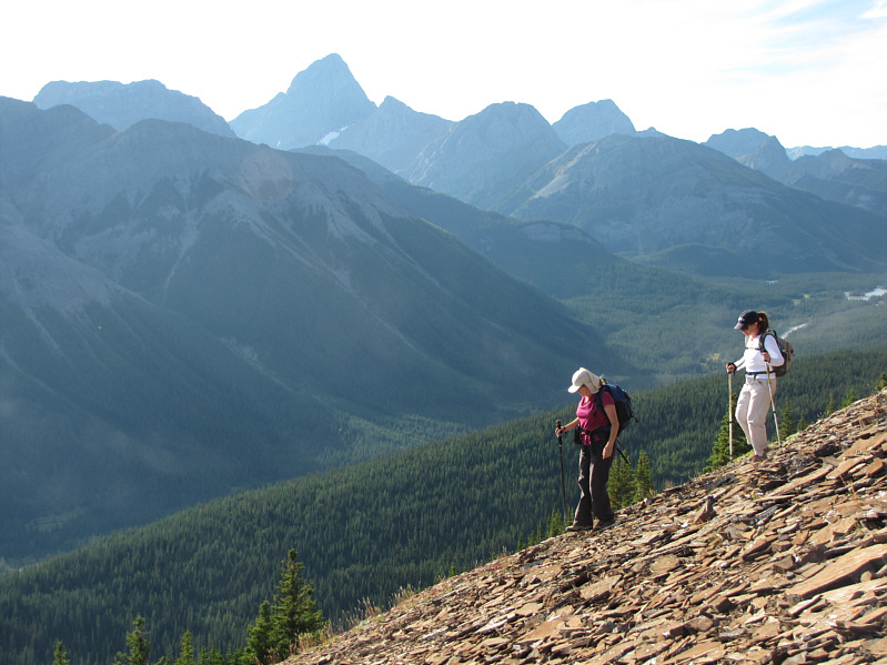
Aiming for the gully ahead, Shelley and Kelly traverse a meadowy slope.
Despite water flowing down, it's best to stick to the middle as much as possible. 
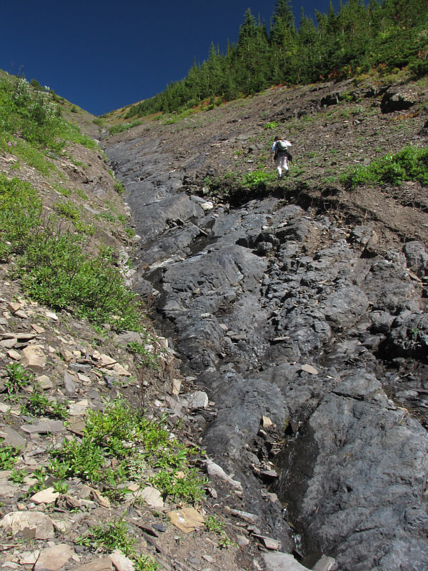
Shelley climbs up the north fork gully.
Shelley likes to get down and dirty! 
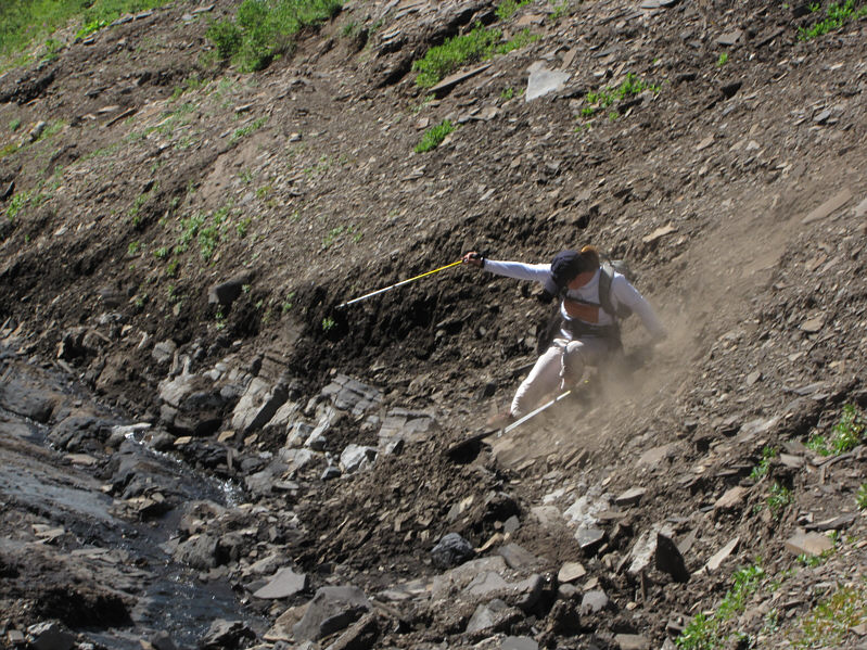
Shelley slips down an embankment into the gully.
Easy scrambling. 
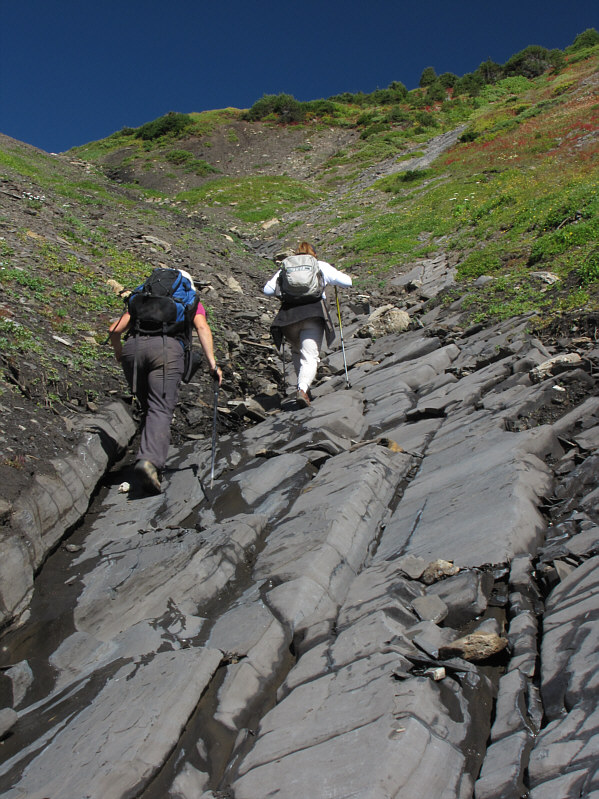
Kelly and Shelley make better progress climbing the slabs in the gully.
Spot the moon? 
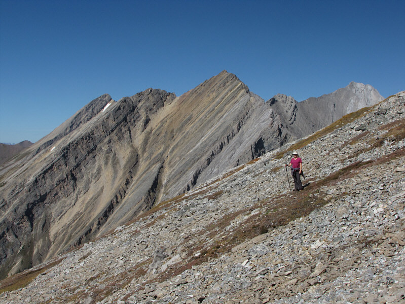
Kelly and Shelley take a break at the col. The striking peak at left is Mount Birdwood.
This grassy lower part would be pleasant to descend later. As Kelly pauses for a break, Shelley (white spot) can be seen at the col below the western outlier.
Oddly, the striking peak at centre is unnamed. Kelly pauses for another break on the way up the slope. Mount Chester is visible at left (snow patch).
Kelly was really motoring upwards though! 
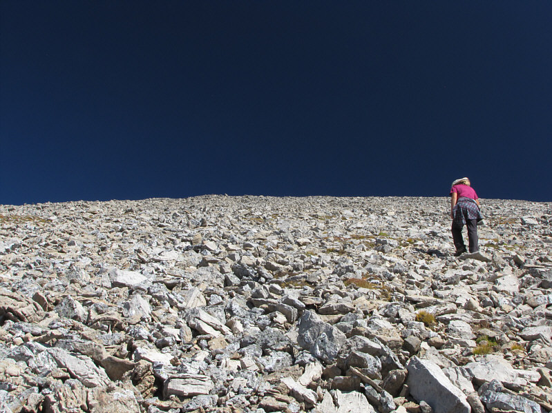
The scree slope does not look very inspiring.
I nearly stepped on this one before seeing it! The slope is home to many ptarmigans like this one.
Don't give up! 
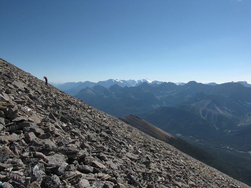
Climbing the slope is tiring work. Mount Joffre looks striking on the horizon.
Yay!! Sonny and Kelly stand beside the cairn on the highest point (2923 metres) of Kent Ridge.
And the western outlier of Kent Ridge North Summit is just visible over the edge of the scree slope. 
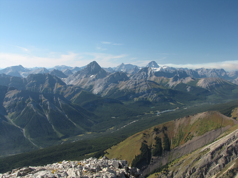
Some of the recognizable peaks to the southwest include Mount King George, Mount Jellicoe, Mount Smith-Dorrien, Mount French, Mount Sir Douglas, Mount Murray, and Mount Burstall.
As Daffern says, "the view is 7-star". 
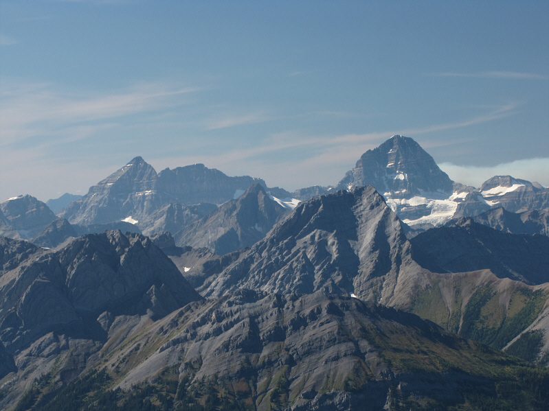
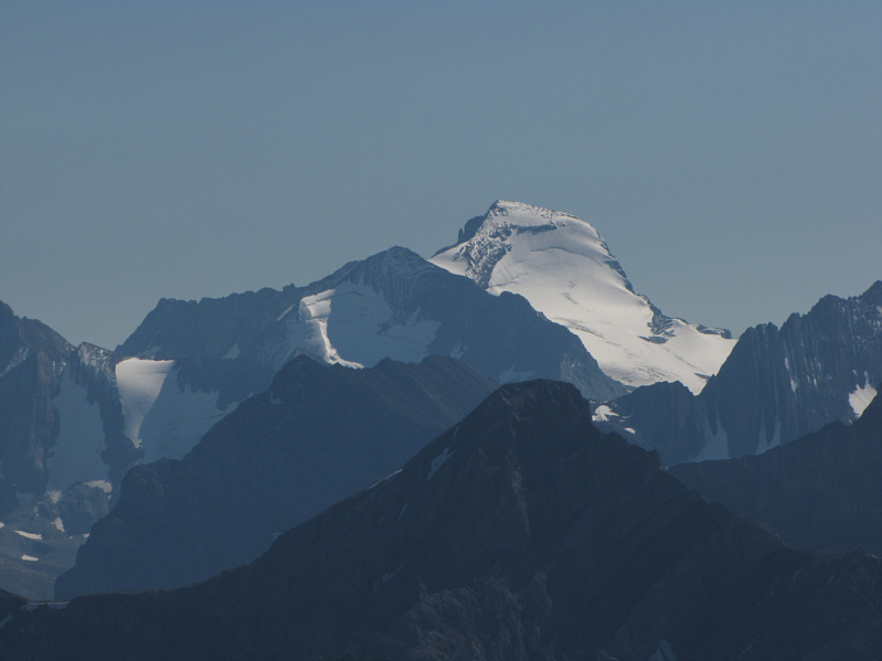
The two most prominent peaks to the west are Mount Birdwood (left) and Mount Assiniboine (right).
Maybe next year to do the 'Boine... Here is a closer look at Mount Assiniboine (right). Eon Mountain and Aye Mountain are also visible on the horizon while in the foreground are Commonwealth Peak and Mount Smuts.
Note the muddy tarn in the valley below. 
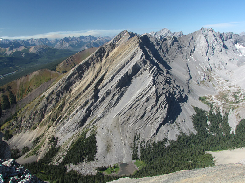
Mount Chester (centre) and Mount Galatea (right) are barely visible behind the unnamed peak to the northwest.
Looks like a long scree slog! To the north is Mount James Walker.
An epic scramble...for me! 
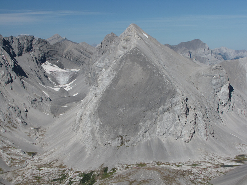
Mount Inflexible dominates the view to the northeast.


Kent Creek valley is likely seldom visited.

Mount Lawson (left) is on the far side of Kent Creek valley. The Opal Range is also visible in the distance.


One of those bumps in the distance is the summit of Mount Kent. 
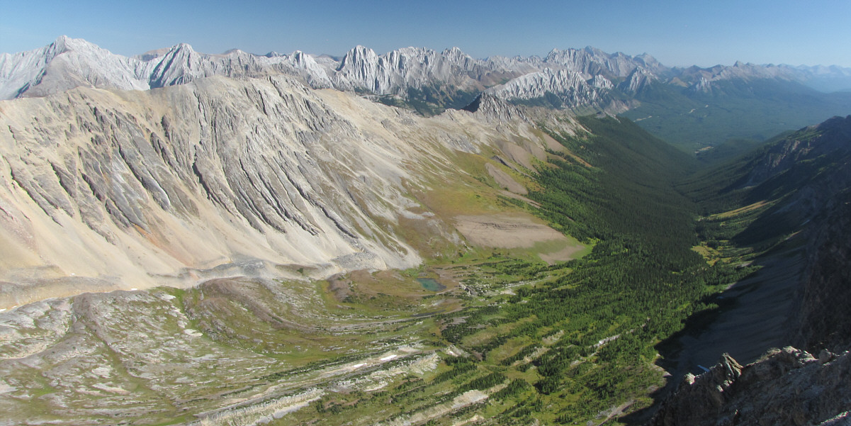
Kent Ridge stretches away to the southeast.
I hope to climb this peak in the near future. Gleaming Mount Joffre is unmistakable on the southern horizon.
Is she signing with her eyes closed?? 
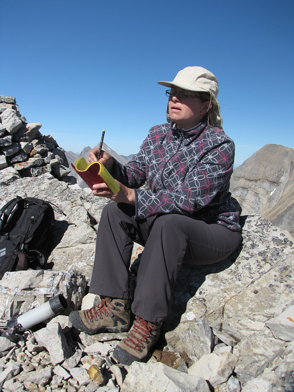
Kelly signs the summit register.
Two rock bands need to be circumvented. 
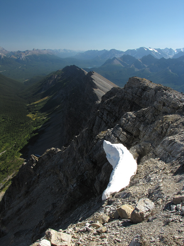
Kelly and Shelley head for the western outlier from the col.
Shelley's first summit! Shelley, Kelly and Sonny stand atop the western outlier (2559 metres).
Still looks like an uninspiring slog! 
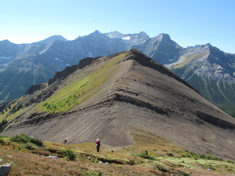
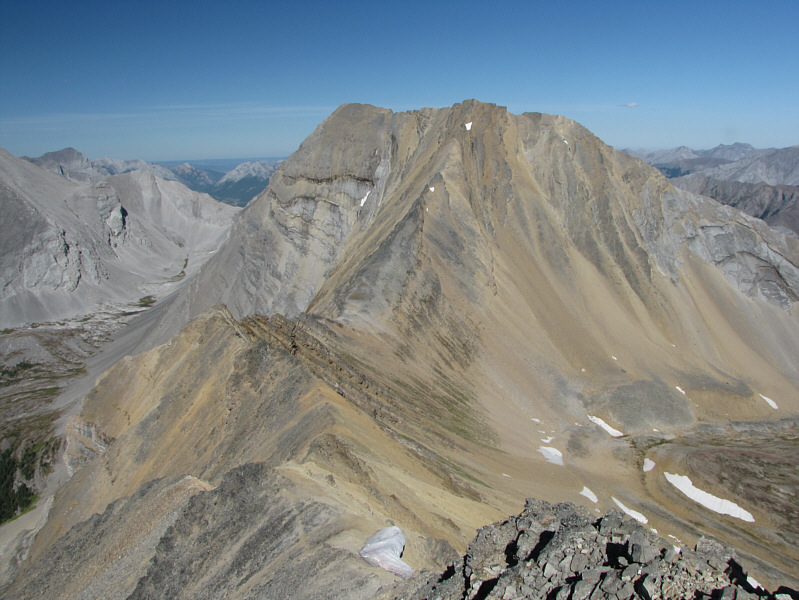
Here is a less foreshortened view of the west slope of Kent Ridge North Summit.
Disco lives! Shelley points out the next peak she wants to climb!
Excellent company on this day! Kelly and Shelley make their way down the ridge.
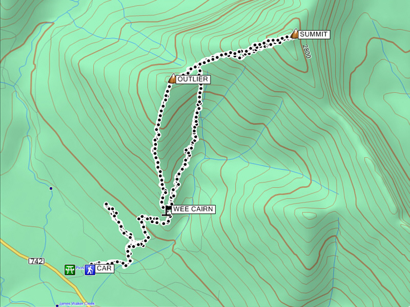
The summit has better views, but the outlier has better scrambling/hiking. Total Distance:  10.8 kilometres
Round-Trip Time:  8 hours 32 minutes
Total Elevation Gain:  1171 metres

GPX Data