BOU AVENUE
Grays Peak
Among the Pioneer Mountains of central Idaho, Grays Peak is relatively obscure and probably largely ignored by serious mountaineers.  However, I first spotted this mountain a few years ago from the summit of Hyndman Peak and thought it would make for an easy objective from one of the nearby campgrounds in the East Fork Wood River valley.  A short route description can be found in Tom Lopez's excellent guidebook, Idaho: A Climbing Guide.  After spending a night camping at Federal Gulch campground, I hiked up Grays Peak via its west ridge on 30 August 2015.  An alternate route approaches the peak along a well-maintained Forestry Service trail (FST-169) which starts at the east end of the campground, but opting to save this route for my descent, I left the trail and hopped over to the north side of the creek along Federal Gulch.  After an initial steep grind up the end of Grays Peak's west ridge, I settled into a moderately steep hike most of the way to the summit.  One knife-edged section about a third of the way up presents an opportunity for some hands-on scrambling, but it is easy enough to bypass any difficulties that prove too challenging.  I spent about half an hour on the summit before retreating a short distance along the west ridge.  I then dropped down a steep, south-facing grassy slope to pick up FST-169 before hiking easily back to the campground.  Although it was tempting to stick around and climb other easy peaks in the area, I decided to move on and save those peaks for a return trip in the future.
Actually, the creek was right behind the tree, and I had a big stump to use as a table. 
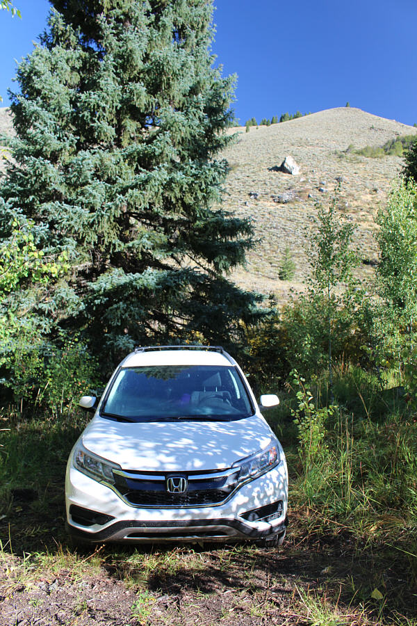
Sonny's campsite at Federal Gulch campground is rather spartan.
The campground is hidden by trees just below and to the right of centre. 
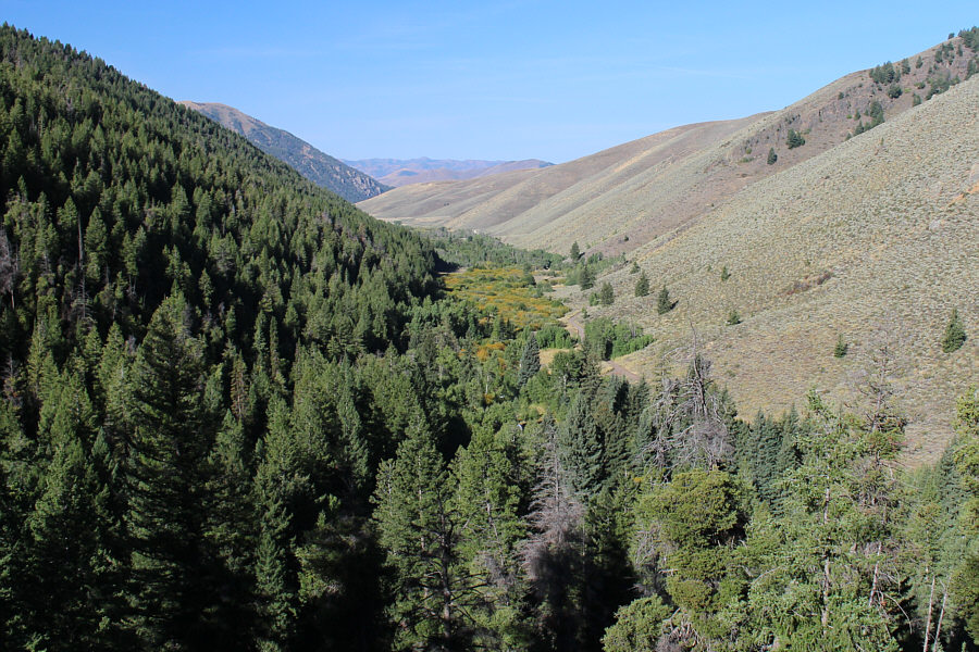
Here is a view of Federal Gulch from the west ridge of Grays Peak.
Prepare for a very pleasant ridge walk. 
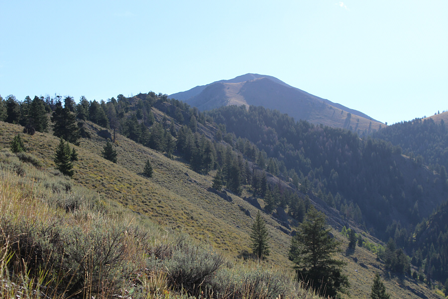
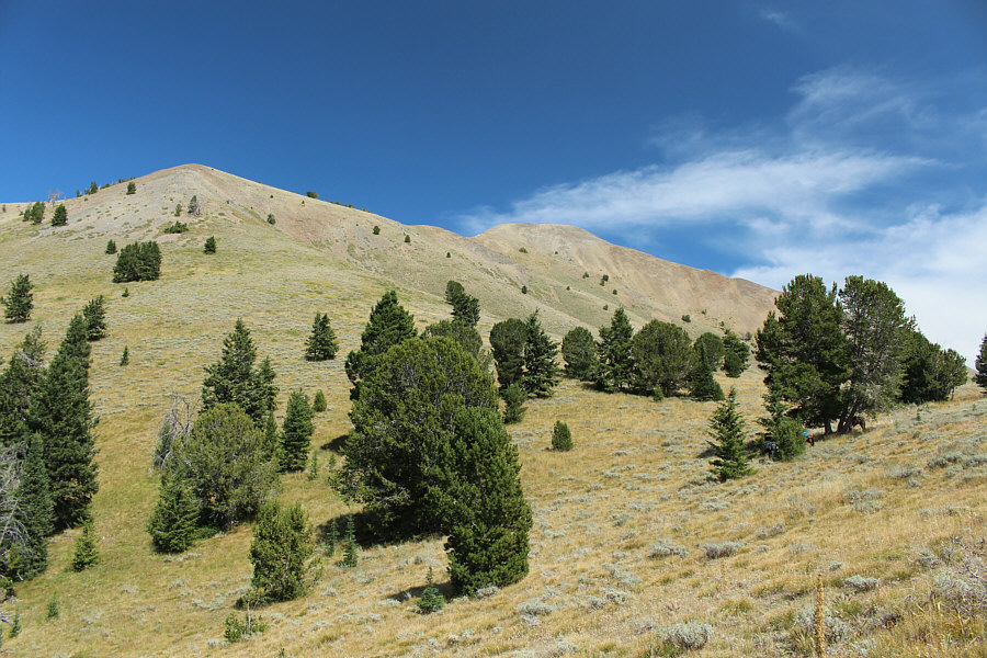
Most of the west ridge of Grays Peak can be seen here.  FST-169 climbs over the saddle at far right.
Bushwhacking is minimal or non-existent on the ridge. Yay! 
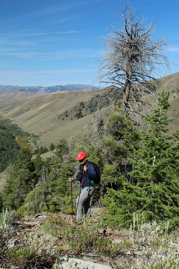
Sonny easily skirts around some trees along the ridge.
The section ahead is probably the steepest along the entire west ridge. 
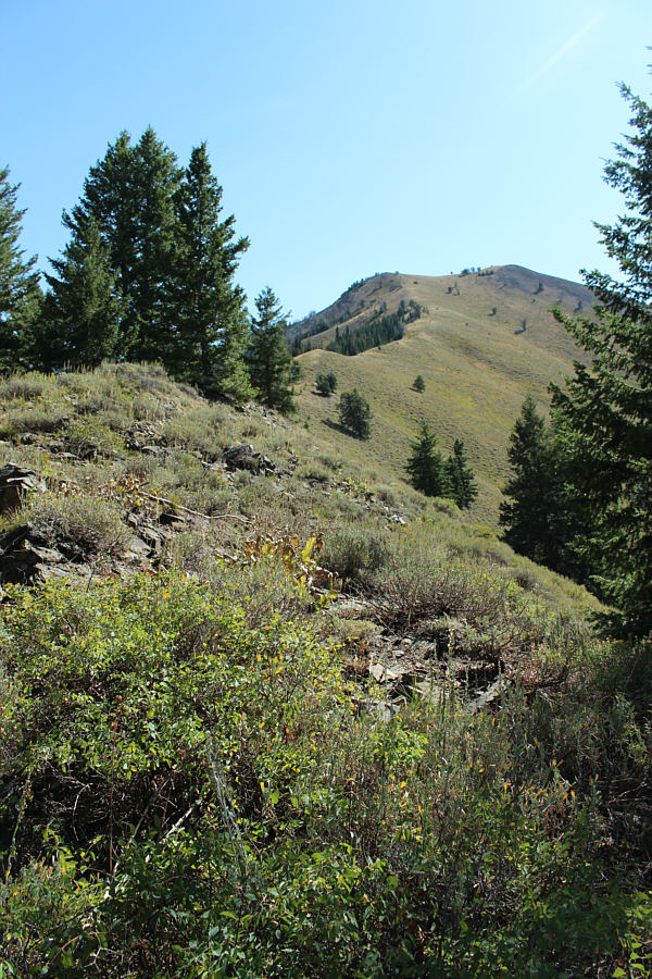
The trees start to thin out higher up the ridge.

 I hope to come back and climb all these other peaks someday.

Some of the bigger peaks of the Pioneer Mountains can be seen to the north including Cobb Peak (far left), Old Hyndman Peak (left), Jacqueline Peak (right), and McIntyre Peak (peeking over the right shoulder of Jacqueline Peak).


We're almost there! The west ridge continues along the right skyline.
I took a break here to answer some e-mails! The final rise to the summit presents no serious challenges.
That's actually a wire--not a hair on my camera lens! Sonny stands on the summit of Grays Peak (3220 metres).
Finally can see Hyndman Peak (highest peak in Pioneer Mountains). 
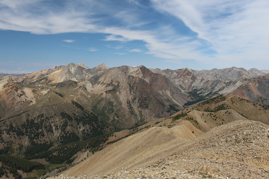
The views to the north command the most attention.
Looks like a great place for extended ridge walks. 
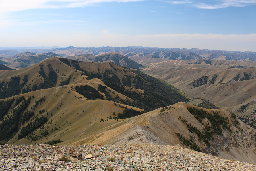
The area immediately to the east is predominantly made up of ridges and rolling foothills.
That ridge to the left looks inviting... This is looking back down the west ridge (bottom right) of Grays Peak.

 Beautiful peaks--I definitely want to come back and climb Cobb and Old Hyndman.

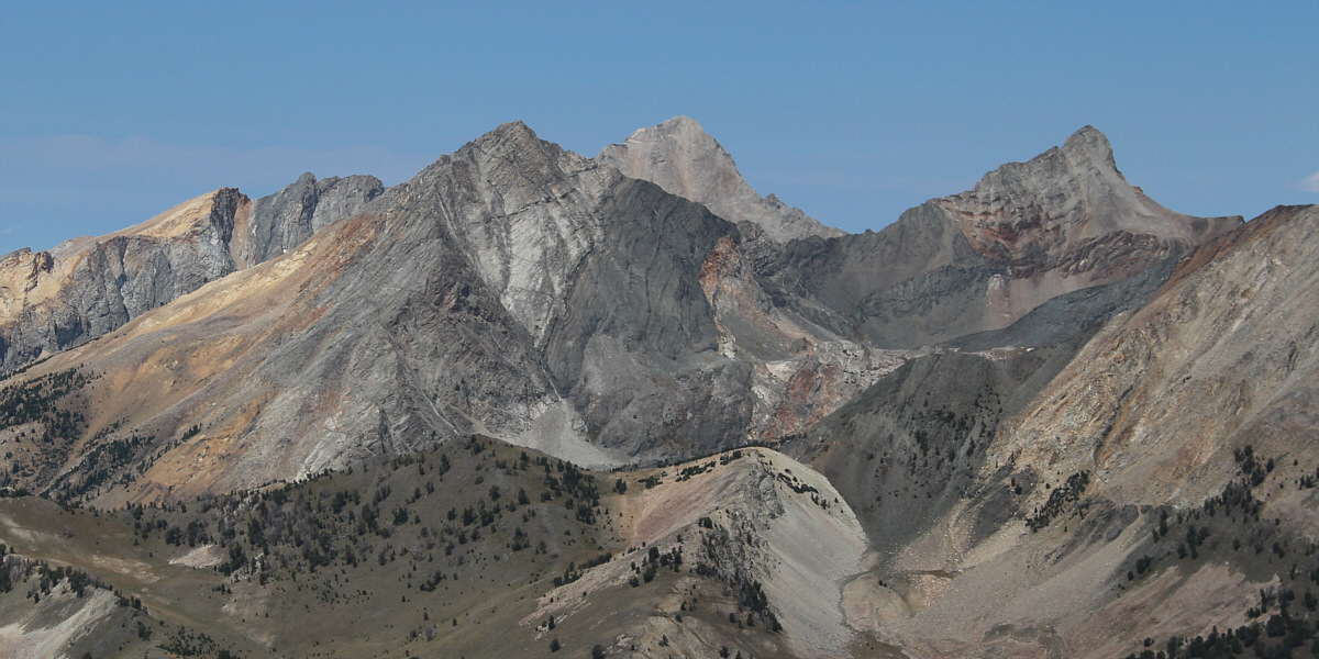
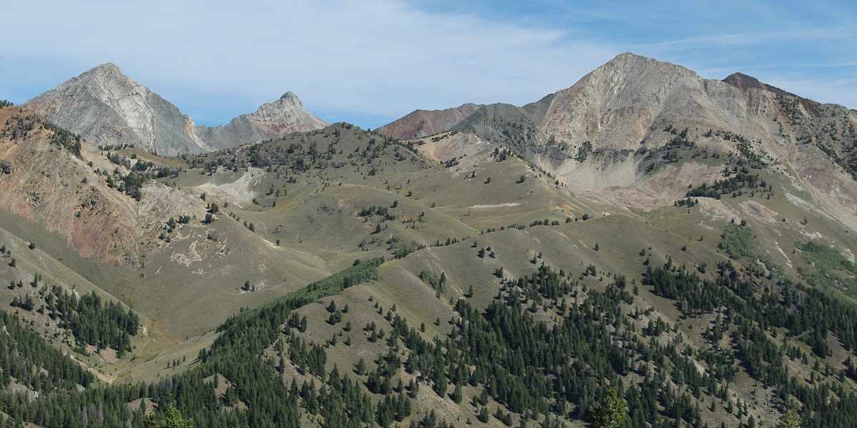
Here is a closer look at the heart of the Pioneer Mountains: Cobb Peak, Hyndman Peak, and Old Hyndman Peak.


These ones actually look kinda scraggly... 
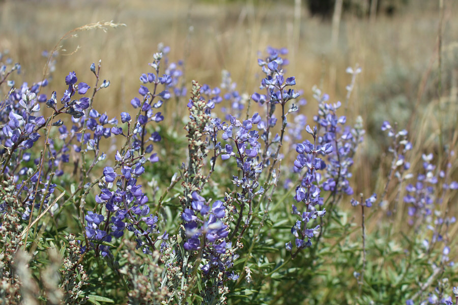
Lupins can be found on the grassy slopes of Grays Peak.
Not sure where the riders went (not up Grays Peak)... 
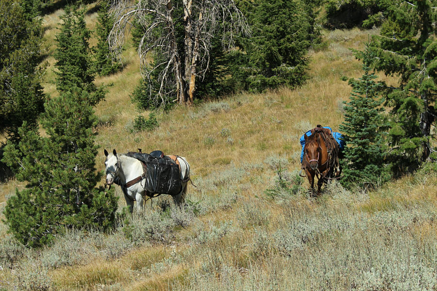
A couple of horses are tied up near the trail.
The slope is steeper than it looks. It would be a real grunt to go up this way. The summit of Grays Peak is just right of centre.  Sonny descended the slope at left to gain the trail (FST-169).
Buzz, buzz. 
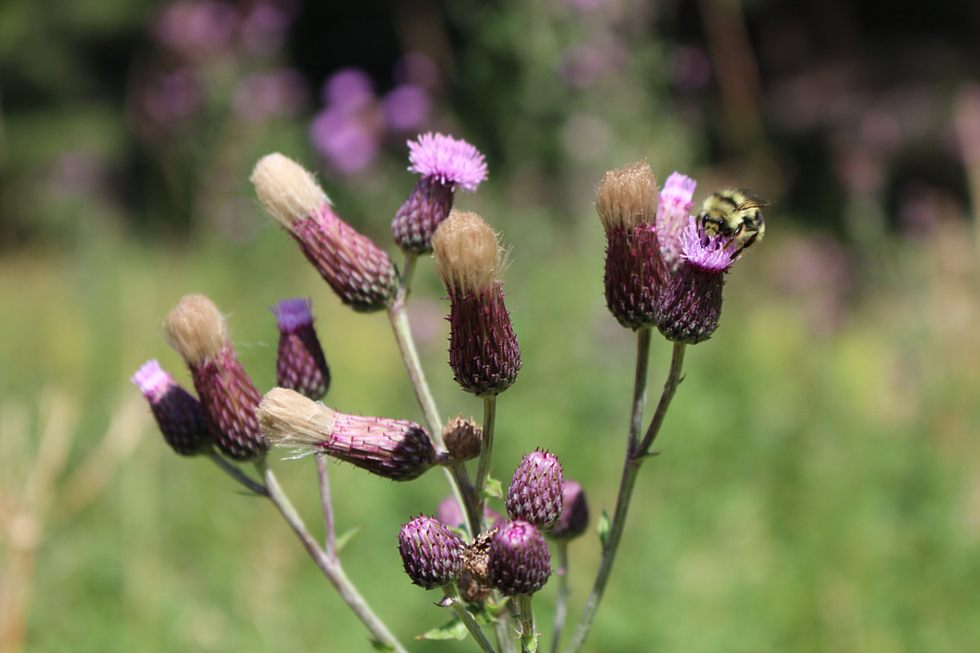
A bee keeps busy on one of the flowers of a thistle.
Where shall I go next? 
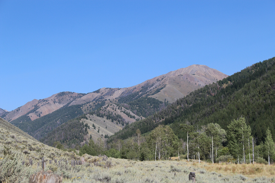
Here is one last look at Grays Peak and its west ridge from the access road.
Big and easy...that's how I like 'em! 
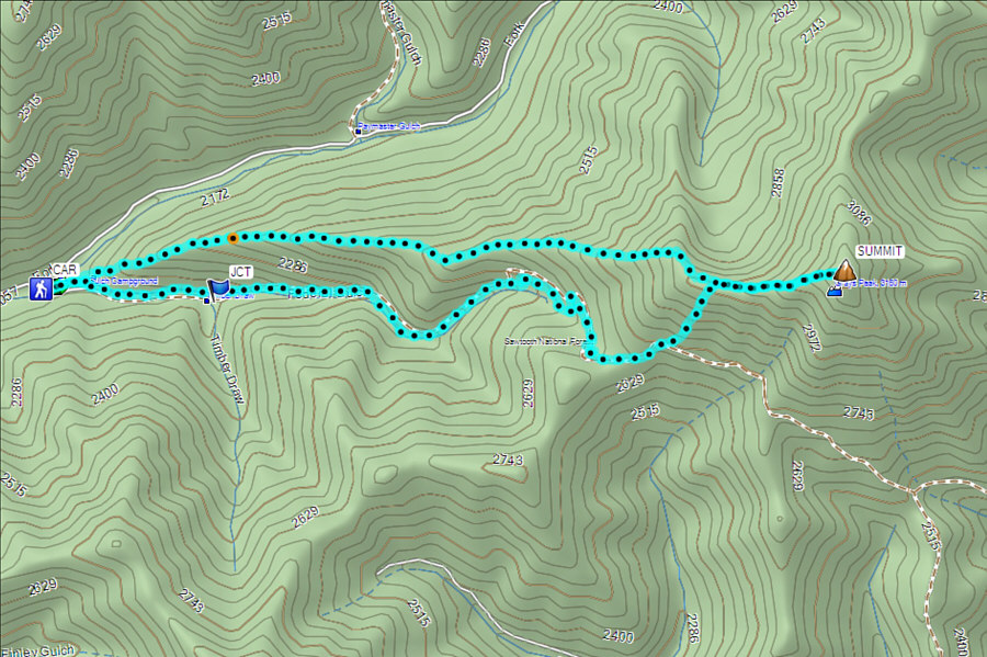
Total Distance:  12.4 kilometres
Round-Trip Time:  7 hours 24 minutes
Net Elevation Gain:  1151 metres

GPX Data