Photo courtesy of Zosia Zgolak


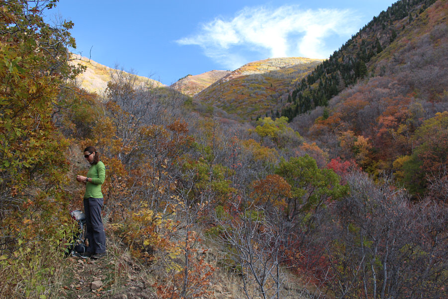
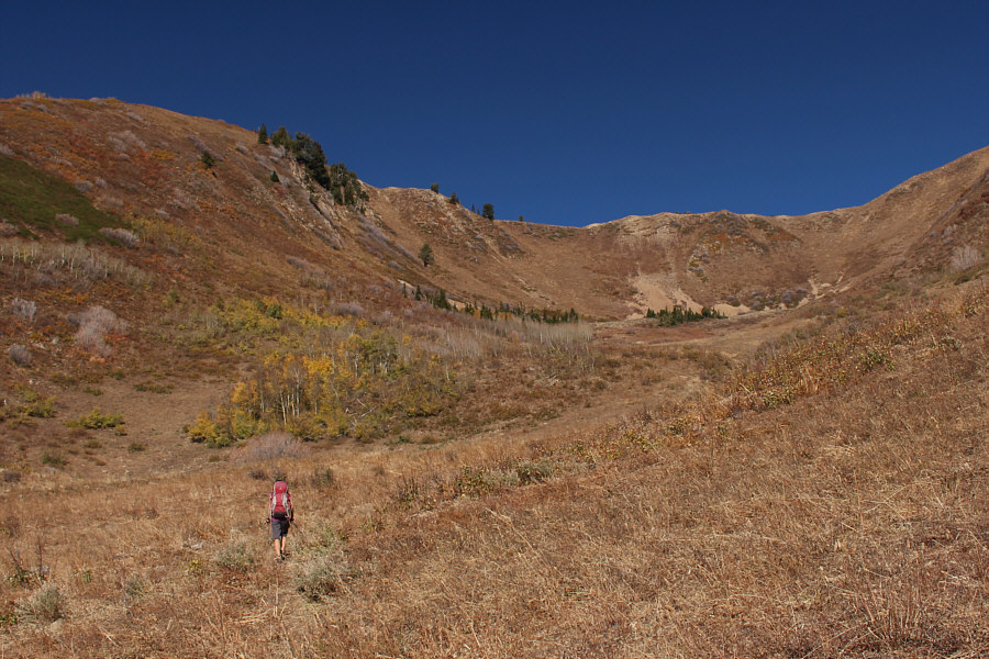
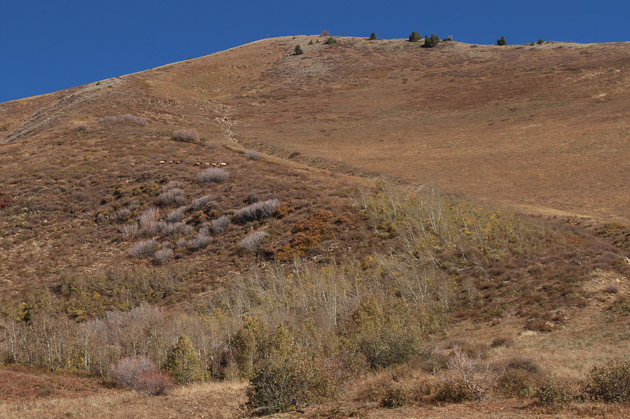


Photo courtesy of Zosia Zgolak


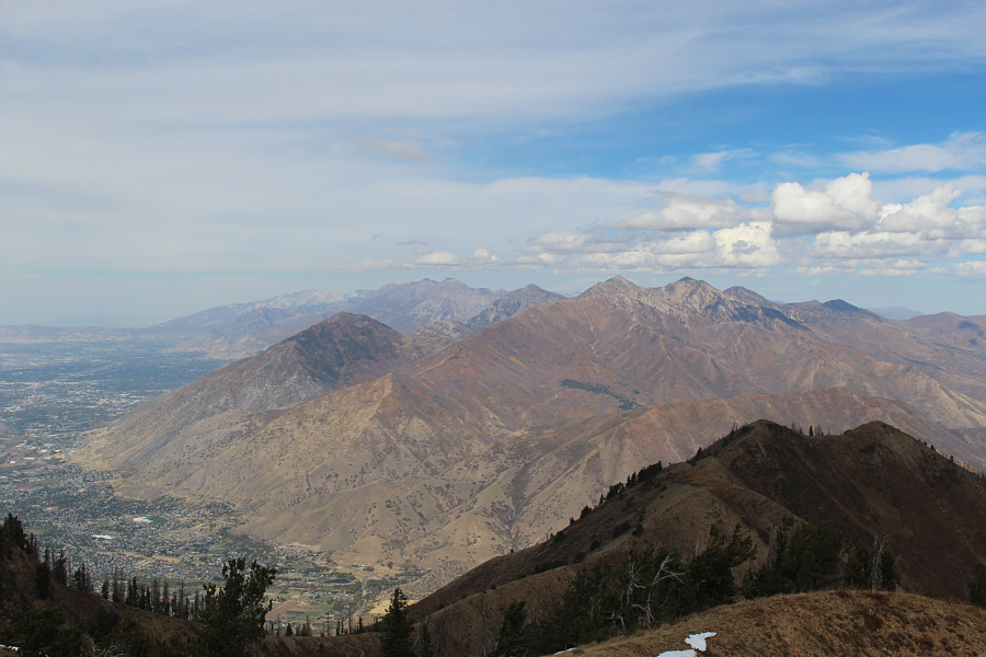
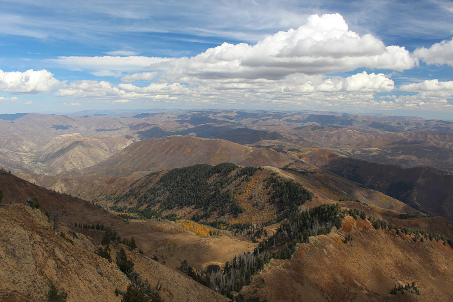

Photo courtesy of Zosia Zgolak
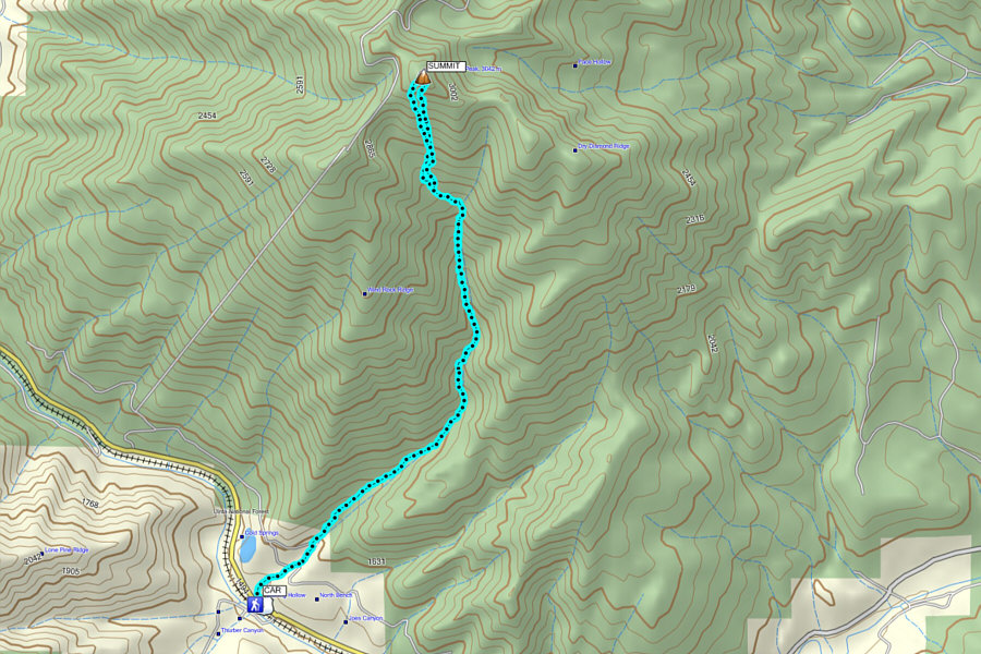
Round-Trip Time: 6 hours 40 minutes
Net Elevation Gain: 1620 metres
|
|
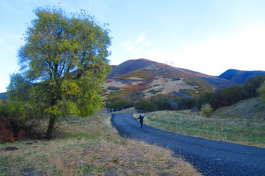
Sonny walks up the access road leading
to Sterling Hollow (gully at far right). Photo courtesy of Zosia Zgolak |
|
|
There is a bit of a hurdle at the trailhead. |
|
|
Despite limited views, the walk through the forest is quite enchanting. |
|
|
Zosia pauses for a break during her ascent up Sterling Hollow. |
|
|
The trail disappears in this meadow (or possibly heads somewhere to the left). The summit is out of view to the right. |
|
|
A herd of elk traverses the slope just below the summit. |
|
|
Zosia climbs up the steep slope below the summit. |
|
|
Sonny enjoys the view of Utah Lake
from the summit. Photo courtesy of Zosia Zgolak |
|
|
Zosia and Sonny stand in front of the metal structure on the summit of Spanish Fork Peak (3103 metres). |
|
|
To the southwest beyond Wind Rock Ridge are Loafer Mountain and Santaquin Peak (centre). |
|
|
Numerous peaks of the Wasatch Range are visible to the northwest including Mount Timpanogos (left of centre on horizon). |
|
|
There is a whole lot of nothing but rolling hills to the northeast. |
|
|
Sonny descends the trail through a
stand of aspen trees. Photo courtesy of Zosia Zgolak |
|
|
Total
Distance: 13.7 kilometres Round-Trip Time: 6 hours 40 minutes Net Elevation Gain: 1620 metres |