Photo courtesy of Zosia Zgolak
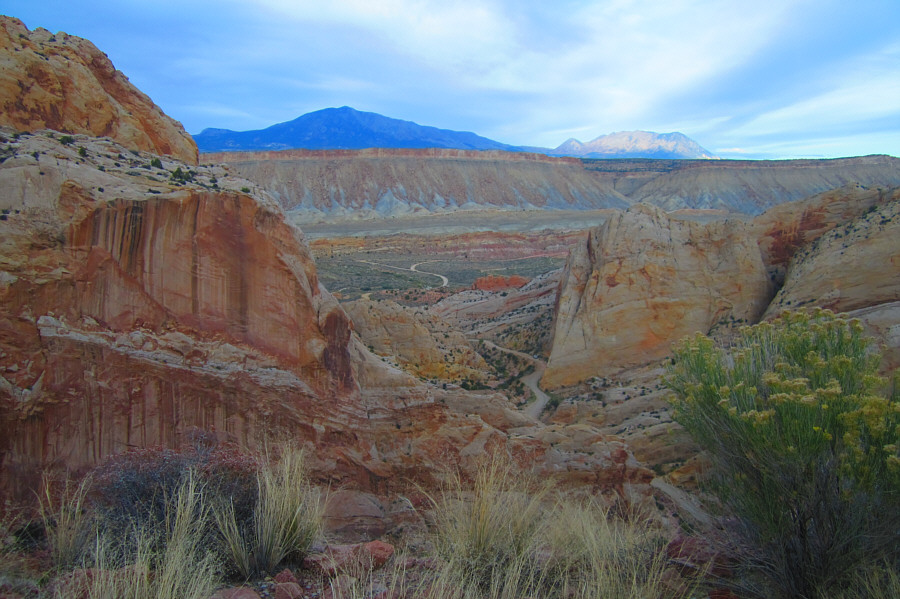
Photo courtesy of Zosia Zgolak

Photo courtesy of Zosia Zgolak
|
|
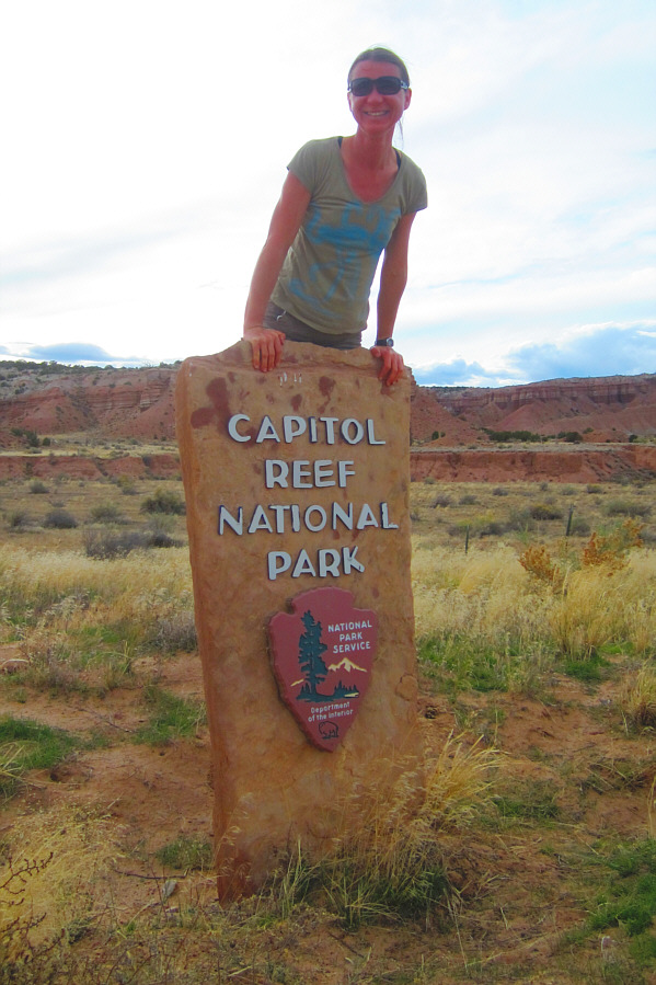
Zosia appears joyous at entering
Capitol Reef National Park. Photo courtesy of Zosia Zgolak |
|
|
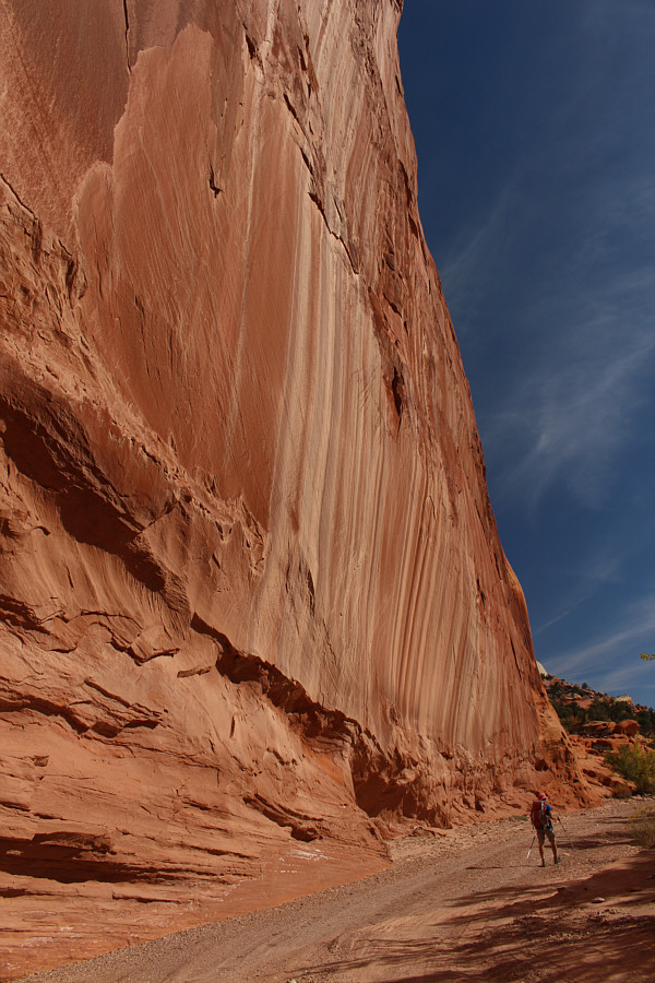
The Burr Trail road takes a daring
line up through the cliffs of Burr Canyon. Photo courtesy of Zosia Zgolak |
|
|
A few cars are parked at the first
trailhead for Upper Muley Twist Canyon. Photo courtesy of Zosia Zgolak |
|
|
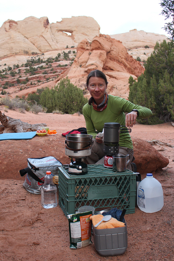
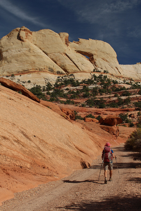
Zosia boils some water for dinner near the trailhead. Behind her is Peek-a-Boo Arch. |
|
|
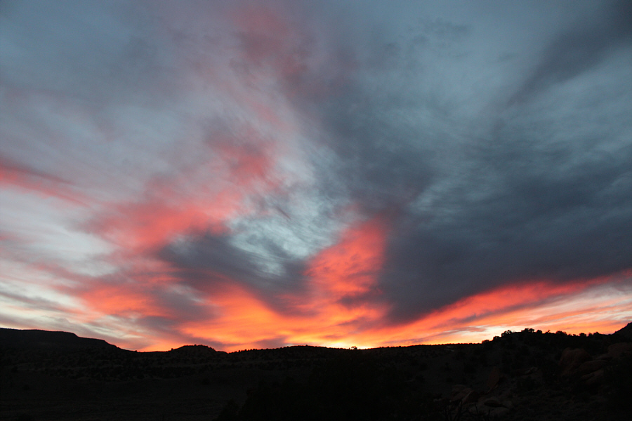
The sky is very colourful after sunset on this evening. |
Upon returning to our car, we drove westward and eventually ended up spending the night at another trailhead in Grand Staircase-Escalante National Monument.
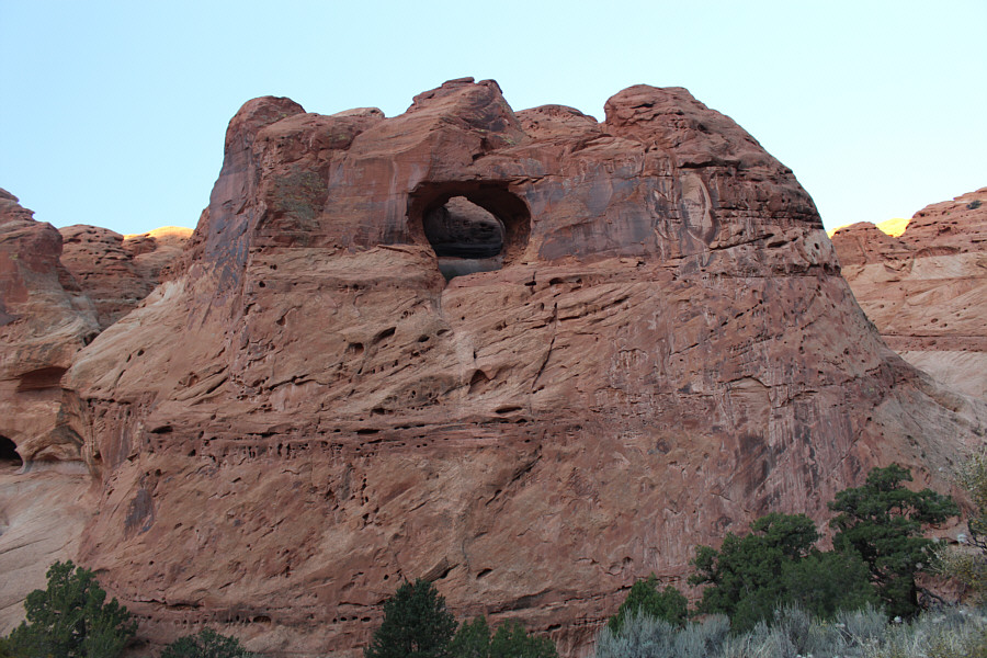 |
This hole in the rock is easy to miss along the road between the two trailheads. |
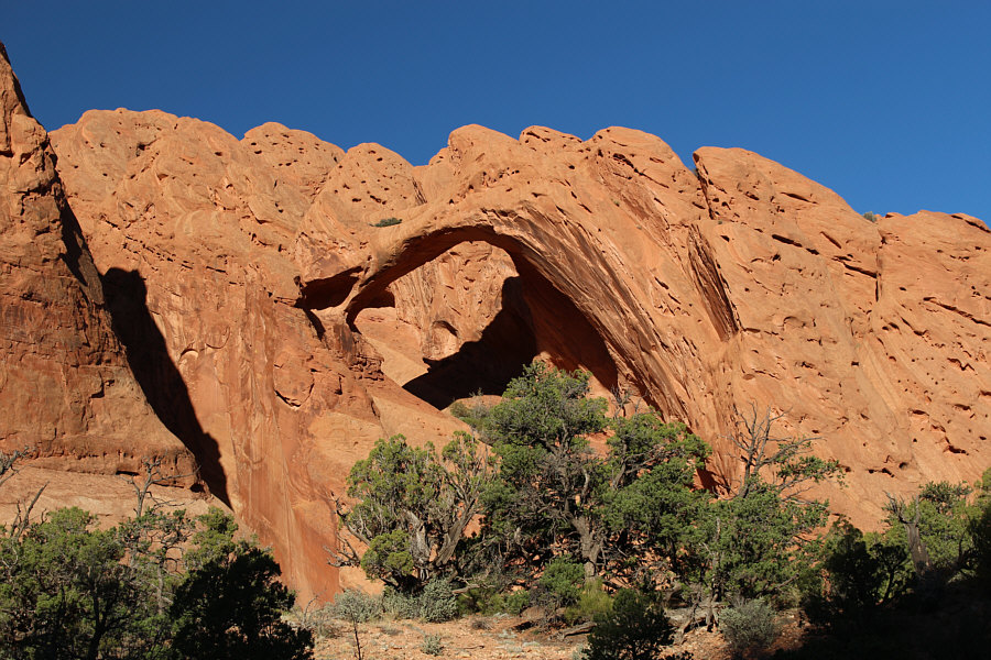 |
Saddle Arch is located near the loop junction. |
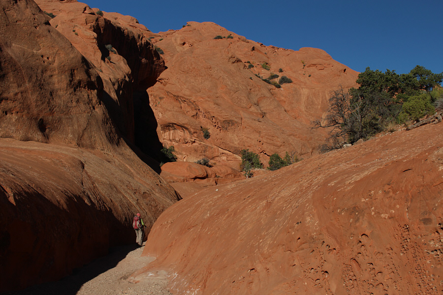 |
Zosia continues hiking into Upper Muley Twist Canyon. |
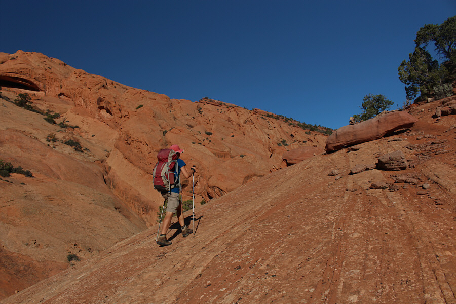 |
Zosia hikes up the route which bypasses the "narrows", a purportedly difficult section of the canyon to navigate. |
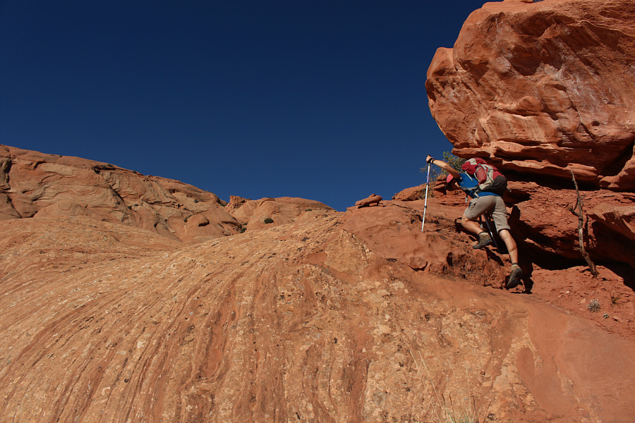 |
Parts of the bypass route require some easy scrambling. |
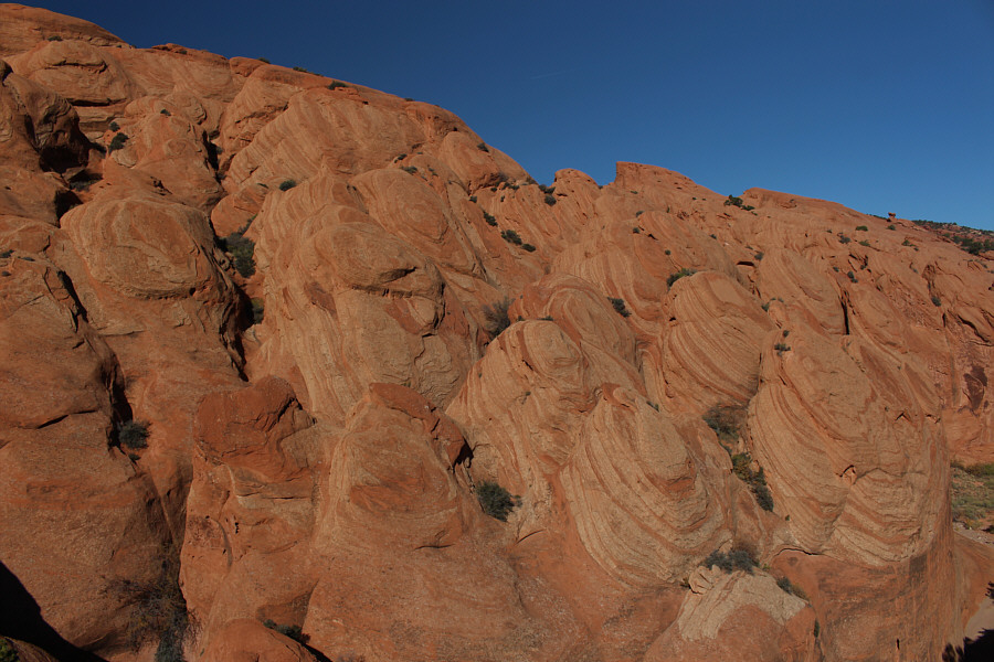 |
These unusual rock formations are located near the north end of Upper Muley Twist Canyon. |
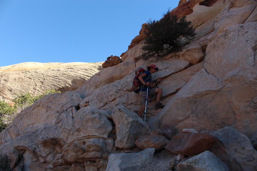 |
Zosia scrambles up an easy rock step on her way to the top of the east rim. |
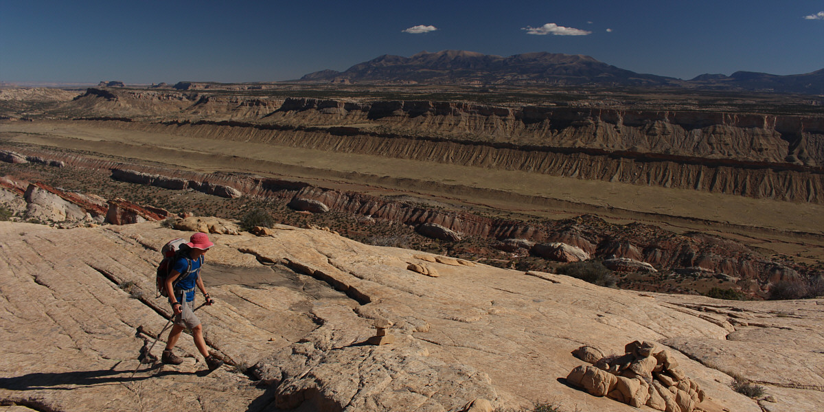
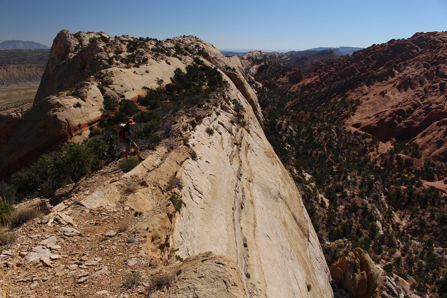
The Waterpocket Fold is revealed as Zosia strolls along the top of the east rim. In the distance is Mount Ellen.
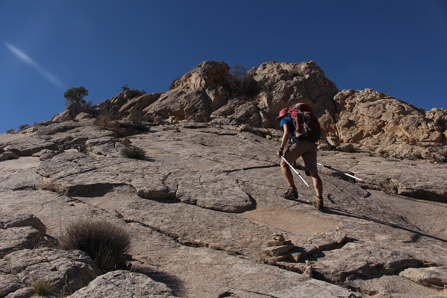 |
Under dry conditions, these rock slabs are no problem for Zosia to walk up. |
 |
Zosia peers over the edge into Upper Muley Twist Canyon. |
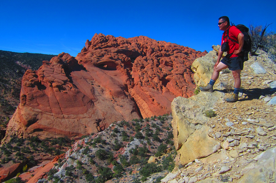 |
Sonny admires the view of the canyon
from the east rim. Photo courtesy of Zosia Zgolak |
 |
On her way back to the trailhead, Zosia hikes below some impressive cliffs. |
 |
Seeing Peek-a-Boo Arch again means that the trailhead is near. |
 |
Total
Distance: 24.1 kilometres Round-Trip Time: 7 hours 56 minutes |