Photo courtesy of Zosia Zgolak
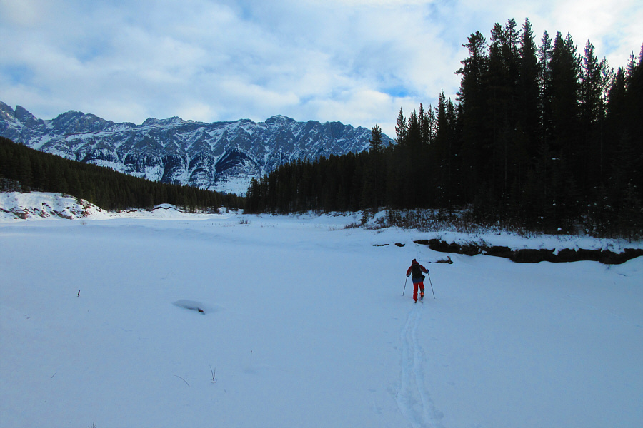
Photo courtesy of Zosia Zgolak
|
|
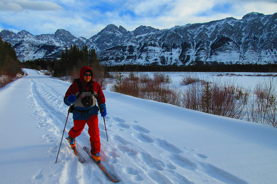
Sonny skis along the north end of
Lower Kananaskis Lake. Photo courtesy of Zosia Zgolak |
|
|
Sonny cautiously crosses Smith-Dorrien
Creek. The road continues beyond the trees at far right. Photo courtesy of Zosia Zgolak |
|
|
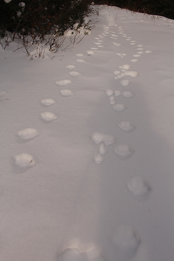
Tracks in the road show one or more felines possibly tracking a rabbit. |
|
|
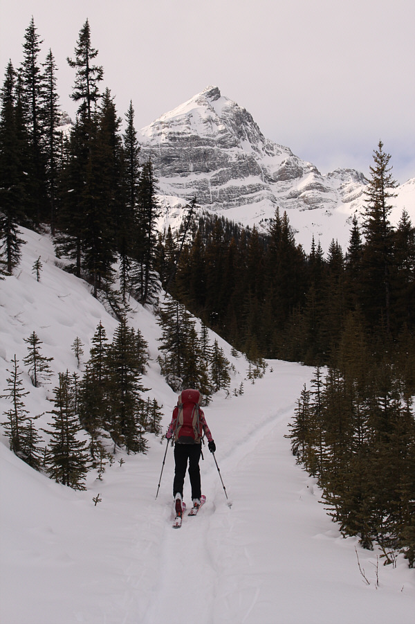
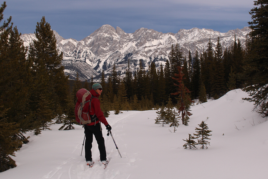
Zosia continues up the road along the section usually shared with snowshoers. Mount Warspite looms in the background. |
|
|
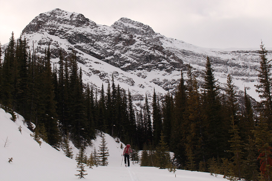
The mine site is behind the trees at left and sits below the northeast ridge of Mount Invincible. |
|
|
Zosia arrives at the gypsum mine site. The peak behind her is the northeastern outlier of Mount Indefatigable. |
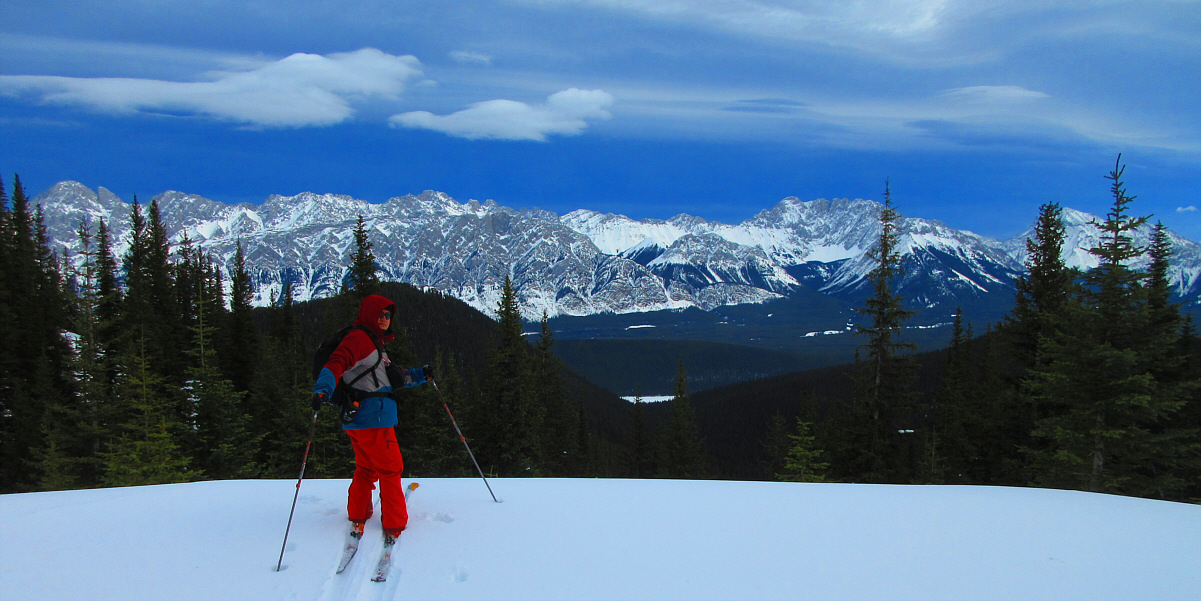
The Opal Range stretches across the eastern horizon in this view from the mine site.
Photo courtesy of Zosia Zgolak
 |
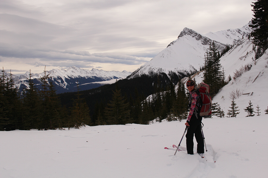
Zosia pauses to enjoy the view of Mount Blane (left of centre) before skiing down the road. |
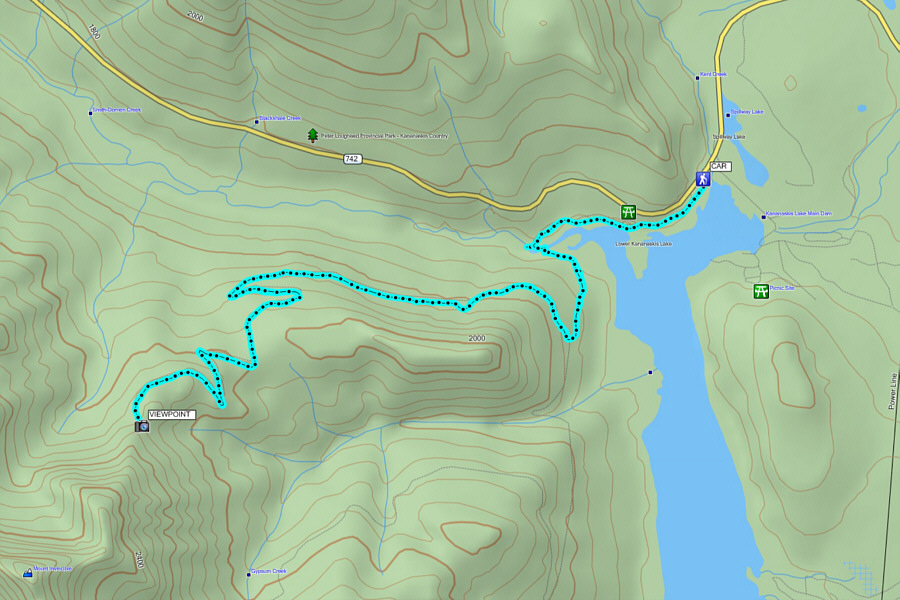 |
Total
Distance: 15.6 kilometres Round-Trip Time: 5 hours 9 minutes Net Elevation Gain: 456 metres |