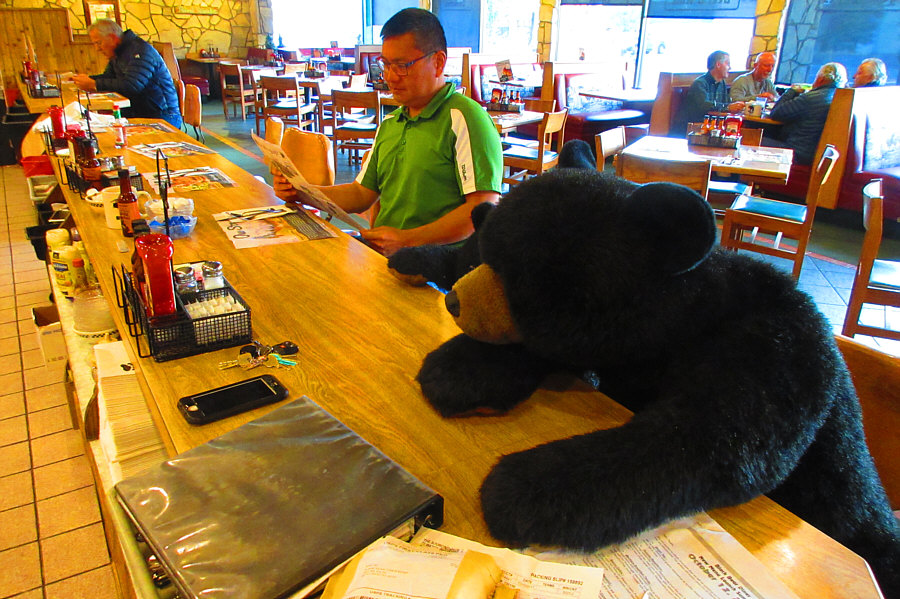
Photo courtesy of Zosia Zgolak
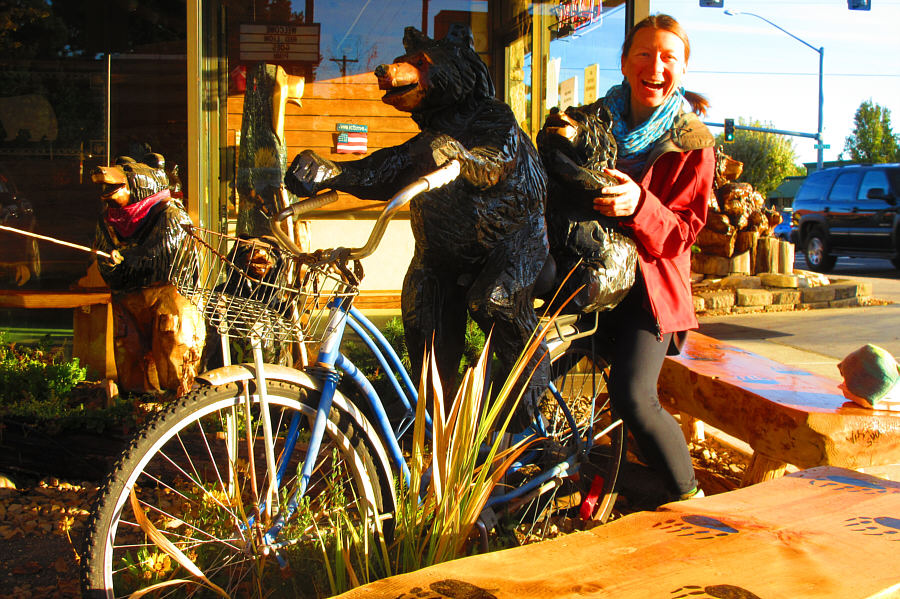
Zosia goes for a bike ride with some friends outside the Black Bear Diner.
Photo courtesy of Zosia Zgolak
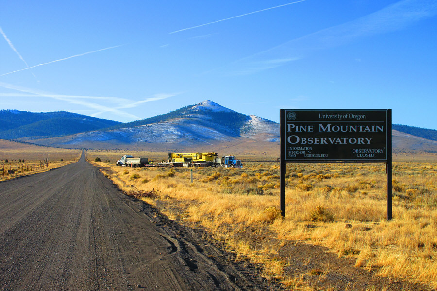
Photo courtesy of Zosia Zgolak
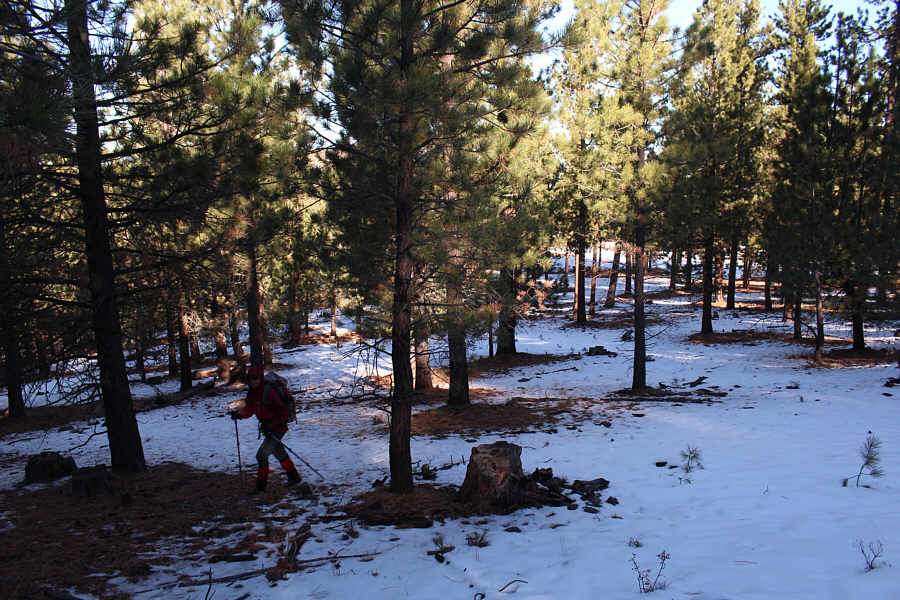
Zosia enjoys easy hiking through the light forest on Pine Mountain.

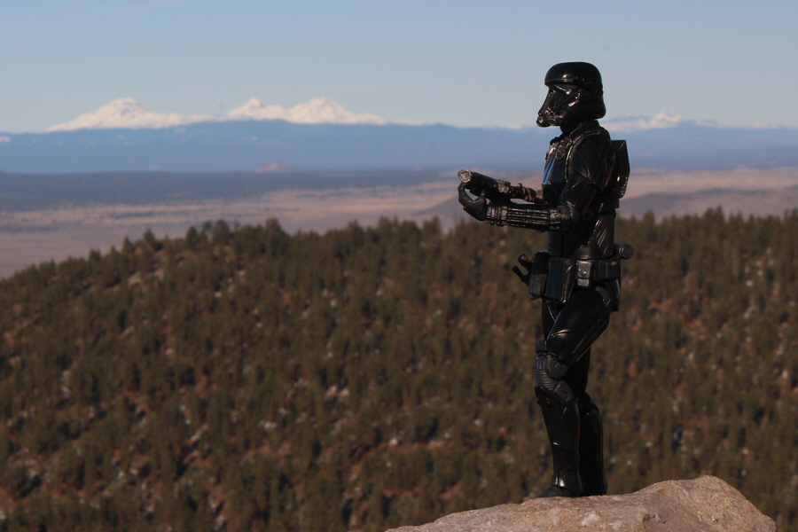
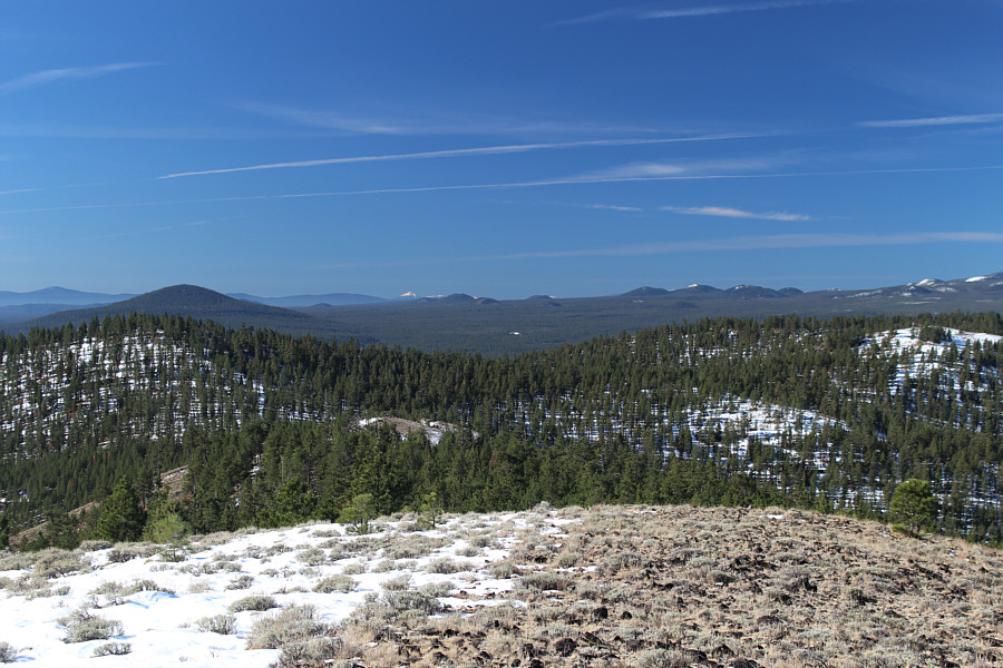
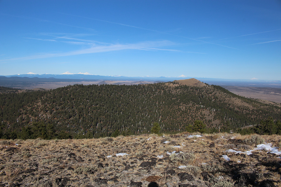
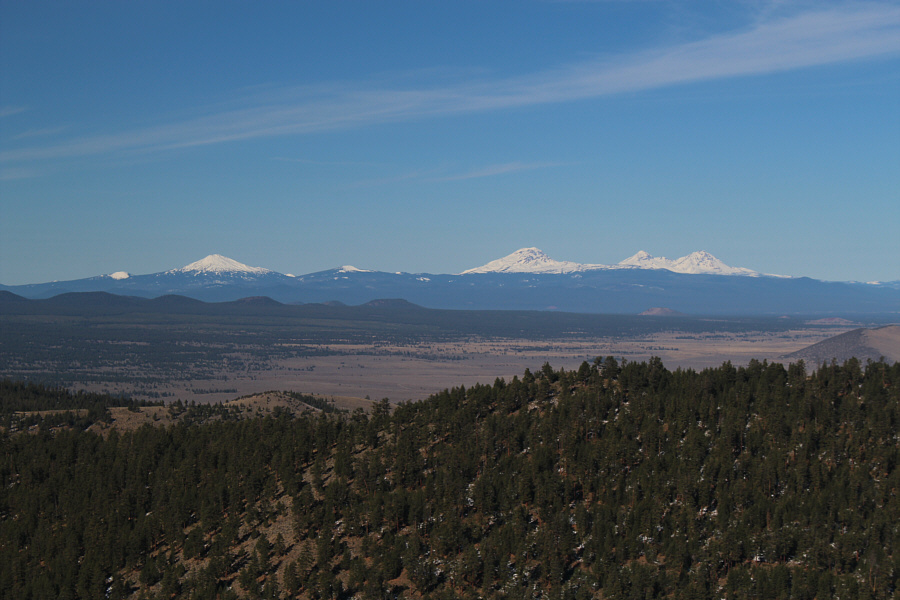


Photo courtesy of Zosia Zgolak

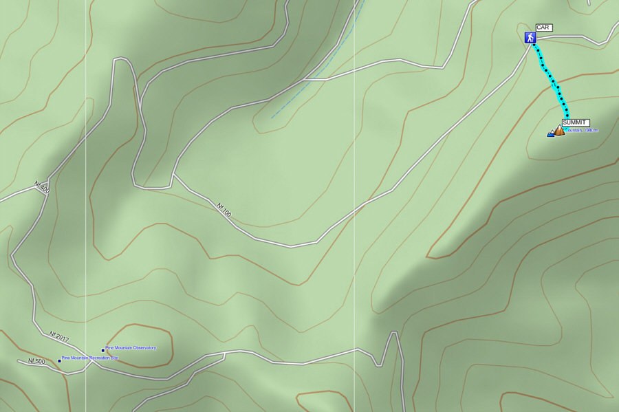
Round-Trip Time: 51 minutes
Net Elevation Gain: 126 metres