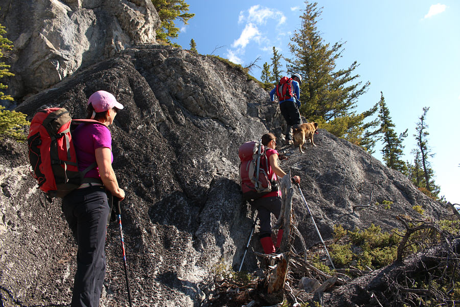
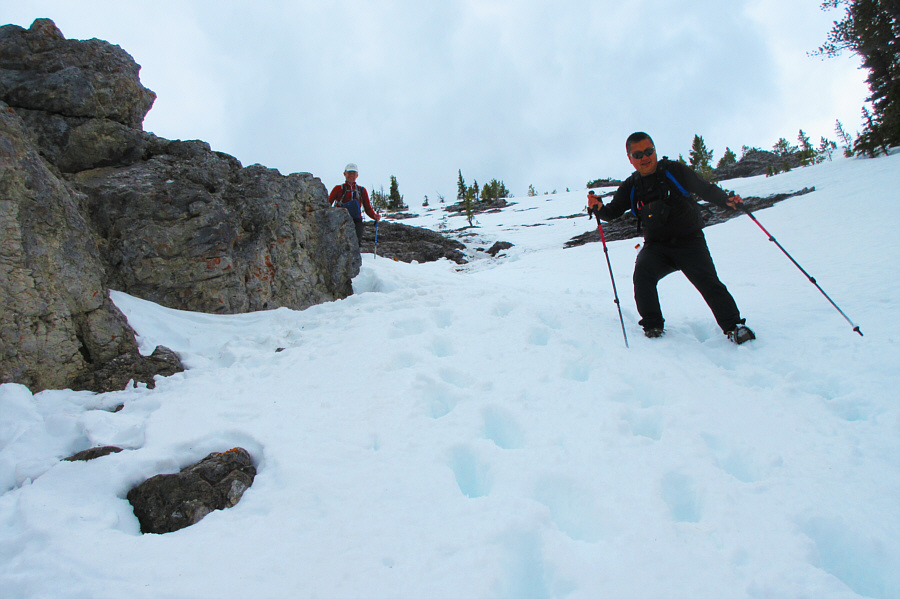
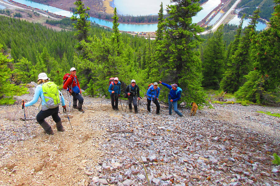
The group reaches the first section that requires some hands-on scrambling.

|
|
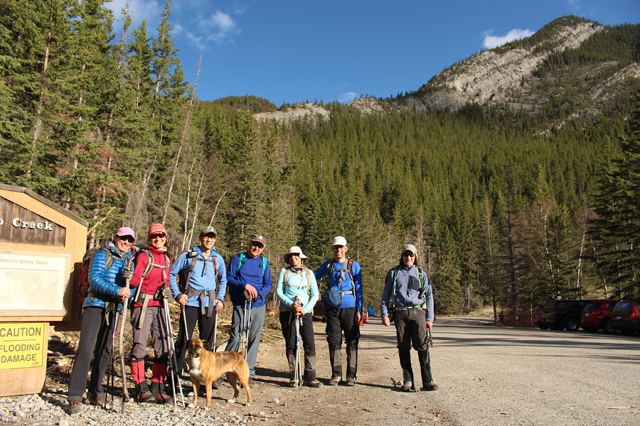
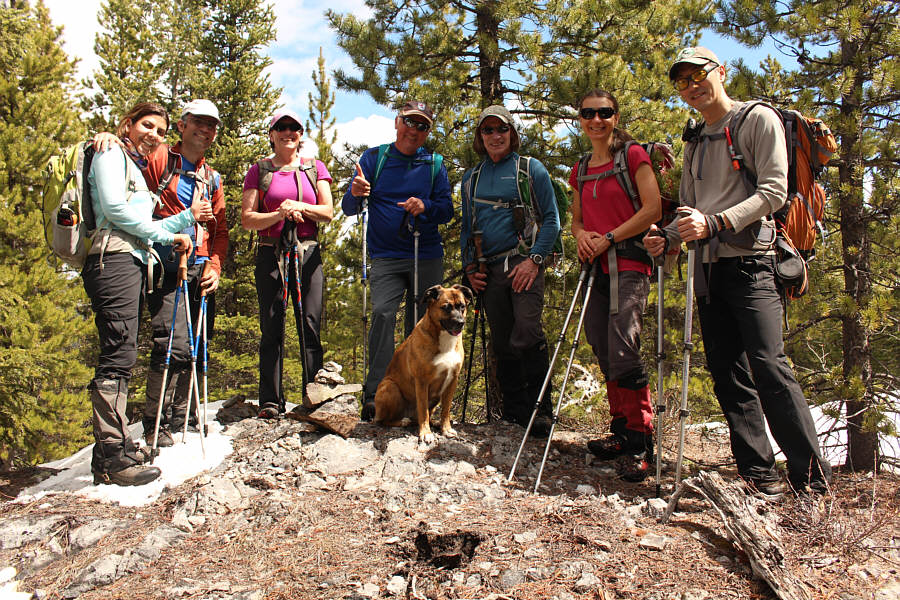
Gathered at the trailhead are Wendy, Zosia, So, Wil, Asieh, Ali, Bob, and Wendy's dog, Ruthie. Anklebiter Ridge is visible in the background. |
|
|
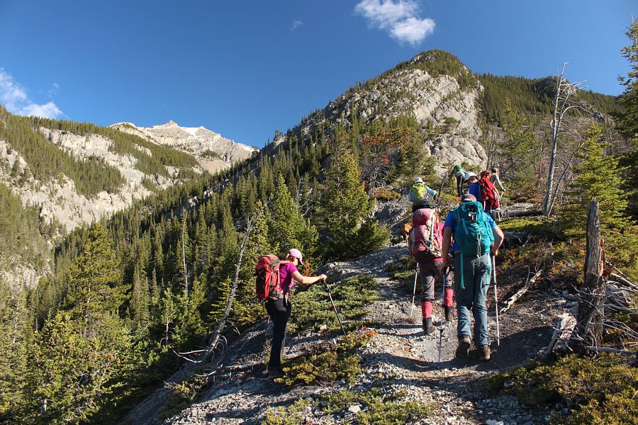
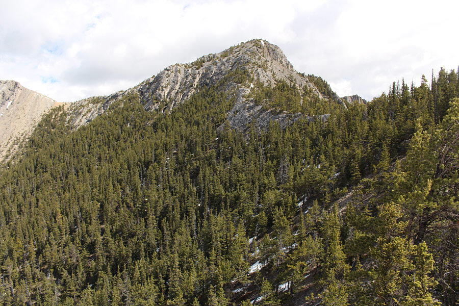
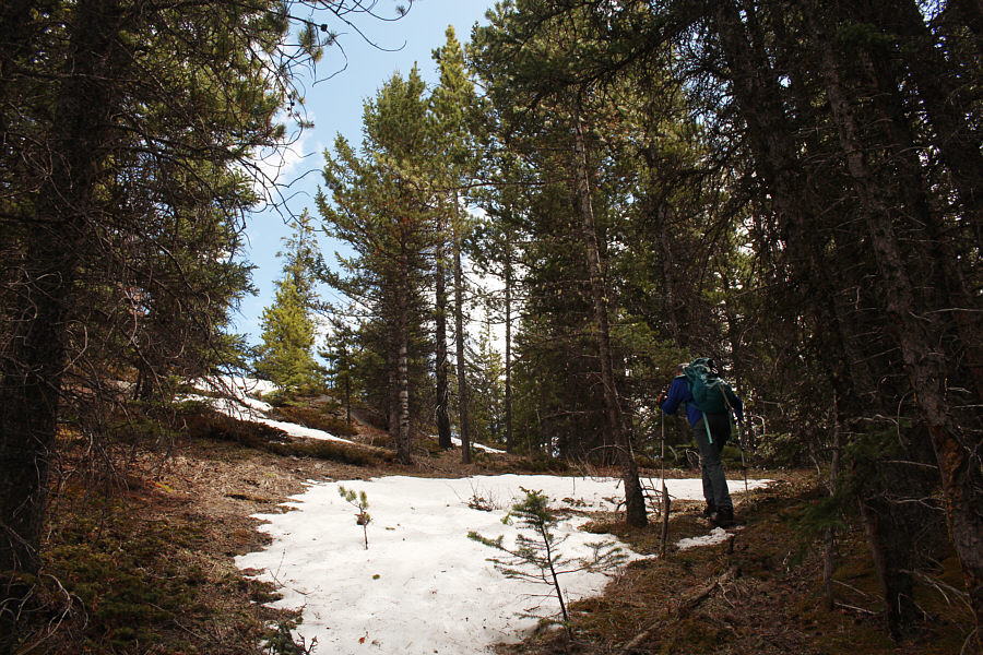
It does not take long before the group starts climbing up Anklebiter Ridge. |
|
|
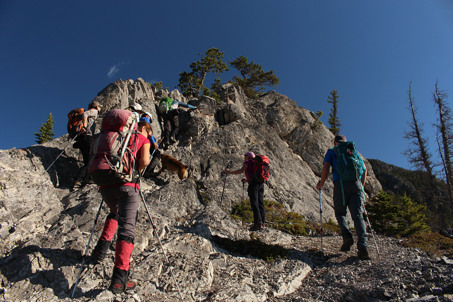
The group reaches the first section that requires some hands-on scrambling. |
|
|
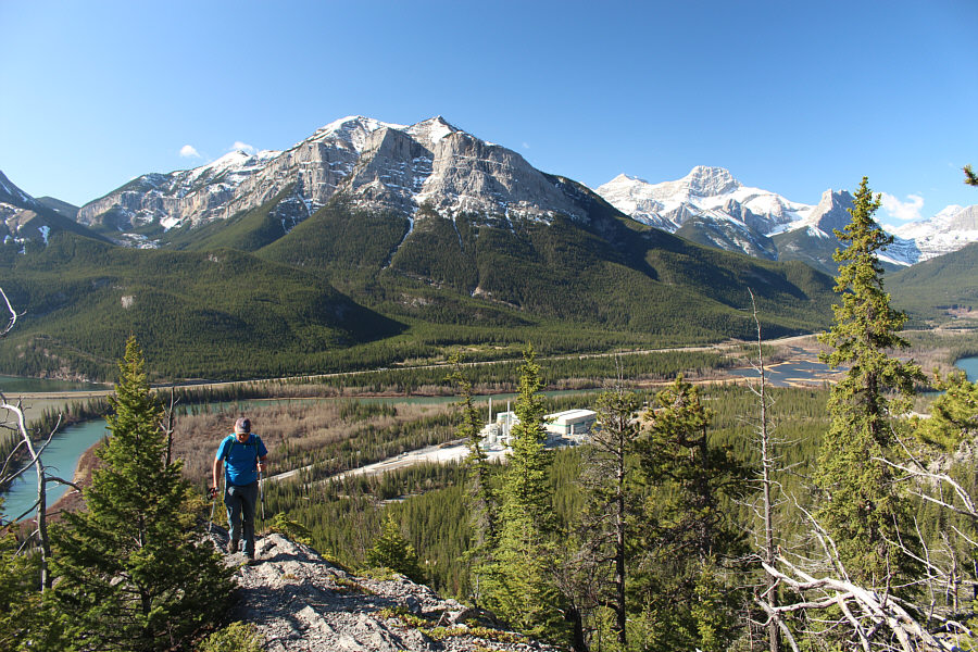
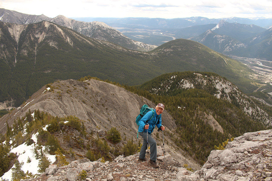
As Wil climbs up Anklebiter Ridge, views open up to the south with Pigeon Mountain at centre. |
|
|
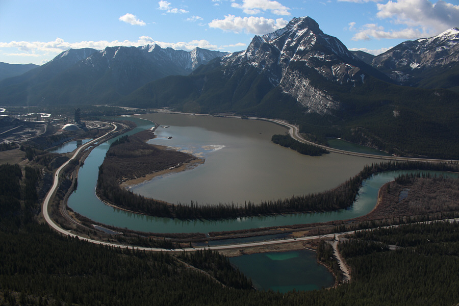
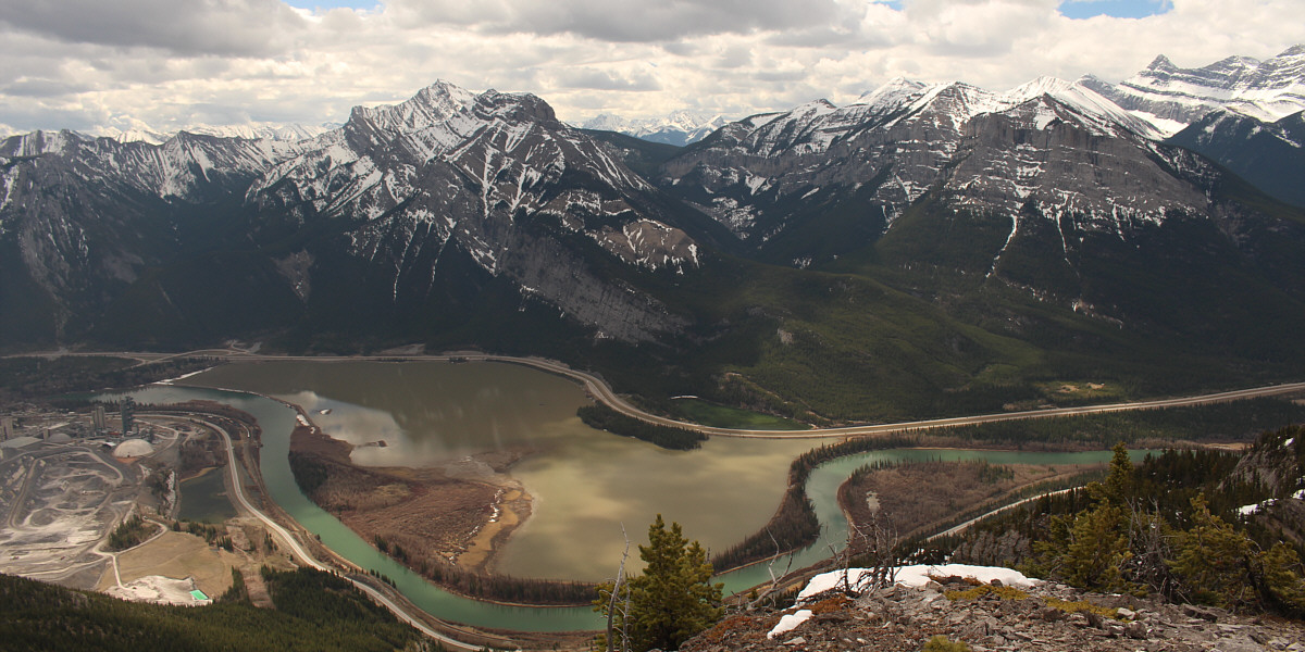
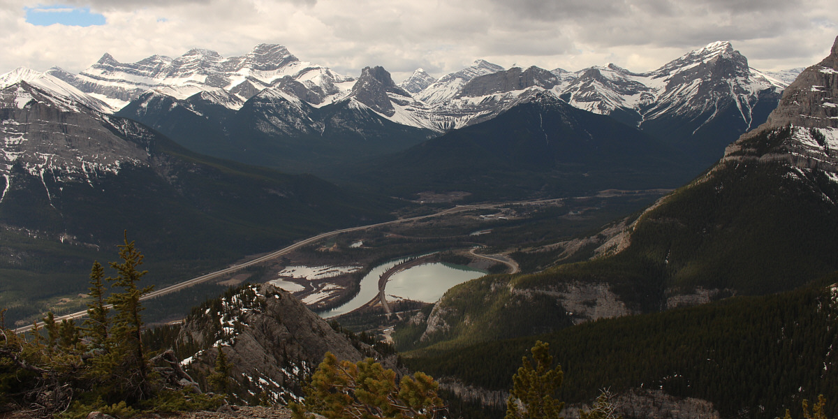
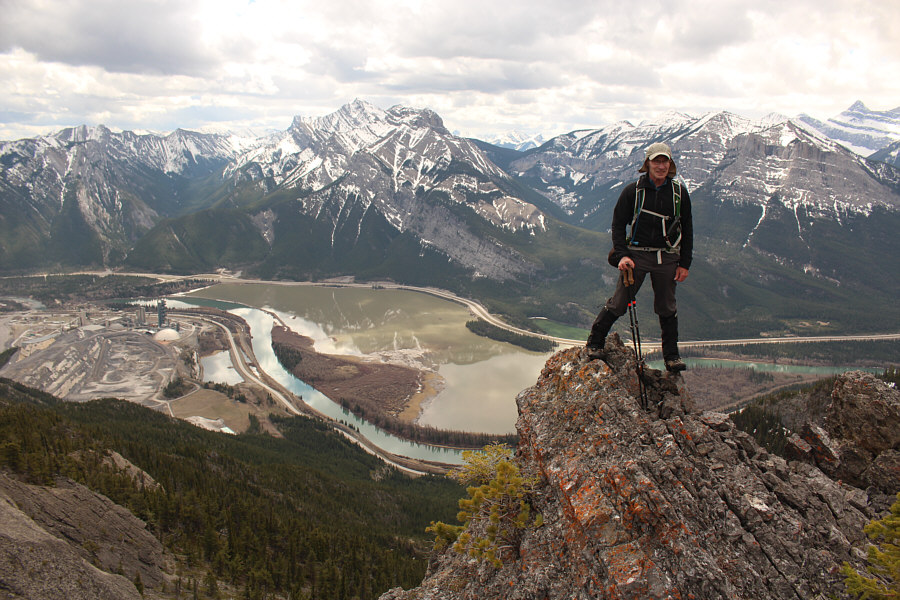
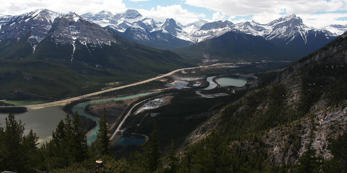
To the southeast are Grotto Mountain Pond (bottom), Bow River, Lac Des Arcs, and Mount McGillivray (right). |
|
|
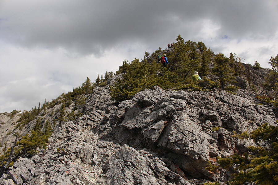
Wendy waits while Zosia, Ali and Ruthie climb up another section requiring hands-on scrambling. |
|
|
As Wil climbs higher, more peaks are visible to the west including Mount Lougheed I, Windtower, Mount Nestor, Old Goat Mountain, Rimwall, The Orphan, and The Three Sisters. Gap Lake is also visible at centre. |
|
|
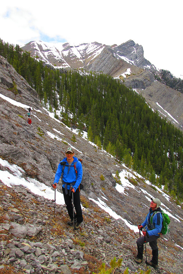
The trees show a weakness in the cliff band ahead. |
|
|
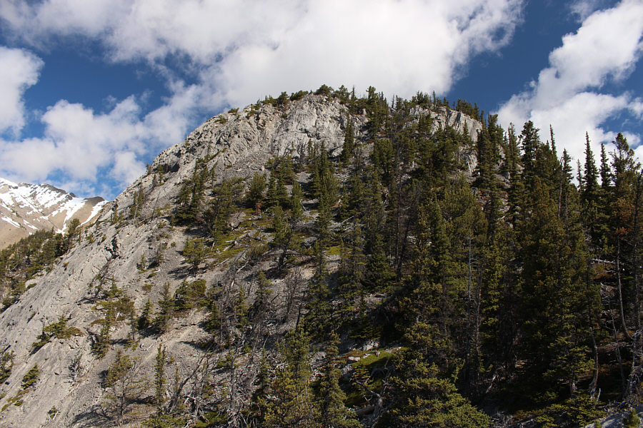
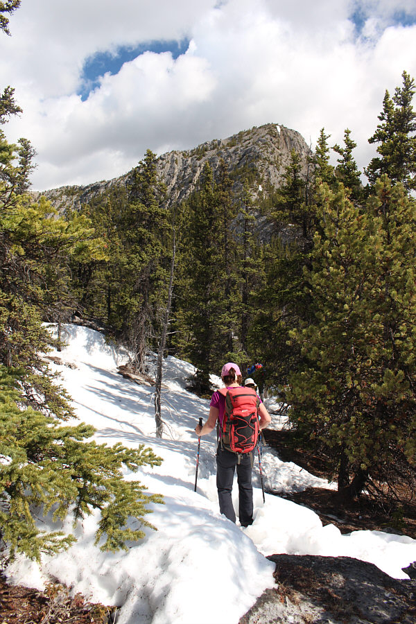
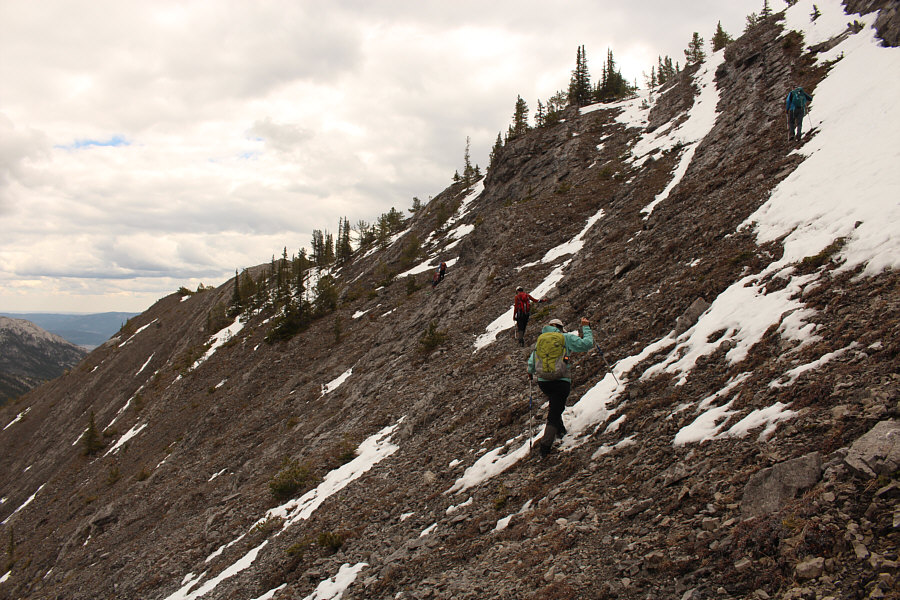
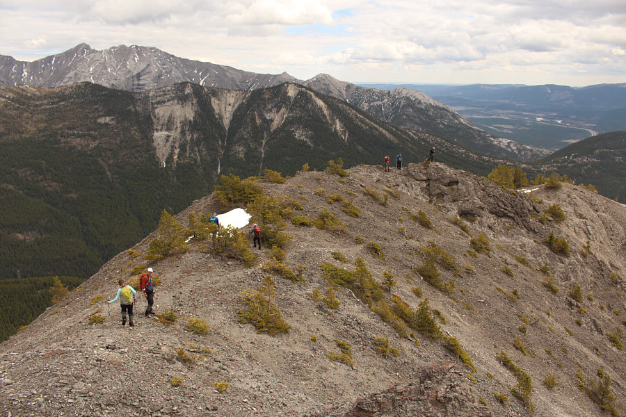
Higher up the ridge, the group tramps through some lingering snow patches. The high point of Anklebiter Ridge is visible ahead. |
|
|
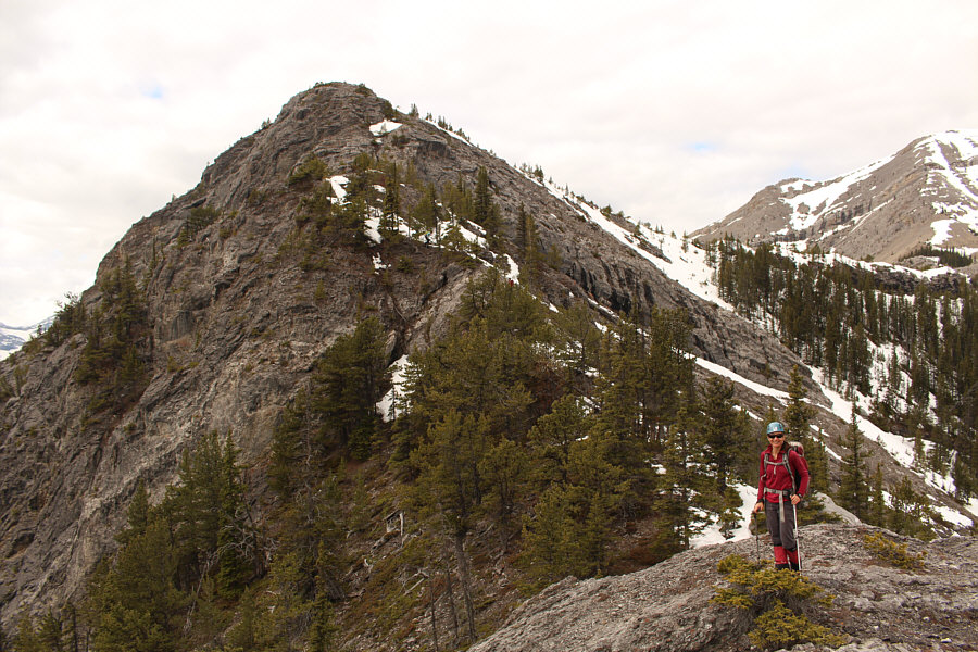
Here is a clearer view of the high point of Anklebiter Ridge. |
|
|
The group scrambles up the last few metres before the high point. |
|
|
The group successfully reaches the high point of Anklebiter Ridge (2138 metres). In the front row are Wil, Ruthie, Ali and Asieh. In the back row are Sonny, So, Wendy, Zosia and Bob. |
Across Lac Des Arcs is Mount McGillivray (left of centre). At right is Pigeon Mountain.
All four peaks of Mount Lougheed are now visible at left.
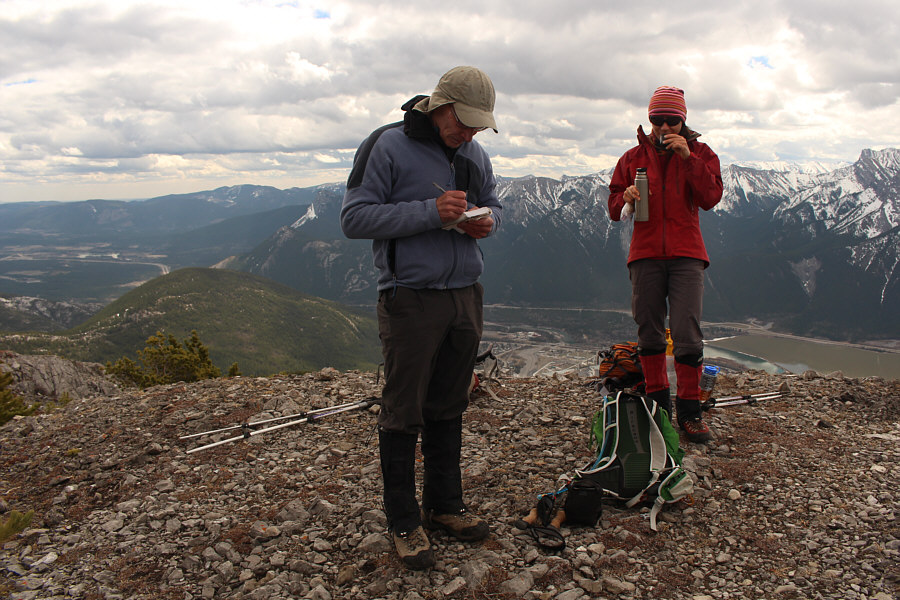 |
Zosia sips some tea while watching Bob sign the register on top of Anklebiter Ridge. |
Bluemat Hill has two distinct summits of roughly equal height--one in thick forest and one where the trees have been deliberately chopped down to provide panoramic views. Leaving nothing to chance, we tagged both summits and took another extended break at the one with views.
 |
Wil seems amused upon reaching the top of a hidden cliff band along the connecting ridge to Bluemat Hill (right). Behind Bluemat Hill is the forested hump of Exshaw Mountain. |
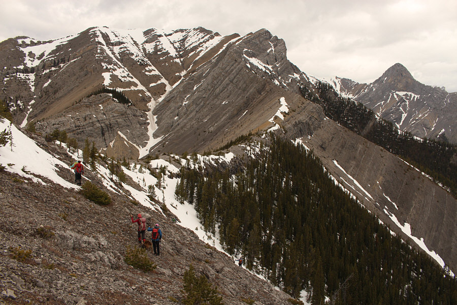 |
The group traverses north to circumvent the cliff band blocking their descent to Bluemat Hill. Here is also a nice view of the connecting ridge to Gap Peak (left of centre). At distant right is Mount Fable. |
 |
Ali and Sonny plunge-step down a steep
snow slope near where the cliff band peters out. Photo courtesy of Zosia Zgolak |
 |
Ali and Asieh follow the rest of the group across the slope while Wil (upper right) climbs directly back up to the ridge crest. |
 |
So and Bob wait for the others to
catch up to them on the traverse. Photo courtesy of Zosia Zgolak |
 |
Here is a more comprehensive view of the cliff band blocking the east side of Anklebiter Ridge. The cliff band can be circumvented at far right. |
 |
Bob perches on a rocky knob overlooking Lac Des Arcs and the Lafarge Exshaw Cement Plant (far left). |
 |
Back on easier terrain, the group resumes their descent to Bluemat Hill. |
 |
Zosia follows Asieh down the connecting ridge to Bluemat Hill which is visible ahead. The route skirts to the left of the white cliffs. |
 |
Wil trudges up the northwest slope of Bluemat Hill. |
 |
The group gathers on the forested summit of Bluemat Hill (1916 metres). |
 |
The group poses again on the more scenic summit of Bluemat Hill (1915 metres). Anklebiter Ridge is visible at upper left. |
The view to the west from Bluemat Hill is about the same as that from the top of Anklebiter Ridge.
When we resumed hiking, we discovered some great scree surfing on the upper part of Bluemat Hill--a good reason not to try this loop hike in the opposite direction. The scree eventually petered out, and shortly after, our group inadvertently split up with me, Wendy and Ruthie following Wil down a beaten path while the others headed somewhere to skier's right of us. Our beaten path also eventually petered out, but fortunately, the terrain, though steep, was not too bushy and fairly easy to descend. Wil, Wendy, Ruthie and I eventually crossed a power line right-of-way before thrashing the remaining short distance to Highway 1A. Not long after we emerged from the trees, the rest of the group appeared right behind us, and together, we walked back along the highway to Grotto Mountain Pond to complete the loop.
Wendy invited all of us back to her place in Bragg Creek afterwards for celebratory drinks and dinner which put an exclamation point on an already fantastic day with some awesome friends. Thank you, Wendy!
Be sure to check out Bob's trip report.
 |
Zosia pauses briefly while descending the south ridge of Bluemat Hill. |
 |
Sonny finds some great scree to surf
on the way down. Photo courtesy of Zosia Zgolak |
 |
Asieh joins Ali, Wendy, Bob, So, Wil
and Ruthie near the end of the scree run. Photo courtesy of Zosia Zgolak |
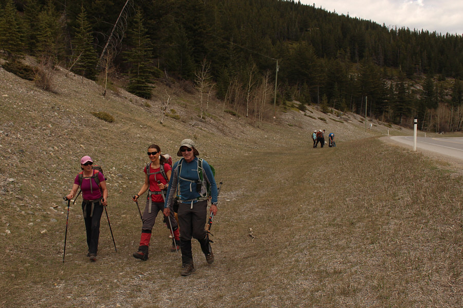 |
After popping out of the trees about half a kilometre east of Grotto Mountain Pond, the group hikes back to the trailhead beside Highway 1A. |
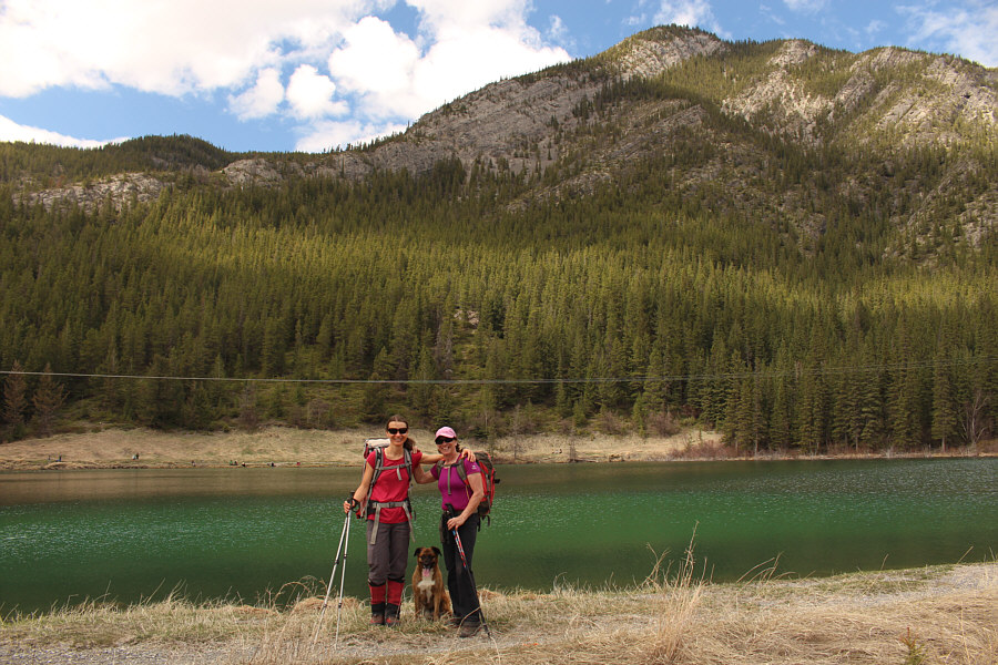 |
Zosia, Ruthie and Wendy stop beside Grotto Mountain Pond with Anklebiter Ridge in the background. |
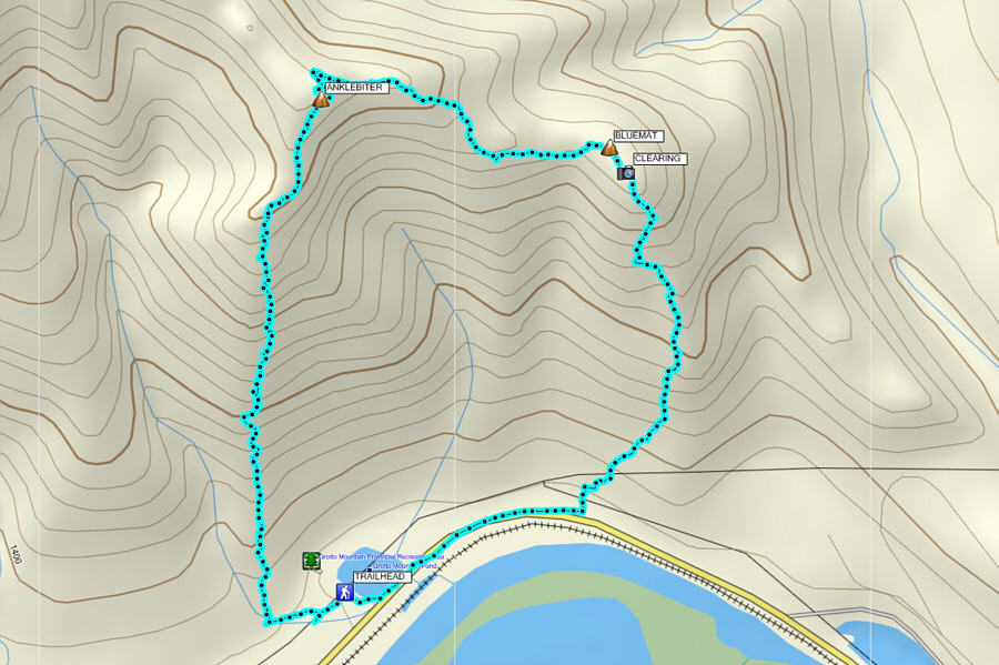 |
Total Distance: 7.2 kilometres Round-Trip Time: 6 hours 23 minutes Net Elevation Gain to Anklebiter Ridge: 823 metres |