|
|
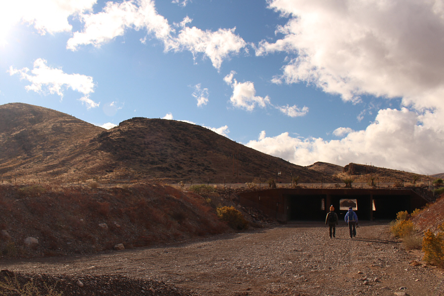
Shin and Dinah go through the underpass to get to the south side of the highway. The ridge at left does not connect to Cottonwood Peaks, and it is preferable to go around it to the right. |
|
|
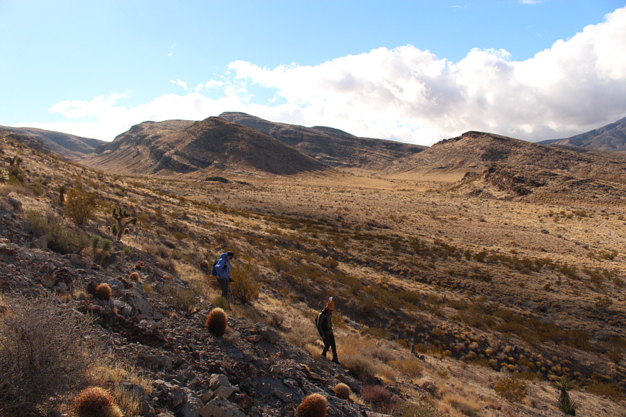
Dinah and Shin descend the first ridge they climbed after realizing that it does not connect to the main ridge at distant left leading to Cottonwood Peaks. |
|
|
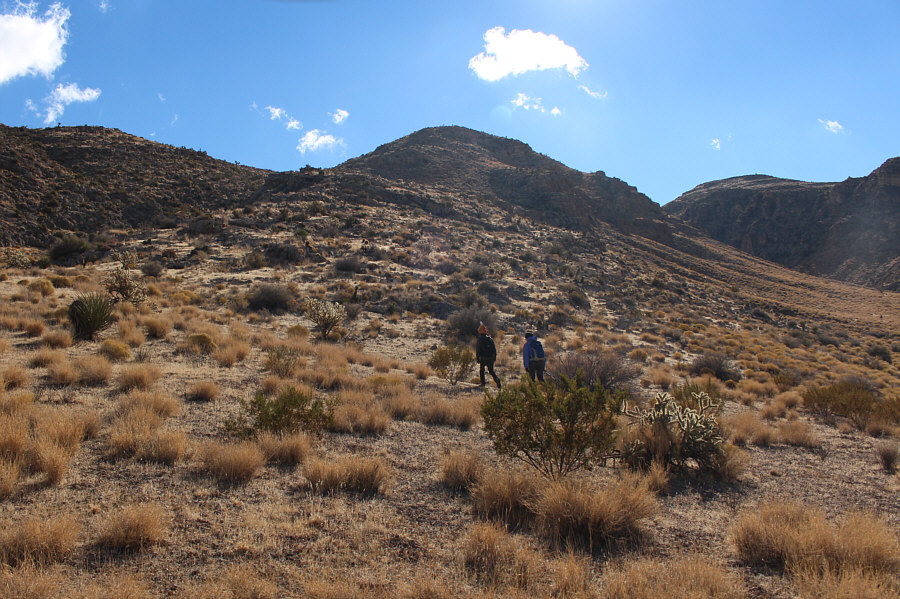
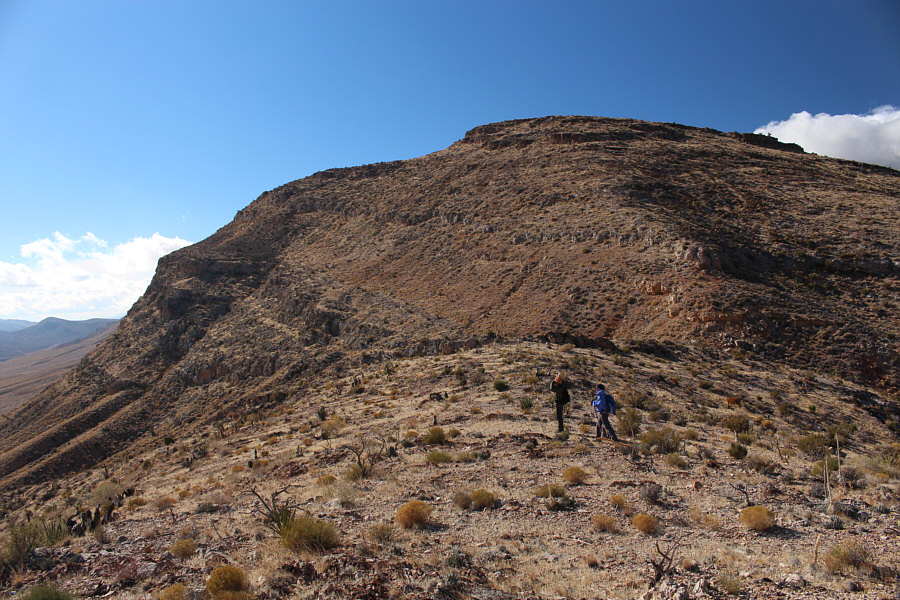
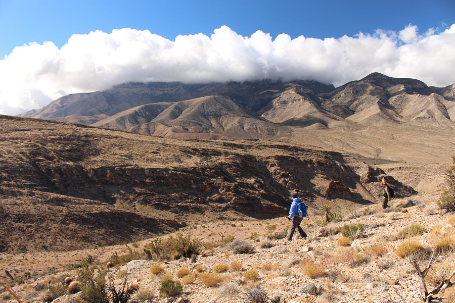
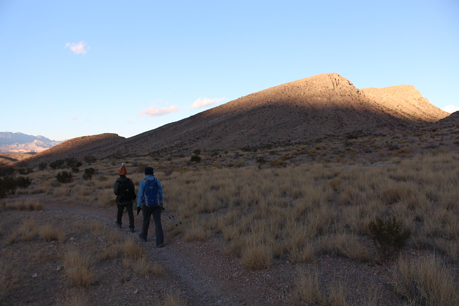
Shin and Dinah ascend the correct ridge. |
|
|
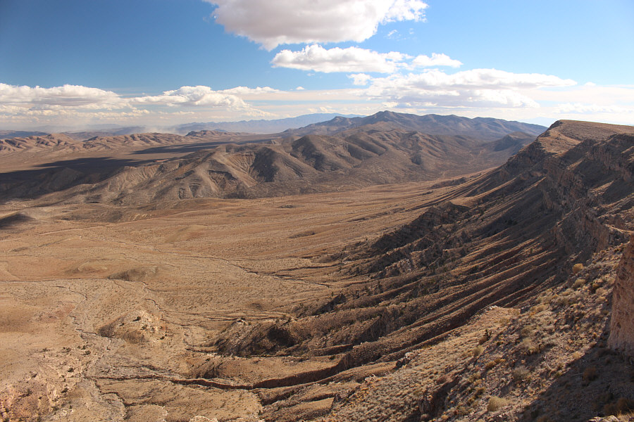
While Shin and Dinah ascend the ridge, clouds roll over the peaks of Red Rock Canyon National Conservation Area (NCA). |
 |
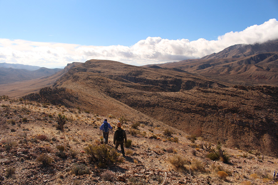
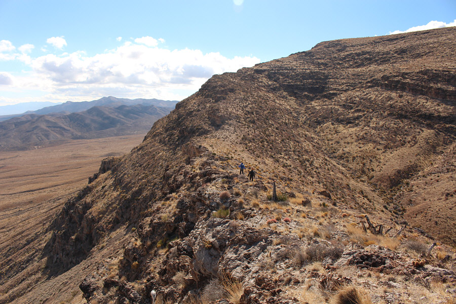
Shin and Dinah gain the crest of the main ridge. Behind them is the first of several high points along the ridge. |
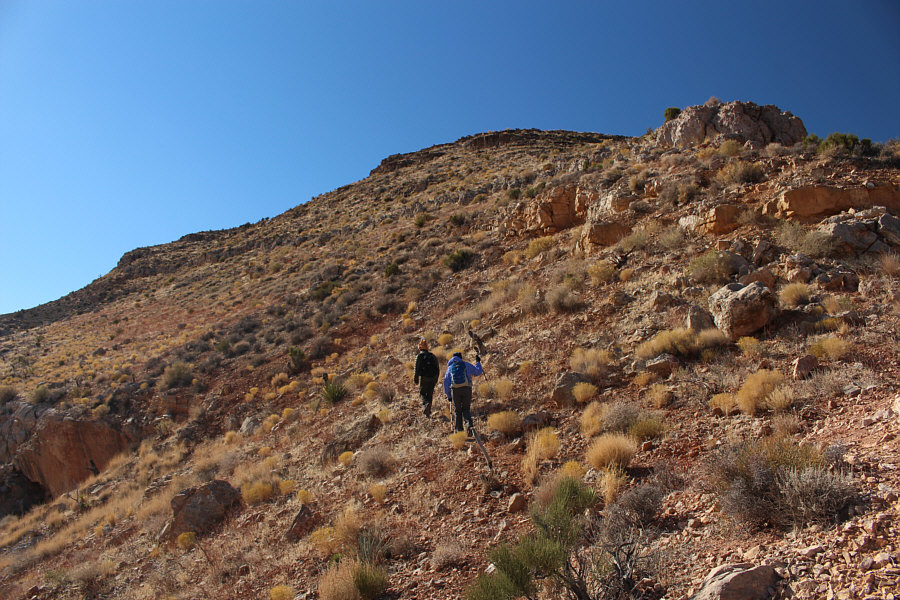 |
Shin and Dinah avoid some short cliff bands on the way up the first high point of the ridge. |
 |
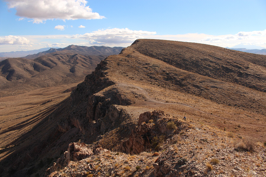
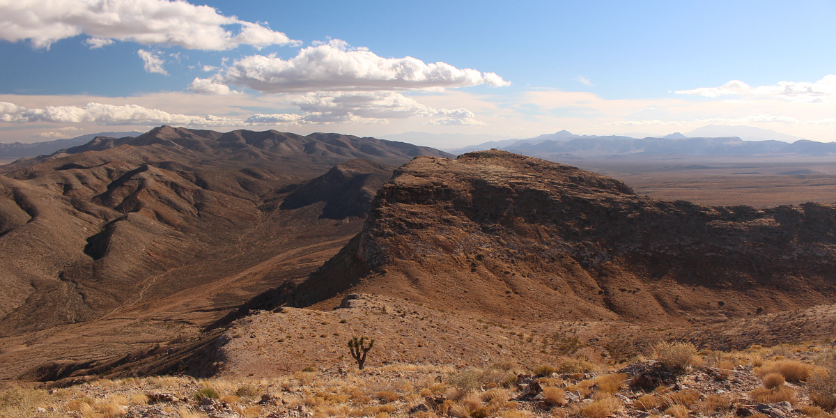
The actual high point of the ridge looks dishearteningly far away. |
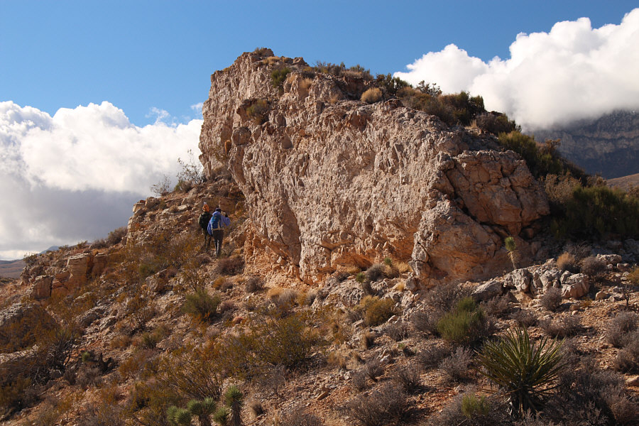 |
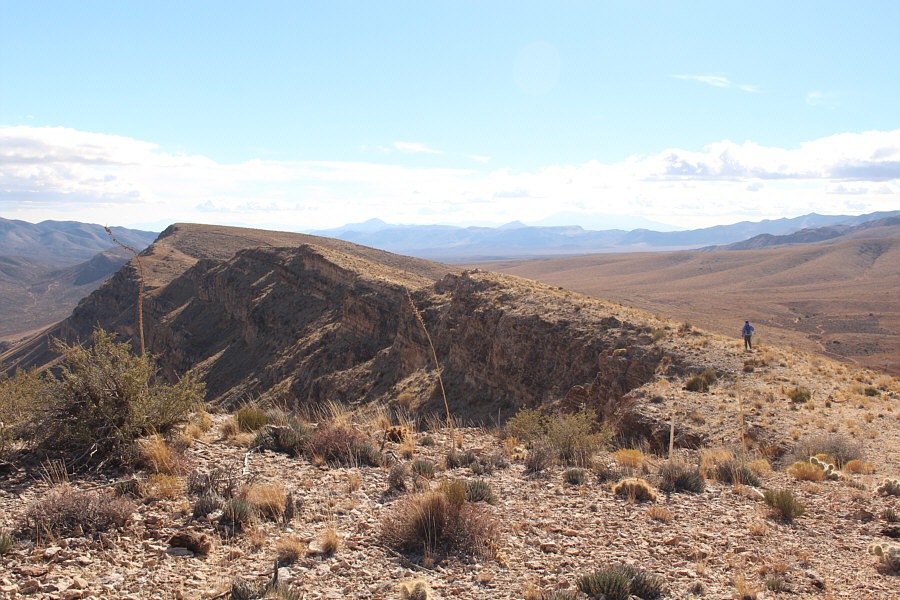
Shin and Dinah get some relief from a blustery west wind while hiking along the base of this rock fin. |
 |
On this day, Potosi Mountain to the west is mostly shrouded by clouds. |
 |
The ridge narrows a bit here before climbing up to the next high point. |
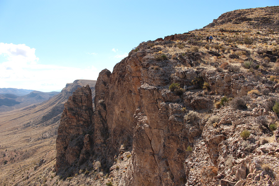 |
Shin and Dinah pass by some surprisingly steep cliffs on the east side of the ridge. |
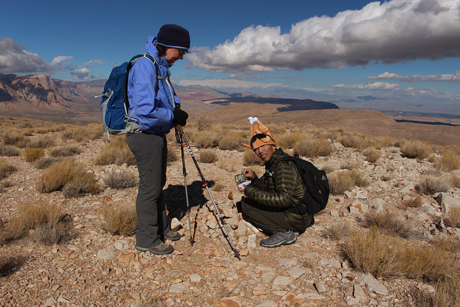 |
Dinah watches Shin dig out a geocache from under a cairn on the ridge. |
 |
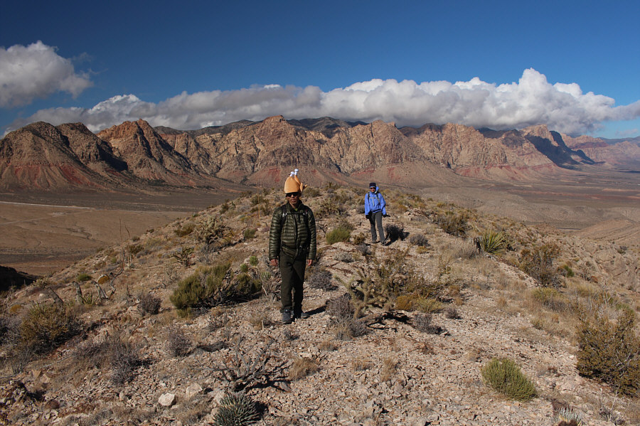
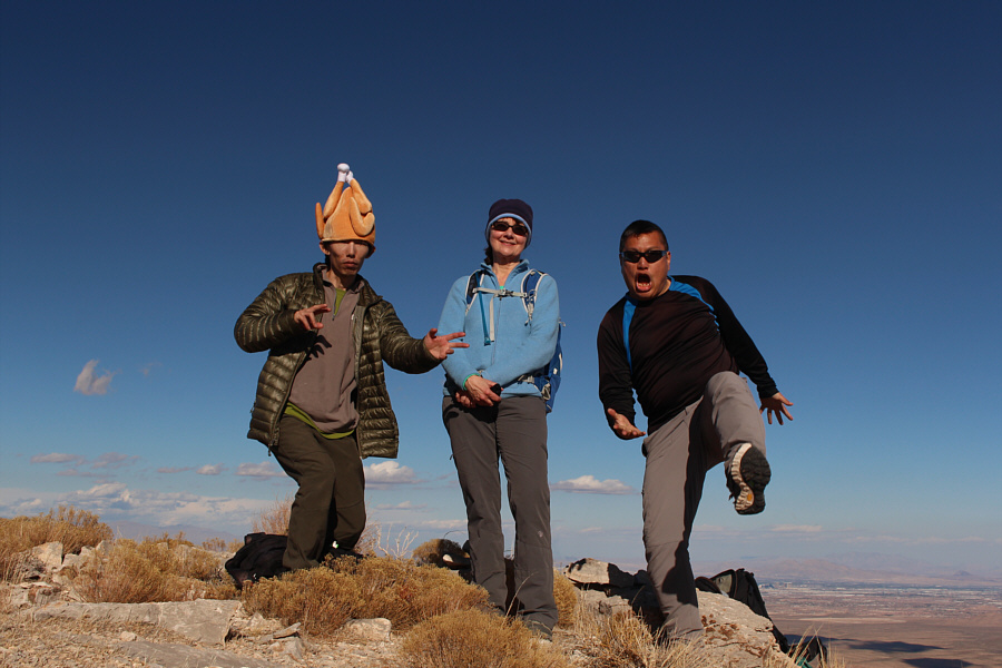
Dinah, Shin and Sonny gather next to a cairn on the high point known as North Cottonwood Peak (1605 metres). |
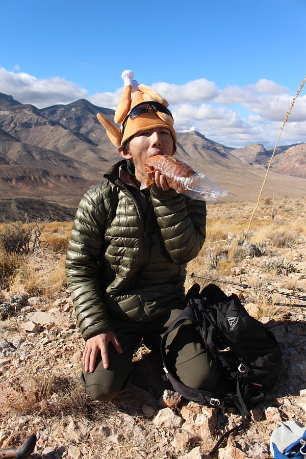 |
Shin eats a pound cake for lunch. |
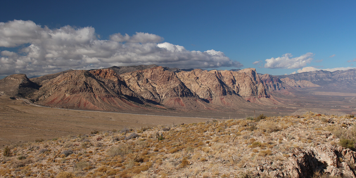
The peaks of Red Rock Canyon NCA dominate the view to the north.
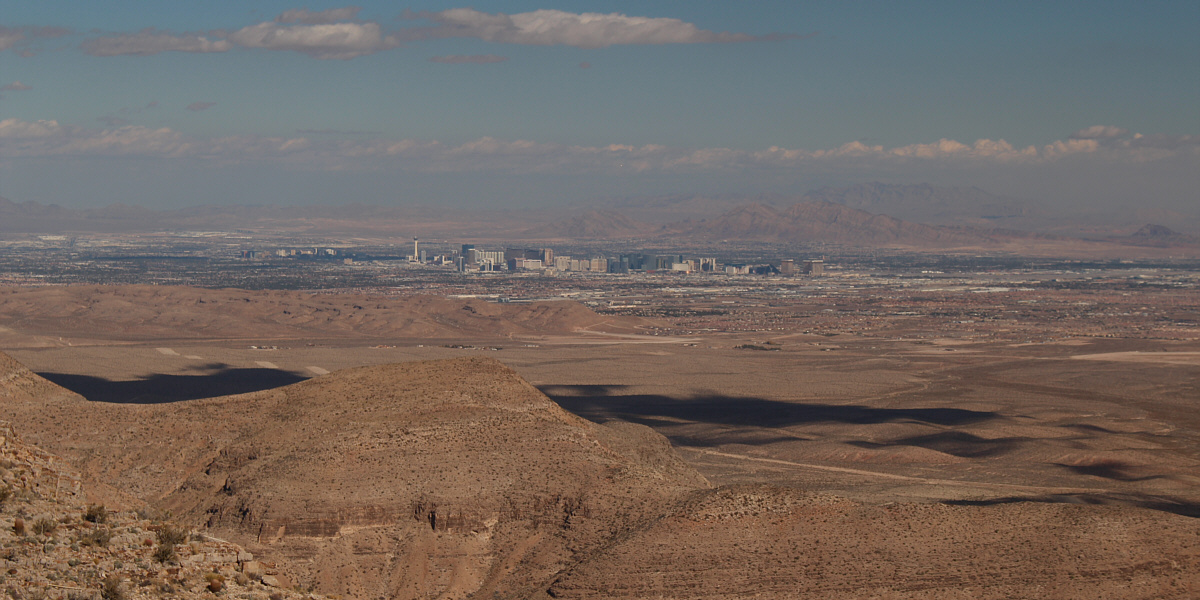
Las Vegas is clearly visible to the northeast.
 |
Another high point (far right) on the ridge appears to be higher. Note the dust storm at distant left. |
 |
Dinah sets off for the other high point further south. |
 |
A dirt road ends on the ridge crest at a dip just before the next high point. |
 |
Shin, Dinah and Sonny reach the second high point which is known simply as Cottonwood Peak and is roughly the same elevation (1605 metres) as North Cottonwood Peak. |
The Bird Spring Range continues to the south at left. The two conspicuous bumps at distant right are Devil Peak and Little Devil Peak. Barely visible on the horizon at far right is Clark Mountain.
Shin, Dinah and I stopped only briefly on the high point of Cottonwood Peak before backtracking a bit to a dip in the ridge crest. Instead of continuing back the way we came, we picked up a dirt road at the dip and followed it westward for a short distance before heading cross-country to the north. We soon picked up a good trail which we had spotted earlier from high on the ridge. This trail is part of a network of mountain biking trails in the area, and by connecting with other trails, we eventually found our way back to the trailhead. Though long, this return route saved us from a lot of unnecessary ups and downs.
The only blemish on an otherwise outstanding day of hiking was when we tried to go to the Cracker Barrel restaurant in Las Vegas for dinner. A very long wait for a table prompted us to go elsewhere, and we settled for dinner at the Sundance Grill in nearby Silverton Casino instead to wrap up our day.
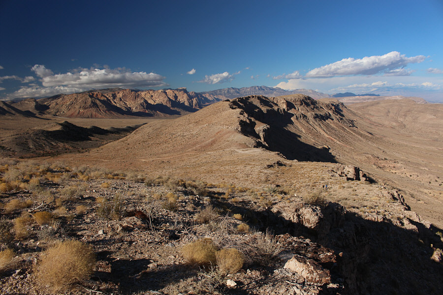 |
Here is a look back north at the main ridge from Cottonwood Peak. |
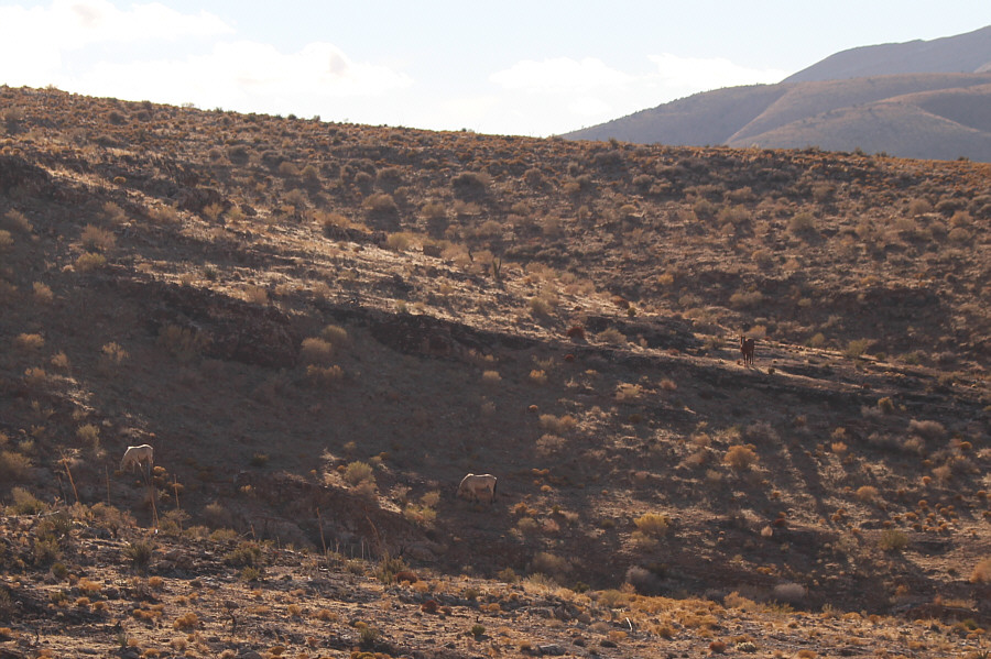 |
A herd of wild horses graze on the lower slopes of Cottonwood Peak. |
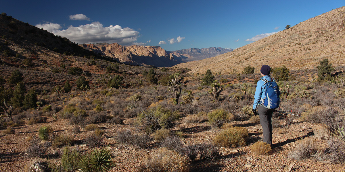
Dinah looks north through a gap to the peaks in Red Rock Canyon NCA. She would follow a mountain bike trail ("3 Mile Smile") through the gap.
 |
This is one of the many Joshua trees found in the vicinity of the gap. |
 |
Hiking out a mountain bike trail, Shin and Dinah pass by the first ridge that they mistakenly ascended in the morning. |
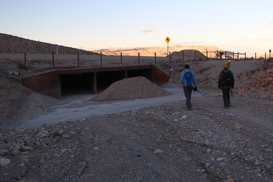 |
Dinah and Shin approach the highway underpass near the trailhead. |
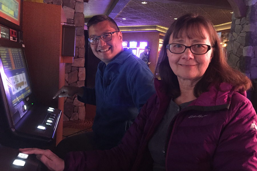 |
While waiting for a table at a restaurant in the Silverton Casino, Sonny and Dinah kill some time (and money) by playing video poker. |
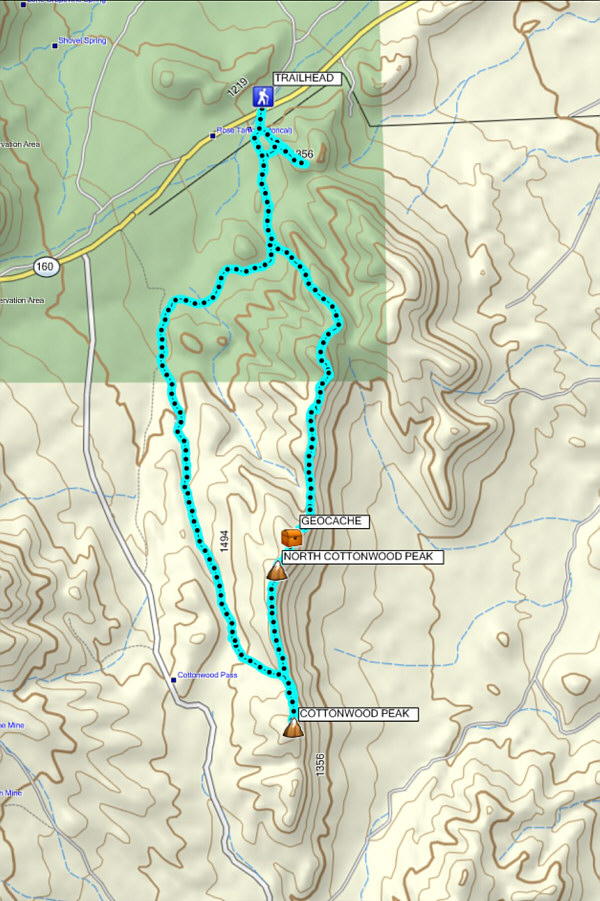 |
Total
Distance: 17.5 kilometres Round-Trip Time: 7 hours 8 minutes Cumulative Elevation Gain: 1167 metres |