BOU AVENUE
Lesueur Ridge
On 12 May 2018, Sheena Chen, Asieh Ghodratabadi, Jean-Sébastien (JS) Jetté, Ali Shariat, Marta Wojnarowska, Zosia Zgolak and I traversed Lesueur Ridge near the Ghost River area west of Cochrane, Alberta.  The hike is described in Gillean Daffern's Kananaskis Country Trail Guide, but we were inspired by Bob Spirko's trip report.  The trailhead is located along Ghost Valley Road about 2.7 kilometres west of the turnoff from Highway 40 (the turnoff is about 7.3 kilometres west of the bridge at the village of Waiparous).

Starting near a sign board with map, we headed north along an obvious wide trail which quickly gains the southeast end of Lesueur Ridge.  We soon arrived at a trail junction near a fence and opted to take the right fork which continues climbing up the crest of the ridge.  The trail undulates a few times as it traverses the ridge in a northwestern direction.  Where the trail turns north, we took a spur trail to the left which leads to a scenic viewpoint.  We took an extended break here before resuming our hike.  Unfortunately, we made the mistake of not backtracking along the spur trail and ended up having to thrash through some annoying bush to get back to the main trail.

The actual high point (1650 metres) of the ridge is unmarked and not really obvious, and we all walked across it without much fanfare.  When we reached an east-west cut line, we turned left and descended it almost all the way to Lesueur Creek.  At a junction just before the creek, we took a left turn onto Lesueur Creek trail and followed it back to the first junction near the fence to complete the loop before returning to the trailhead.
Well, I'm ready for a beer! Near the trailhead, Sonny relaxes on a bar stool that was presumably left behind by some campers.

Photo courtesy of Ali Shariat

This will be more of a social outing than a hike! 
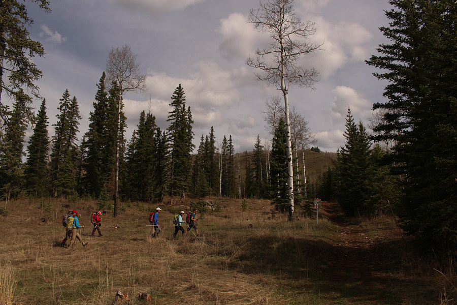
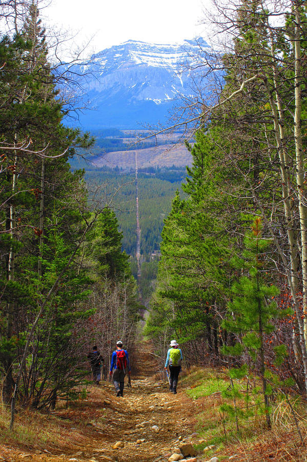
The group head for the obvious trail leading to Lesueur Ridge which can be partially seen behind the trees.
Two roads diverged in a yellow wood...

The group takes the right fork at a trail junction near the southeast end of Lesueur Ridge.

Can you spot the trailhead? 
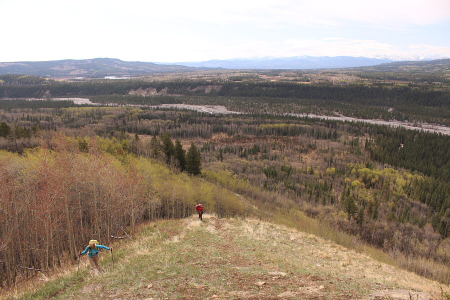
A panoramic view of Ghost River valley unfolds as Marta and Sheena climb higher up Lesueur Ridge.
Wanna touch it? 
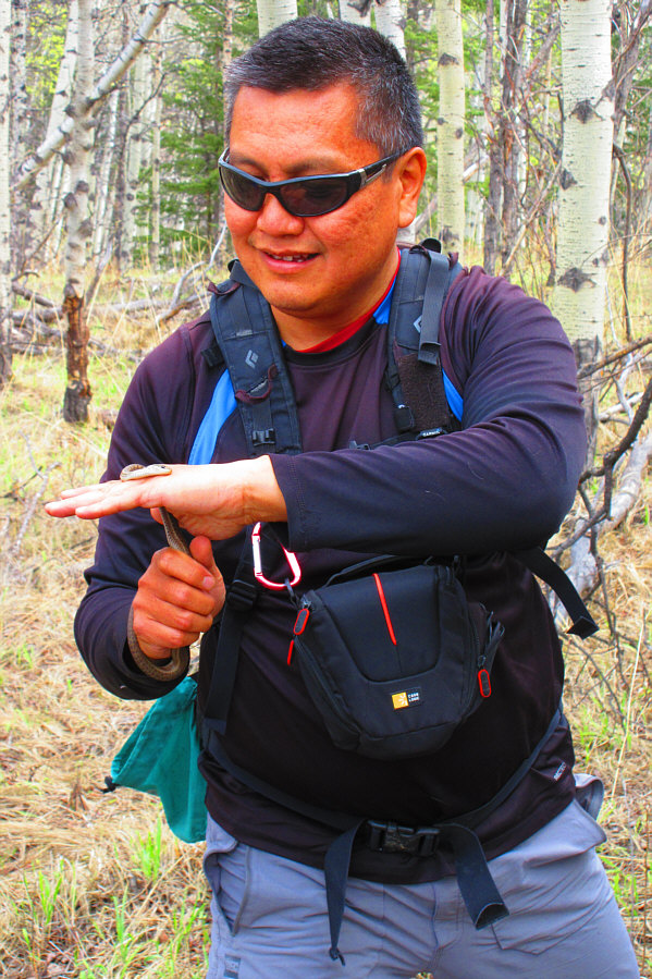
Sonny picks up a little snake somewhere along the trail.

Photo courtesy of Zosia Zgolak

Did you fall out of a plane? 
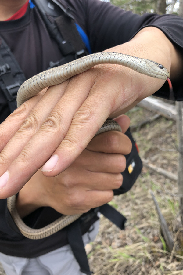
Here is a close-up of the snake with its tongue sticking out.

Photo courtesy of Ali Shariat

Getting into the meat of the hike! 
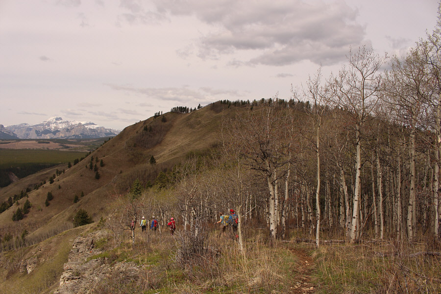
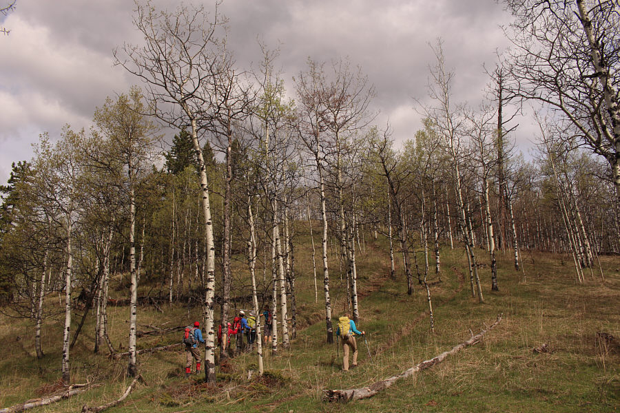
The group approaches the highest sections of Lesueur Ridge.
We're pretty colour-coordinated too--blue on top and red below! 
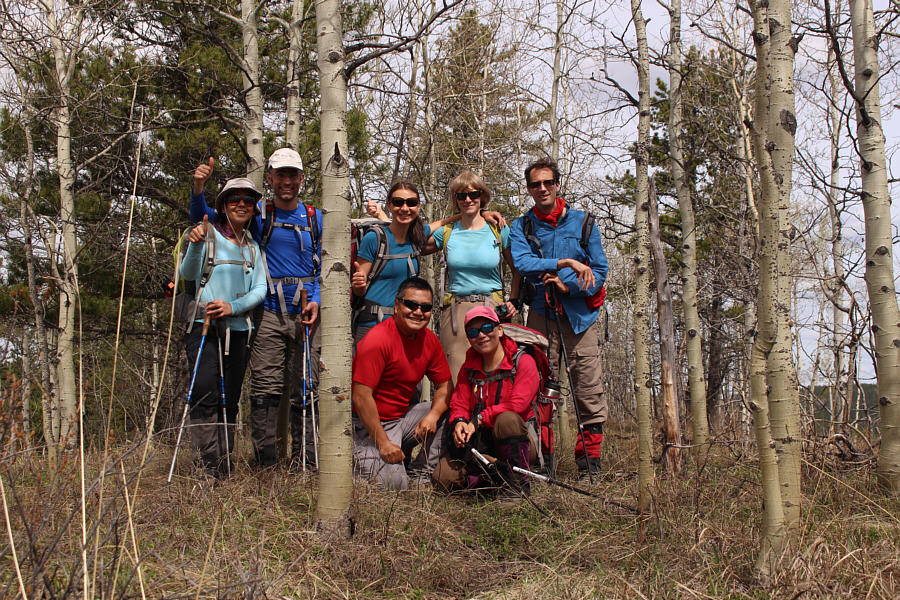
Unsure if this is the high point of Lesueur Ridge or not (it is not), the group poses for a photo anyway.  Standing are Asieh, Ali, Zosia, Marta and JS.  Kneeling are Sonny and Sheena.

Not bad views for the amount of energy expended!

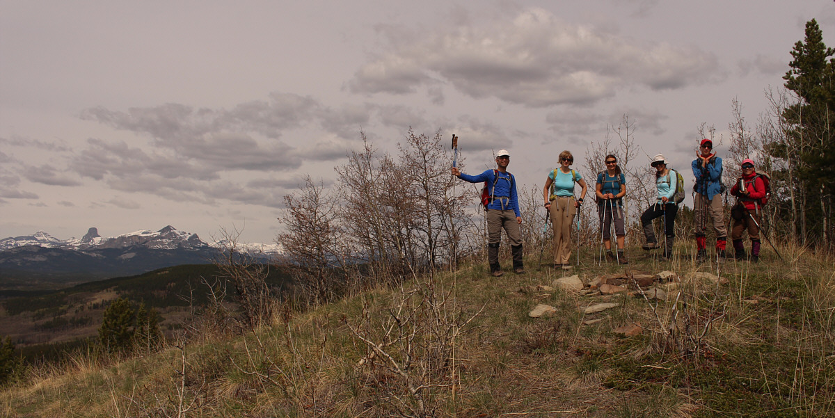
The group stops at a scenic viewpoint off a spur trail.


Both are great day trips! 
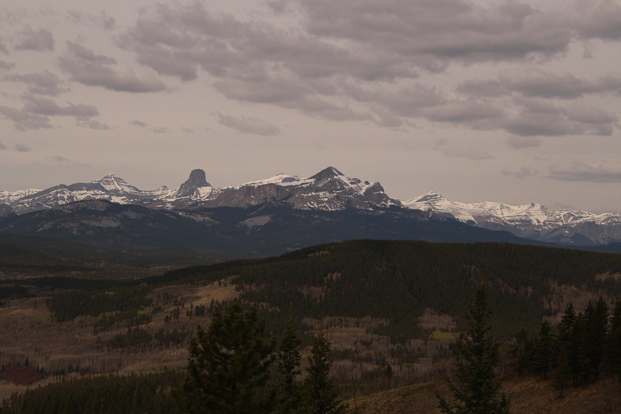
Devils Head (left) and Black Rock Mountain (centre) are the most recognizable peaks to the northwest.
I still haven't climbed either! 
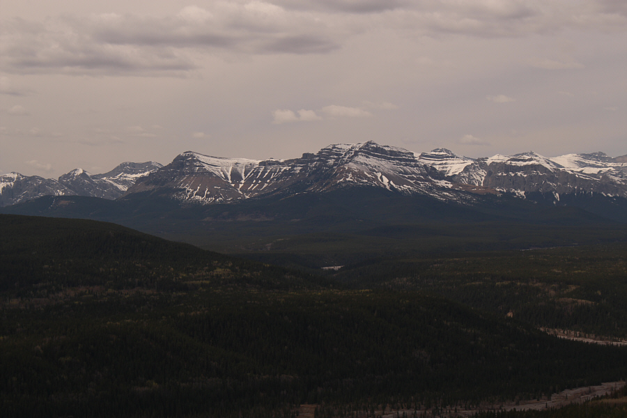
Visible to the southwest are Association Peak and End Mountain.
That was a great "Plan B" trip! 
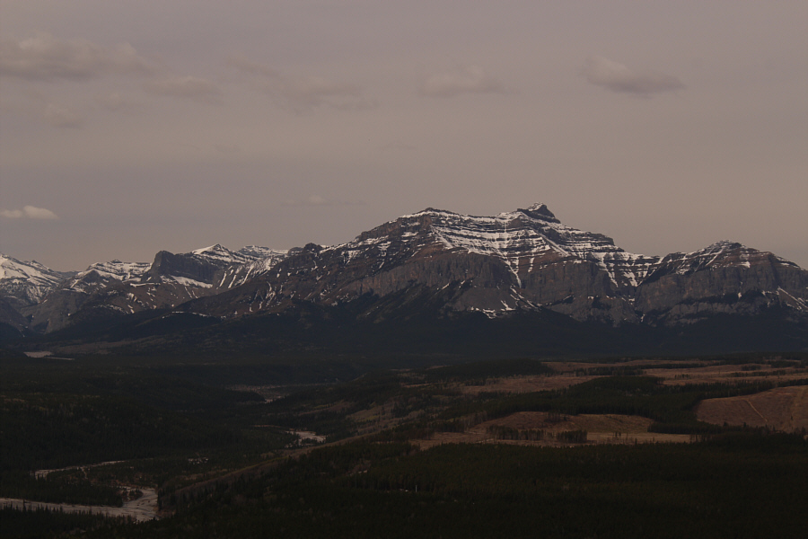
Orient Point sits directly to the west.
It was only a bit of misery but totally avoidable! 
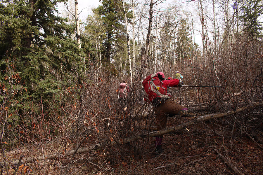
Zosia and Sheena endure a bit of misery to get back to the main trail.
Looks like this would be an awesome toboggan run in winter! Sonny, Ali and Asieh head west along the cut line.

Photo courtesy of Zosia Zgolak

A good place to hold a "Tough Mudder" run! 
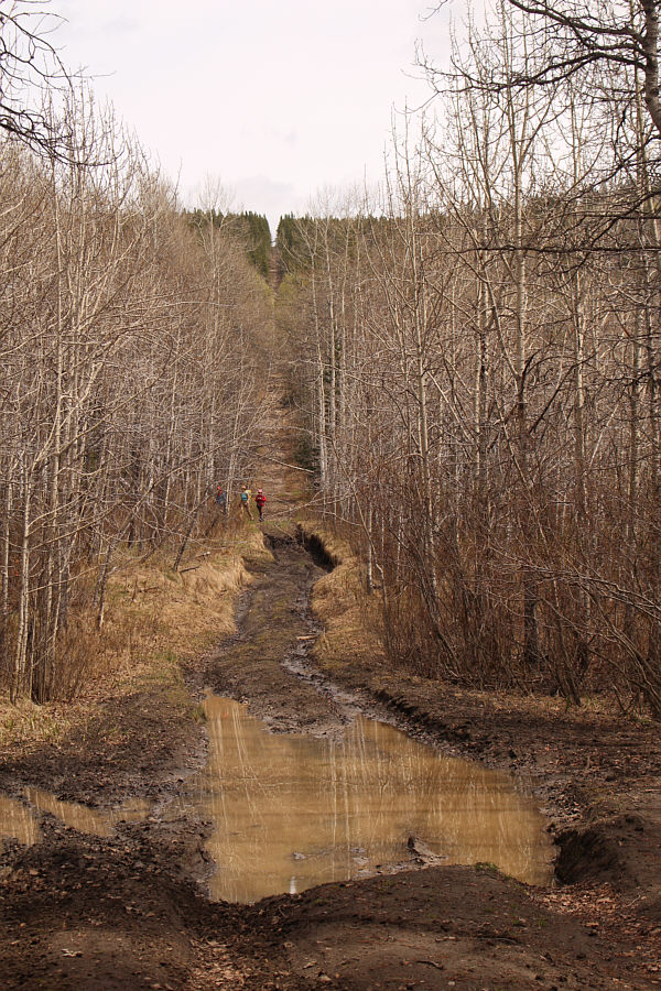
JS, Marta and Sheena take to the trees to circumvent a big mud hole in the cut line.
Looks like a rather boring walk back... 
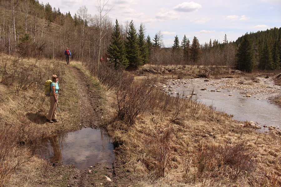
Marta and the rest of the group head back east alongside Lesueur Creek.
A very pleasant surprise, indeed! 
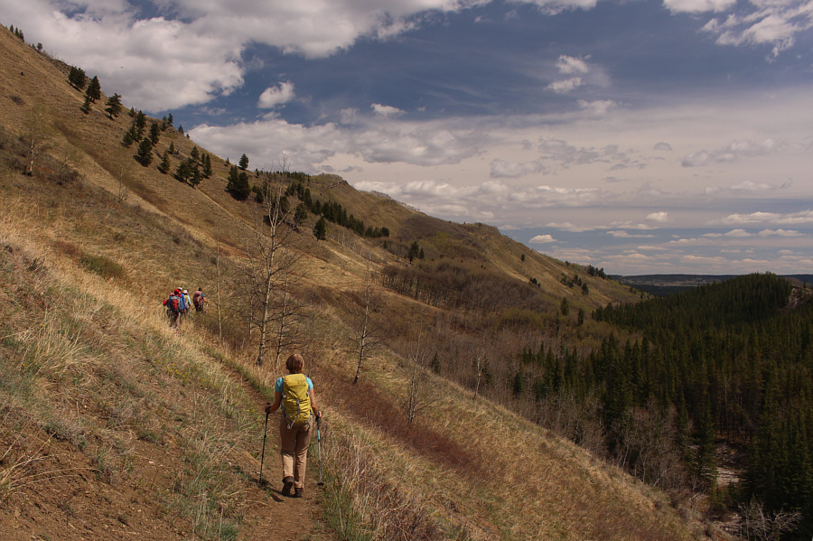
The return hike along the lower slopes of Lesueur Ridge is surprisingly scenic.
You could probably do this hike all year round! 
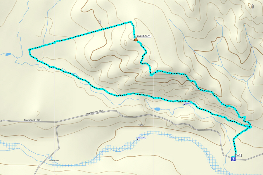
Total Distance: 9.1 kilometres
Round-Trip Time: 5 hours 3 minutes
Net Elevation Gain: 291 metres

GPX Data