

|
|
Sonny's car is parked short of the trailhead which is just beyond the creek running across the road. |
|
|
Zosia finds a good trail heading into the cut block. |
|
|
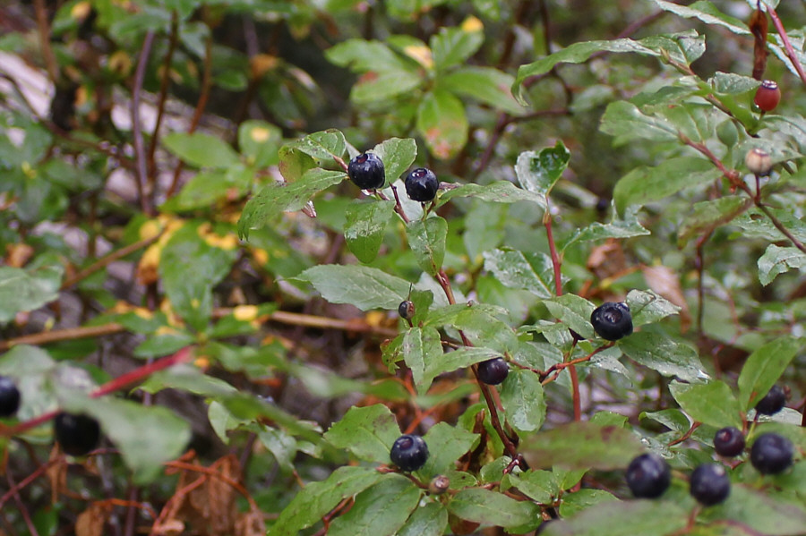
Ripe huckleberries are abundant in the forest on this day. |
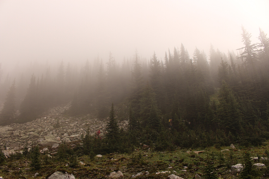
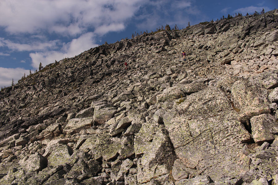
Further up, we briefly went a bit off-route again at the bottom of a talus slope. While the correct route skirts around the edge of the boulders to climber's right, we simply climbed straight up until we spotted flagging again in some trees just below a steep chute. Some easy scrambling brought us next to a cairn at the top of this chute. The cairn marks the start of the "plateau" section--more like a broad ridge--as described by Wilkey.
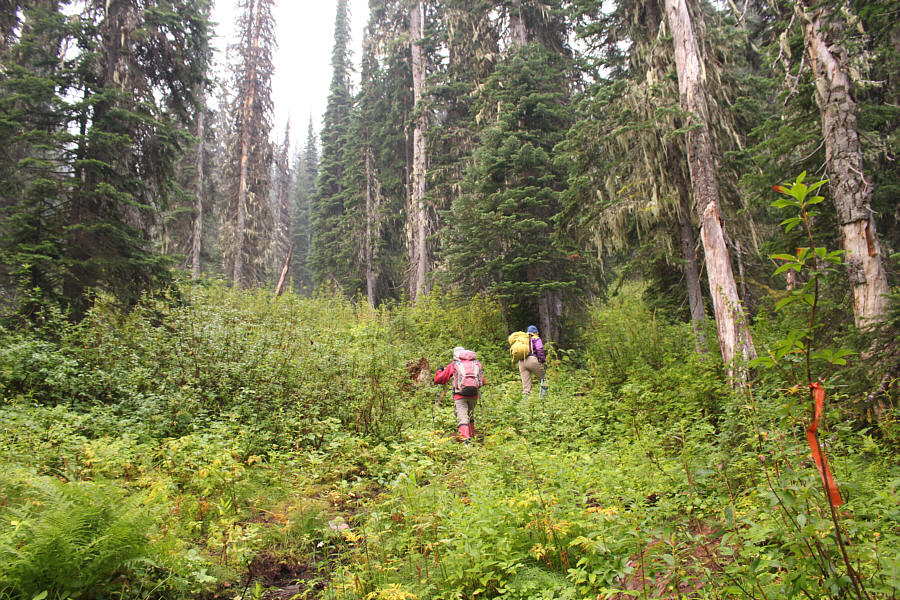 |
The trail is flagged and easy to follow through the forest. |
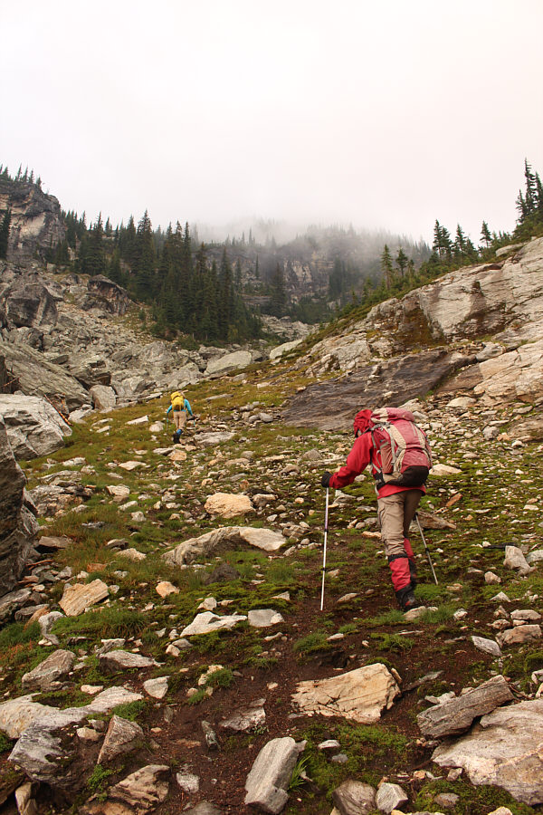 |
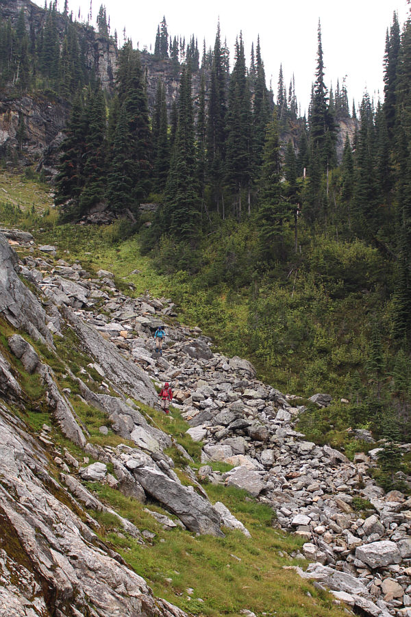
Marta and Zosia continue to follow a beaten path up a broad gully. |
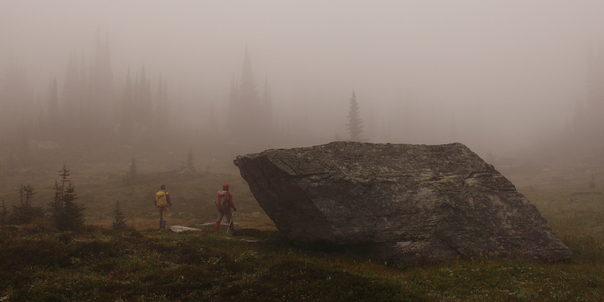
Marta and Zosia walk by a huge boulder at a pass which is shrouded in mist.
 |
Zosia and Marta find a flagged trail which climbs up the forested slope east of the pass. |
 |
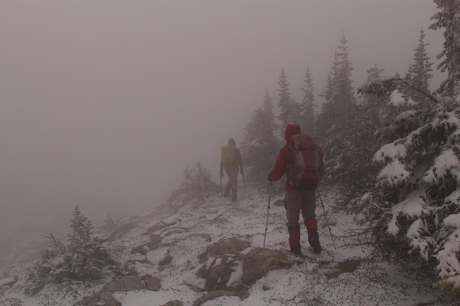
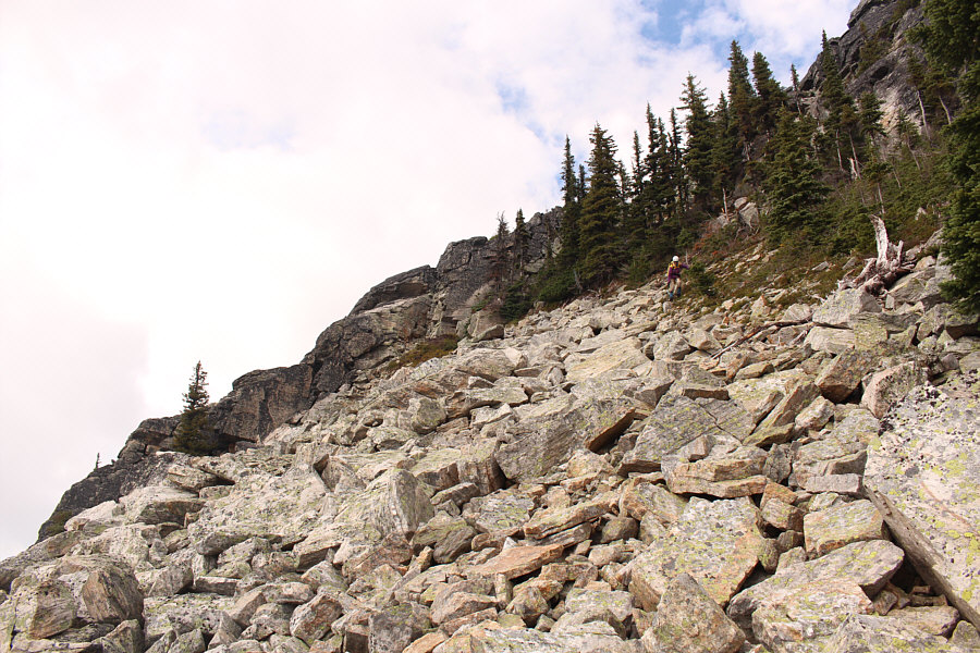
After climbing up a talus slope, Marta squeezes through some trees at the bottom of a steep chute granting access to the upper ridge. |
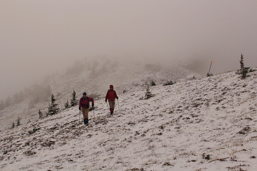
After we passed a survey benchmark on the highest point of the traverse, the mist and clouds slowly began to lift, and our visibility of the surrounding landscape steadily improved. As a consequence though, the plod up the final slope to the summit seemed longer because of foreshortened views.
A little over five hours after leaving my car, we finally reached the summit of Mount Macpherson.
 |
Navigating the upper ridge is problematic with all the mist. |
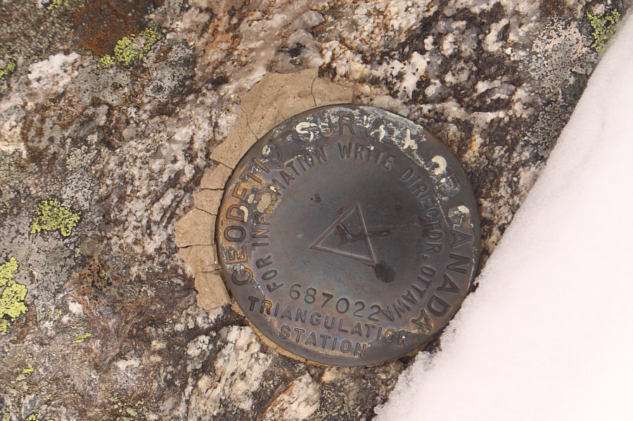 |
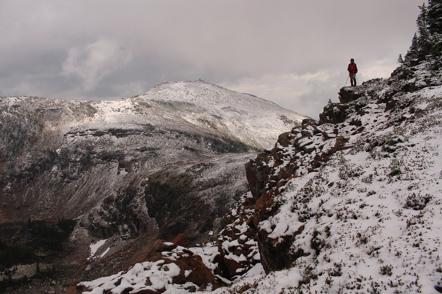
Here is a survey benchmark on the highest point of the ridge (2377 metres) west of Mount Macpherson's summit. |
 |
The occasional stick with flagging tape helps Marta and Zosia stay on track. |
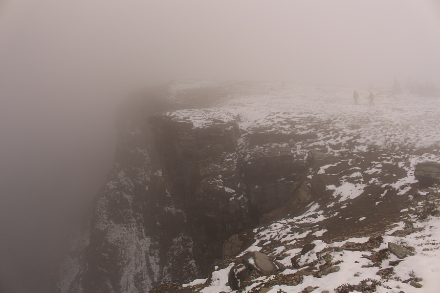 |
Marta and Zosia pass by some startlingly big cliffs. |
 |
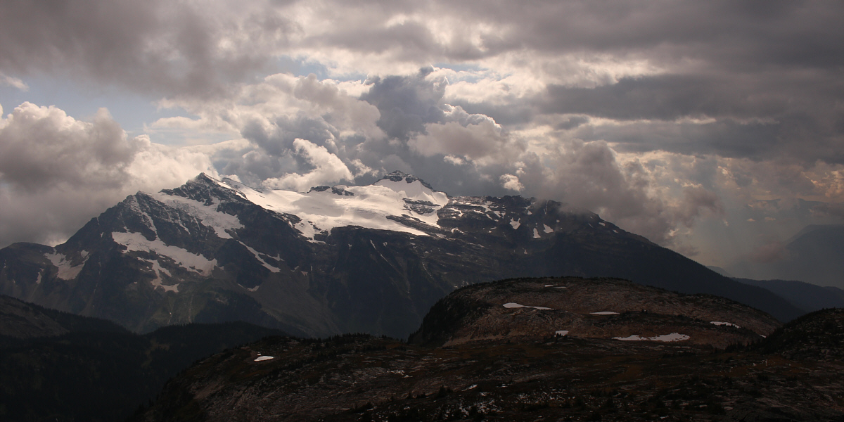
The mist begins to lift as Zosia and Marta descend the ridge to a low point before the final climb up to the summit. |
 |
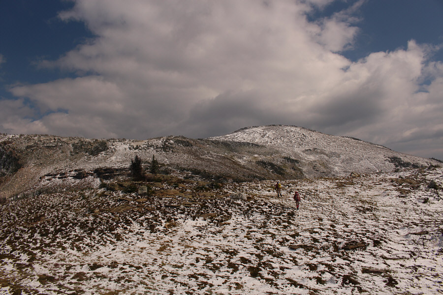
Zosia gets her first clear view of the summit. |
 |
Marta and Zosia hike up the final slope before the summit. |

The clouds finally clear up enough to reveal Mount Begbie to the southeast.
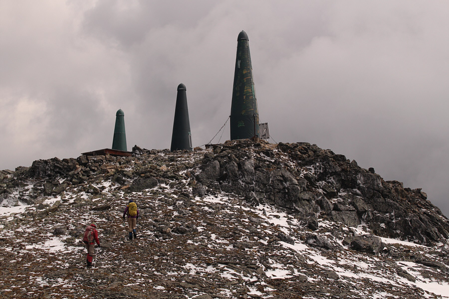 |
Three "green rockets" (telecommunication installations) adorn the top of Mount Macpherson. |
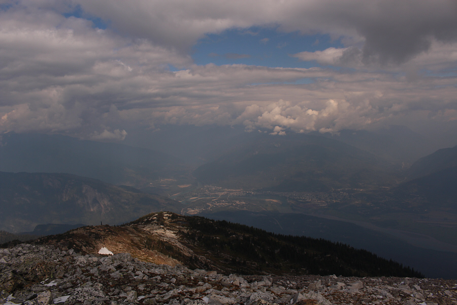 |
Here is a view of Revelstoke from the top of Mount Macpherson. |
 |
Sonny, Zosia and Marta stand beside a cairn near the summit of Mount Macpherson (2422 metres). |
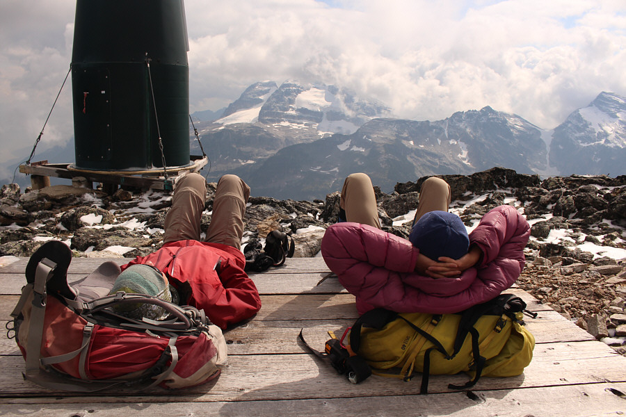 |
Zosia and Marta relax on the summit helipad. |
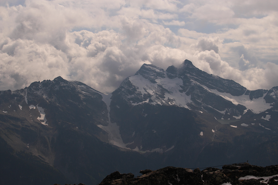 |
Mount Tilley looks dramatic to the south. |
After scrambling down the chute, we stuck to the aforementioned correct route around the fringe of the talus slope and soon picked up the flagged trail which we had ascended from the pass. Oddly enough, we briefly lost the trail again while descending the broad gully below the pass, but as before, we managed to get back on track without too much hassle. The remainder of our descent was uneventful except for the numerous stops to gorge on all the huckleberries that we passed up on earlier in the day.
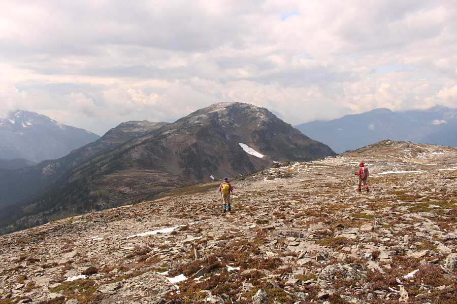 |
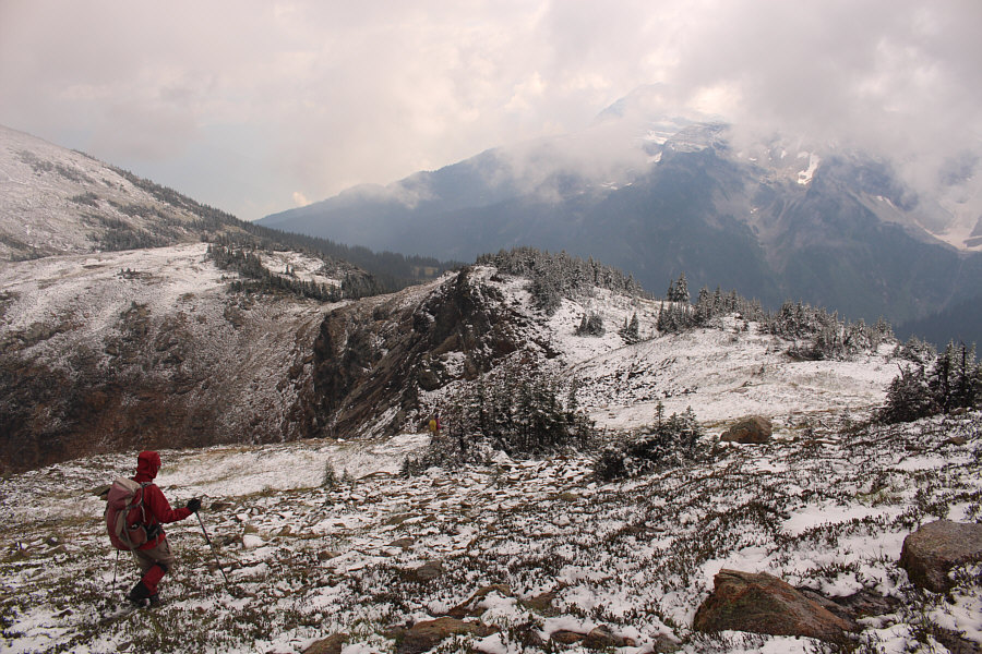
Marta and Zosia begin the long trudge back along the west ridge. |
Mount English dominates the view to the southwest.
 |
Zosia and Marta descend a boulder field near the end of the traverse across the upper ridge. |
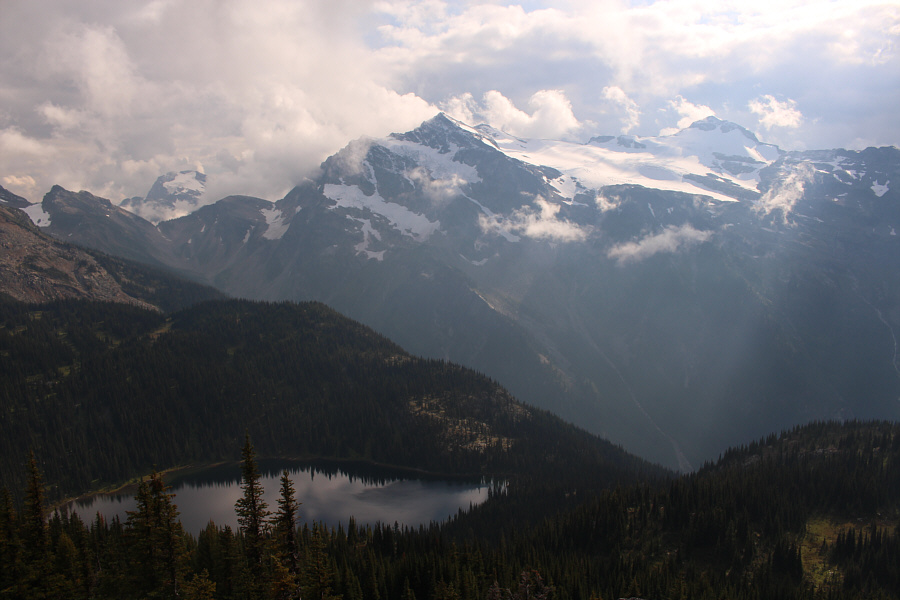 |
English Lake is revealed in this view from the top of the access chute. |
 |
Marta descends along the fringe of the talus slope below the chute. |
 |
Marta and Zosia are a bit off-trail here as they descend the broad gully. |
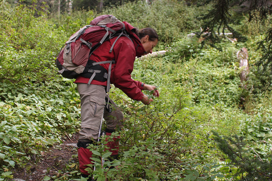 |
Zosia stops to pick ripe huckleberries along the trail. |
 |
Here is a close-up view of the huckleberries. |
 |
Total
Distance: 15.6 kilometres Round-Trip Time: 9 hours 47 minutes Net Elevation Gain: 866 metres |