|
|
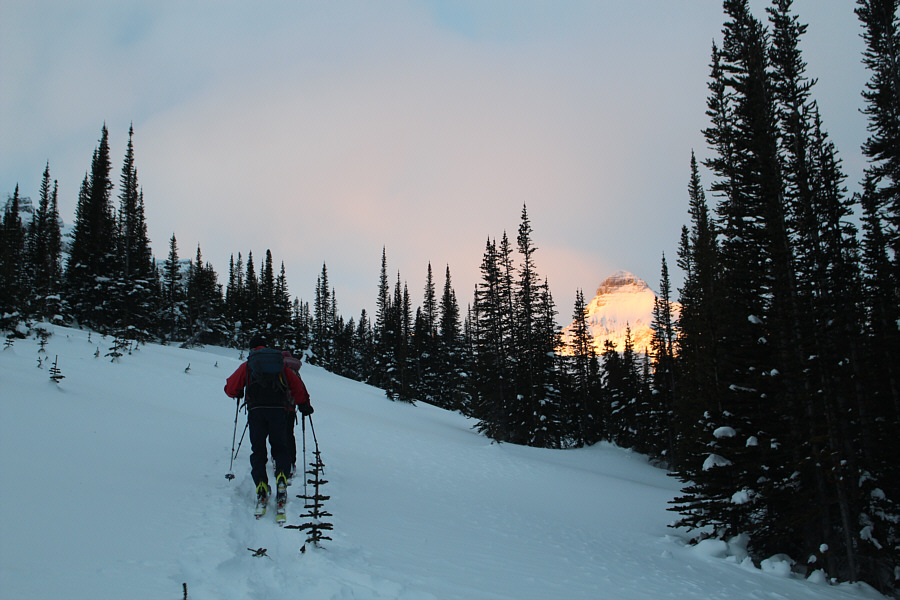
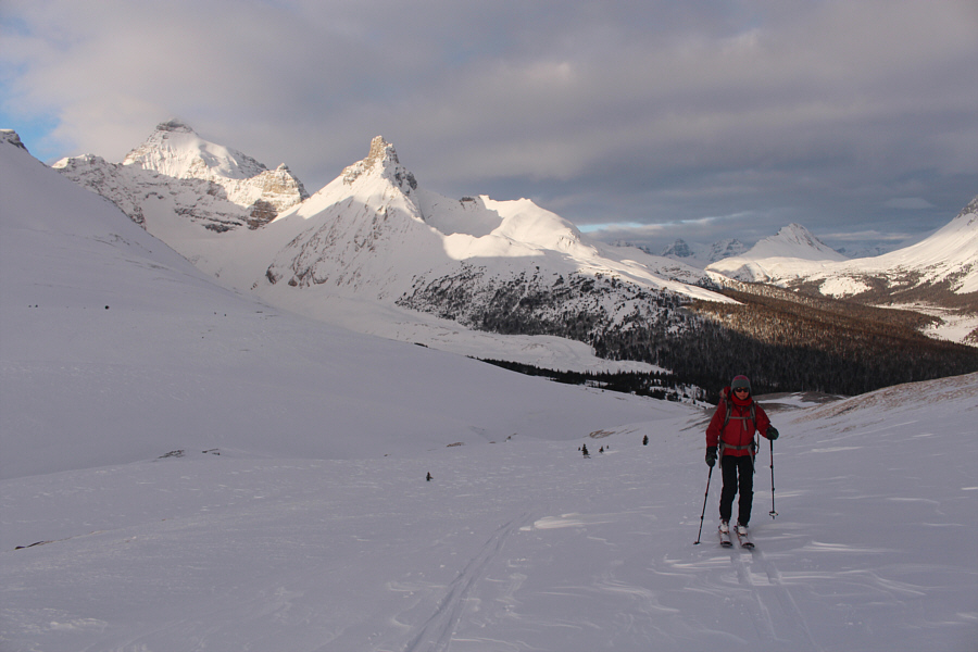
The morning sun lights up Mount Athabaska through the trees as Mike and Zosia climb up Parker Ridge. |
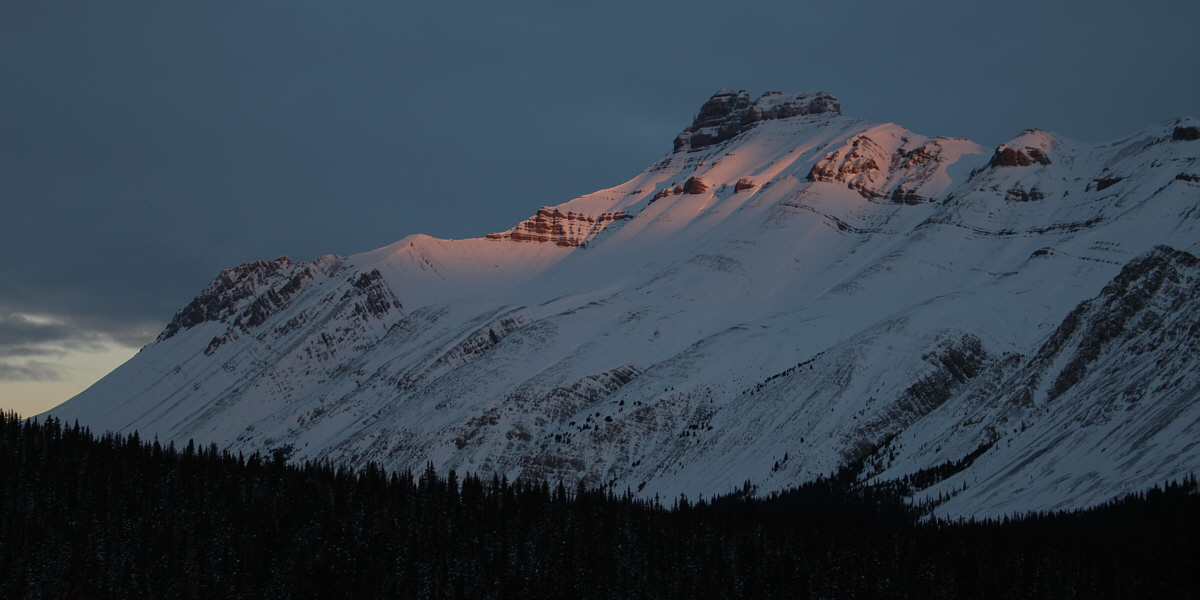
Parts of Nigel Peak glow in the light of dawn.
 |
The trees begin to thin out as Zosia and Mike climb higher up the ridge. |
 |
Sunlight dances on the tops of Mount Athabaska (left) and Hilda Peak. |
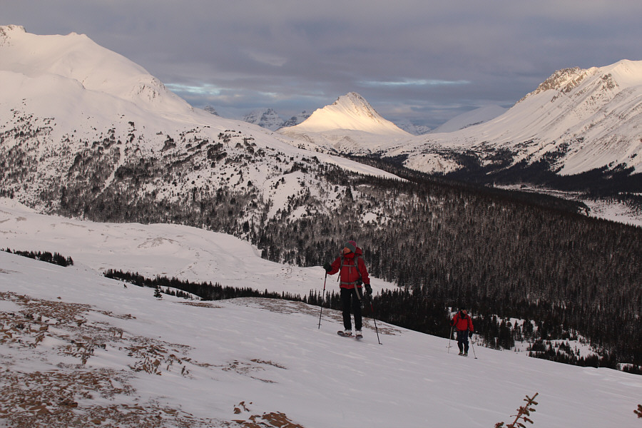 |
Parts of the slope are windswept as Zosia and Mike continue to climb higher. At centre in the distance is Mount Wilcox. |
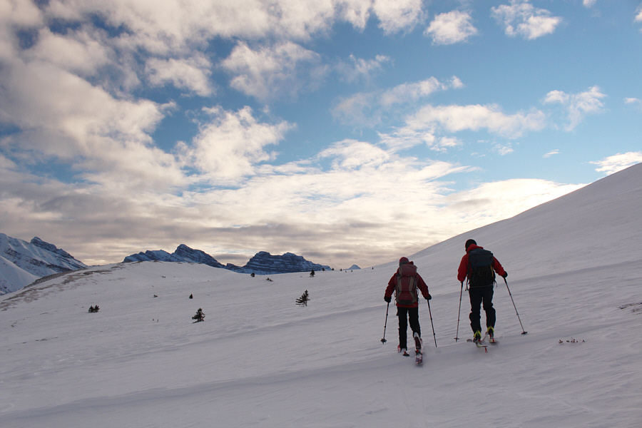 |
Zosia and Mike make their way toward one of Parker Ridge's high points at left. |
 |
Getting to the high point (right) entails crossing a shallow gully. |
 |
Zosia clears the shallow gully and resumes climbing. |
 |
Zosia follows Mike up the ridge below the high point. |
 |
Zosia carefully negotiates the windswept ridge crest. Cirrus Mountain is visible at far left while Mount Coleman is the diminutive peak at centre. |
 |
Zosia, Mike and Sonny rejoice on the high point (2338 metres). |
 |
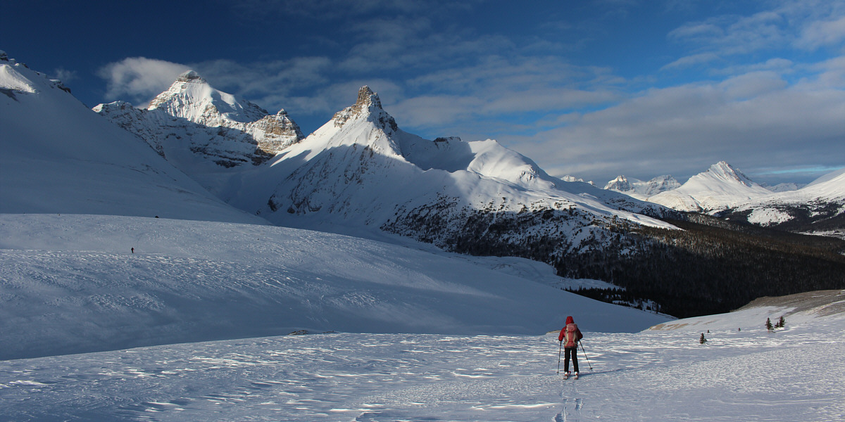
Parker Ridge is essentially the extended east ridge of Mount Athabaska (right of centre). |
 |
Mount Wilcox and Nigel Peak stand prominently to the northwest. |
 |
This is looking east toward another high point along Parker Ridge. |
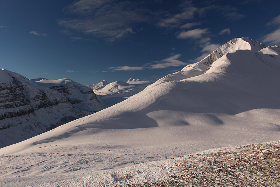 |
Mount Bryce and Castleguard Mountain are visible in the distance through the gap to the southwest. |
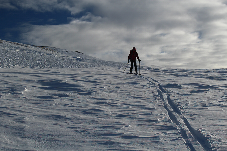 |
Zosia follows Sonny's tracks down the ridge. |
Zosia makes her way back down the ridge. Mike is visible at left on the other side of the shallow gully.
 |
Mike and Zosia ski down a crusty slope en route to Hilda Creek Hostel. |
 |
Total
Distance: 4.9 kilometres Round-Trip Time: 3 hours 8 minutes Net Elevation Gain: 306 metres |