Photo courtesy of Zosia Zgolak
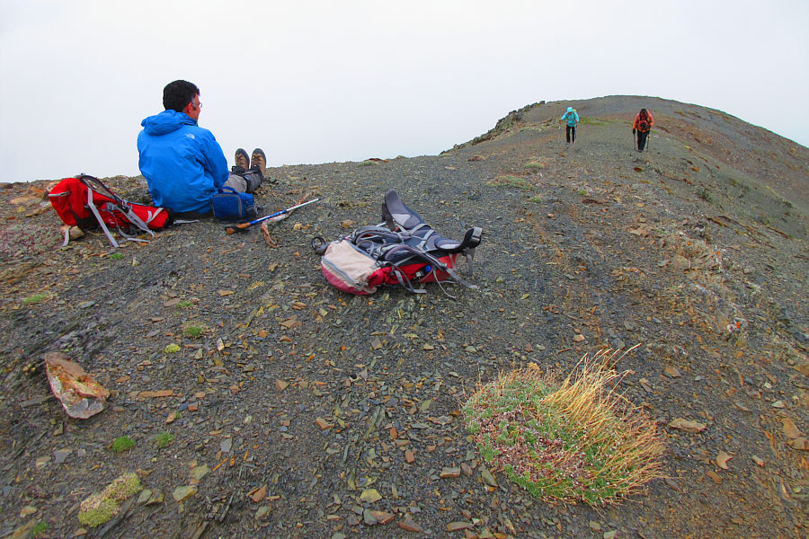
Photo courtesy of Zosia Zgolak
Brisk winds buffeted us as we followed the undulating ridge over an unnamed hump and then up the east ridge of St. Eloi Mountain. Travel was nevertheless easy, and the wind was surprisingly light at the summit.
For our return trip, we retraced our steps back down the east ridge to the col separating St. Eloi Mountain and the aforementioned hump.
|
|
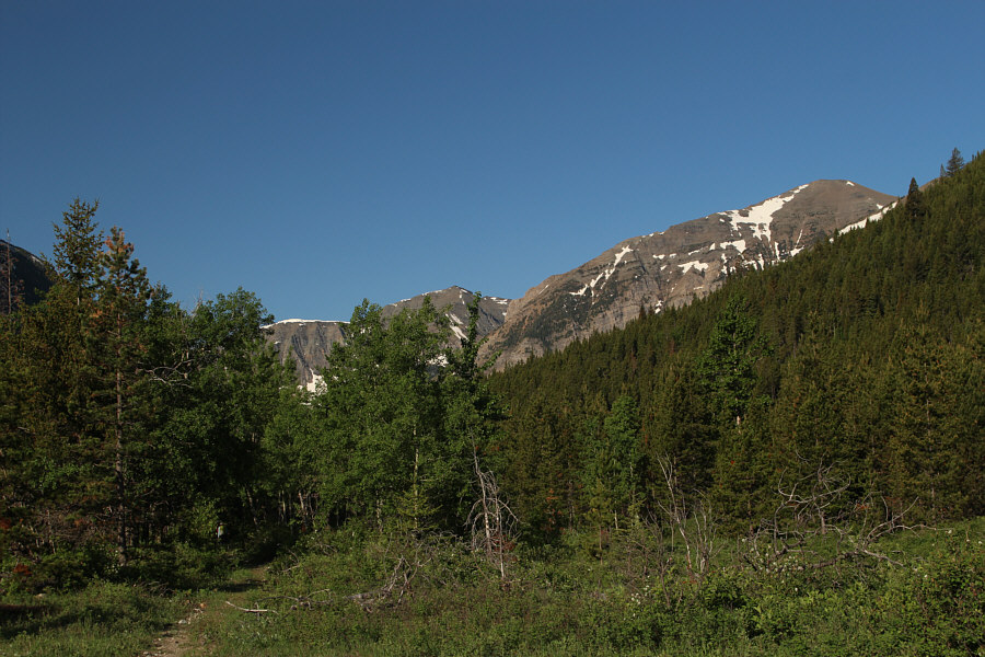
St. Eloi Mountain (right) is visible from a clearing near the trailhead. |
|
|
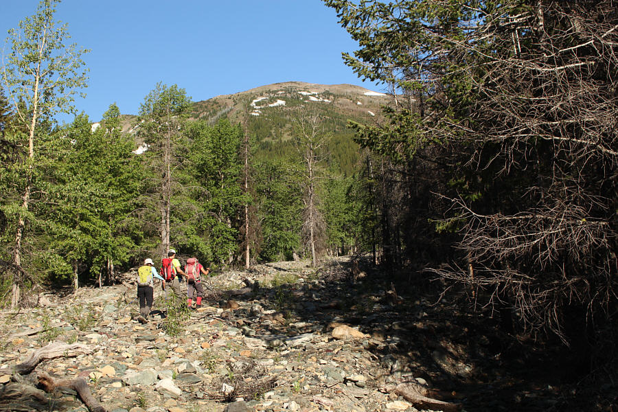
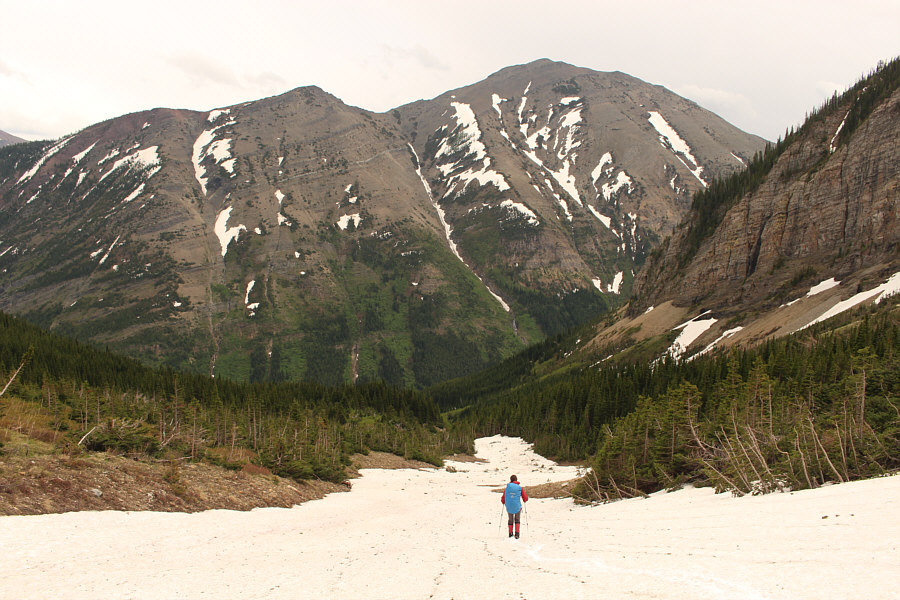
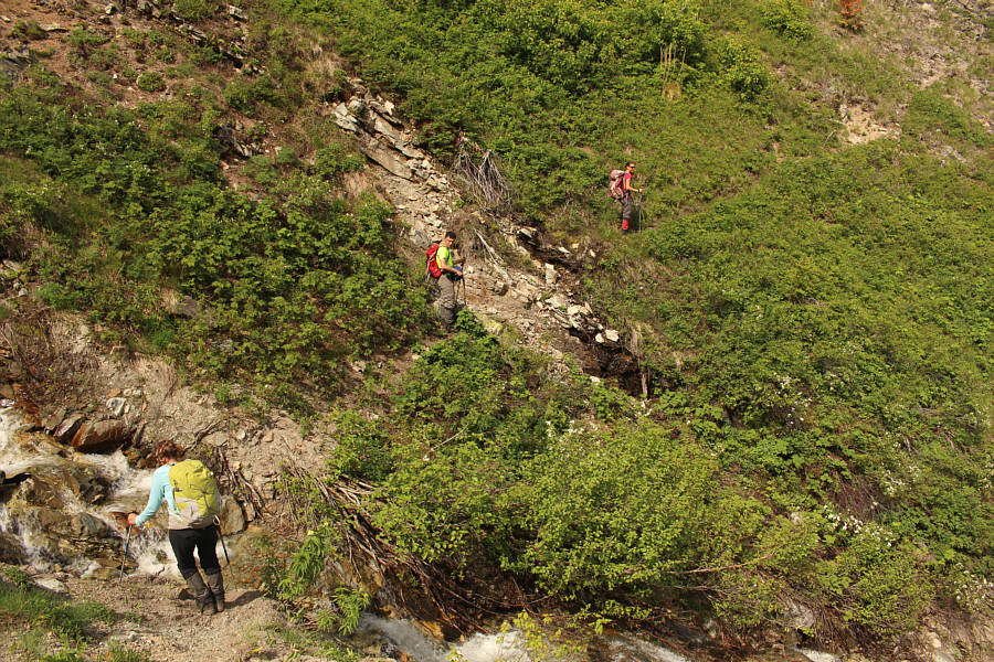
Asieh, Ali and Zosia head up a rocky drainage which is the access point for St. Eloi Mountain. |
|
|
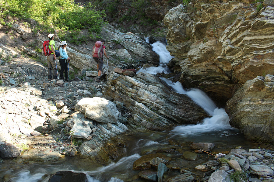
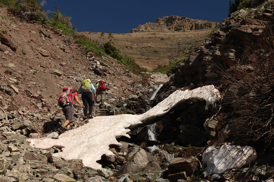
The group bypasses a cascade in the drainage. |
|
|
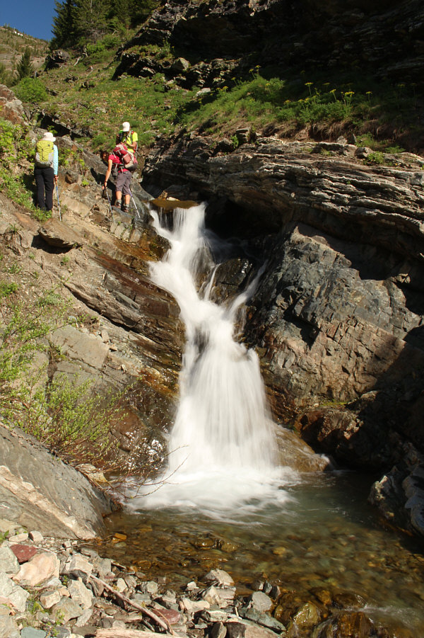
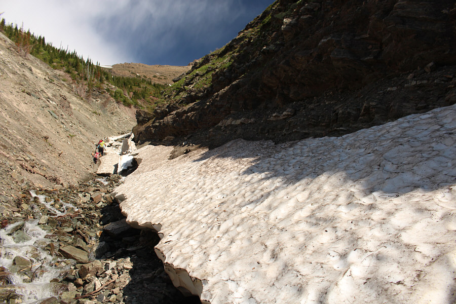
Another cascade further up the drainage is a little more challenging to get by. |
|
|
The group encounters steep embankments and lingering snow patches further up the drainage. |
|
|
Travel up the drainage becomes more unpleasant as the group encounters avalanche debris and suspect snow bridges. |
|
|
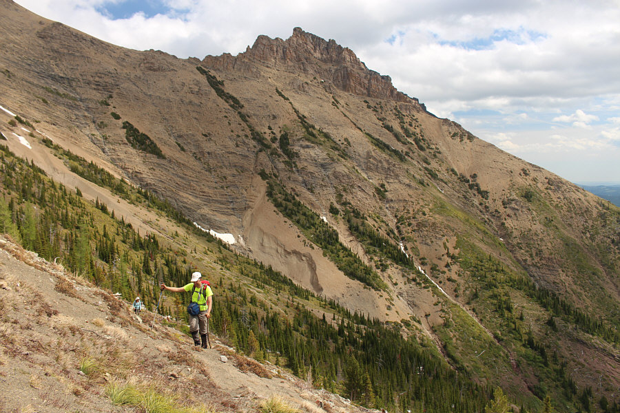
Asieh and Ali climb up steep slopes after leaving the drainage. Behind them is the first peak of Syncline Mountain. |
|
|
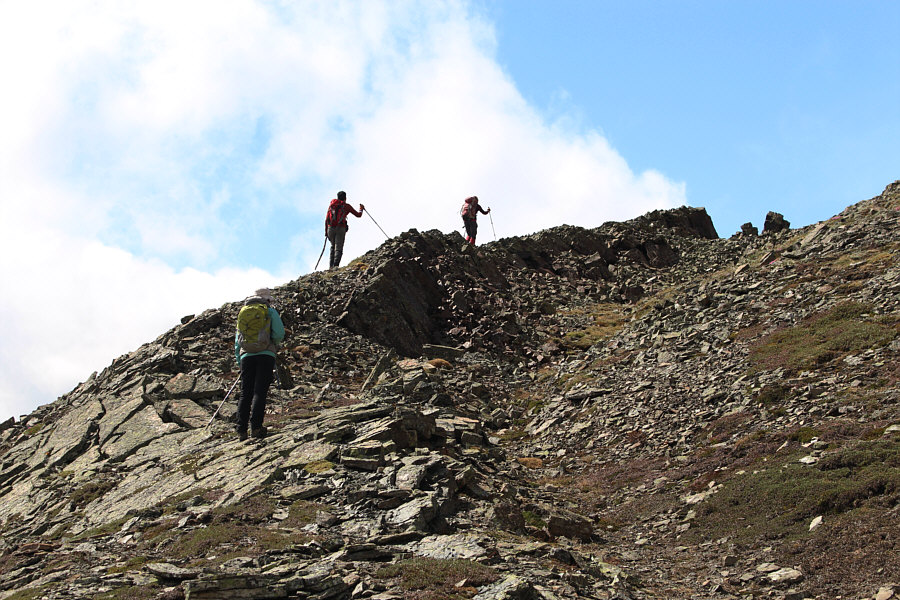
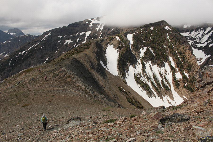
Asieh, Ali and Zosia gain the crest of the connecting ridge between Syncline Mountain and St. Eloi Mountain. |
|
|
The group hikes toward an intervening high point (right) along the connecting ridge. At distant far left is Tombstone Mountain. |
|
|
The group loses some elevation from the intervening high point as they approach the main bulk of St. Eloi Mountain. The slope at bottom left would be the group's eventual route of descent. |
|
|
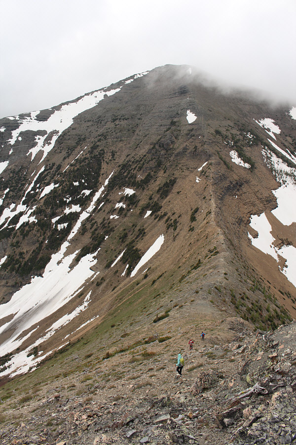
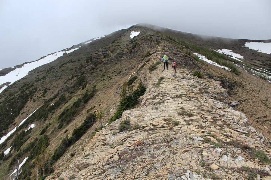
The group climbs up the northeast ridge of St. Eloi Mountain. |
|
|
This is looking back at the
intervening high point along the connecting ridge. Photo courtesy of Zosia Zgolak |
|
|
Ali watches as Asieh and Sonny take the last
few steps before the summit. Photo courtesy of Zosia Zgolak |
Asieh, Ali, Zosia and Sonny stand on the summit of St. Eloi Mountain (2497 metres).
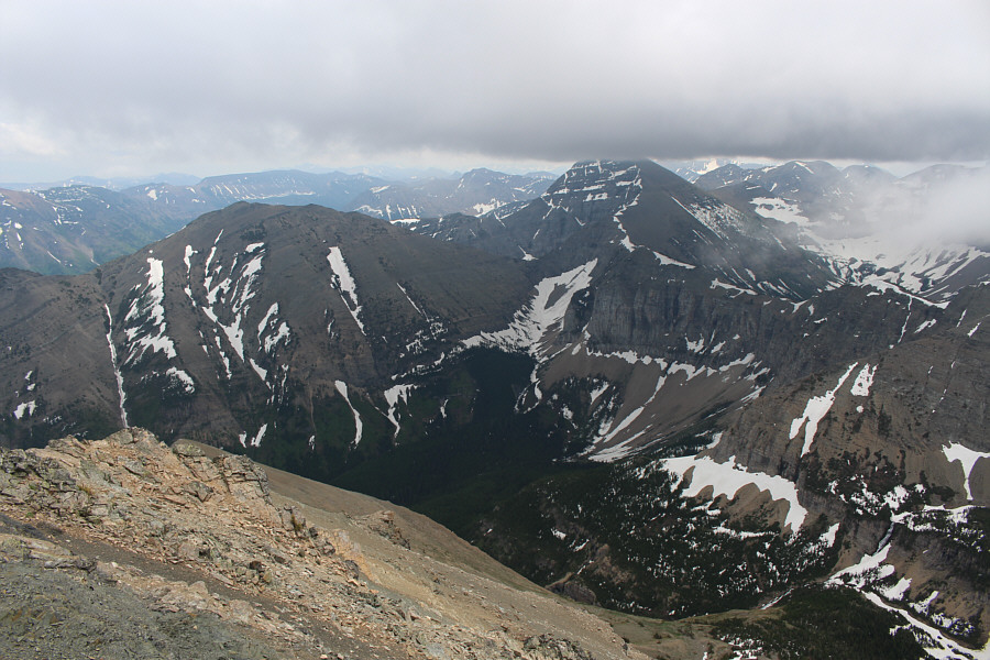 |
To the southeast are Gravenstafel Ridge and Mount Haig. |
 |
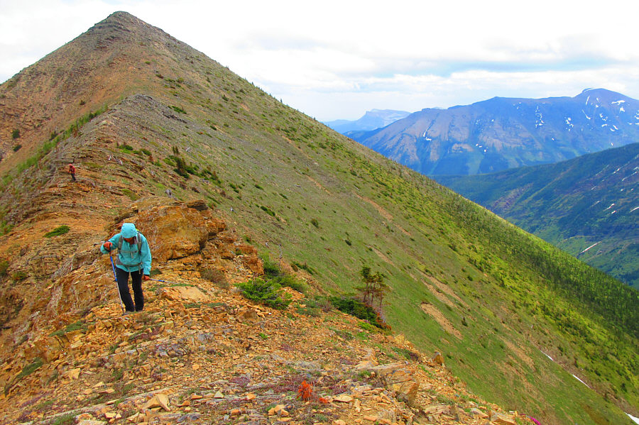
Zosia retraces her steps down the northeast ridge. |
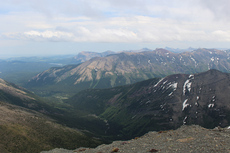 |
Table Mountain, Southfork Mountain, Mount Gladstone, Castle Peak, Windsor Mountain and Barnaby Ridge are all visible to the east. |
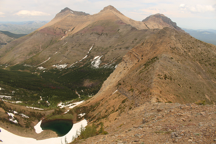 |
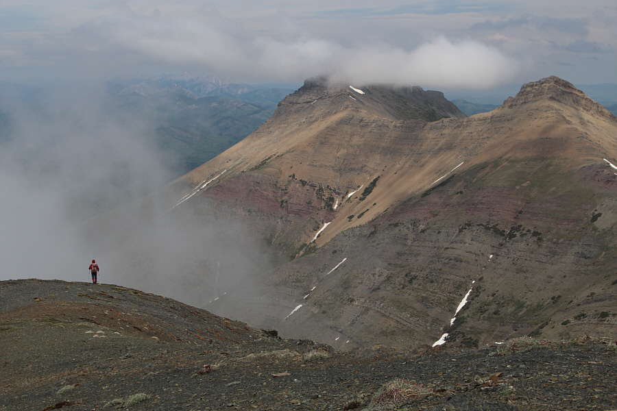
An unnamed tarn sits below the connecting ridge to Syncline Mountain at the head of Gardiner Creek. |
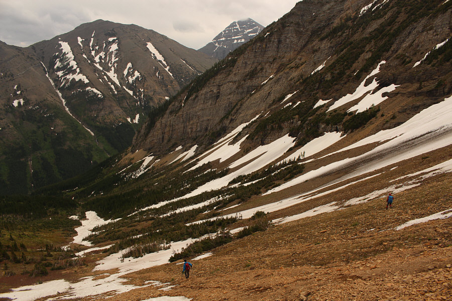 |
Ali and Zosia descend into the basin just east of St. Eloi Mountain. Gravenstafel Ridge and Mount Haig are once again visible in the background. |
 |
Sonny surfs down some loose scree. Photo courtesy of Ali Shariat |
 |
Zosia takes advantage of some snow patches to descend further down the basin. |
 |
Asieh follows Ali down a large snow patch. The connecting ridge is visible above them. |
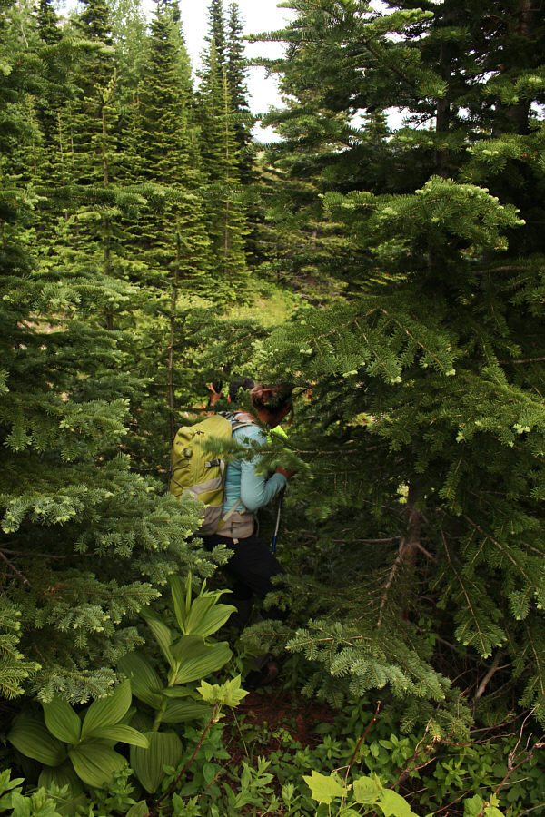 |
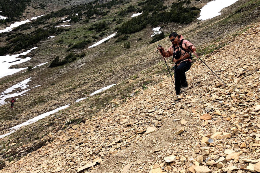
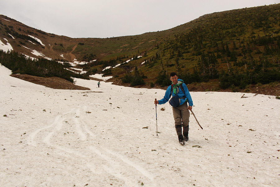
As expected, the bushwhacking is moderate along the group's chosen descent route. |
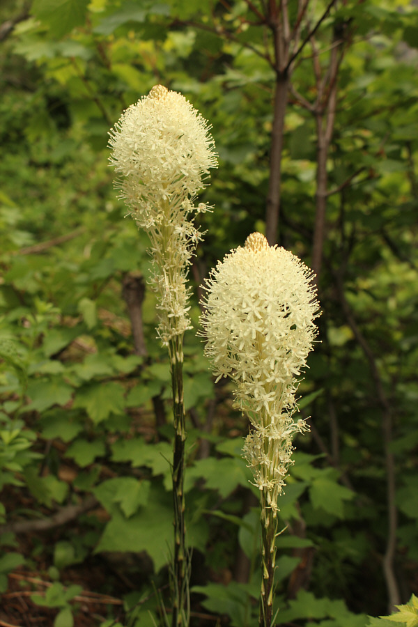 |
Beargrass is already blooming in the area. |
 |
Asieh, Ali and Zosia follow a game trail across a side creek. Unfortunately, there are many such trails above Syncline Brook which look promising for a short distance but ultimately peter out in more thick bush. |
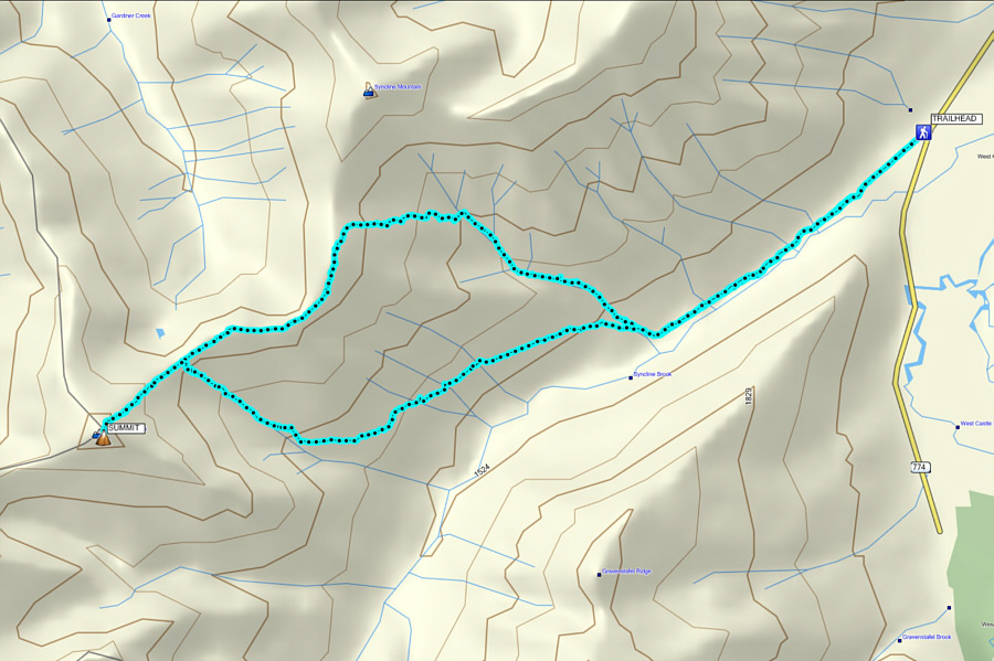 |
Total
Distance: 14.3 kilometres Round-Trip Time: 8 hours 54 minutes Net Elevation Gain: 1097 metres |