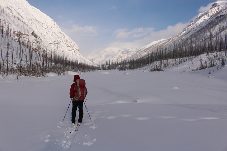
Zosia clears the trees and looks toward the head of the valley.
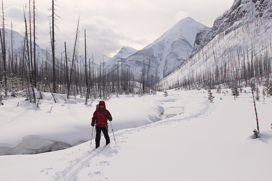
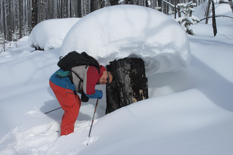
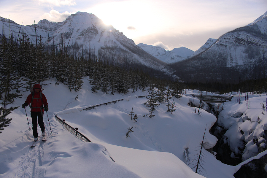
Photo courtesy of Zosia Zgolak
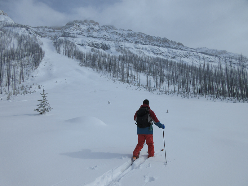
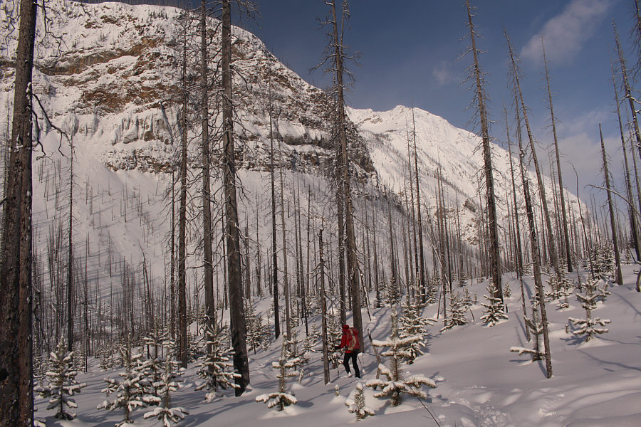
Photo courtesy of Zosia Zgolak
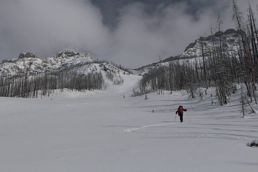
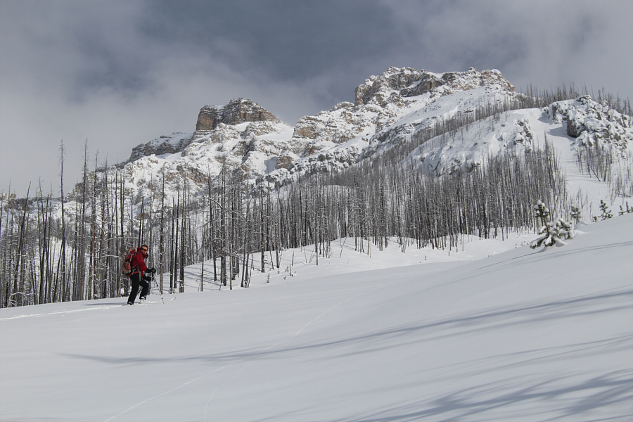
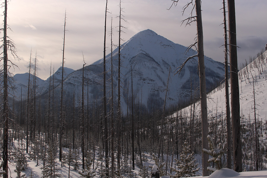
Photo courtesy of Zosia Zgolak
Photo courtesy of Zosia Zgolak
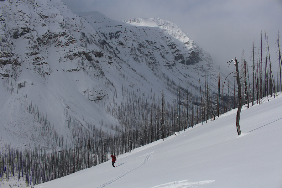
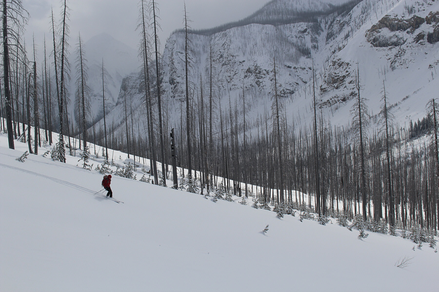
Photo courtesy of Zosia Zgolak
Photo courtesy of Zosia Zgolak
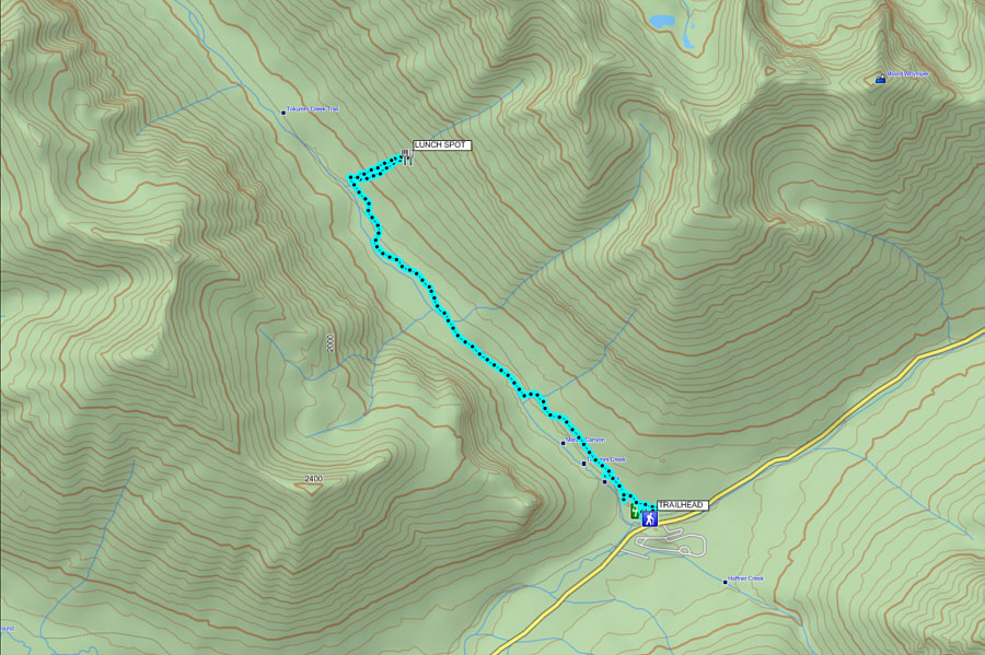
Total Time: 5 hours 57 minutes
Net Elevation Gain: 271 metres