 |
The group arrives at a viewpoint with a bench at the junction between High Rockies Trail and the route to Rummel Ridge. |
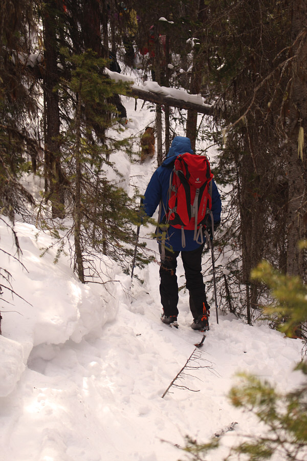 |
Traversing across the west slope of Rummel Ridge is not much fun. |
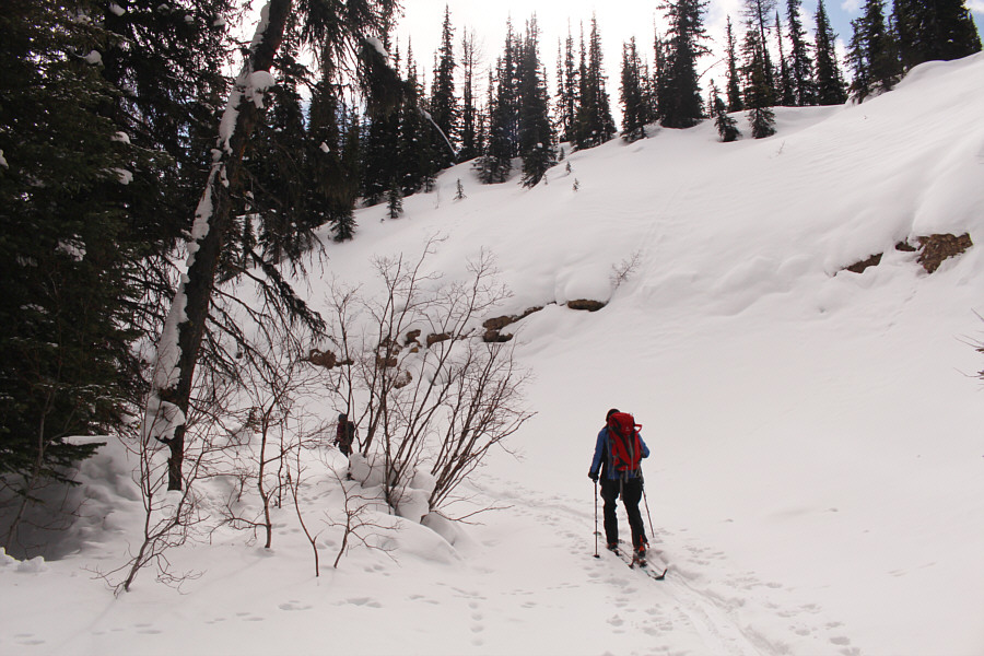 |
Skiing up Rummel Creek is very pleasant. |
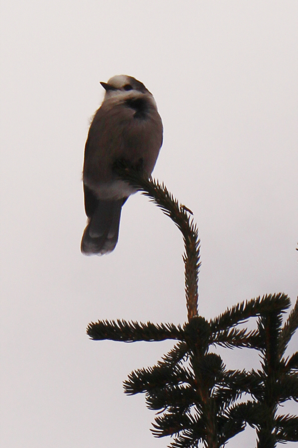 |
This is one of several whisky jacks at Rummel Lake looking for free handouts. |

Gathered at Rummel Lake are (L to R) Wendy, Zosia, Marta, Ruthie, Andrew and Angie.
At Rummel Lake, Andrew and Wendy elected not to continue to Rummel Pass, and they, along with Ruthie, parted ways with the rest of us. Angie, Marta, Zosia and I continued to follow a track which ran along the north shore of Rummel Lake before climbing through the trees to the open valley above. Other than the odd thin spot with rocks sticking out, snow coverage was quite good in the open valley, and we were able to ski virtually all the way to Rummel Pass. A brisk wind made it too uncomfortable to linger there, and we only stayed for a few minutes before promptly turning around to head back to Rummel Lake.
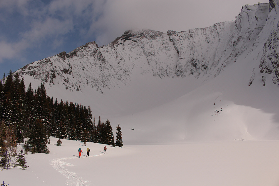 |
Angie, Marta and Zosia ski along the north shore of Rummel Lake. |

In the open valley above Rummel Lake, Zosia, Angie and Marta pass below the south face of The Tower.
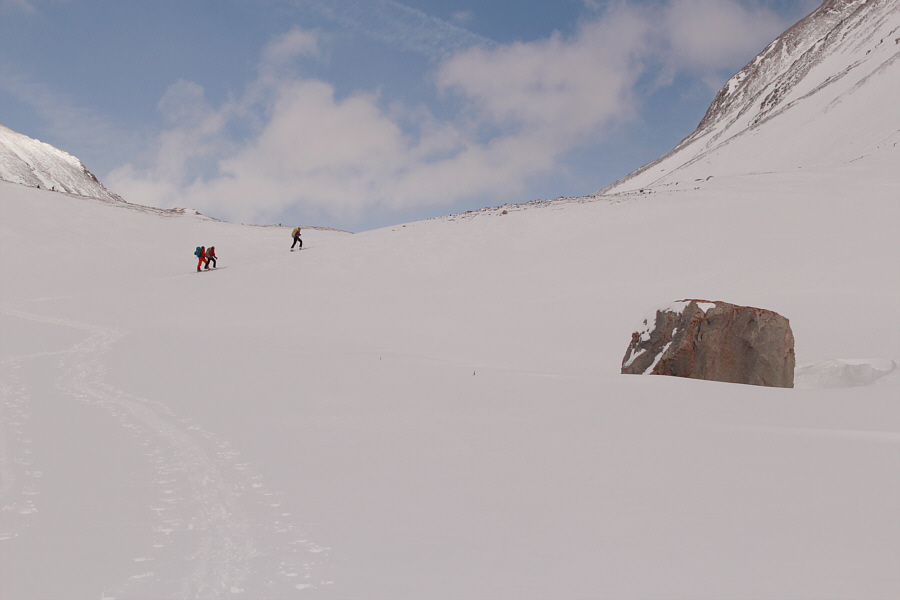 |
Angie, Zosia and Marta ski past a familiar-looking rock en route to Rummel Pass. |
 |
The slopes near the pass are quite wind-blown. |
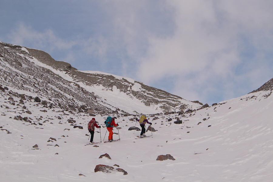 |
Zosia, Angie and Marta navigate through a slope with many protruding rocks. |
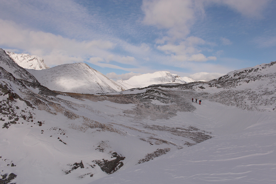 |
The group reaches Rummel Pass. |
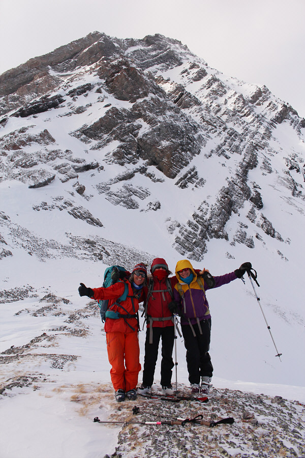 |
Angie, Zosia and Marta rejoice upon reaching Rummel Pass (2411 metres). |
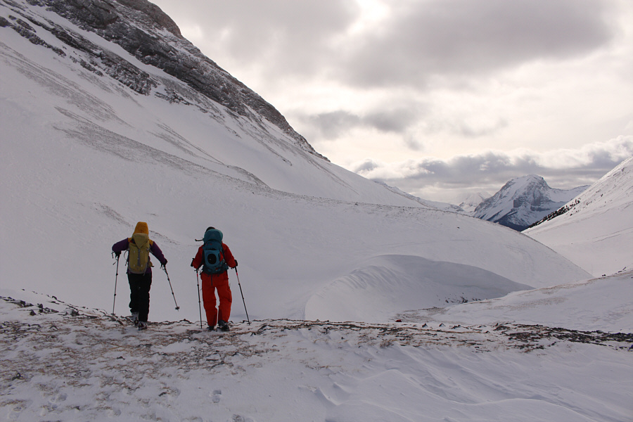 |
The cold wind prompts Marta and Angie to quickly retreat from Rummel Pass and start heading back. |

The view eastward from Rummel Pass includes Mount Kidd South Peak (left), Mount McDougall (right of centre in distance), and Lost Lake (foreground).
On the descent to the lake, I inadvertently wiped out next to a small tree well and struggled for several minutes to untangle myself and get upright again. I was in a bit of a foul mood after that spill, and it did not help that the ski out along the official snowshoe trail is so undulating which necessitated a lot of uphill herringboning and cursing (mainly by myself). Adding to the gong show was the fact that my car was parked at the wrong trailhead, and after arriving at the normal start for Rummel Lake, we still had to travel an additional 1.4 kilometres northward along the side of the highway. Fortunately, there was a perfectly wide and smooth bench of snow next to the road, and we were able to ski all the way back to my car without any difficulty.
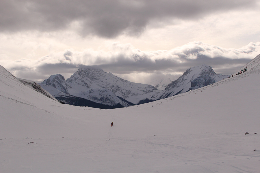 |
The group skis back out the open valley. Peaks which are visible in the distance include Commonwealth Peak, Mount Birdwood, Pig's Back, Mount Smuts and The Fist. |
 |
Zosia descends a steep gully leading back to Rummel Lake. |
 |
A convenient snow bench on the side of the highway makes it easier to ski back to the starting point. The peak in the background is Mount Nestor. |
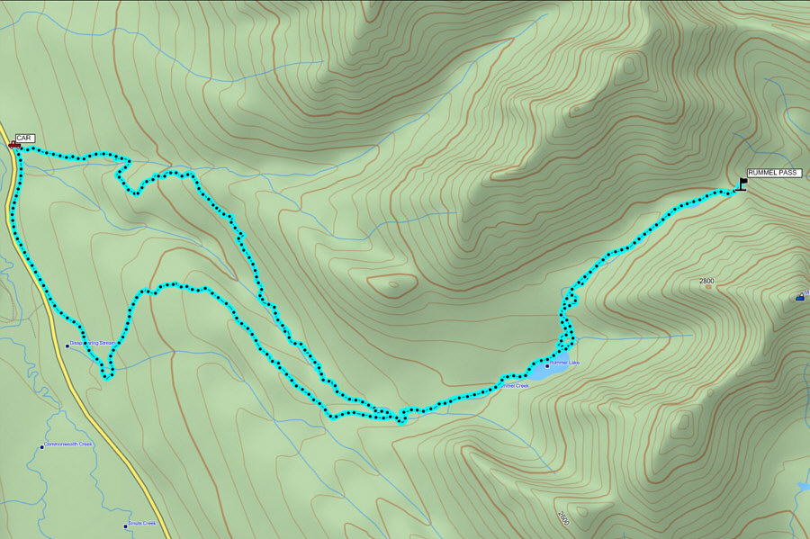 |
Total
Distance: 17.9 kilometres Round-Trip Time: 8 hours 28 minutes Net Elevation Gain: 592 metres |