Photo courtesy of Zosia Zgolak
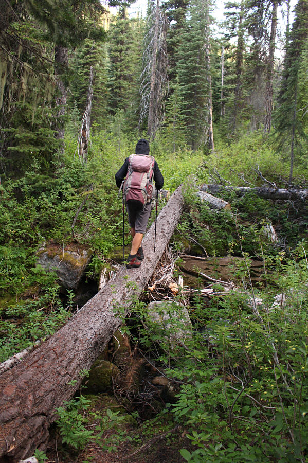
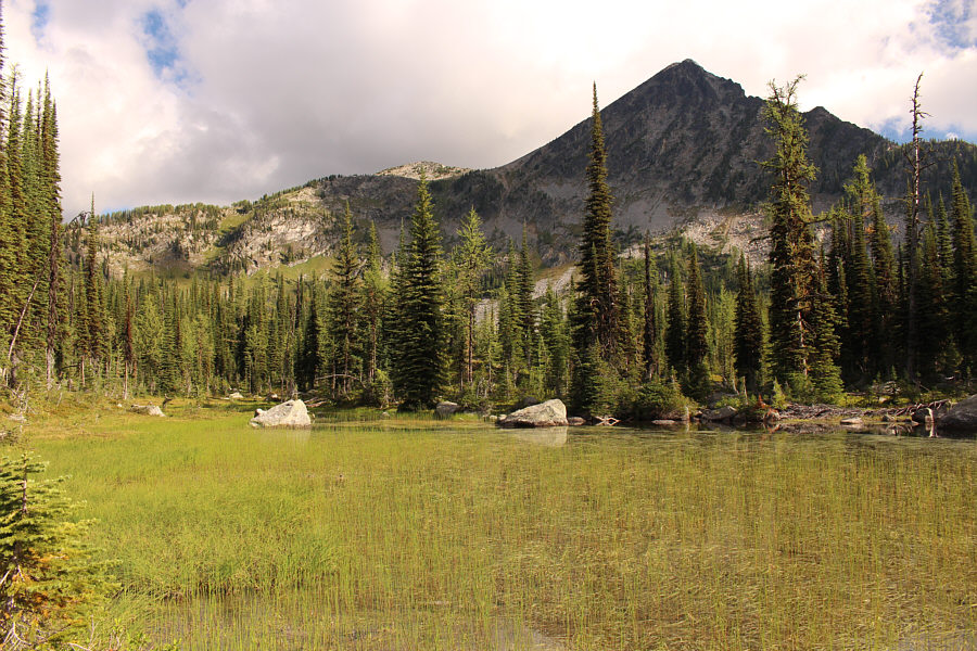
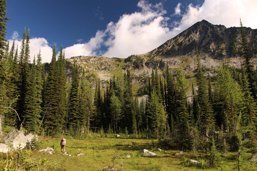
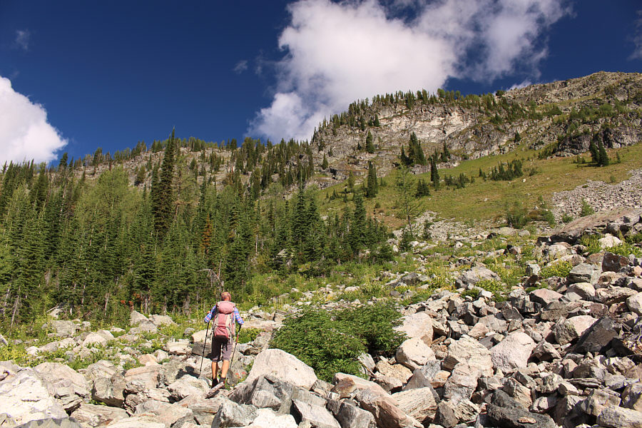
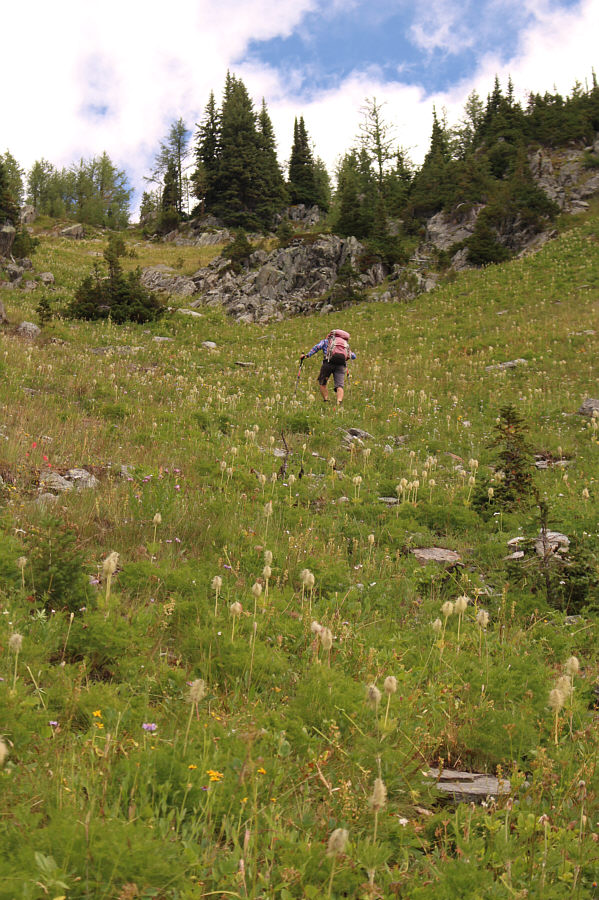


Photo courtesy of Zosia Zgolak


|
|
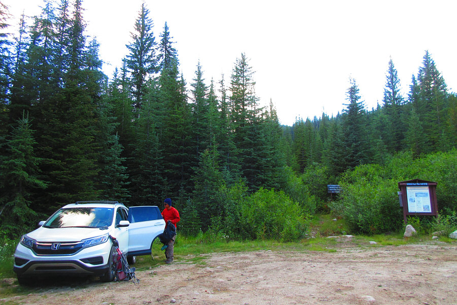
After a long and bumpy drive, Sonny
gets ready to hike at the trailhead. Photo courtesy of Zosia Zgolak |
|
|
Zosia crosses a creek on a downed tree. |
|
|
This is the first good view of Haystack Mountain from a grassy pond near trail's end. |
|
|
Zosia follows a beaten path aiming for the ridge at left. |
|
|
The route skirts the right edge of the trees at centre and then goes up a hidden gully at left. |
|
|
Zosia grinds her way up a steep gully. |
|
|
Above the gully, Haystack Mountain's summit block comes into view. |
|
|
Sonny passes Haystack Mountain's western outlier. Photo courtesy of Zosia Zgolak |
|
|
Zosia scrambles up big boulders on the west side of Haystack Mountain's summit block. |
|
|
Sonny and Zosia pose on the summit of Haystack Mountain (2678 metres). |
|
|
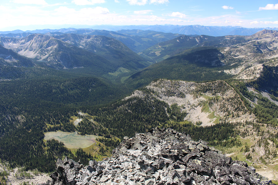
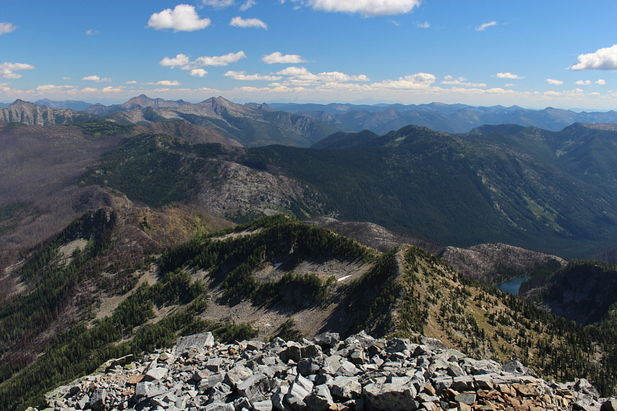
This is looking south at the approach valley and some of the ponds in the basin. |
Oddly enough, both the mountain and the lakes to the immediate north are officially unnamed.
 |
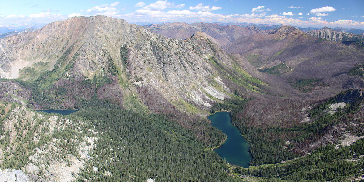
The view to the east includes Gillis Peak (forested hump at right), Mount McKay (double summit on left horizon), and Mount Evans (left of Mount McKay on horizon). |
 |
Zosia descends big boulders below the summit. Left of centre in the distance is Akokli Mountain. |
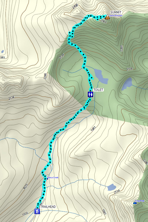 |
Total
Distance: 12.1 kilometres Round-Trip Time: 8 hours 1 minute Net Elevation Gain: 1011 metres |