BOU AVENUE
Mount Louie
On 29 December 2020, Zosia Zgolak and I hiked up Mount Louie near Grande Cache, Alberta.  After an exhausting ascent of Grande Mountain the day before, we were hoping for a less complicated follow-up outing, and Mount Louie seemed like a good choice according to its route description in the Grande Cache & Area Hiking & Adventure Map brochure.  We brought along our snowshoes just in case we ran into deep snow like we did on Grande Mountain, but as it turned out, we would not need them for this hike.  Incidentally, the mountain appears to be named for Louis Delorme, a local trapper and guide who has an interesting background.

Starting from Cowlick Creek Staging Area (located on the south side of Highway 40 about 3.4 kilometres east of Grande Cache), Zosia and I walked eastward on the main trail for about 330 metres until we reached a man-made canal connecting Grande Cache Lake and Victor Lake.  Turning right, we hiked along the north bank for 450 metres before crossing the canal on a dilapidated bridge.  Now heading in a southeastern direction, we walked for another 300 metres before arriving at a signed trail junction.  Taking the left-hand branch, we began a long and fairly steady climb up the northwest ridge of Mount Louie.  The trail is well-marked and easy to follow, and although there are some ups and downs along the way, the elevation losses are generally minor.  Much of the trail is sheltered in forest which was not necessarily a bad thing on this breezy day, but there are still some nice viewpoints along the way which help alleviate some of the monotony of the ascent.  Further up the mountain, we encountered some sections of deep snow, but this did not hamper our progress since a trail had already been broken by a previous hiker.  Other than being buffeted by brisk winds where the trees begin to thin out on the upper ridge, we had no serious difficulties in reaching the summit.

Zosia and I took a break in the shelter of some trees near the summit for about half an hour before retracing our steps down the northwest ridge.  Just like the ascent, our descent was largely trouble-free.  On our way back to the trailhead, we walked on the frozen surface of the canal for some added variety.
We're already off to a better start than yesterday!

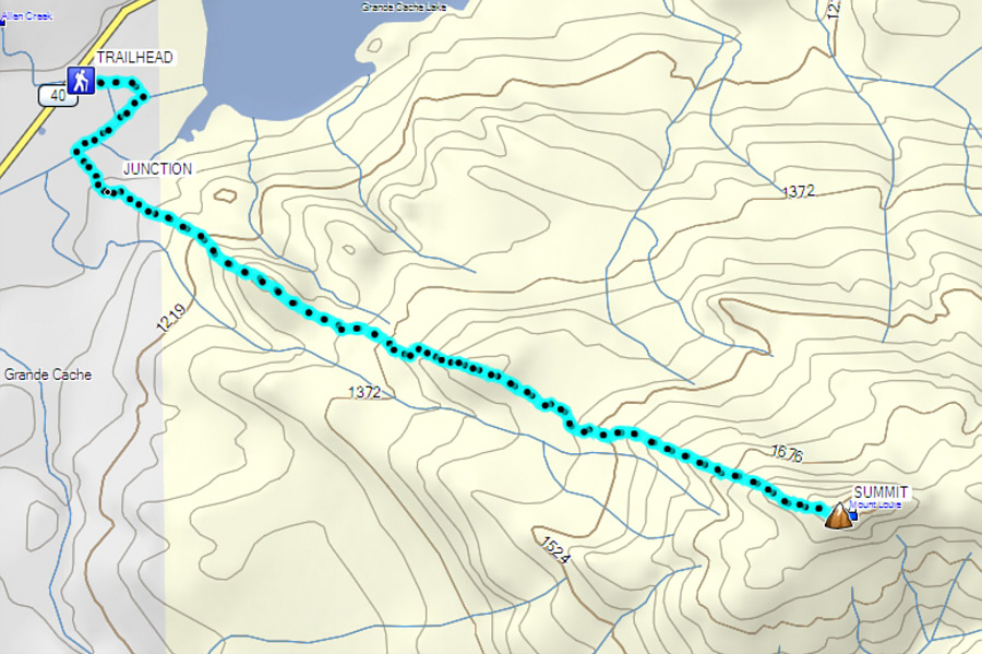
At the trailhead, Zosia studies a map of the route up Mount Louie.

My snowshoes make me look like I'm wearing a jet pack!

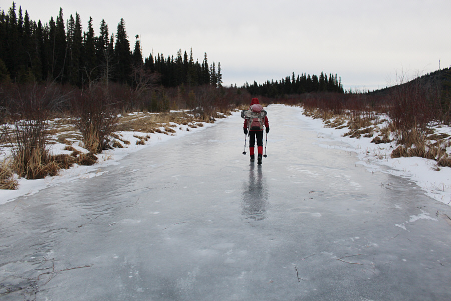
Sonny hikes alongside a frozen canal.

Photo courtesy of Zosia Zgolak

It's not the waters that are troubled...

This bridge across the canal has seen better days.

Lightning Ridge looks like a very long slog...

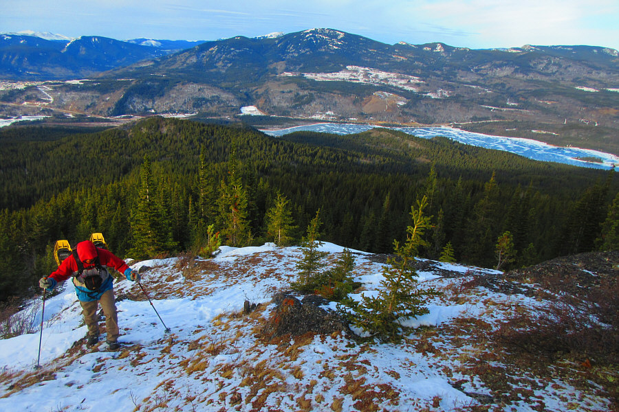
An opening along the trail grants this view of Victor Lake and Lightning Ridge to the west.


Or I'm actually a midget!

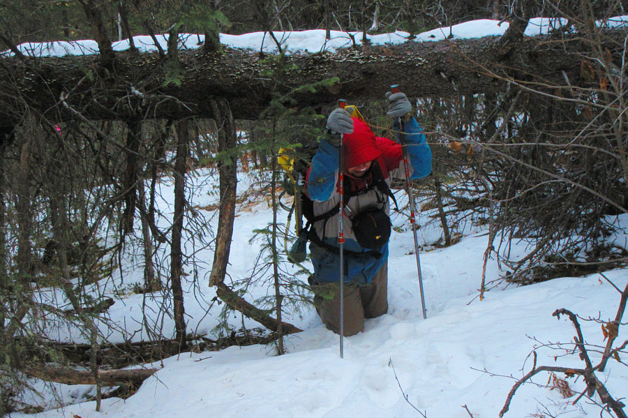
Sonny appears to be post-holing under a downed tree, but he is actually just on his knees.

Photo courtesy of Zosia Zgolak

Zosia is still hardly breaking a sweat! 
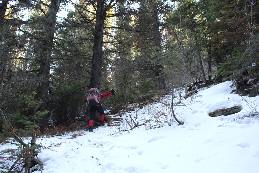
This is one of the few steeper sections along what is mostly a moderate ascent route.
Child's play compared to what we had to go through on Grande Mountain the previous day! There are some sections of deep snow higher up the mountain, but a trail has already been broken by a previous hiker.
So much more pleasant hiking here today than on Grande Mountain yesterday!

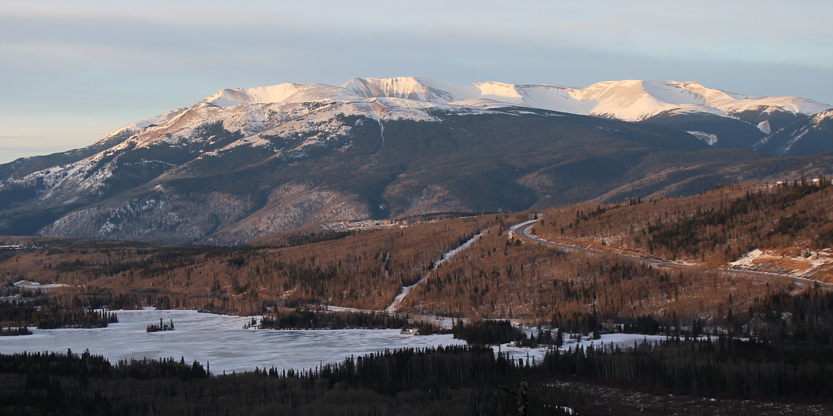
Views of Grande Mountain and Grande Cache Lake open up as Sonny climbs higher.

Photo courtesy of Zosia Zgolak

There is much worth exploring here in the future!

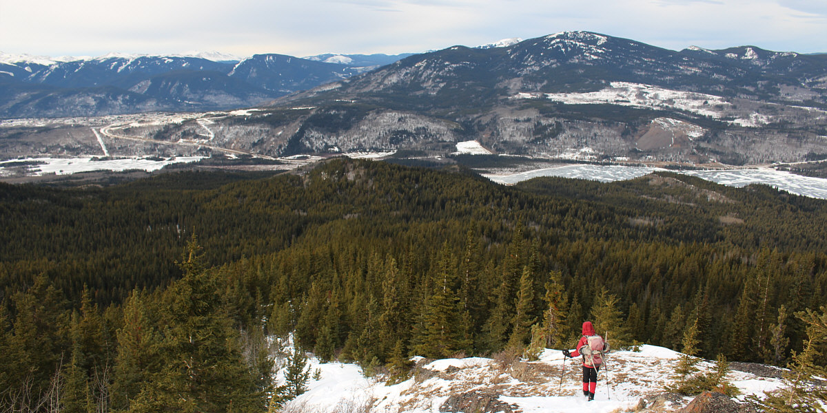
The upper parts of Mount Louie offer far-reaching views to the southwest into Willmore Wilderness Park.

Waves in the sky.

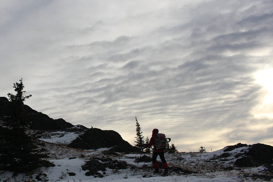
Zosia approaches the top of Mount Louie under some interesting cloud cover.

Our 2nd summit in Grand Cache!

Sonny and Zosia stand on the summit of Mount Louie (1859 metres).

A long but easy descent.

The town of Grande Cache can be seen at left as Zosia descends Mount Louie.


A possible objective for New Year's Eve... This comprehensive view of Grand Cache Lake also includes Flood Mountain at right.
We should have brought ice skates instead of snowshoes! Zosia walks on the frozen canal on the way back to the trailhead.
Tiny bubbles...in the wine...make me happy...make me feel fine! Here is a close-up of some bubbles near the surface of the frozen canal.
A very reasonable and worthwhile winter objective! Total Distance:  11.5 kilometres
Round-Trip Time:  6 hours 10 minutes
Net Elevation Gain:  745 metres

GPX Data