Photo courtesy of Asieh Ghodratabadi
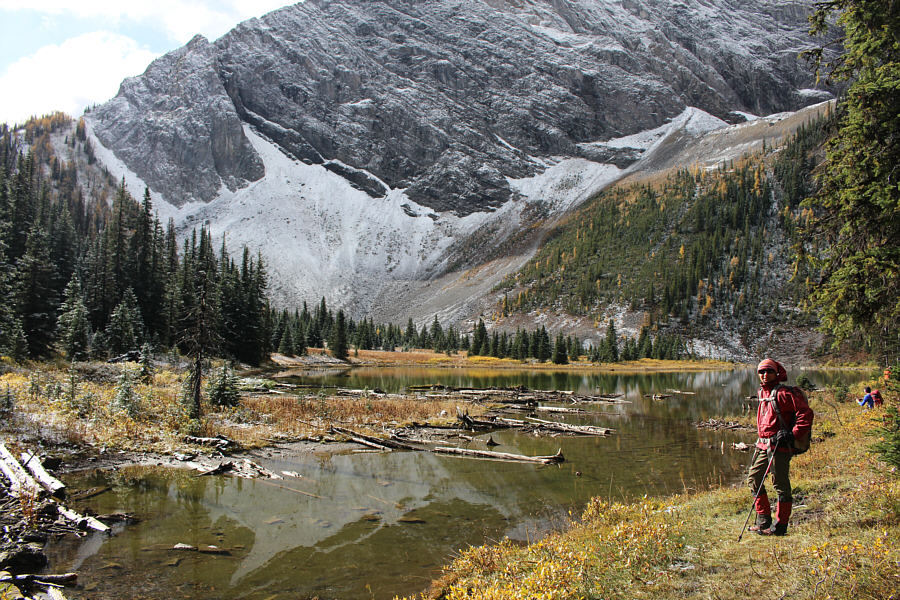
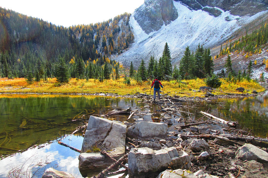
Photo courtesy of Zosia Zgolak
|
|
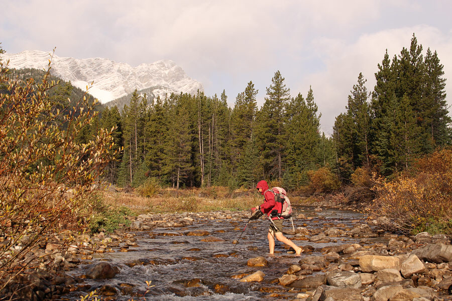
Zosia fords Storm Creek at the start of the hike. |
|
|
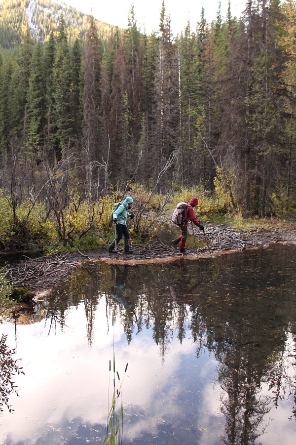
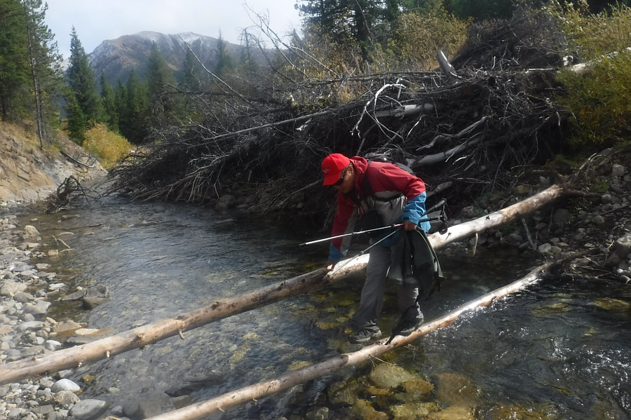
Asieh and Zosia stay dry while crossing a beaver dam. |
|
|
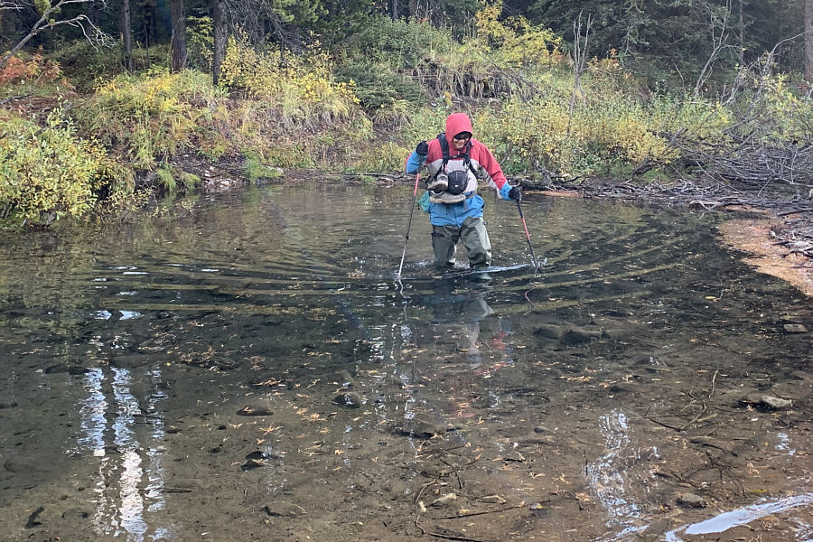
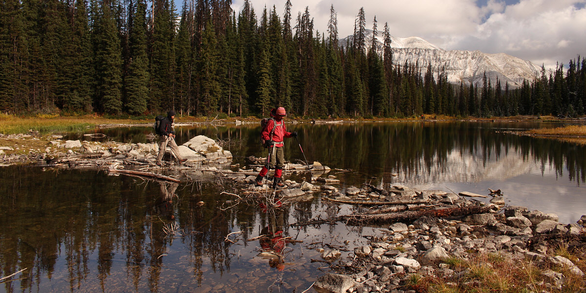
Already wearing hip waders, Sonny elects to wade through the pond beside
the dam. Photo courtesy of Asieh Ghodratabadi
|
|
|
Zosia arrives at Running Rain Lake. |
|
|
Sonny crosses a causeway at the west end of the lake. Photo courtesy of Zosia Zgolak |
Shaun and Zosia also cross the causeway.
 |
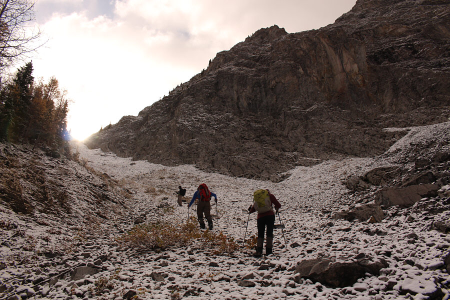
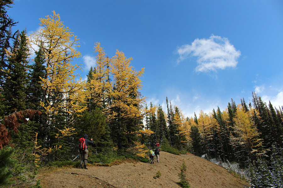
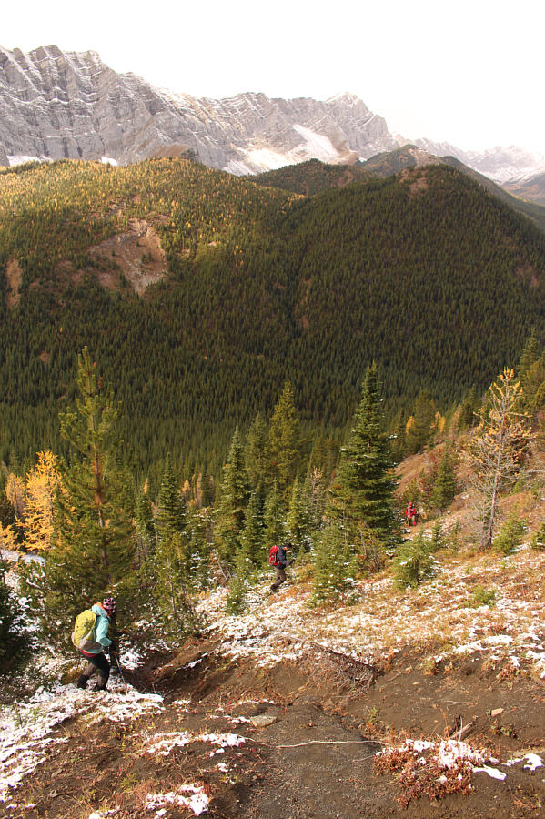
The group aims for the snow-covered scree gully to the right of the trees. |
 |
The climb up the scree gully is steep, but the rocks are mostly stable. |
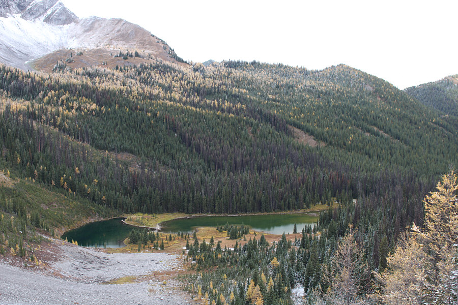 |
Here is a look back at Running Rain Lake from high up the scree gully. |
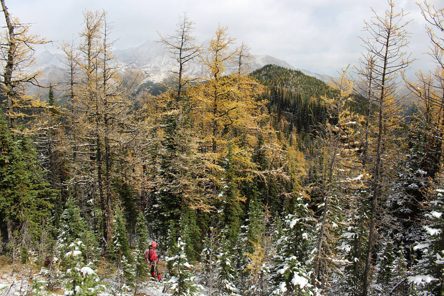 |
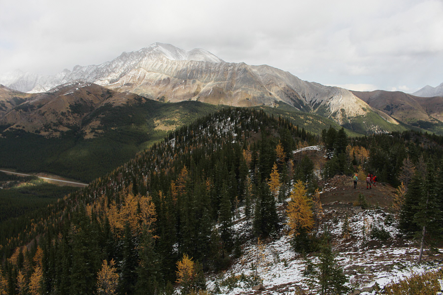
The high point of Running Rain Lake South Ridge can be seen in the distance between the larch trees. |
 |
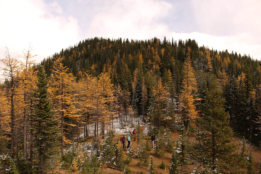
Travel along the crest of the ridge is fairly straightforward. |
 |
The group prepares to climb up the final slope before the high point. |
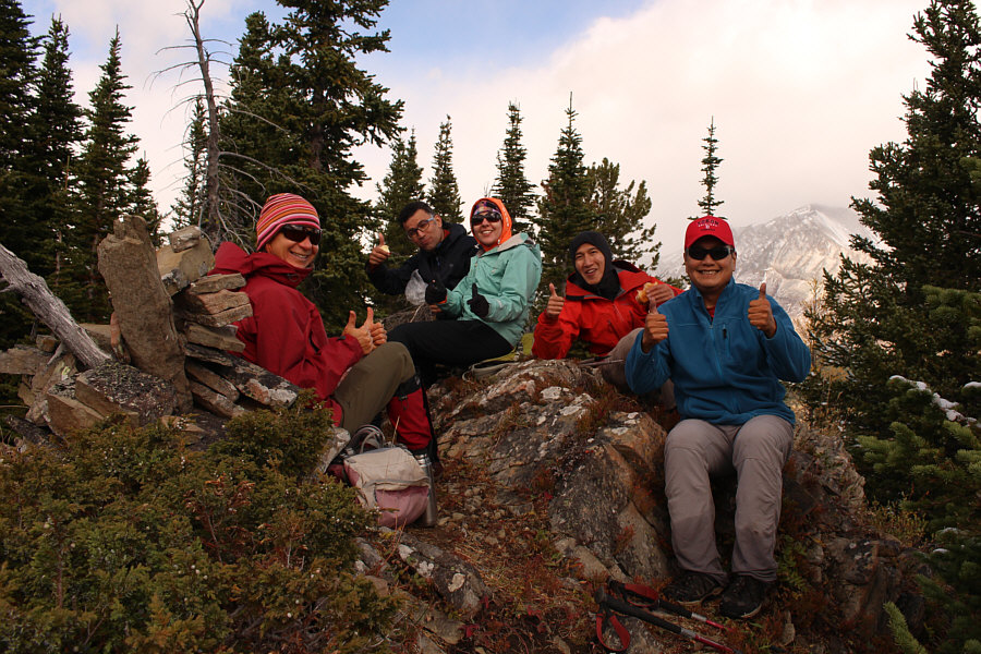 |
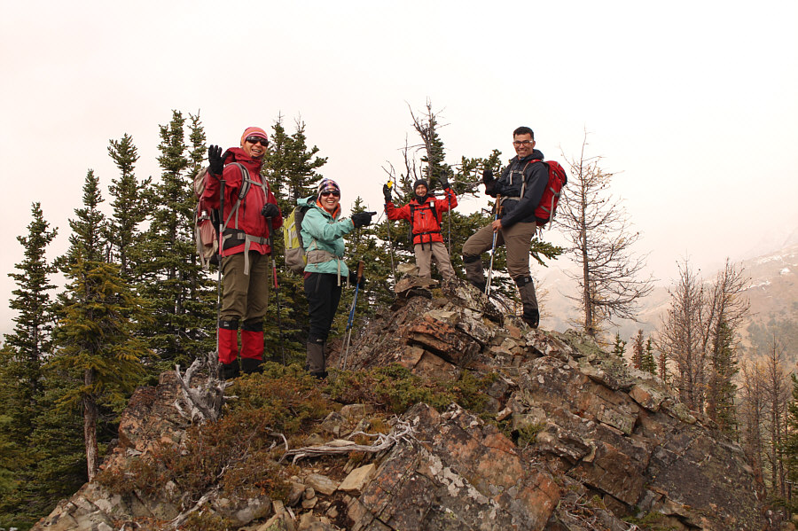
Zosia, Ali, Asieh, Shaun and Sonny show what they think of the hike up to the high point of Running Rain Lake South Ridge (2313 metres). |
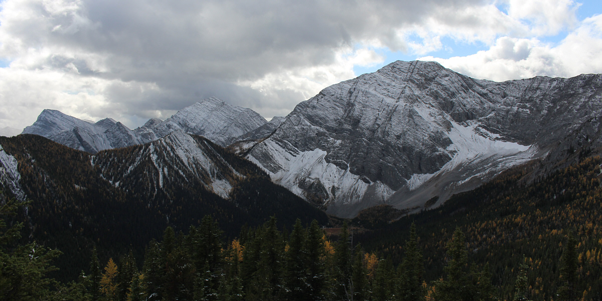
The view to the south from the high point includes Mount Odlum (right), Mount Loomis (left), and Mount Bishop (far left).
 |
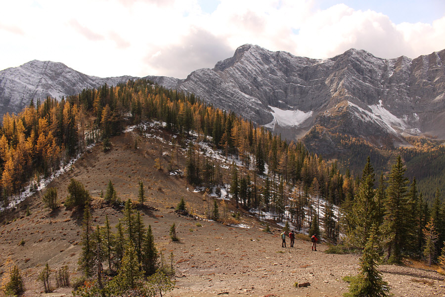
The group heads for a subsidiary bump to the northeast (centre). Dominating the horizon is Mist Mountain. |
 |
The group reaches a dip just before the subsidiary bump. |
 |
Zosia, Asieh, Shaun and Ali stand atop the subsidiary bump (2298 metres). |
 |
Returning to the dip between the high point and the subsidiary bump, the group prepares to take a short cut down the slope at bottom right. |
 |
The short cut descent to the valley bottom is initially very steep. |
 |
After retrieving his hip waders, Sonny crosses Storm Creek without
putting them on. Photo courtesy of Shaun Luong |
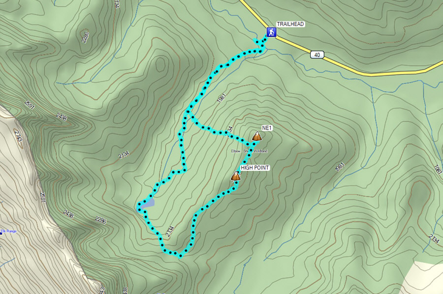 |
Total
Distance: 9.0 kilometres Round-Trip Time: 5 hours 4 minutes Cumulative Elevation Gain: 589 metres |