BOU AVENUE
Mount Sophia And Mount Roberts

While perusing maps for easy hiking objectives in the Rossland area of British Columbia, Zosia Zgolak spotted a mountain named Mount Sophia which is the anglicized form of her official Polish name, Zofia.  Naturally, we had to climb it.  Inspired by a trip report on the West Kootenay Hiking website, I already had Mount Roberts slated for 9 August 2020, but since Mount Sophia is so short and in the same vicinity, we decided to hike both on the same day.  Because of camping logistics, we started with the shorter Mount Sophia, and we relied solely on a short blurb in the Kootenays Backroad Mapbook to find our way up the mountain.

From the Rossland Visitor Information Centre/Mining Museum (junction of Highways 22 and 3B), drive west along Highway 22 for 400 metres and turn right onto Rossland Cascade Road (good 2WD gravel).  Drive for 12.0 kilometres to a junction and turn left onto a rougher side road.  The junction is the southern trailhead for the Seven Summits Trail, and low-clearance vehicles should park here.  The side road almost immediately crosses the signed Dewdney Trail and is blocked by a locked gate about 500 metres further.  We parked in a small pullout just before the gate.

From the locked gate, Zosia and I continued hiking along the road under some power lines and past a few clear-cuts.  Mount Sophia comes into view early on, and climbing it is just a matter of staying on the main road which winds up the north and west sides of the mountain.  The road eventually ends at a scenic clearing with a small cairn, and we initially thought that this was the summit.  The true summit is actually on a slightly higher bump to the northeast which requires a bit of light bushwhacking to reach but is largely viewless.  The real highlight of this trip were the bountiful wild strawberries and huckleberries that we found throughout the entire area.  We both had a hard time resisting the urge to stop every few metres to stuff our mouths especially on the return journey, and as such, our round-trip time for Mount Sophia is quite inflated.
The gate looks new. 
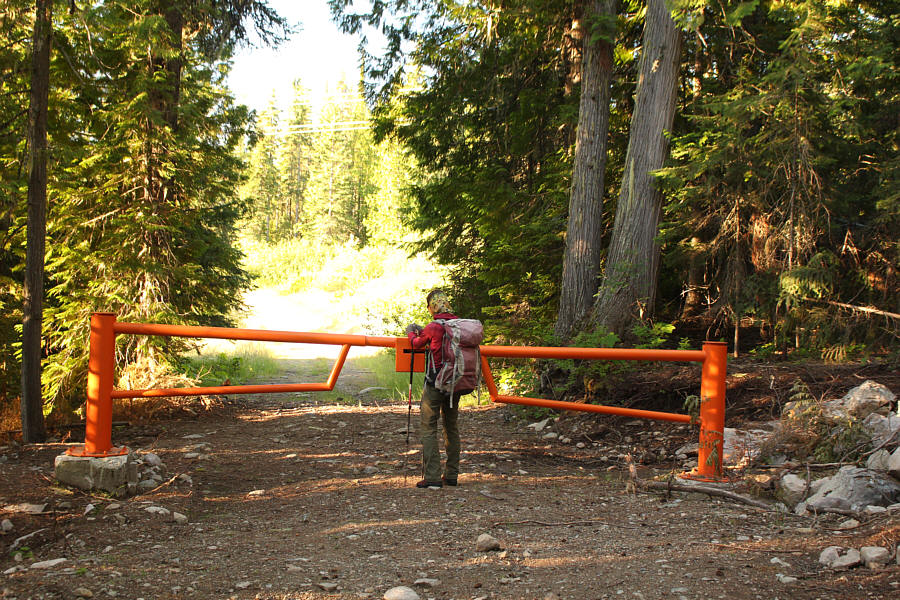
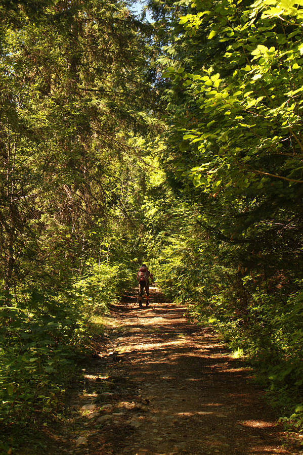
The hike to Mount Sophia begins at a locked gate.
There's a marshy pond just above the road here. 
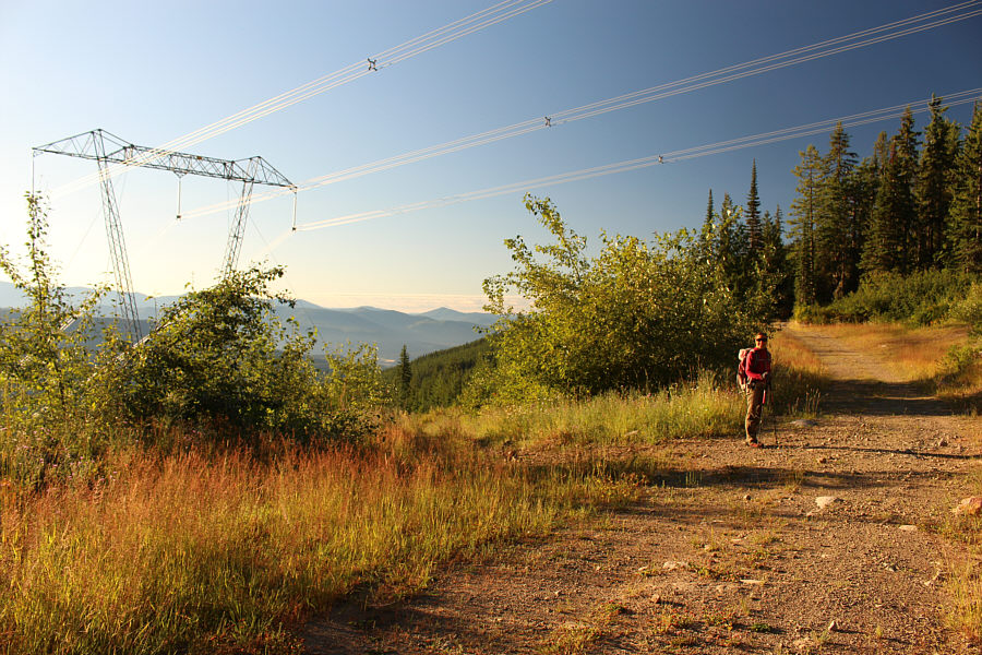
The road passes under some power lines.  ATVs sometimes come up here along a road that follow the power line right-of-way.
Hmmm...another forested summit... 
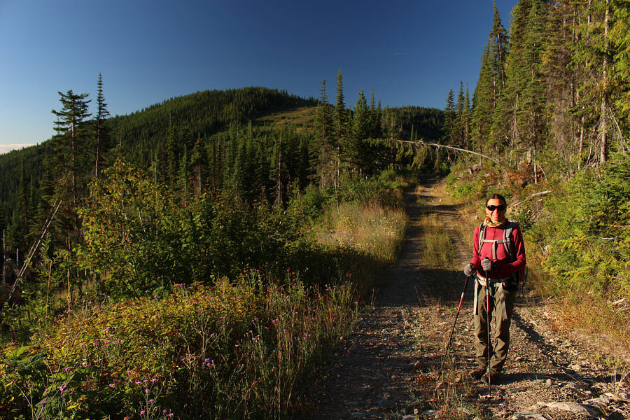
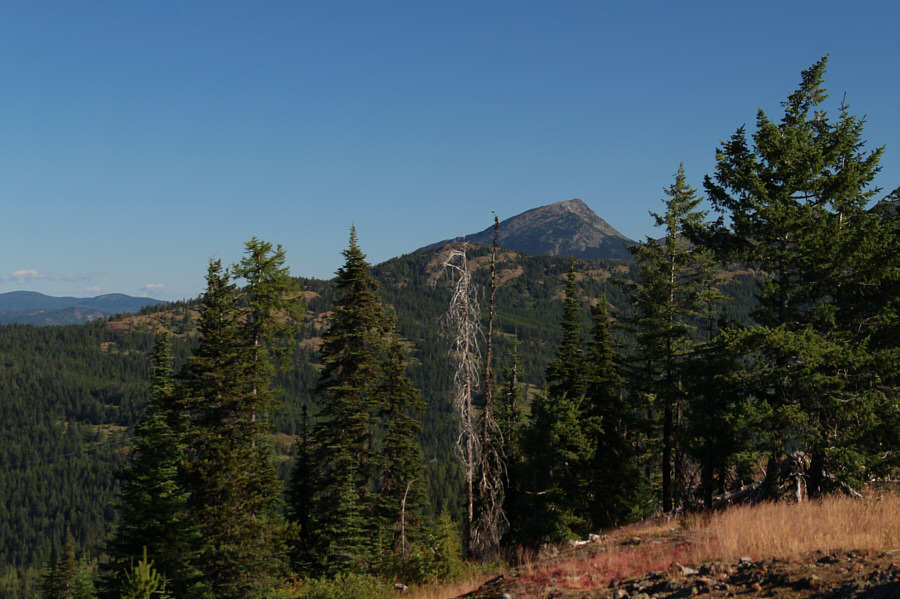
Zosia gets her first view of Mount Sophia in the distance.
Daisy, daisy, give me your answer true... 
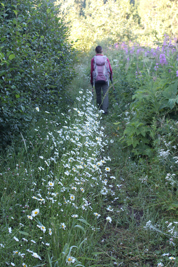
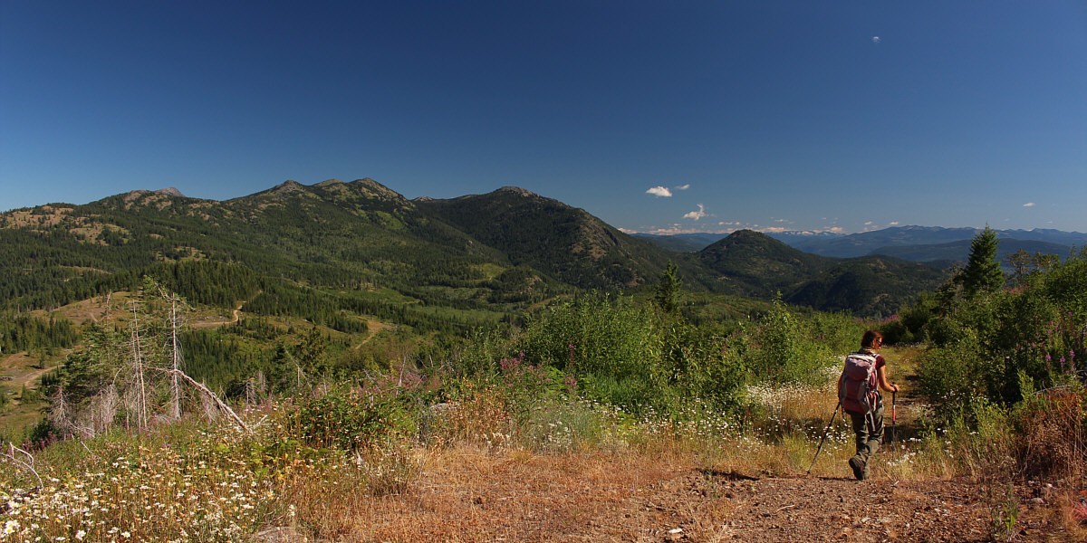
Daisies line an overgrown section of the access road.
Yummy! 
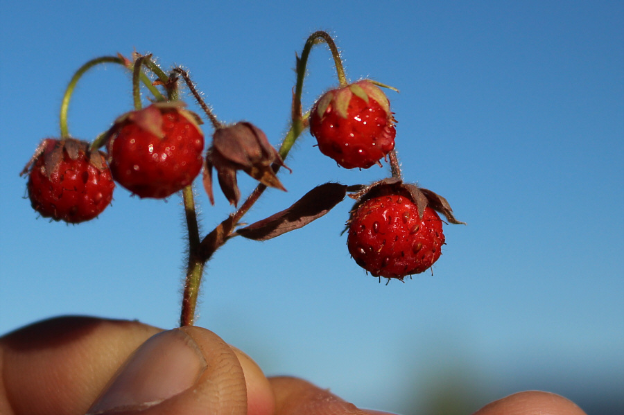
Wild strawberries are in abundance along the road.
Second breakfast! 
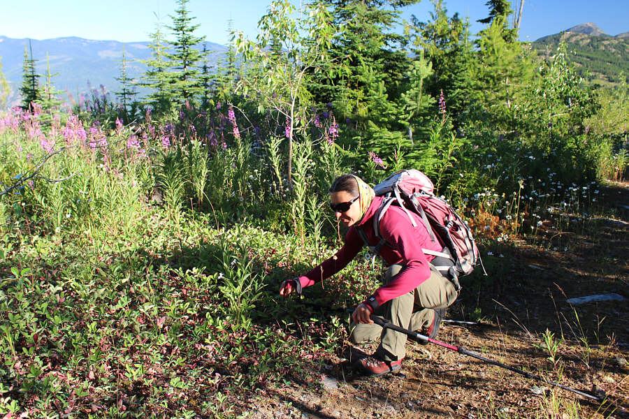
Zosia stoops to pick wild strawberries.
With peach in hand! Sonny and Zosia reach a clearing near the top which turns out to be a false summit (1596 metres).
Probably as close as we'll get to the US for the rest of this year and maybe longer. 
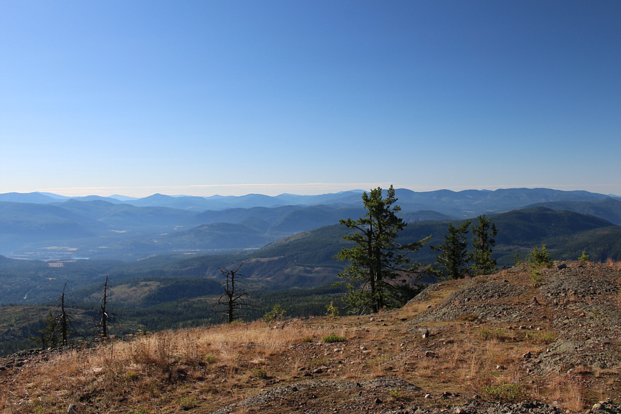
This is looking south from the false summit into the state of Washington.
It's about the only peak that stands out on the surrounding horizon. 
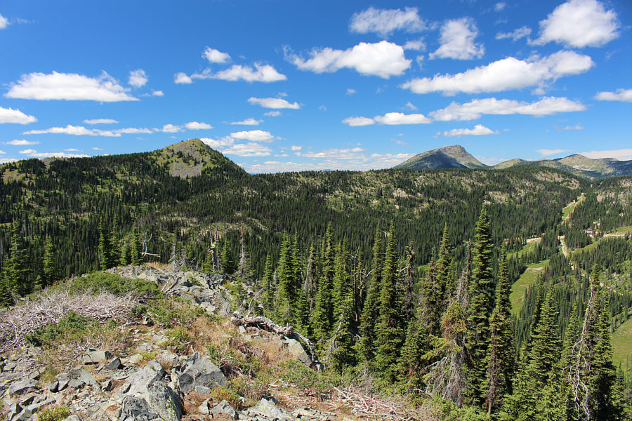
Visible through the trees to the north is Old Glory Mountain.
So...many...huckleberries!!! 
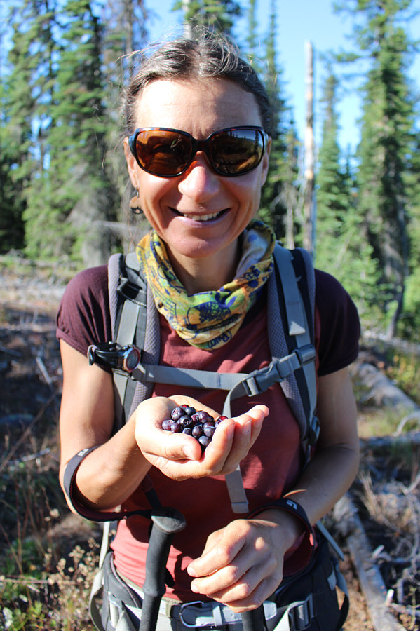
Zosia has a handful of ripe huckleberries ready to be eaten.
Unfortunately, it's a scenic zero. 
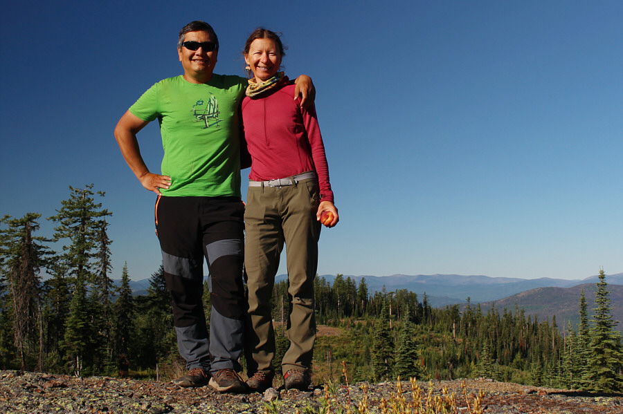
Zosia and Sonny stand on the true summit of Mount Sophia (1599 metres).
Hence, the extended round-trip time! Ripe and delicious huckleberries are bountiful on this day all over Mount Sophia.

So what's for lunch?

After numerous stops to eat huckleberries, Zosia has finally had her fill and begins hiking back to the locked gate.  Mount Roberts is visible at centre.
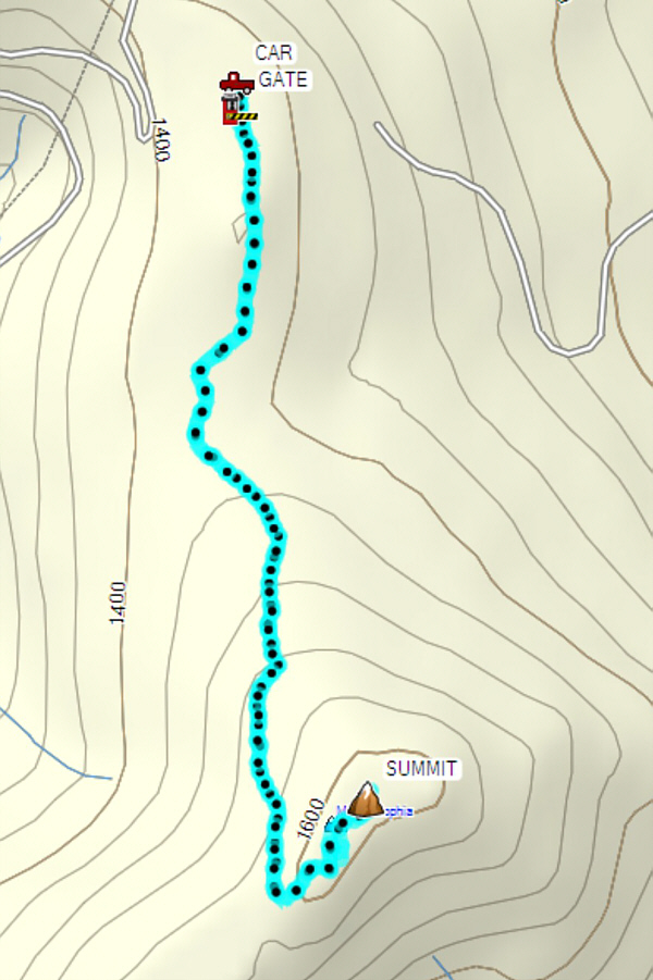
 

Come for the berries! Total Distance:  6.9 kilometres
Round-Trip Time:  3 hours 35 minutes
Net Elevation Gain:  181 metres

GPX Data

When we got back to our car, Zosia and I packed up and drove to the trailhead for Mount Roberts.  The directions to this trailhead from Rossland are given below.

From the Rossland Visitor Information Centre/Mining Museum (junction of Highways 22 and 3B), drive west along Highway 22 for 400 metres and turn right onto Rossland Cascade Road (good 2WD gravel).  Drive for 1.6 kilometres and park in a pullout across the road from the trailhead which is marked by a small black diamond sign which reads "Mount Roberts".

The trail up Mount Roberts starts along an old road winding up the eastern slopes.  Ripe huckleberries abound here, but after stuffing ourselves silly on Mount Sophia, Zosia and I found it easier to focus just on hiking here.  The trail eventually leaves the road about two kilometres from the trailhead and climbs steeply through a mix of forest and rocky outcrops.  The final climb to the summit entails some easy scrambling over boulders, but route-finding is not too difficult.  The actual summit is just a short distance past a commemorative flag pole and bench.  After taking a well-deserved break on the summit, we retraced our steps down the mountain without much fanfare.
The shade from the trees was very welcome! Zosia begins hiking up Mount Roberts along an old road.
Didn't the trail builders believe in switchbacks?? 
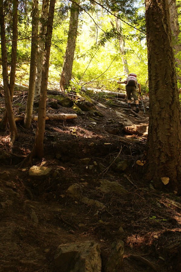
After leaving the road, Zosia climbs up the relentlessly steep trail.
Unfortunately, that meant that the hot sun was beating down on us. 
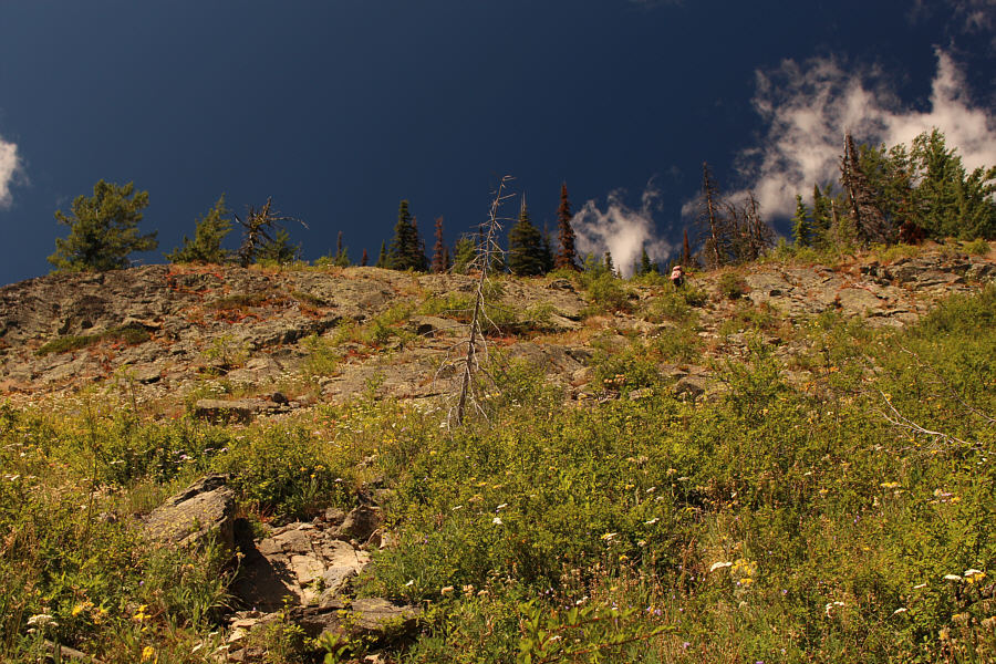
The trees begin to thin out higher up the mountain.
A nice change of pace, but there is still a lot of climbing left. 
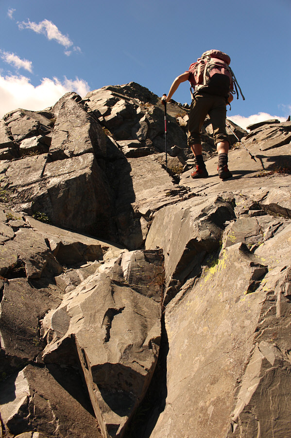
Some easy scrambling is required on the upper mountain.
We're not at the summit yet? 
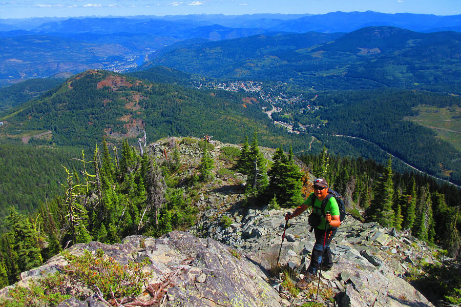
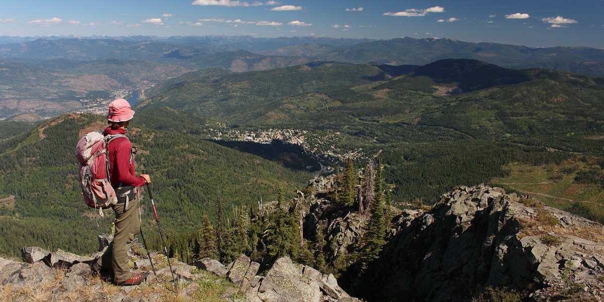
The towns of Trail (distant left) and Rossland (centre) are visible from high on the mountain.

Photo courtesy of Zosia Zgolak

Bring your own flag, I guess. 
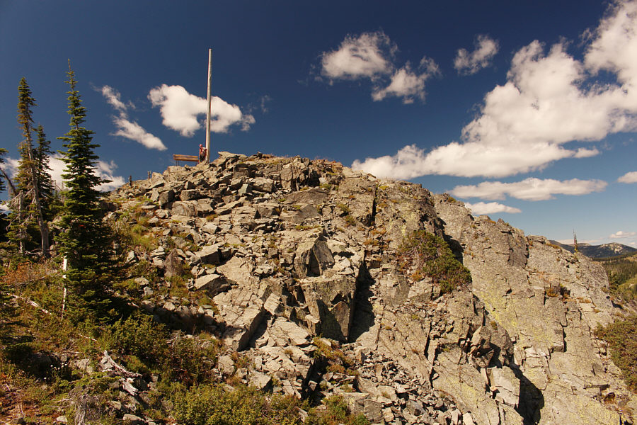
Near the summit is a bench and flag pole.  The actual summit is a short distance beyond this point.
Second summit of the day! 
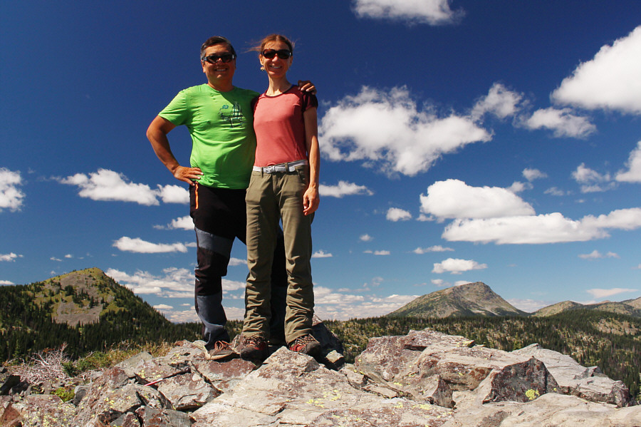
Sonny and Zosia finally stand on the summit of Mount Roberts (1988 metres).
That mountain is just O.K. 
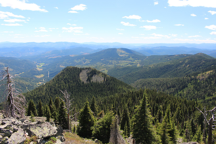
Immediately to the south is O.K. Mountain, and further in the distance at centre is Mount Sophia.
I would like to come back someday to ski Record Mountain. Record Mountain (left) and Old Glory Mountain (right) stand out to the northwest.
I wonder if they allow hikers up there... 
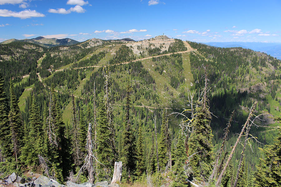
Immediately to the north is Granite Mountain which is part of Red Mountain Resort.

And more huckleberry eating along the way!

Zosia takes another look down on Rossland before commencing the steep descent.


You could call this one the Roberts Grind! 
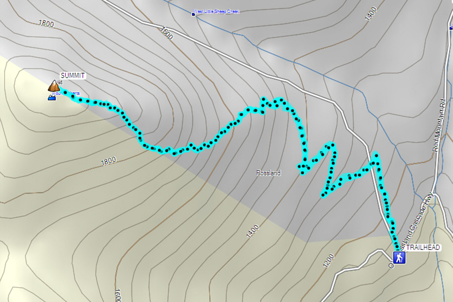
Total Distance:  7.8 kilometres
Round-Trip Time:  5 hours 45 minutes
Net Elevation Gain:  858 metres

GPX Data