On 11 November 2021, I had a rare day
without any formal Remembrance Day obligations in town and decided to
take advantage of the nice weather by going for a hike to Aspen Ridge and
Sinnot Hill in Alberta's Kananaskis Country Public Land Use Zone.
Joining me were Chester Fitchett, Aga Sokolowska, Marta Wojnarowska and
Zosia Zgolak. I got the idea for this relatively easy hike from a
recent trip
report by Gillean Daffern, but we would do a slightly modified
version of her described loop.
From the intersection with Secondary Road (SR) 762, drive west on SR
549 for 6.3 kilometres and turn left onto Ware Creek Road. Drive
for 500 metres and park in an open field on the left near a building
which Daffern calls the "Caledonian Installation". The signed
trailhead for the official 9999 trail is on the east side of the field,
but Daffern's loop begins behind the building.
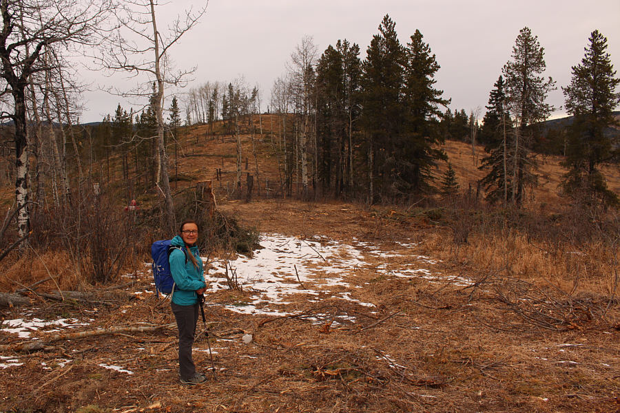
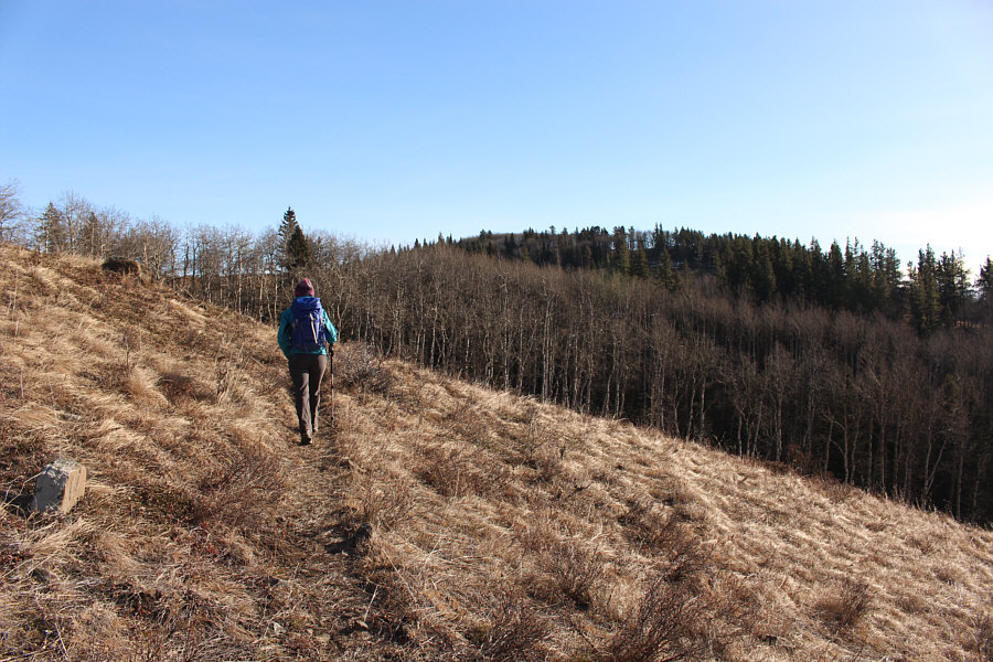
Heading southwest past the building, Chester, Aga, Marta, Zosia and I
ignored the obvious cut line which parallels the road and instead
followed a faint trail which becomes more well-defined at a makeshift
sign which reads "TNT Teagan's neato Trail". We easily followed
this mountain biking trail through mostly open cut blocks to reach the
crest of Aspen Ridge as named by Daffern. Aspen Ridge is comprised
of three distinct bumps, and the trail gains the ridge crest just east of
the middle bump. Before continuing with Daffern's loop, we took a
side trip over the middle bump and across a short dip to tag the
westernmost bump which also happens to be the highest point of Aspen
Ridge. We then backtracked over the middle bump and crossed a
logged area before traversing over the easternmost bump. Past this
bump, we stopped in a grassy clearing to observe a minute of silence
precisely at 11:00 AM. The pleasant vistas here made it a great
spot to commemorate those who had fought and sacrificed for our freedoms.
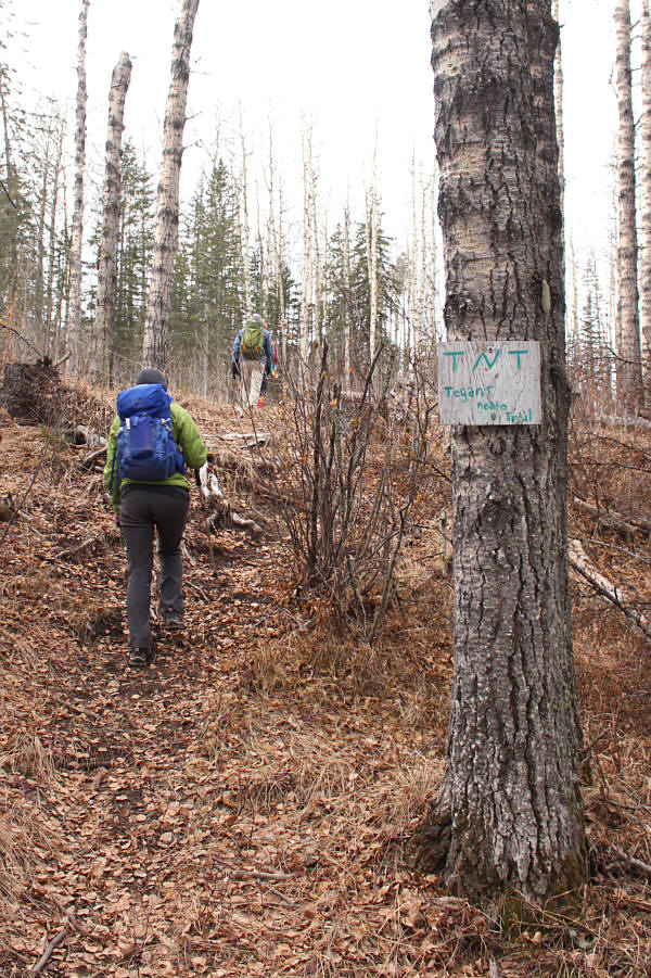 |
A homemade sign marks the start of the trail to Aspen Ridge. |
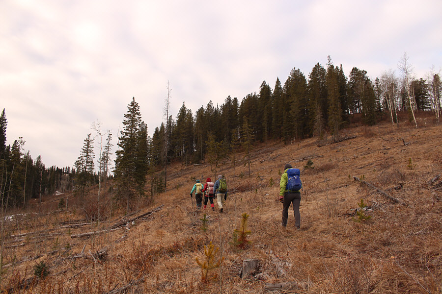 |
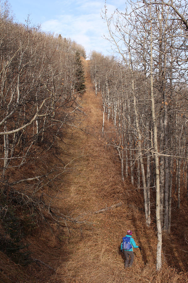
The trail is easy to follow through an
old cut block. |
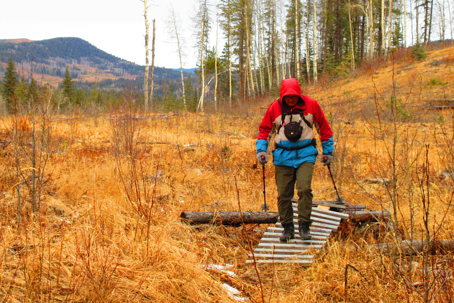 |
Sonny walks across one of several seemingly superfluous boardwalks along
the trail.
Photo courtesy of Zosia Zgolak |
Square (Mesa)
Butte stands out prominently to the north.
 |
Aga approaches the westernmost of
three distinct bumps on Aspen Ridge. |
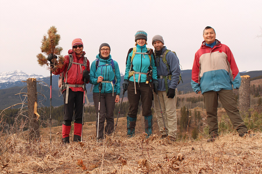 |
Zosia, Aga, Marta, Chester and Sonny stand on Aspen Ridge's westernmost
bump which also happens to be the highest point (1578 metres). |
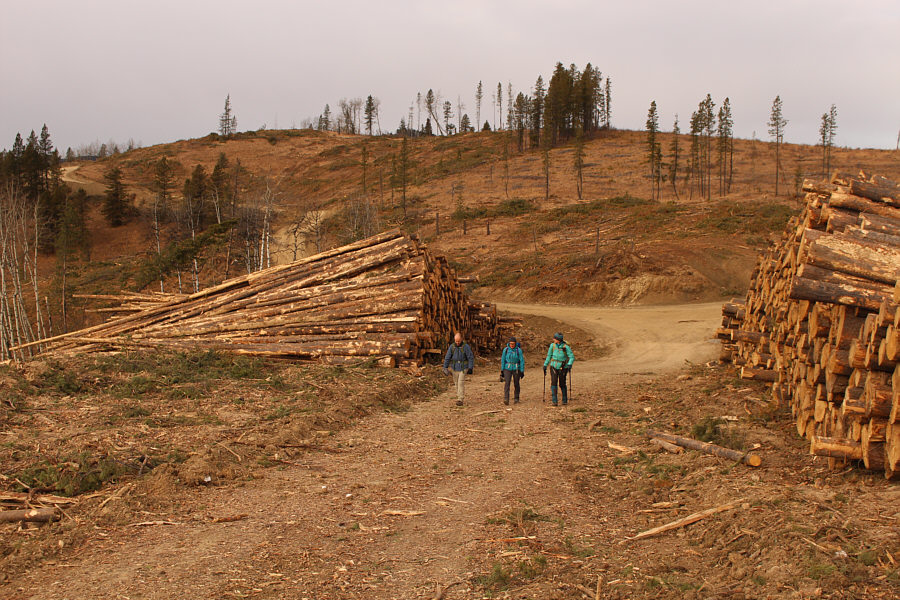 |
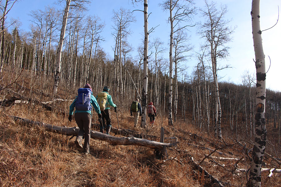
Chester, Aga and Marta walk between piles of lumber after descending from
the middle bump of Aspen Ridge. |
 |
Aspen Ridge finally lives up to its name on the easternmost bump. |
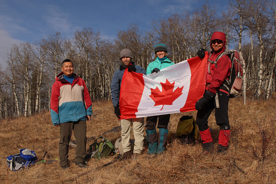 |
Sonny, Chester, Marta and Zosia hold up the Canadian flag near the east
end of Aspen Ridge to commemorate Remembrance Day. |
Rather than descending all the way to Ware Creek as Daffern had done,
Chester, Aga, Marta, Zosia and I dropped off the ridge crest to the north
and crossed a cut line before contouring the slope to reach a junction of
logging roads at what Daffern refers to as "9999 pass". We turned south
here to pick up another trail which runs across the west side of an
intervening bump between the pass and Sinnot Hill. Going through a second
logged area, we eventually climbed up the west ridge of Sinnot Hill. Just
before reaching the high point of Sinnot Hill, we ran into a couple of
hunters scouting for game in Ware Creek valley to the south. Coincidentally, one of
them was the same hunter Zosia and I met only five days earlier on
John Ware
Ridge except
that he had a different partner then. We had a second nice chat with him and
his new partner before leaving the two of them to hunt in peace. We then
stopped for a lunch break before hiking the remaining distance to the top
of Sinnot Hill.
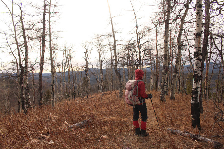
Leaving the top of Sinnot Hill, Chester, Aga, Marta, Zosia and I
backtracked to the second logged area where we had another extended stop
before climbing over the aforementioned intervening bump. We
continued down the north side of the bump until we intersected a logging
road running eastward from 9999 pass. We followed this road for
about 450 metres before turning left at a T-junction onto another logging
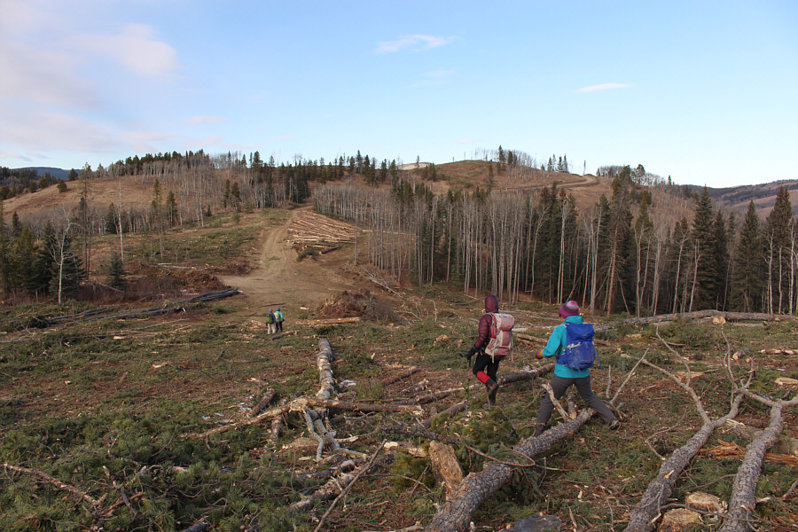
road heading north. Passing more logged areas, we hiked northward
for less than a kilometre to the road's end at a vast cut block. At
this point, we followed the edge of the cut block slightly to the east
and weaved through a short stretch of still-standing forest to intersect
the 9999 trail. Turning left, we easily followed the trail back to
our starting point at the Caledonian Installation.
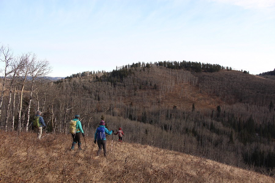 |
The group drops off the east end of Aspen Ridge aiming for 9999
pass (far left). In the background is an intervening bump between
the pass and Sinnot Hill (out of view to the right). |
 |
Aga crosses a cut line near the east end of Aspen Ridge. |
 |
The group follows a trail across the west side of the intervening bump
between 9999 pass and Sinnot Hill. |
 |
Sinnot Hill comes into view as Aga rounds an open slope on the
intervening bump. |
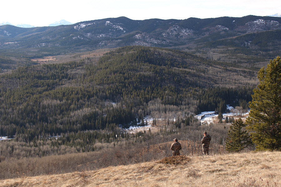 |
Some hunters scout for game in Ware Creek valley. |
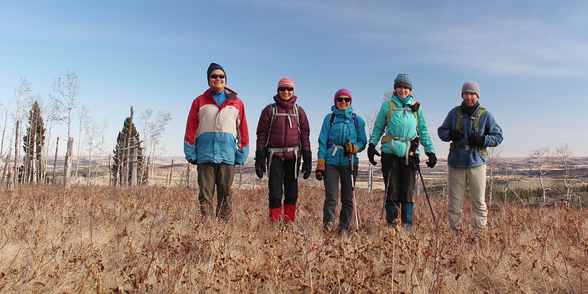
Sonny, Zosia, Aga, Marta and Chester stand atop Sinnot
Hill (1532 metres).
 |
The group backtracks through a logged area en route to the high point
(right of centre) of the intervening bump. |
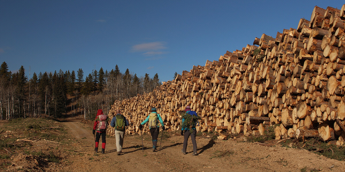
The group walks by a wall of stacked logs.
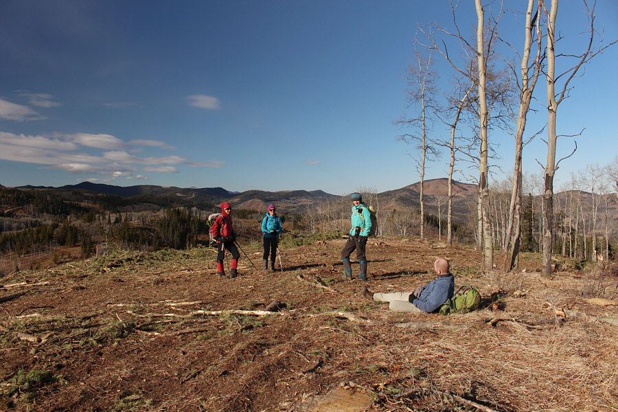 |
The group reaches the top of the intervening bump (1528 metres). |
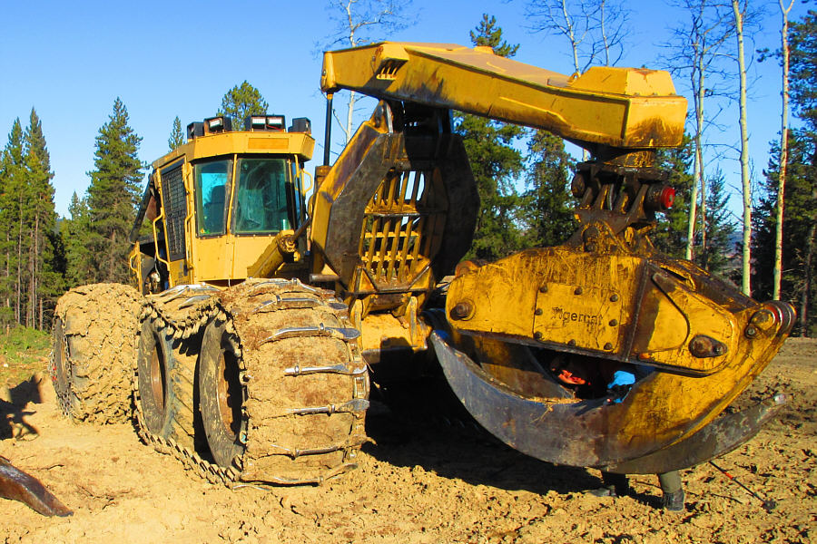 |
Sonny inadvertently gets himself caught in some logging machinery.
Photo courtesy of Zosia Zgolak |
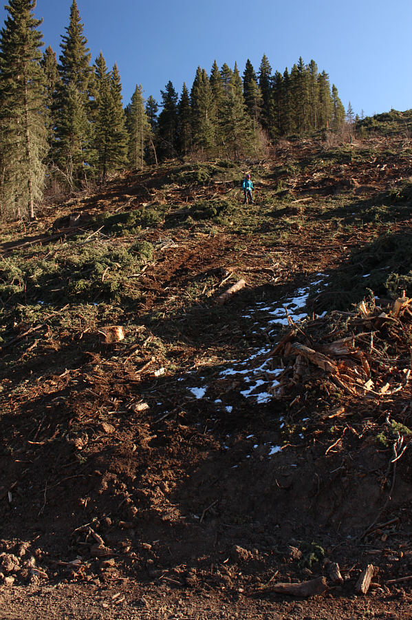 |
Aga descends a slope that has been recently logged. |
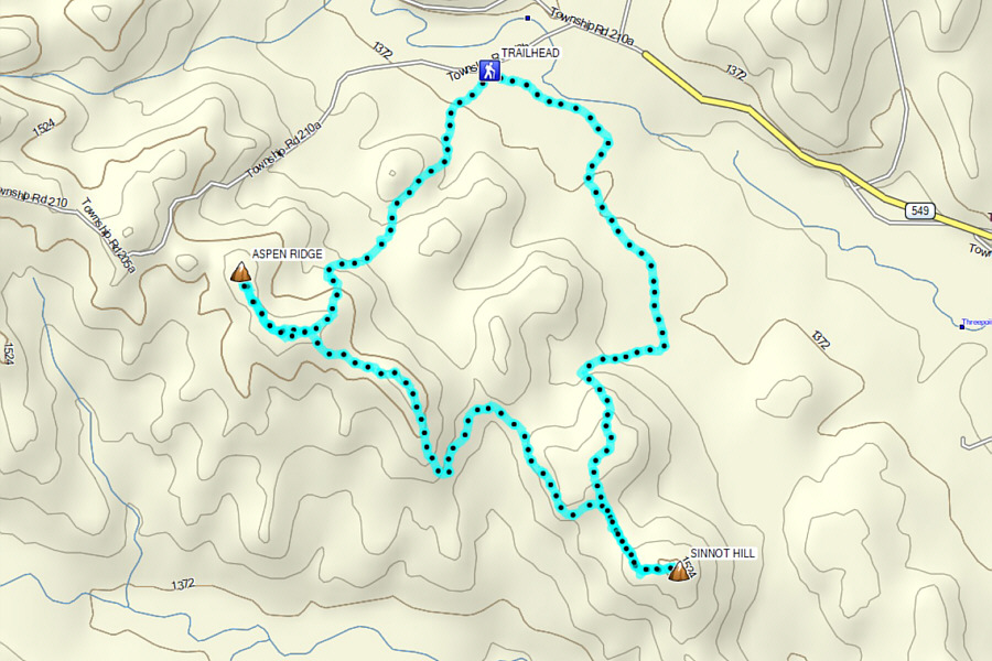 |
Total Distance: 10.7 kilometres
Round-Trip Time: 5 hours 8 minutes
Cumulative
Elevation Gain: 433 metres
GPX Data |